
 Mountain
- Ability level Advanced
- Routes 1 recorded route
Ability level:
Advanced
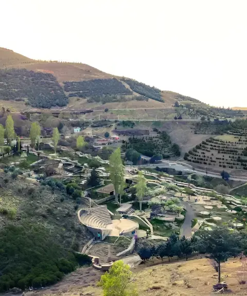
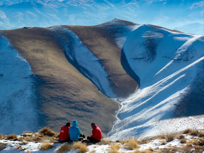
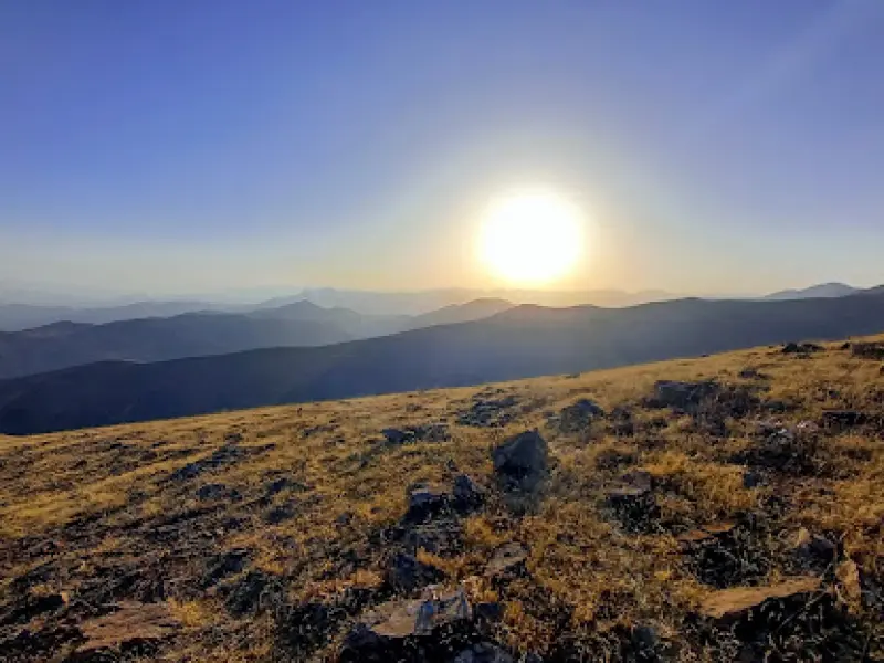
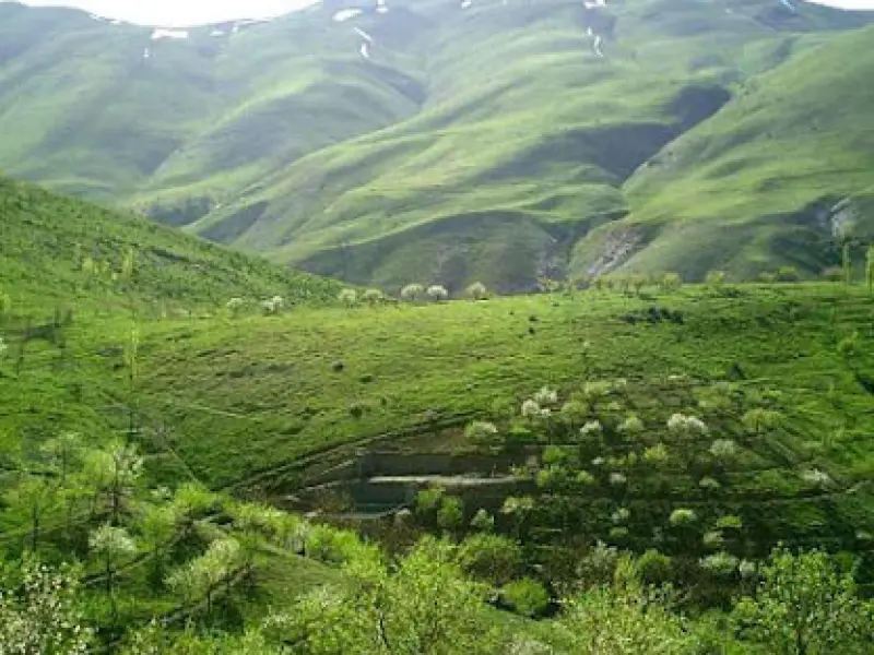
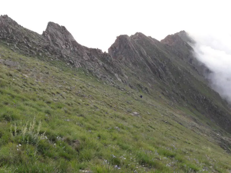
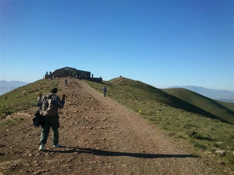
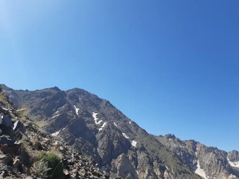
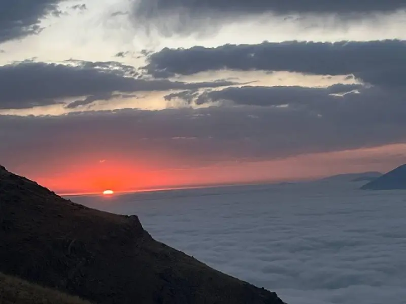
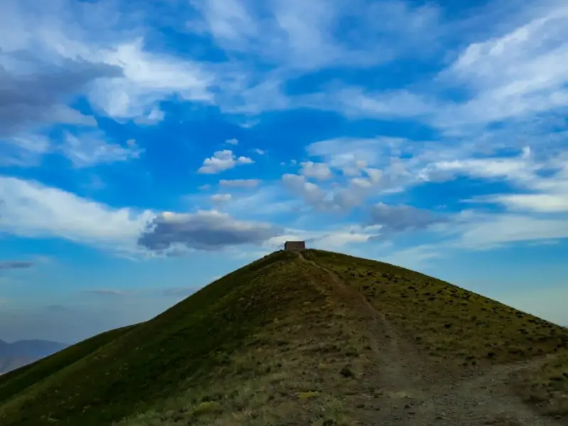
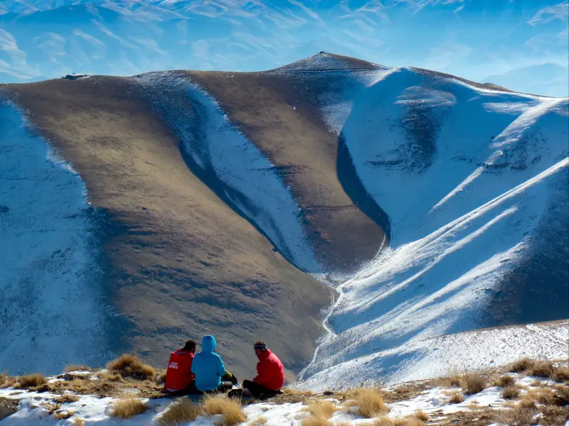
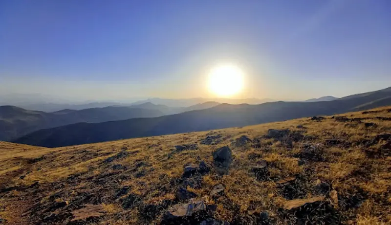
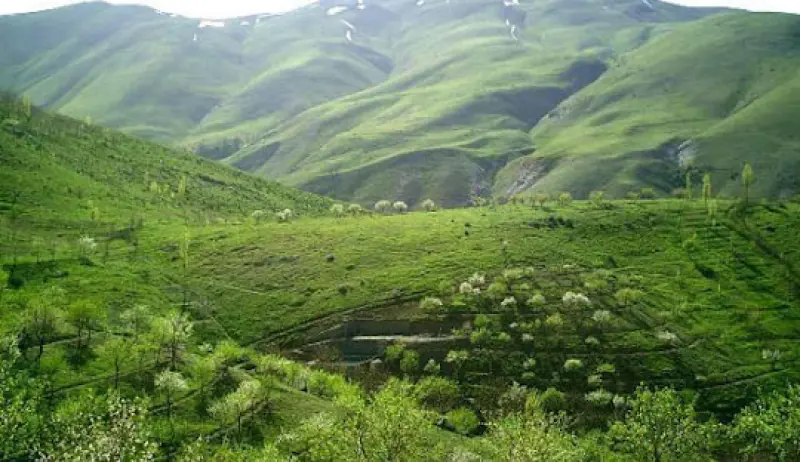
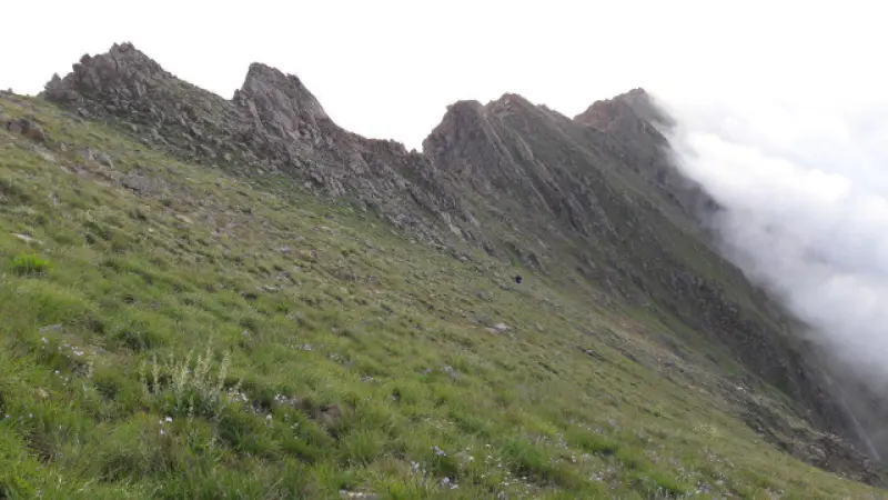
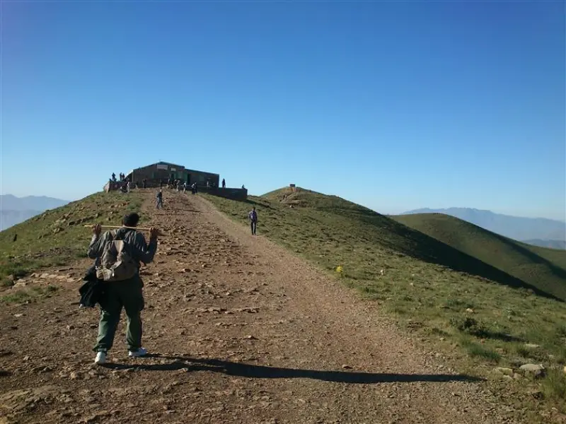
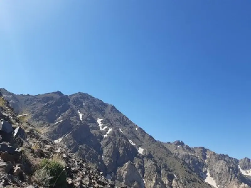
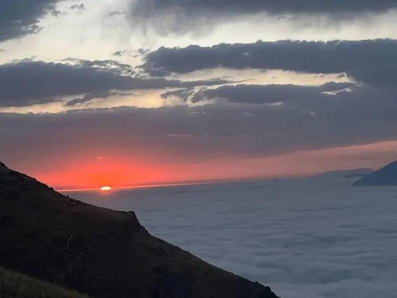
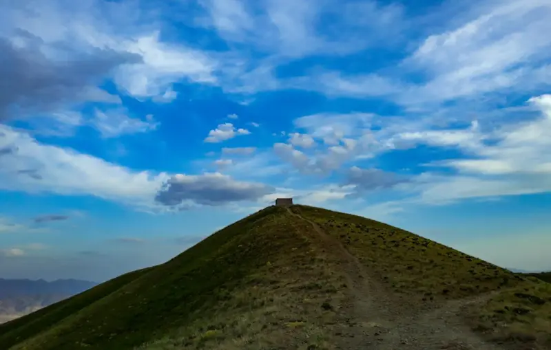
Abidar (Kurdish: Awiyar) is a mountain in the Zagros range in western Iran. It overlooks the city of Sanandaj, the capital of Kurdistan Province, and is surrounded by many springs and recreation areas. Some of these recreation areas include Park-e Kodak (Children's Park), Amiriyeh, Amaniyeh, Khezr Zende (Khayrzaneh), Haft Asiab, Mamatakeh, Kani Shafa, Kani Banta, Kachak Quran, Guyzeh Kavir, Ban Shalaneh, Taqehdar and the summit of Abidar. A shelter for climbers has also been built on the summit of Abidar.
Abidar is very popular because of its proximity to Sanandaj, its height compared with the surrounding hills, and its abundant underground springs. In the Kurdish language, the word "Abidar" (Awiyar) means "a place full of water", which describes the natural features of this mountain well. The mountain appeals not only to nature lovers and climbers; many people, especially on holidays, also come to this recreation area to enjoy the beautiful view of Sanandaj.
Abidar consists of two mountains called Greater Abidar and Lesser Abidar. The height of Greater Abidar is 2,550 metres above sea level, while Lesser Abidar is about 2,350 metres high. A mountain hut for climbers has been built on top of the flat summit of Lesser Abidar. In addition, a cable car is currently under construction on the route between Park-e Kodak and the summit of Abidar, which will add to the appeal of the area.
Written by زهرا لنگری Last updated
Activities
What you can do here, and what it takes
-
Walking
2 ساعت مدت صعود به این قله میباشد.
-
Mountaineering
تجهیزات لازم کوهنوردی را به همراه داشته باشید.
Specifications
Introduction of the location and specifications of Abidar Peak
Location:
Kurdistan, Sanandaj
Coordinates:
35.31554541, 46.92516607
Open in maps
Height above mean sea:
2550 meter
Land Form:
Mountainous, Mountain
Faunas:
Presence of Predatory Animals, Presence of Allergenic Insects, Presence of Herbivorous Animals
Transports:
Private car, Walking, Only with technical climbing equipment
Tourist Attractions in Kurdistan
Attractions that are nearby

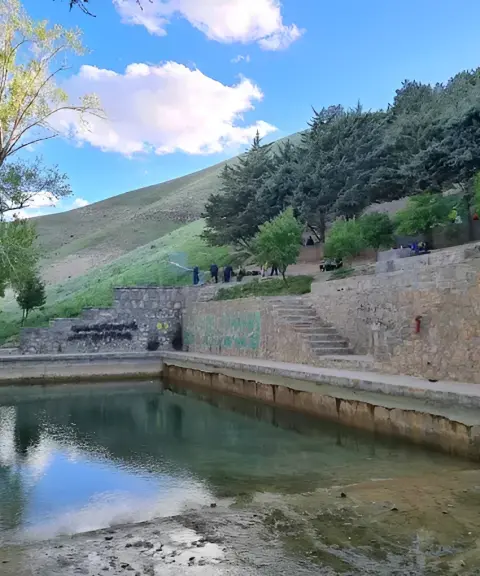

Guyzeh Kavir
Province Kurdistan
- Walking
- Swimming
A natural retreat and recreation area on Mount Abidar in the heart of Sanandaj
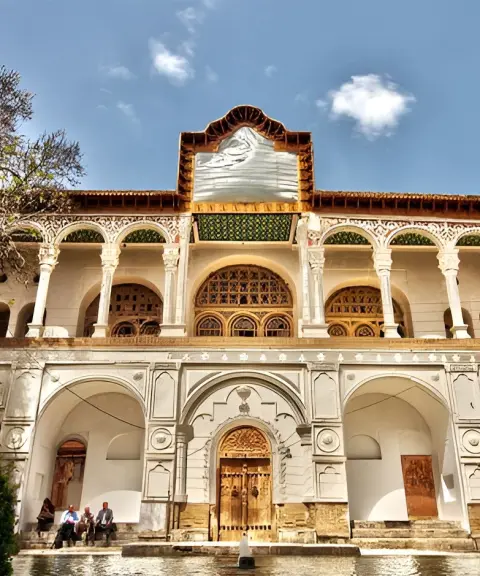
Khosrowabad Mansion
Province Kurdistan
- Walking
The Splendor of Qajar Architecture in the Heart of Sanandaj
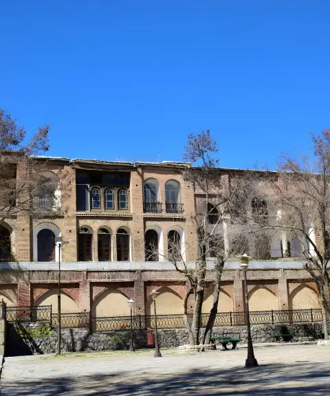
Vakil al-Molk Mansion
Province Kurdistan
- Walking
A tale of color, light and life in a Qajar-era house
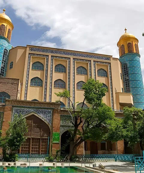
Jame Mosque of Sanandaj
Province Kurdistan
- Walking
A Masterpiece of Qajar Architecture in the Heart of Sanandaj
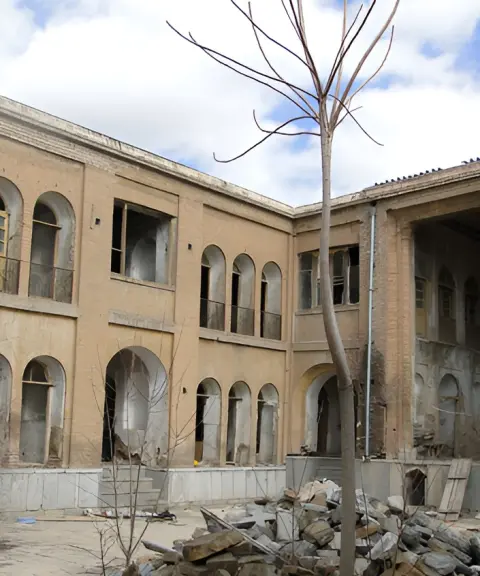
Malek al-Tojjar Mansion
Province Kurdistan
- Walking
A Showcase of Qajar Architectural Splendor in the Historic Heart of Sanandaj
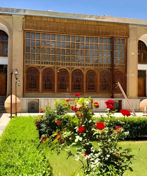
Salar Saeed Mansion
Province Kurdistan
- Walking
A magnificent showcase of Qajar architecture in the heart of Sanandaj
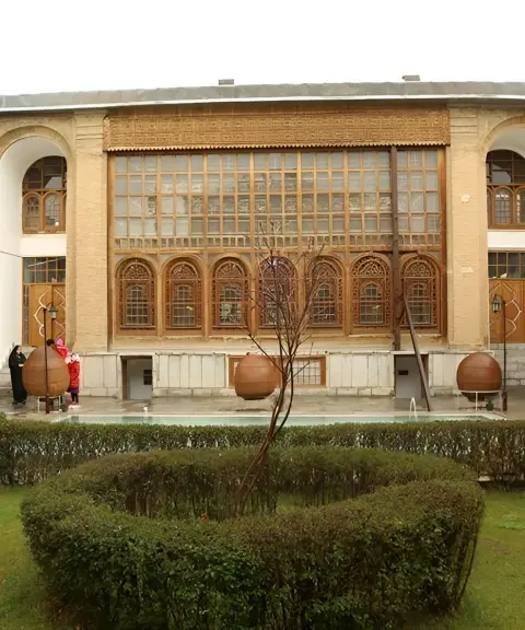
Mulla Lotfollah Sheikh al-Islam Mansion
Province Kurdistan
- Walking
A Gem of Historic Architecture in Sanandaj
Related tags:
Unfortunately, no comments have been registered.