
 River
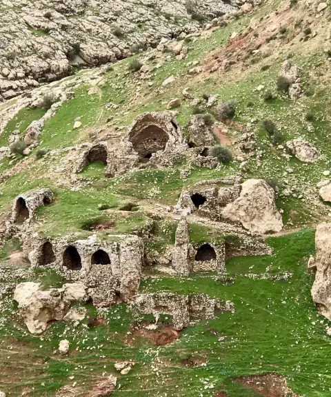
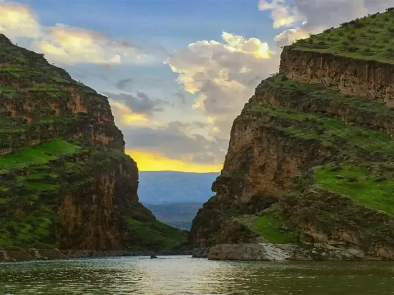
Seymareh River
One of the major tributaries of the Karkheh River
- River
- Lorestan, Kuhdasht
- Altitude 1,022 m
- Ability level Intermediate
Ability level:
Intermediate
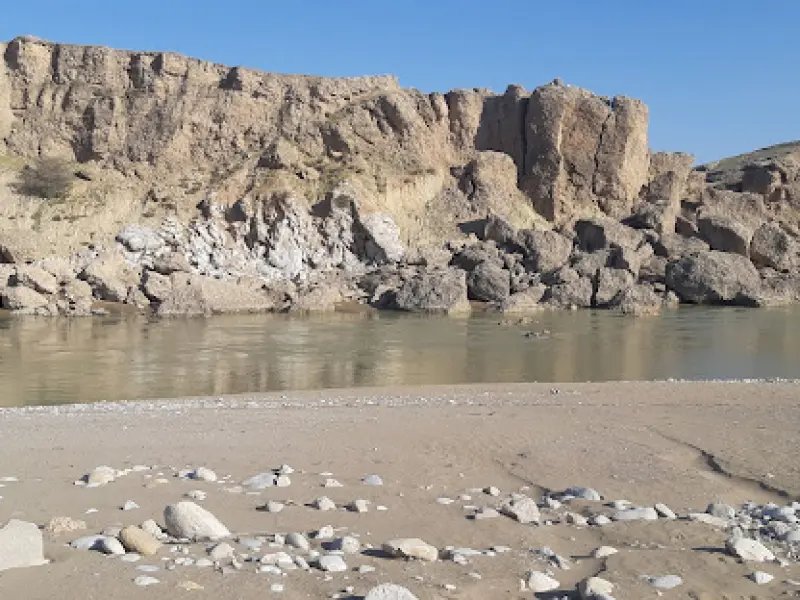
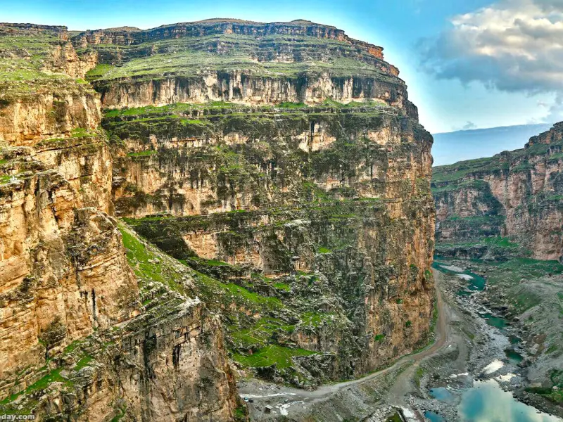
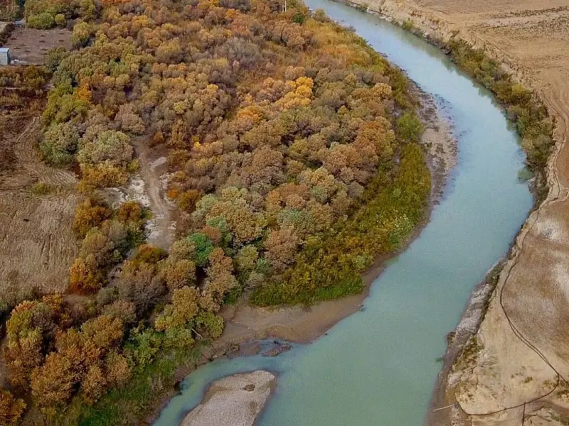
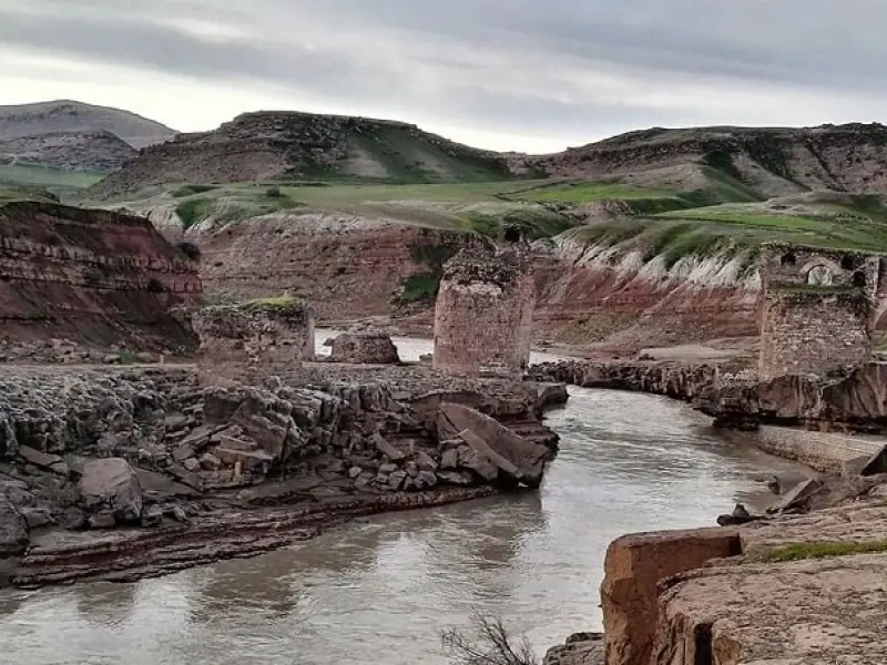
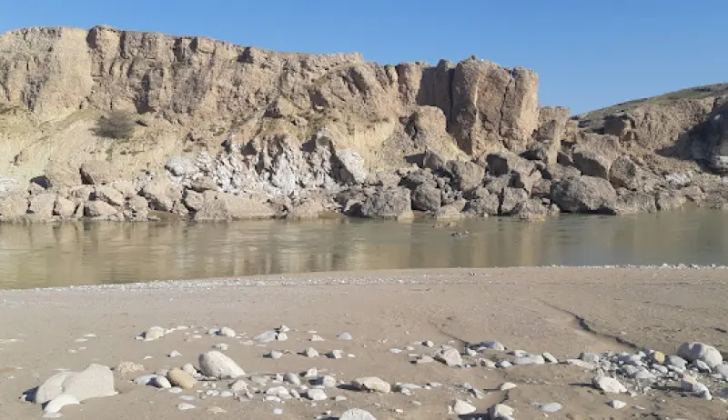
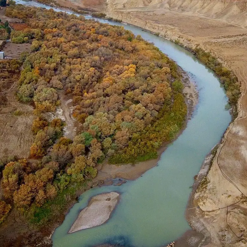
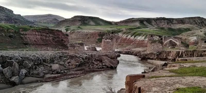
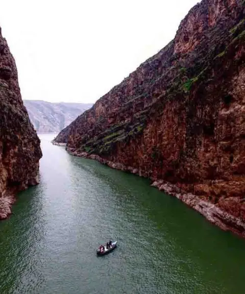
The Seymareh River is one of the rivers of western Iran and one of the attractions of Darreh Shahr. It is a major tributary of the Karkheh River. It rises in the snowy highlands of northwestern Iran and takes shape 25 kilometers southeast of Kermanshah, where the Qareh Su and Gamasiab rivers meet. After passing through the counties of Darreh Shahr and Shirvan Chardavol, it joins the Kashkan River at the Gavmishan Bridge to form the Karkheh River.
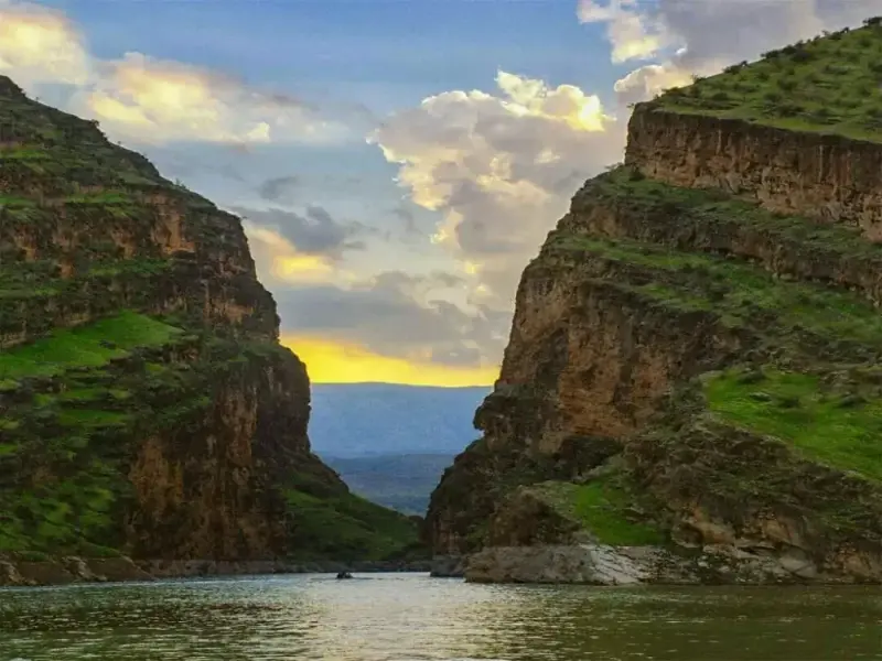
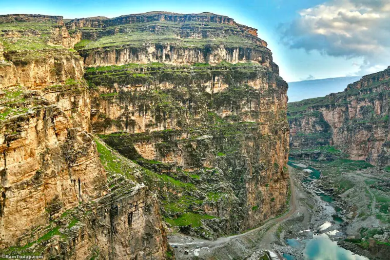
The Seymareh River is more than 700 kilometers long, and before it reaches Kermanshah, the water of the Siah Ab (or Qareh Su) River joins it. After passing Kermanshah, rivers such as the Halilan, Karand and Rudmahi merge with it before the Seymareh enters Lorestan Province. In Lorestan, the Seymareh continues its course through a deep, rocky bed alongside Kabir Kuh, and other rivers such as the Kashkan, Ghazal Rud, Zal, Harow and Khorramabad join it. Along this route a waterfall 43 meters high and 3 meters wide forms, which is considered one of the most attractive sights along the river. Dozens of other small and large rivers also join the Seymareh along the way, including Sarab Kalan, Chenareh, Ganjeh, Kalam and Sikan.
Part of the Seymareh's water is used for agriculture along its course, and the rest flows toward the Karkheh and eventually the Tigris. However, before reaching the Tigris, some of the Karkheh's water is absorbed by the marshes east of the Tigris, known as Hawizeh Marshes (Hur al-Azim). From all this we can see that the Seymareh River rises from the highest part of western Iran, the mountains of Hamadan, and runs down to the lowest and hottest part of southern Iran, the Khuzestan plain. The Seymareh is not a seasonal river, so water flows in it in all seasons of the year, but the volume varies greatly. If you are planning a trip to the Seymareh River, it is best to choose spring or summer so that you can fully enjoy both the greenery around the river and the cool air. The Seymareh River has never been, and will never be, a suitable place for swimming or water recreation. The water is muddy and, most importantly, the Seymareh is famous for its raging current and frequent floods. Swimming is very dangerous, both in the river itself and in the lake behind the dam.
Written by زهرا لنگری Last updated
Activities
What you can do here, and what it takes
-
Walking
کفش پیادهروی به همراه داشته باشید..
-
Mountaineering
تجهیزات لازم کوهنوردی را به همراه داشته باشید.
-
Rock Climbing
امکان صخرهنوردی در این منطقه وجود دارد.
Specifications
Introduction of the location and specifications of Seymareh River
Location:
Lorestan, Kuhdasht
Coordinates:
33.76195863, 47.15747115
Open in maps
Height above mean sea:
1022 meter
Floras:
Temperate Grasslands
Faunas:
Presence of Predatory Animals, Presence of Allergenic Insects, Presence of Herbivorous Animals
Transports:
Private car, Only with technical climbing equipment
Tourist Attractions in Lorestan
Attractions that are nearby

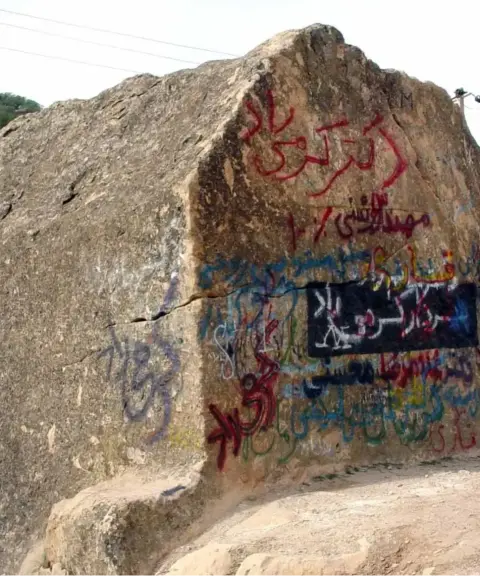

San Rostam Rock Tomb
Province Kermanshah
- Walking
A mysterious rock-cut tomb in the mountains of western Iran
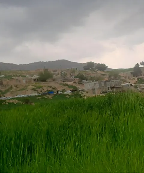
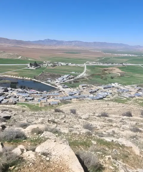
Qaleh Harsam Village
Province Kermanshah
- Walking
A blend of history, nature and culture in the heart of the Zagros

Sazbon Gorge
Province Ilam
- Swimming
- Canyoning
- Rowing
A gorge shaped like a musical instrument in the heart of the Zagros


Related tags:
Unfortunately, no comments have been registered.