
 River
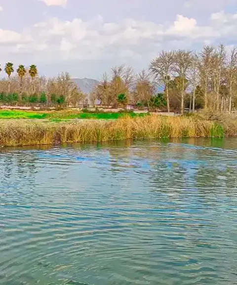
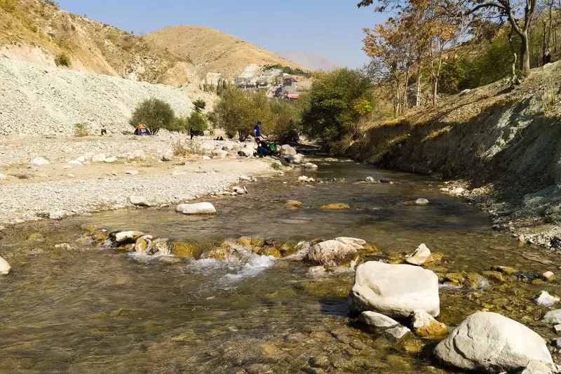
Jegiran River
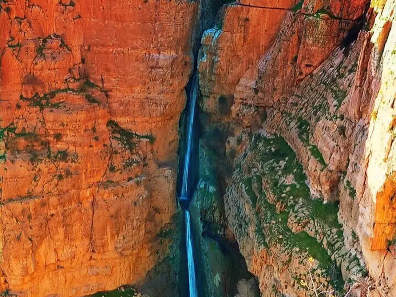
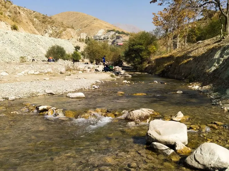
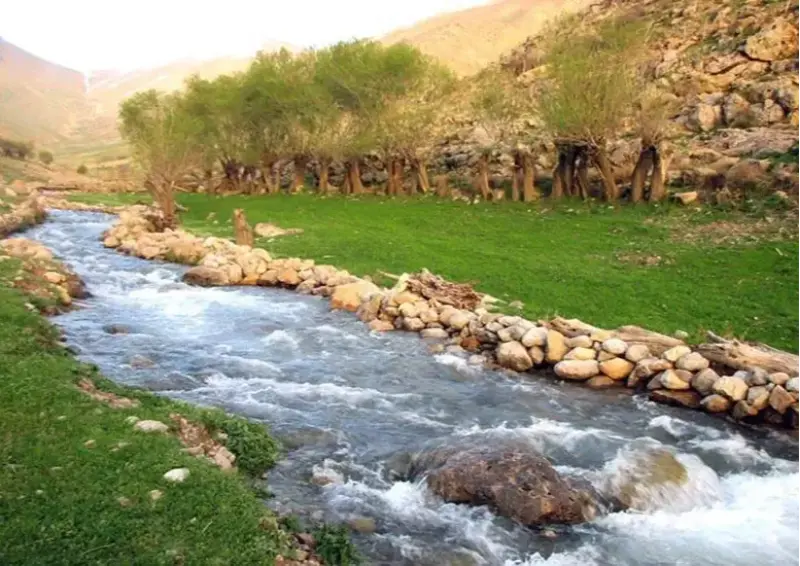
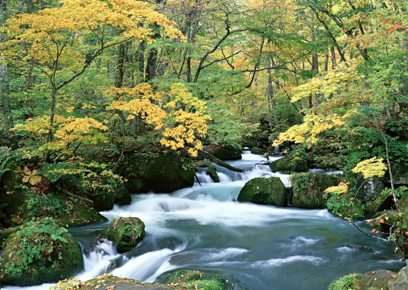
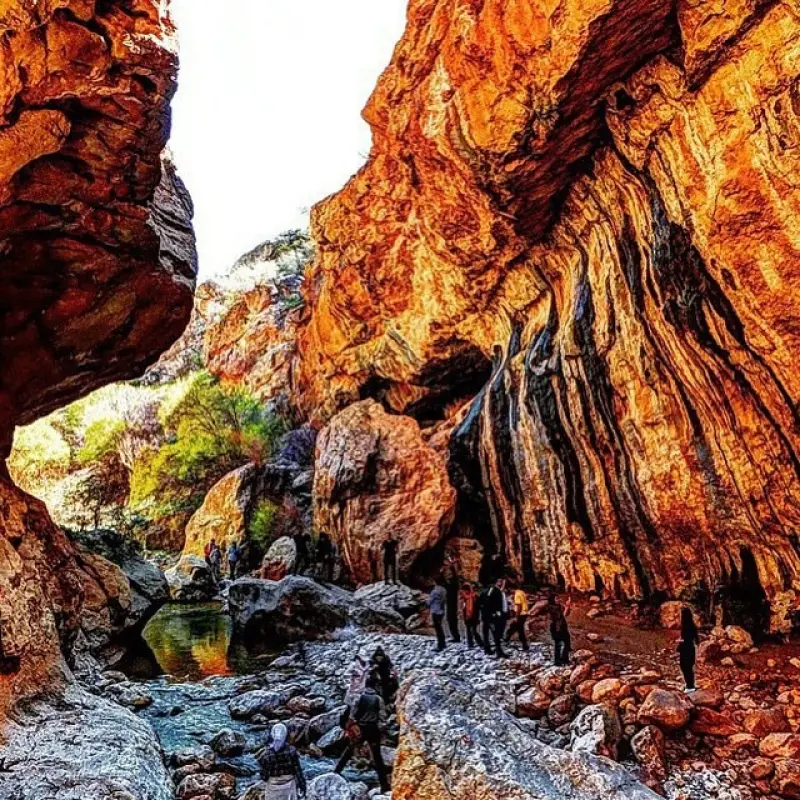
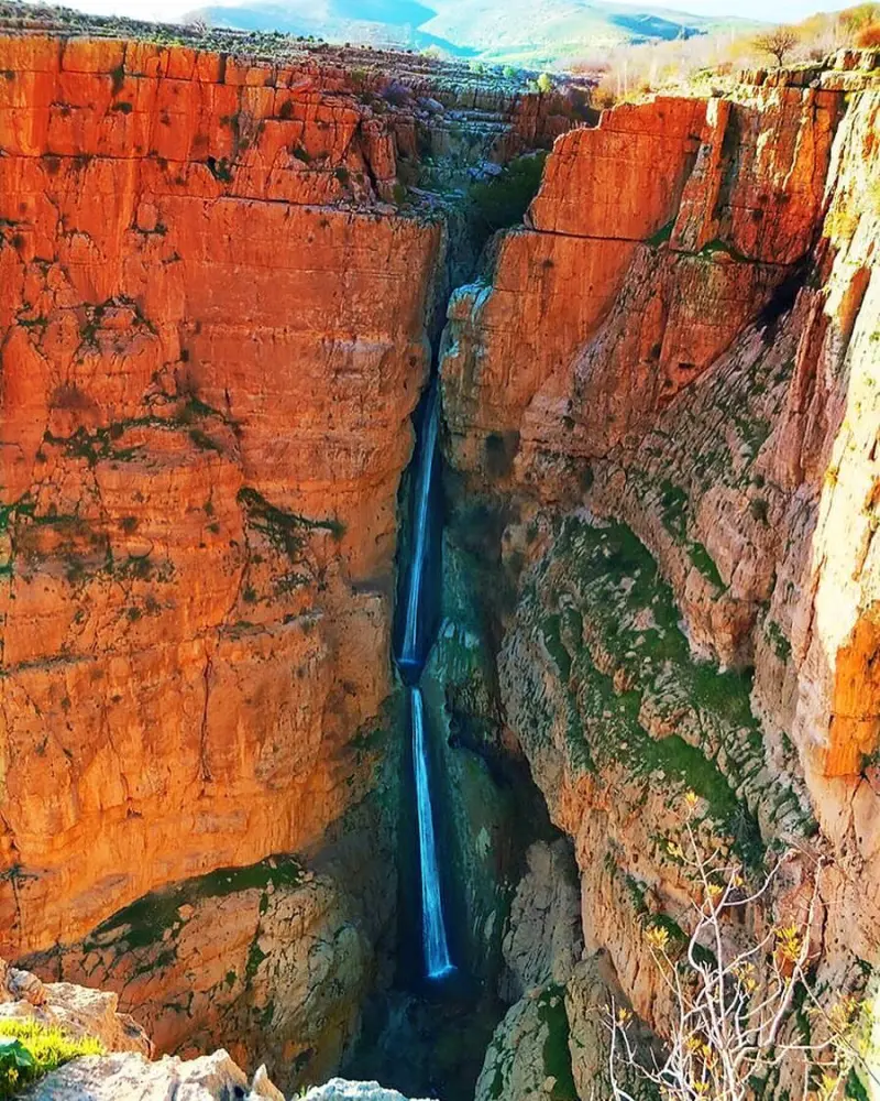
A river in the heart of the mountains of Kermanshah
- River
- Kermanshah, Sarpol-e Zahab
- Altitude 559 m
- Ability level Intermediate
Ability level:
Intermediate
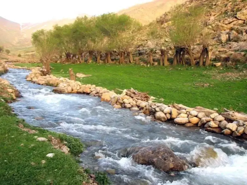
The Jegiran River flows through the county of Sarpol-e Zahab. The river is 67 kilometres long, and its source lies at an elevation of 1,500 metres. It rises on the western slopes of the Malacheyeh and Shahan mountains in Posht-e Tang Rural District, 24 kilometres northeast of Qasr-e Shirin, fed by several tributaries, the most important of which is called Ab-e Talan.
After irrigating the villages of Posht-e Tang Rural District, the river enters Zahab Rural District. There it first waters the villages of Tappeh Kelik, Papoli, Jaberi and Darakhan. After joining a small northern tributary, it turns south and irrigates the village of Hojrolan. It then merges with an eastern tributary that has passed through the villages of Naderi and Tang-e Hooman, and, under the name of the Qureh-tar River, bends toward the southwest.
It reaches the Iran–Iraq border 15 kilometres northeast of Qasr-e Shirin and forms a 24-kilometre stretch of the borderline. At a point 11 kilometres northwest of Qasr-e Shirin it leaves the border and enters Iraq, and it flows into the Tigris River west of the village of Sangar-e Zhoru.
Written by زهرا لنگری Last updated
Activities
What you can do here, and what it takes
-
Walking
کفش پیادهروی به همراه داشته باشید..
Specifications
Introduction of the location and specifications of Jegiran River
Location:
Kermanshah, Sarpol-e Zahab
Coordinates:
34.44360107, 45.83896279
Open in maps
Height above mean sea:
559 meter
Floras:
Temperate Grasslands
Faunas:
Presence of Predatory Animals, Presence of Allergenic Insects, Presence of Herbivorous Animals
Transports:
Private car
Tourist Attractions in Kermanshah
Attractions that are nearby

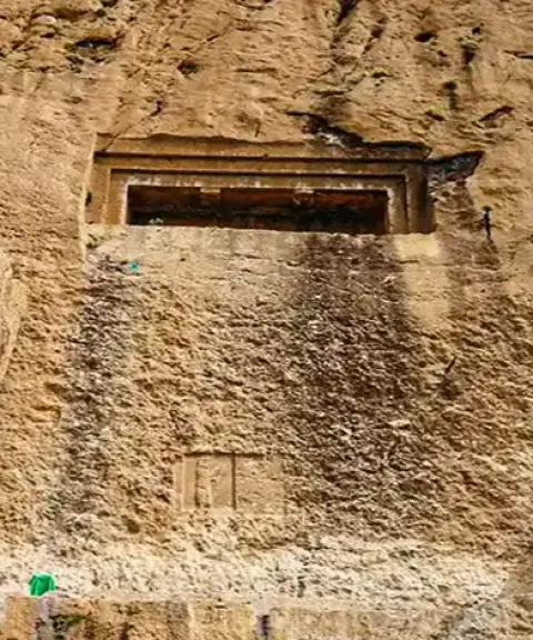

Dokkan-e Davud Rock-Cut Tomb
Province Kermanshah
- Walking
A historic tomb carved into the ancient rocks of Kermanshah
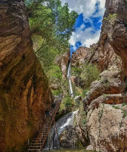

Piran Waterfall
Province Kermanshah
- Walking
- Rock Climbing
- Swimming
The tallest tiered waterfall in the Middle East
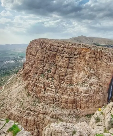

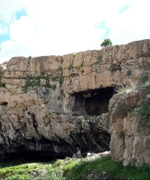
Dire Rock-Cut Tomb
Province Kermanshah
- Walking
A rock-cut tomb from the Median period in the mountains of Kermanshah
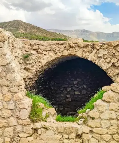
Related tags:
Unfortunately, no comments have been registered.