
 Mountain
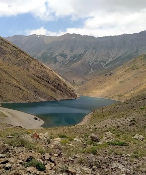
Dobarar Peak
The highest peak of a continuous mountain range
- Mountain
- Mazandaran, Amol
- Altitude 4,080 m
- Ability level Advanced
Ability level:
Advanced
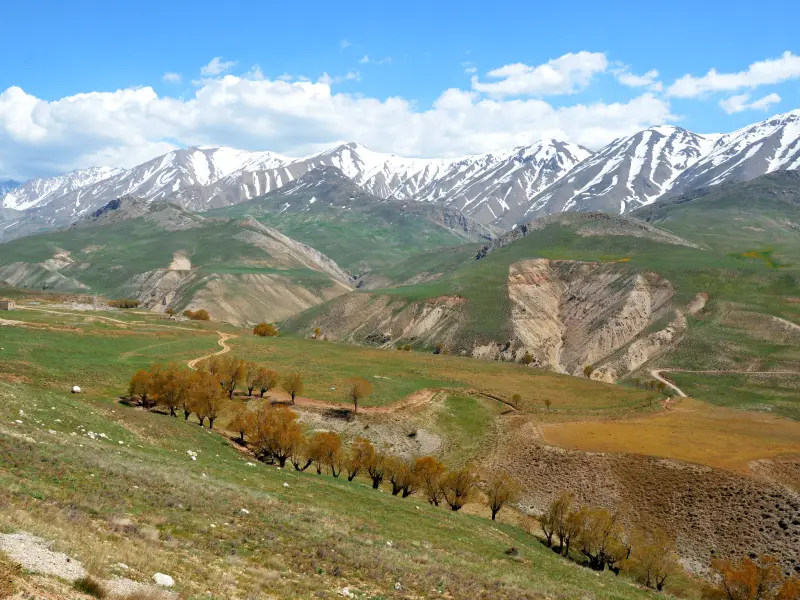
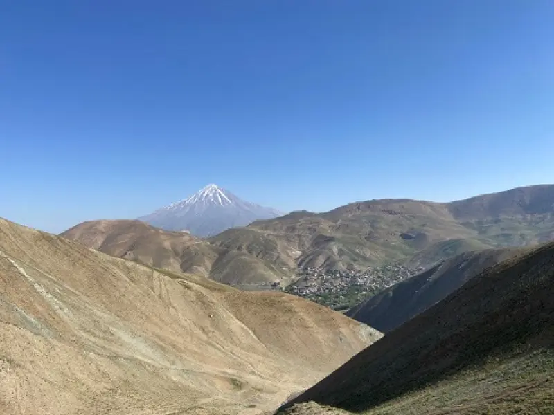
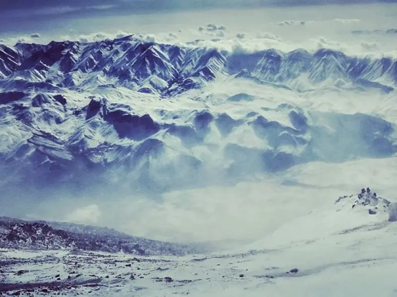
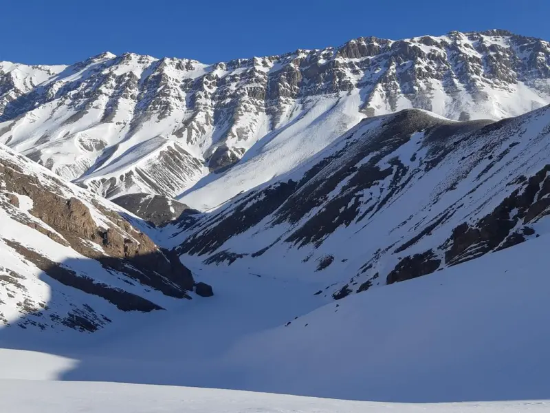
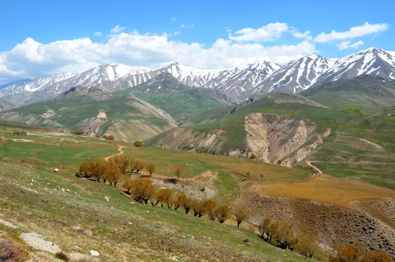
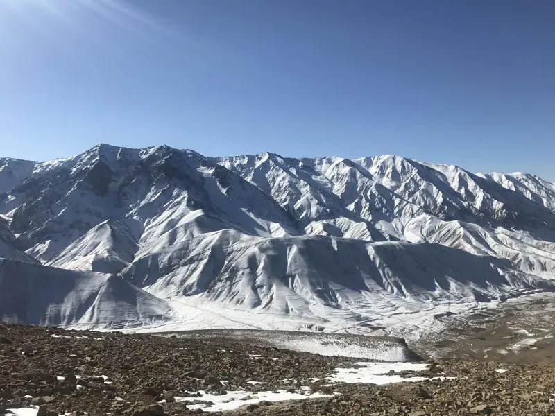
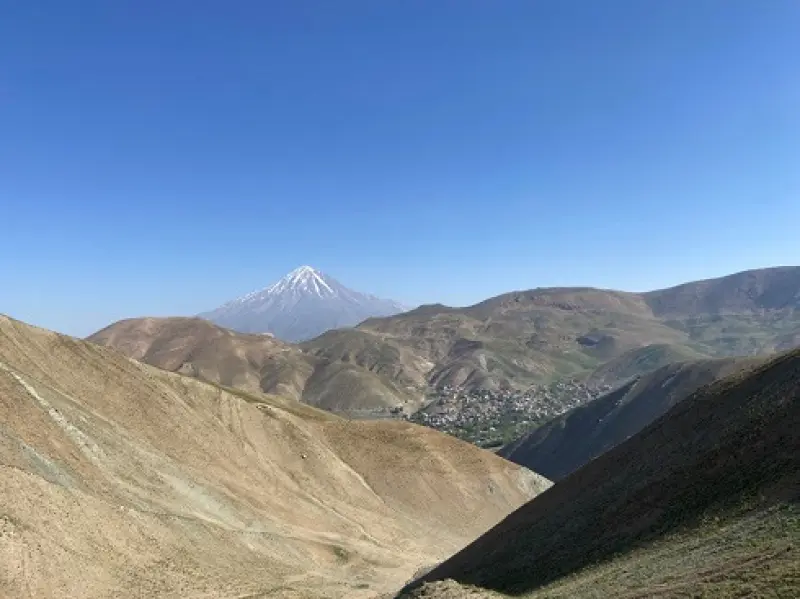
Dobarar Peak is the highest summit of a continuous mountain range known as Maz, Qaradagh, and also by the name of its highest peak, "Dobarar". This range is part of the southern wall of the Central Alborz and lies between the Namrud River to the east and the Haraz River to the west. The lofty, uniform ridgeline of Dobarar has 23 high peaks, 12 of which are over 4,000 metres in elevation. Dobarar Peak is located in Mazandaran Province. Its 95-kilometre ridgeline begins south of Pelur district on the Haraz Road and, passing over high summits such as Bazmchal, Changizchal, Angemar, Suzchal, Qarehchal, Parvaneh, Qiyaq Laka, Pahtepe and Ab Barik, joins Namrud on the Firuzkuh Road.
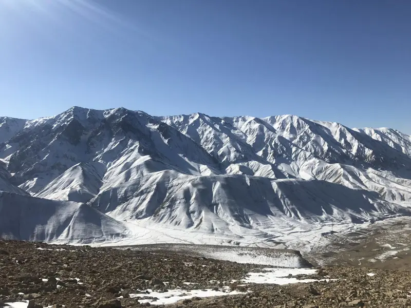
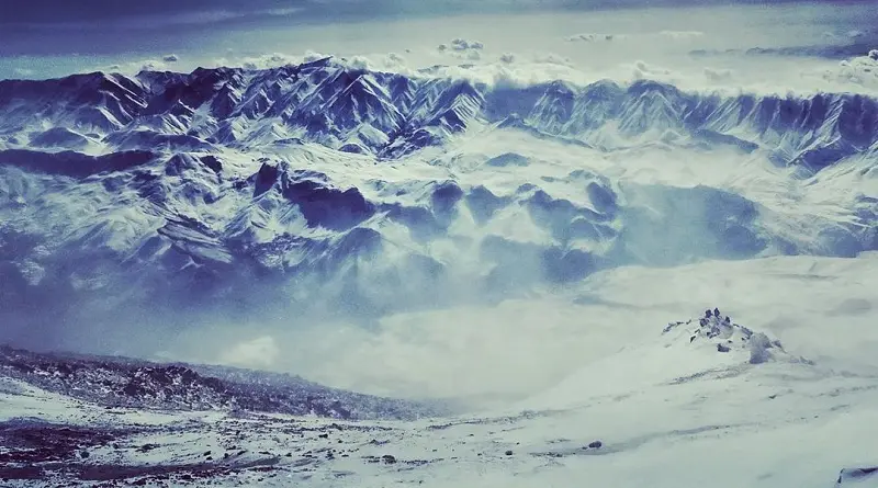
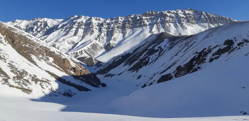
The Dobarar range and its peaks have a harsh and difficult winter. Heavy avalanches on its northern and southern faces are very frequent in winter, occur repeatedly, and continue into early spring. In addition, large snow cornices form along the edge of the ridgeline, which makes climbing even harder. Climbing these peaks requires sufficient experience, knowledge of the route, winter equipment and warm clothing. So when climbing, be sure not to forget suitable ice-climbing equipment and boots.
The best time to climb Dobarar Peak is the end of Tir (mid-to-late July). If you enjoy climbing in frost and snow, and using rock-climbing techniques, we recommend early Khordad (late May). As mentioned, the chance of avalanches and blizzards on this peak is very high, and they sometimes occur several times a year. Given these conditions, mountaineering groups and the leaders of climbing teams must keep the group safe from possible dangers by bringing safe equipment, taking weather conditions into account and checking the weather forecast.
Written by زهرا لنگری Last updated
Activities
What you can do here, and what it takes
-
Mountaineering
تجهیزات کوهنوردی همراه داشته باشید.
-
Walking
صعود به این قله دوبرار با سرعت معمولی دو ساعت و نیم طول میکشد ولی به علت ورزش باد ممکن است سه ساعته نیز صعود کنید.
Specifications
Introduction of the location and specifications of Dobarar Peak
Location:
Mazandaran, Amol
Coordinates:
35.76364702, 52.23878860
Open in maps
Height above mean sea:
4080 meter
Faunas:
Presence of Predatory Animals, Presence of Herbivorous Animals
Transports:
Only with technical climbing equipment
Tourist Attractions in Mazandaran
Attractions that are nearby

Tar Lake
Province Tehran
- Fishing
- Walking
- Mountaineering
- Rowing
- Swimming
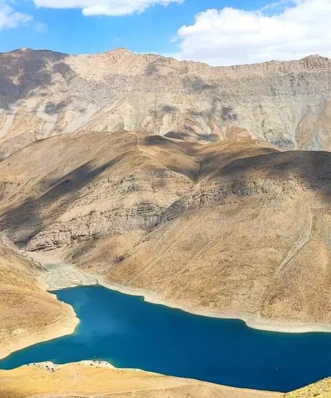
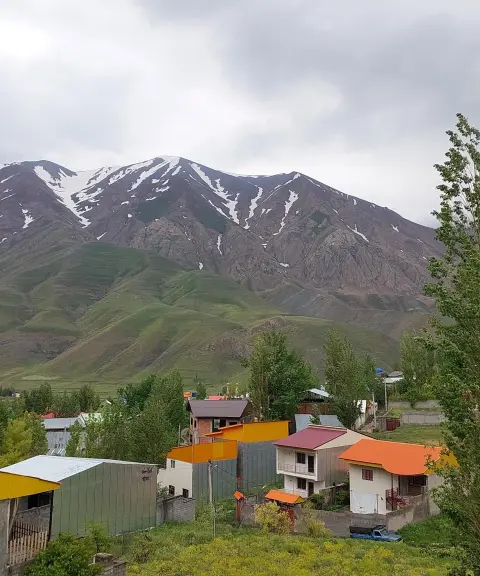
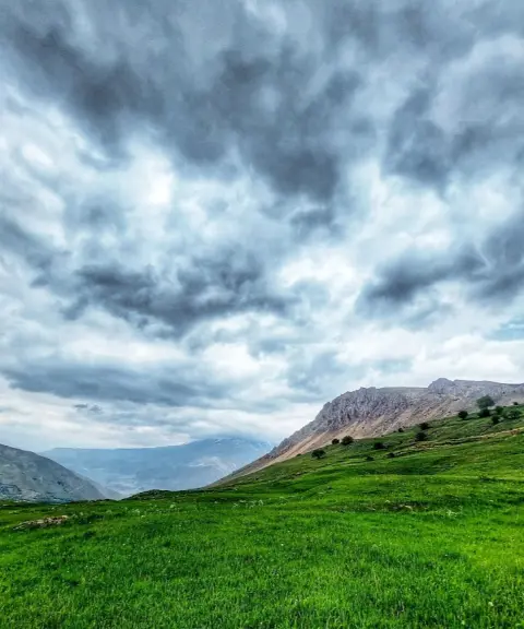
A lake in the heart of the Alborz peaks


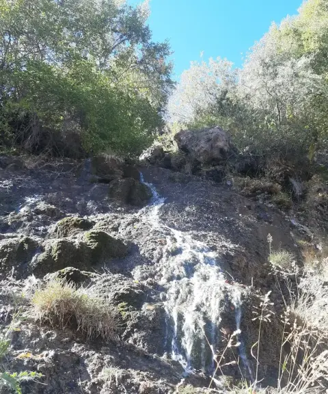

Jangalak Waterfall
Province Tehran
- Walking
A pure display of water and rock in the heart of the Gorobar Valley
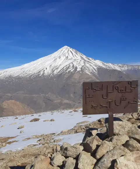
Gol Andam Peak
Province Mazandaran
- Mountaineering
- Walking
A southern view of Damavand and the unspoiled nature of the Alborz
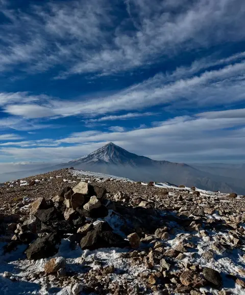
Helzom Peak
Province Mazandaran
- Mountaineering
- Walking
A high peak on the Pashureh ridgeline in the Central Alborz
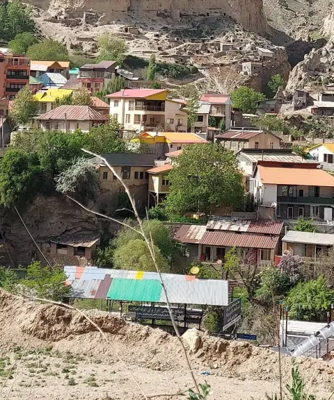
Ira Village
Province Mazandaran
- Walking
- Mountaineering
A cool highland summer pasture on the slopes of the Central Alborz
Related tags:
Unfortunately, no comments have been registered.