
 Attractions
Mehranjan Village
A lush village at the foot of Mount Ranj
- Attractions
- Fars, Nurabad
- Altitude 1,391 m
- Ability level Beginner
Ability level:
Beginner
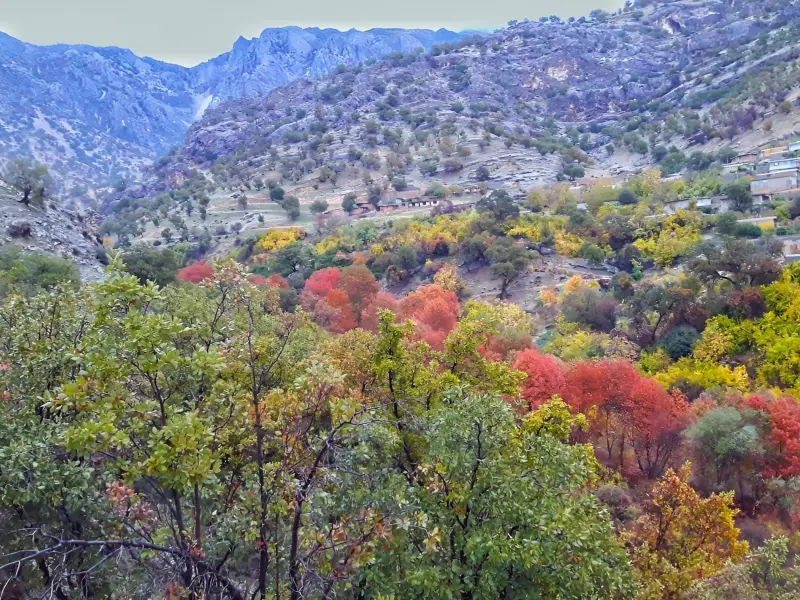
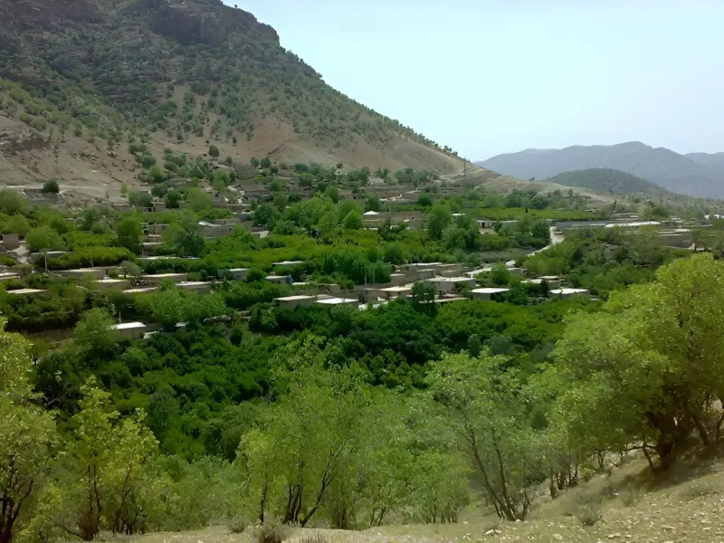
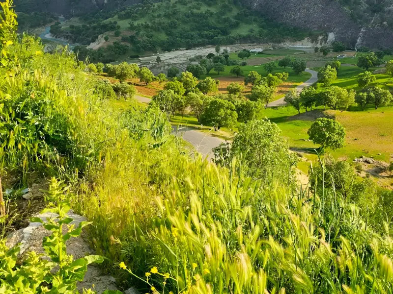
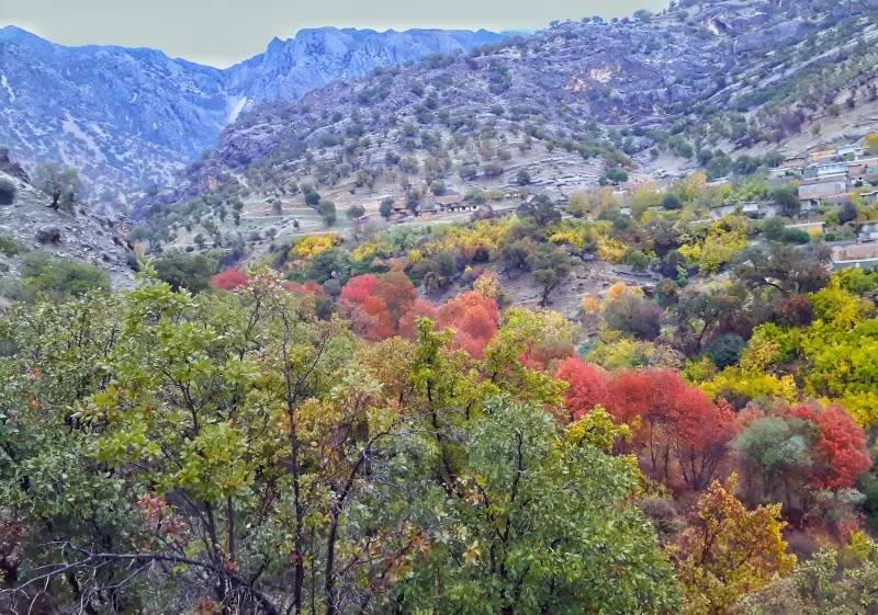
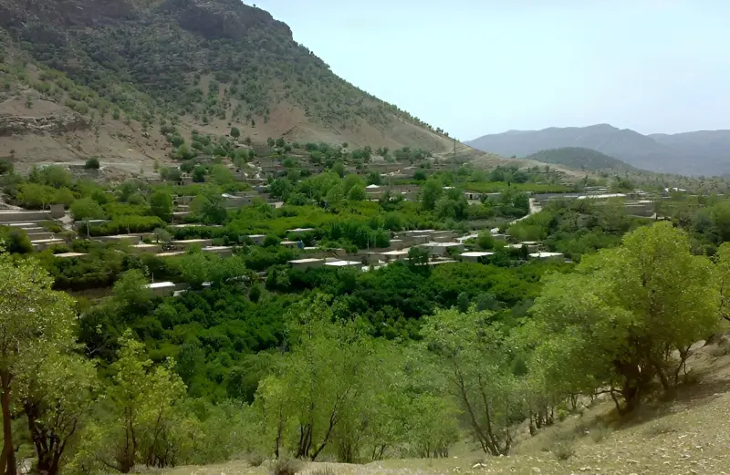
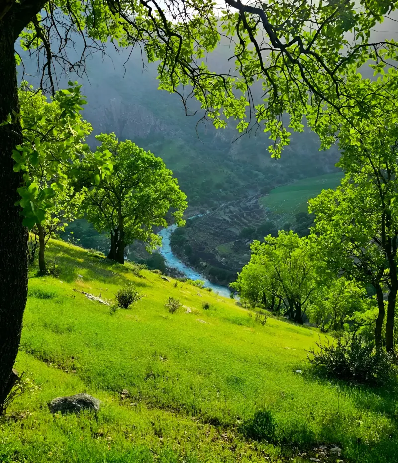
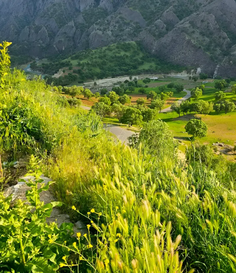
Mehranjan village, known in the local dialect as "Mehranjun", is one of the pleasant-climate villages of Mamasani County in Fars Province. It lies in Jowzar District, in Javid-e Mahuri Rural District. The village is located in the northwest of Mamasani County, about 45 kilometers from the city of Nurabad, and has developed on the slopes of Mount Ranj and in the Tang-e Lalleh area. Its foothill setting, abundant springs, river, extensive orchards and varied vegetation give Mehranjan a look quite different from many of the hotter areas around Nurabad. The mild mountain climate, lush trees and flowing water in the surrounding countryside are among the main reasons Mehranjan has become a good destination for nature tourism and rural outings. The village is also culturally notable: the local people speak the Mamasani Lori dialect, and farming and animal husbandry are among its important traditional activities. Mehranjan also has a long history, and its name has appeared in different periods in forms such as "Kura", "Mehrangan" and "Mehrangun".
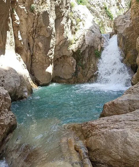
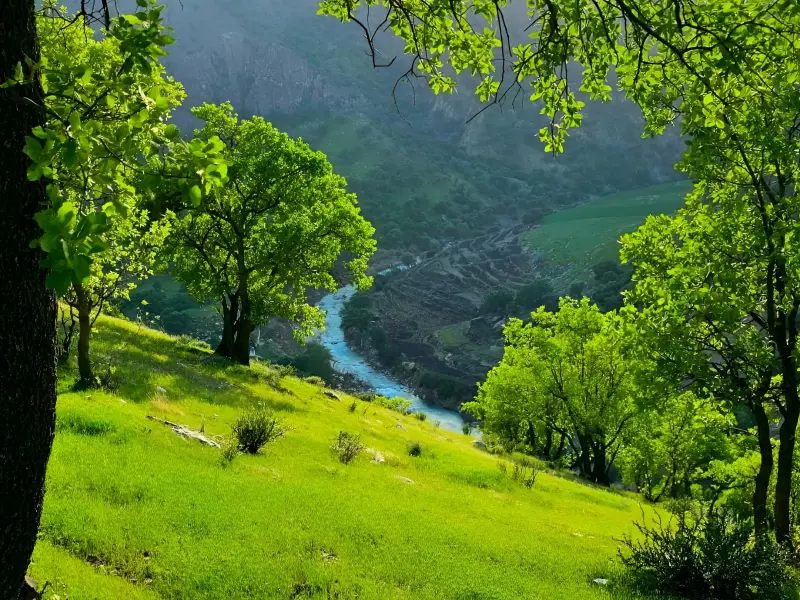
The main attraction of Mehranjan is the natural setting around the village, which includes abundant springs, a river, fruit orchards, oak forests, waterfalls, gorges and mountain heights. The many springs in the northern part of the village have helped create large orchards and, together with one of the branches of the Fahlian River, form lush landscapes in the area. Natural attractions around Mehranjan include places such as the oak forest, Tal-e Dehman, Tal-e Jogha, Tang-e Sebang, Tang-e Chandardun, the Mehranjan summer pastures and the rice paddies of the region. Orchards of pomegranate, grape, walnut, fig, pear, apple, peach and other crops are also part of the village's natural scenery and its livelihood. The surrounding mountain slopes offer fine views of the Zagros landscape, and the presence of oak trees and other native species adds to the area's ecological value. The planting of oak seedlings in the natural area of the Imamzadeh Bibi Shirin, south of Mehranjan next to Mount Mast, also shows the importance of tree cover in the region. Overall, rather than being a single attraction, Mehranjan is a rural nature-tourism destination with a collection of natural landscapes, orchards, watercourses, heights and nearby recreation areas.
Mehranjan is reached via Nurabad Mamasani. To get to the village, after crossing the Fahlian Bridge on the road to Nurabad, turn onto the side road on the left and continue for about 45 kilometers; along the way you will pass the village of Pol-e Mured and its spring. Compared with many rural routes, the access road to the village is passable by car, although before heading to the gorges, waterfalls and surrounding mountain areas you should check the route conditions and the state of the minor roads. The best time to visit Mehranjan is spring and early autumn. In spring the springs, streams and vegetation look their best and the weather is better suited to walking and exploring, while early autumn, as the summer heat eases, is also a good time for nature trips on the slopes and around the village. When visiting the nature of Mehranjan, avoid making noise, lighting fires in sensitive spots, damaging vegetation and picking plants indiscriminately; take your rubbish out with you, and do not enter orchards or farmland without permission. For trekking through gorges and remote mountain areas, it is advisable to carry water, suitable footwear and essential equipment, and to keep to well-known routes.
Written by زهرا لنگری Last updated
Activities
What you can do here, and what it takes
-
Walking
مسیرهای روستایی و بخشهای طبیعی اطراف مهرنجان برای پیادهروی تفریحی و گشتوگذار در میان چشماندازهای سرسبز مناسب هستند.
-
Mountaineering
دامنههای کوه رنج و ارتفاعات پیرامون مهرنجان برای کوهپیمایی مناسب هستند.
Specifications
Introduction of the location and specifications of Mehranjan Village
Location:
Fars, Nurabad
Coordinates:
30.22901839, 51.71099436
Open in maps
Height above mean sea:
1391 meter
Floras:
Zagros Broadleaf Forests
Faunas:
Presence of Predatory Animals, Presence of Allergenic Insects, Presence of Herbivorous Animals
Transports:
Private car, Minibus, Bus
Tourist Attractions in Nurabad
Attractions that are nearby


Tang-e Tizab
Province Fars
- Mountaineering
- Walking
- Swimming
- Rock Climbing
Sepidan's Paradise on Earth


Barm-e Firuz Lake
Province Fars
- Walking
- Rowing
- Mountaineering
A Turquoise Jewel in the Heart of Ardakan

Related tags:
Unfortunately, no comments have been registered.