
 River
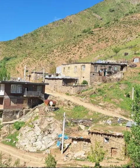

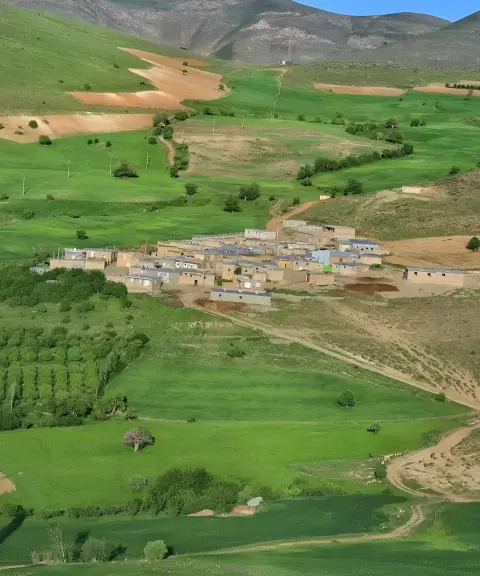
Haftash Village
Province Kurdistan
- Walking
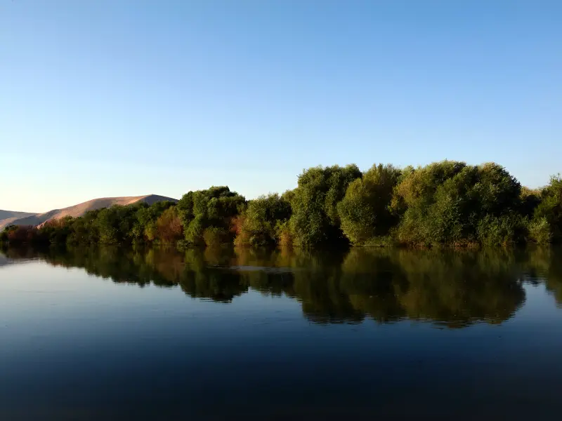
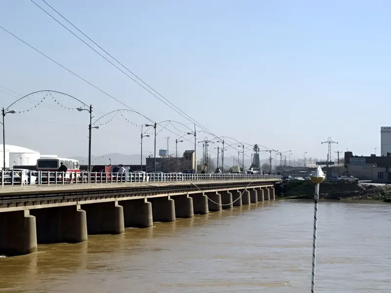
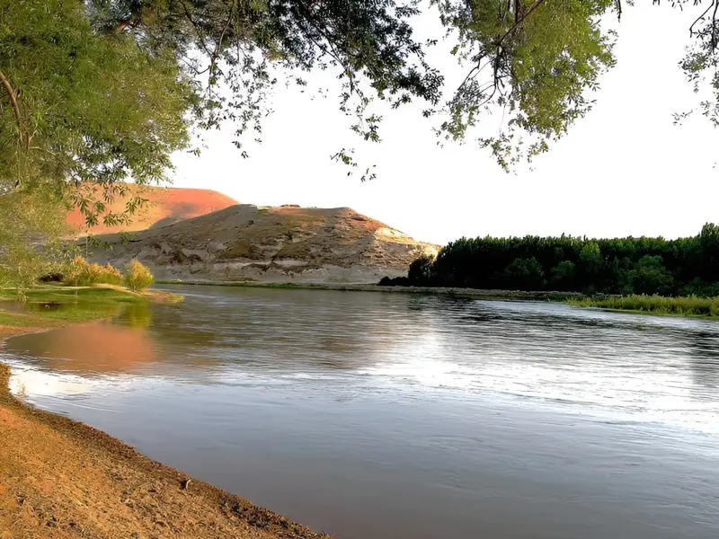
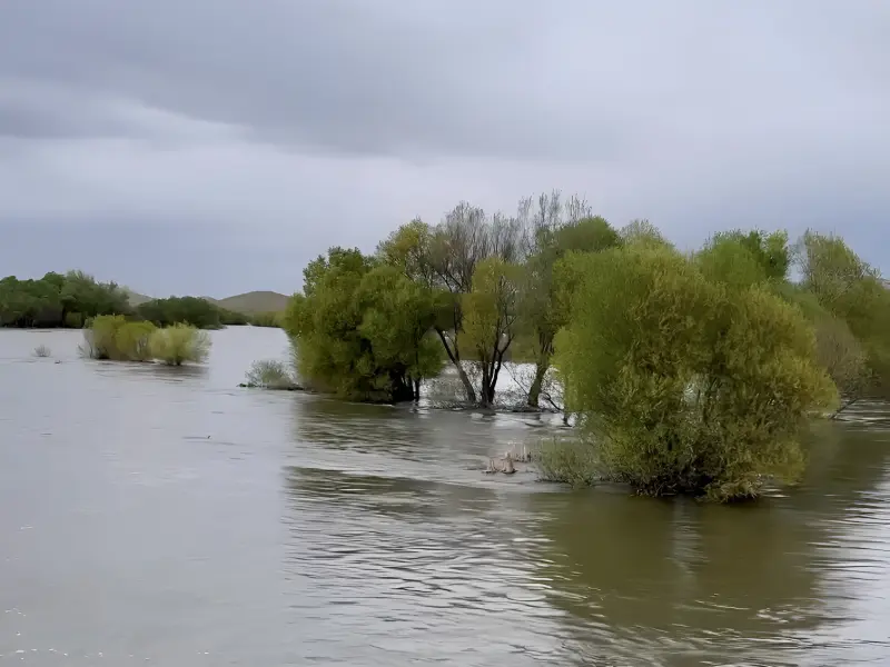
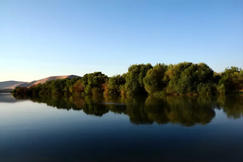
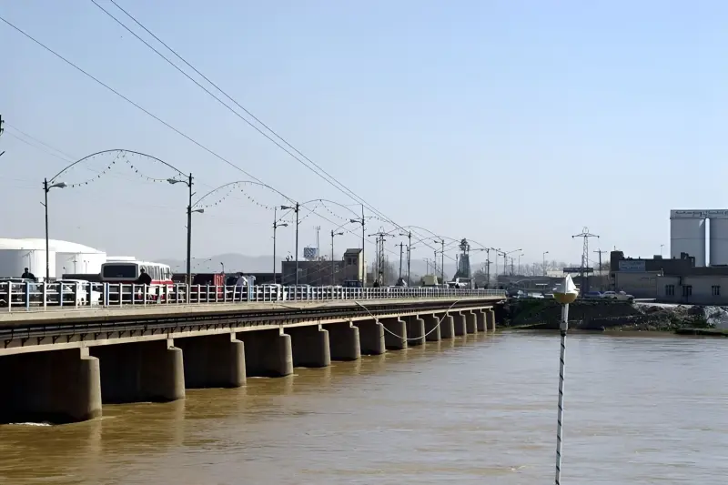
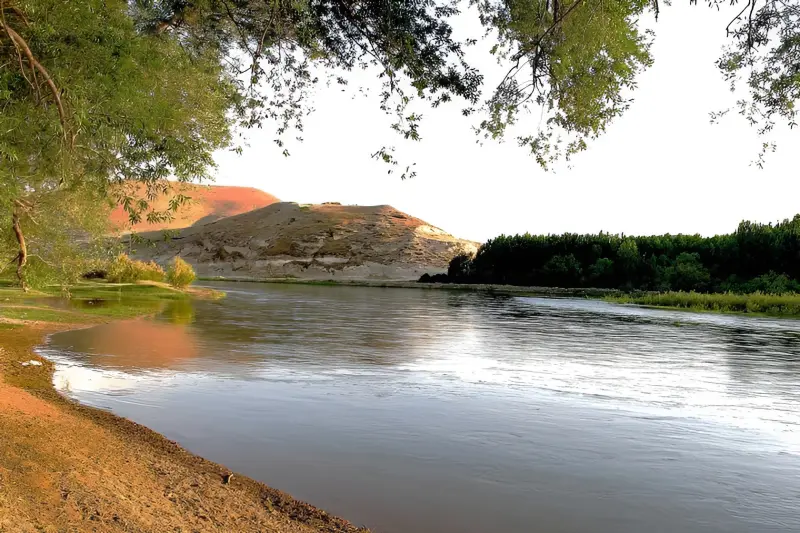
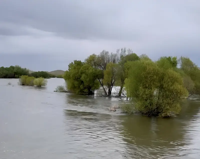
The Zarrineh Rud is one of the most important and water-rich rivers in northwest Iran. It flows through the southern basin of Lake Urmia and, at about 302 kilometres long, is one of the region's most prominent and influential rivers. It rises in the Chehel Cheshmeh mountains in Kurdistan Province and the border areas between Kurdistan and West Azerbaijan. After passing through major towns and plains such as Saqqez, Shahin Dezh and Miandoab, it finally empties into Lake Urmia, forming a wide delta. Its geographic position has given the river a key role in the formation of settlements, the development of agriculture and the stability of the region's ecosystem, and it is recognised as one of the most important water sources in western Iran.
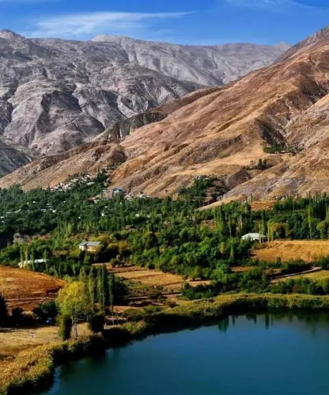
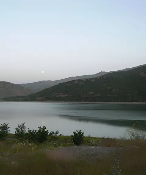
Along its long course, the Zarrineh Rud runs through mountains, valleys and fertile plains. It receives water from numerous seasonal and permanent tributaries, such as the Khorkhoreh, the Saruq and the Qoureh Chay, and becomes one of the region's most water-rich rivers. Along its banks lie varied landscapes of mountain scenery, orchards, farmland and aquatic habitats, which support considerable biodiversity. Dams such as the Shahid Kazemi (Zarrineh Rud) Dam and the Norouzlu Dam add to the river's importance. Besides managing water resources, they have created attractive scenery that combines water, mountains and plains, especially striking around Shahin Dezh and Miandoab.
The riverbanks of the Zarrineh Rud can be reached via the towns of Saqqez, Shahin Dezh and Miandoab, and in many places the routes around the river are suitable for sightseeing and nature stops. The best time to visit is spring and early summer, when the water volume is at its highest and the surrounding countryside is at its greenest. Autumn also offers a different view, with the warm colours of the trees and orchards along the river. When visiting, it is very important to follow responsible nature-travel principles: do not leave litter, protect the river's banks and respect the surrounding farmland, because in addition to its tourism value, the river is one of the region's vital sources of water and agriculture.
Written by زهرا لنگری Last updated
What you can do here, and what it takes
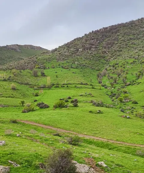
مسیرهای طولانی حاشیه زرینهرود برای پیادهروی و گشتوگذار در طبیعت بسیار مناسب هستند.
در بخشهای آرام و کمعمق حاشیه رودخانه امکان ماهیگیری تفریحی در فصول مناسب وجود دارد.
Province Kurdistan
Province Kurdistan
Province Kurdistan


Unfortunately, no comments have been registered.