
 Historic Castle
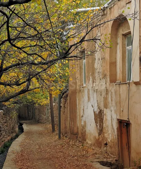

Shahmirzad
Province Semnan
- Cycling
- Mountaineering
- Walking
- Skiing
The legendary fortress of the Ispahbads of Tabaristan, high above the Shahmirzad heights
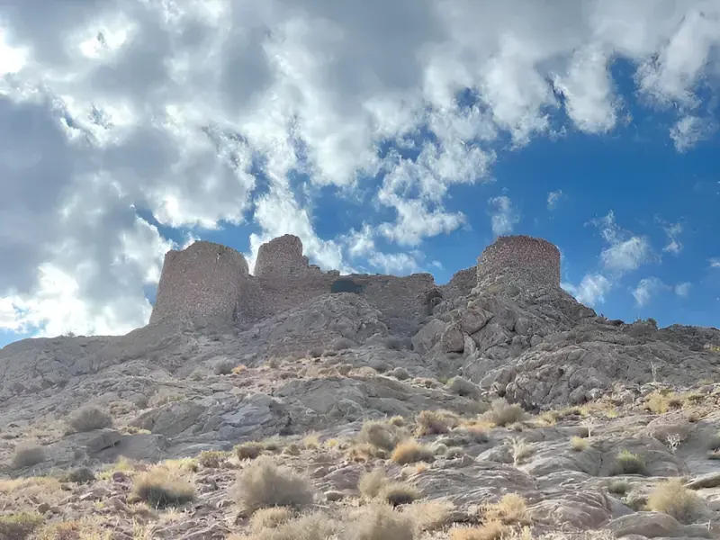
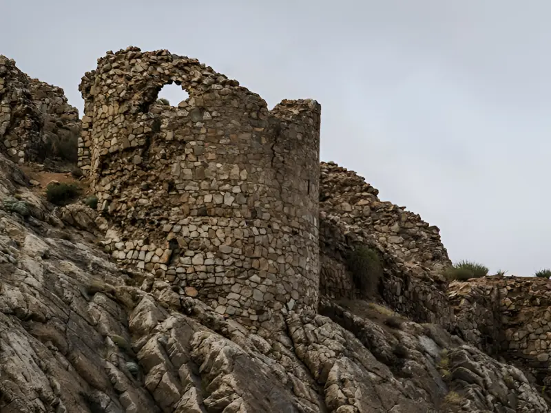
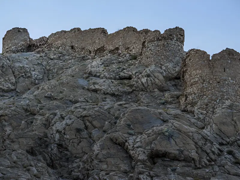
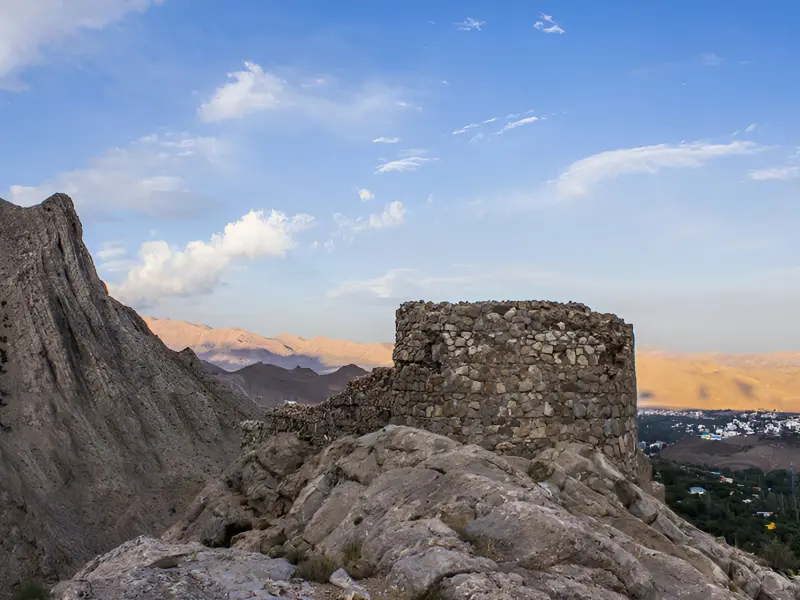
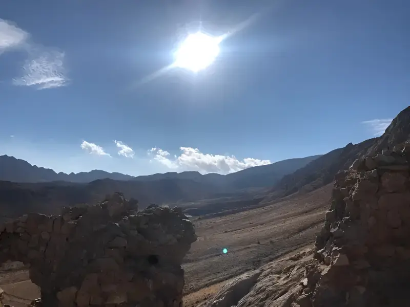
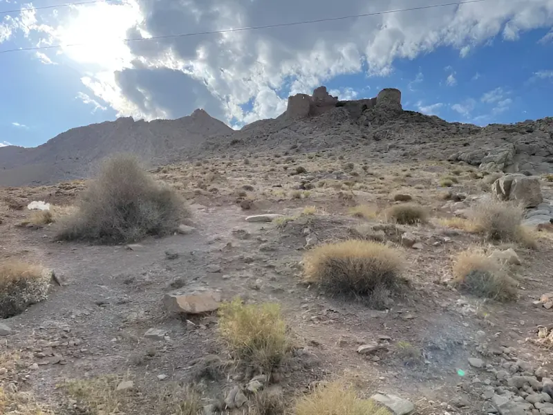
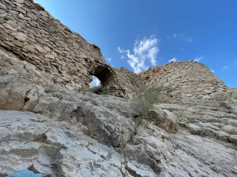
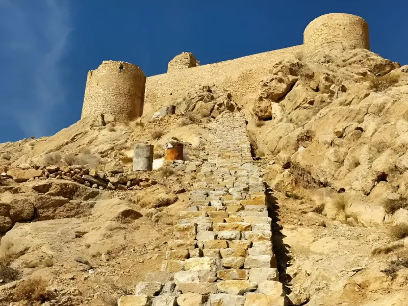
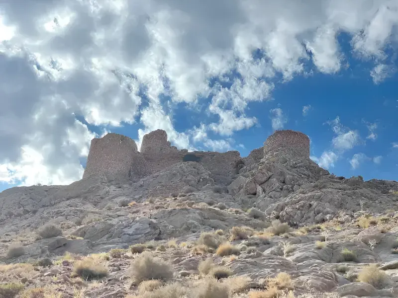
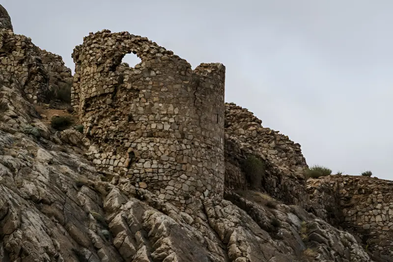
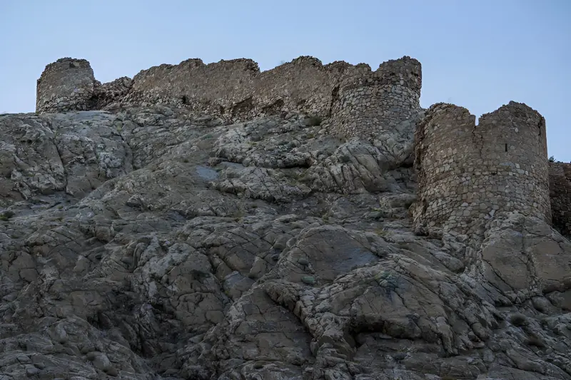
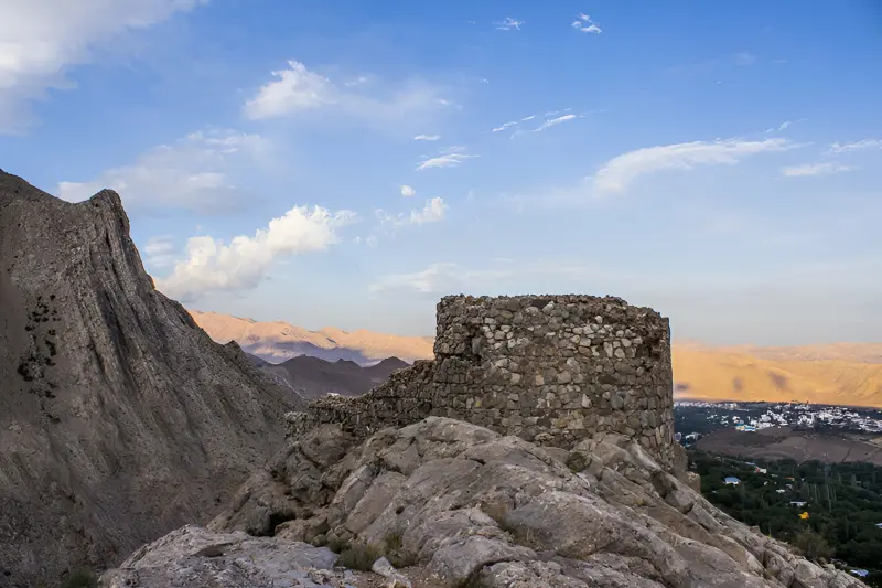
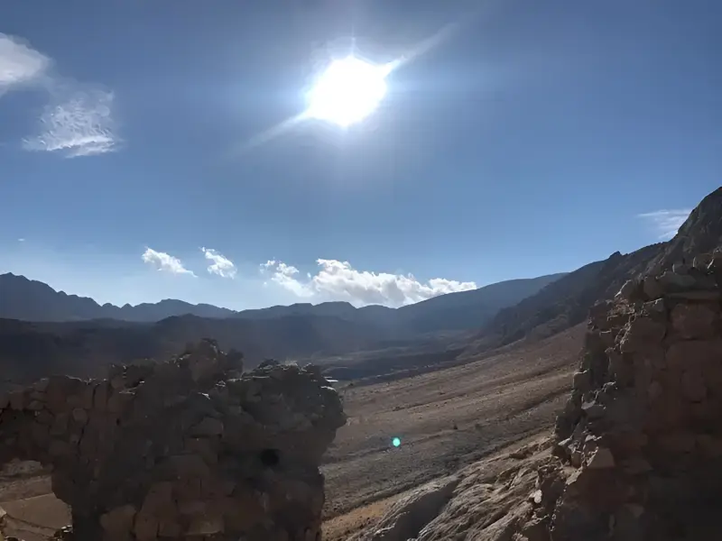
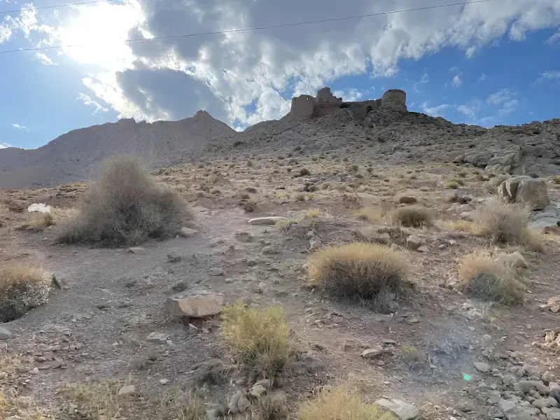
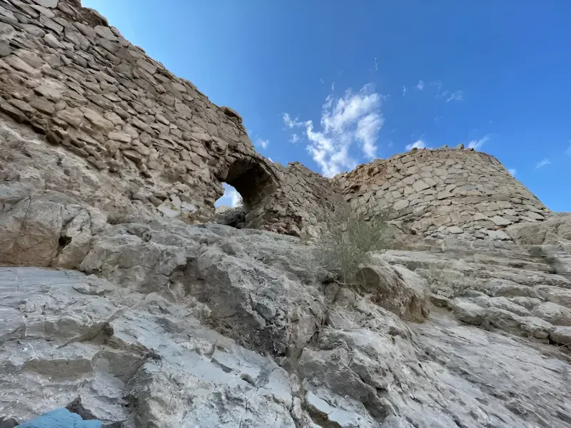
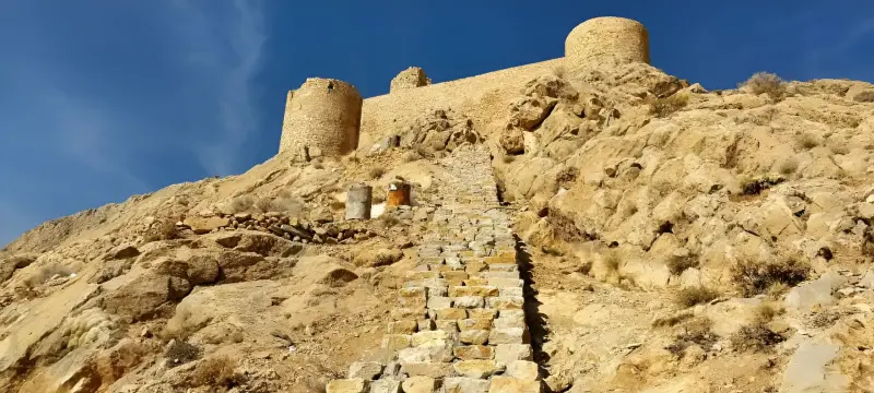
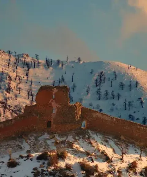
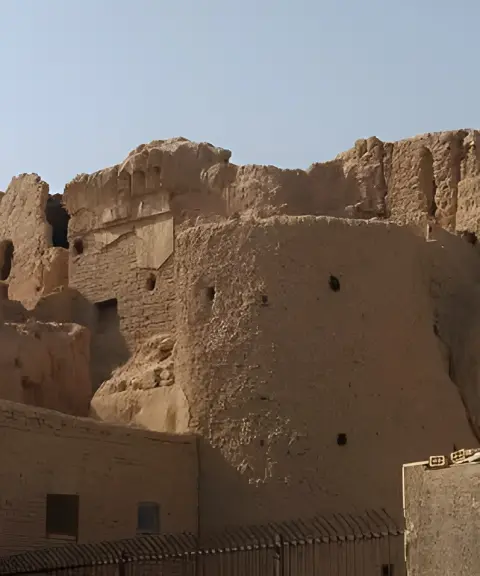
Shir Qaleh is one of the most important historical monuments in Mehdishahr County, Semnan Province. It lies northwest of the city of Shahmirzad, on top of a mountain overlooking the surrounding plains and highlands. The fortress dates back to the Parthian and Sassanid periods. It remained in use in the Islamic era and was known as one of the strongholds of the Ispahbads of Tabaristan. Its strategic position between two mountain ranges, with full command of the surrounding routes, shows its military importance throughout history. Shir Qaleh was registered on Iran's National Heritage list on 5 Azar 1380 (Solar Hijri) under number 4427, and is now regarded as one of the most prominent historical attractions of the Qumis region.
The architecture of Shir Qaleh follows the natural contours of the mountain, and its plan is an irregular polygon. The fortress has seven defensive and supporting towers, which differ in size and height because of the uneven mountain surface. The main building materials are stone, sarooj (traditional waterproof mortar), lime, ash, wind-blown sand, mud and local rubble, which give the structure remarkable strength. Remains of the walls, towers and ramparts are still visible, and the main entrance was on the southern side. According to historical documents, the fortress was also used by the Ismailis in the 5th and 6th centuries AH, and there are accounts of an underground tunnel between the fortress and the springs below to supply water. Local legends also describe Shir Qaleh as a mysterious, enchanted place, which adds to its appeal.
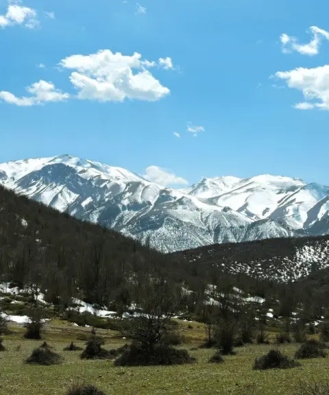
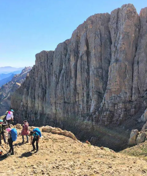
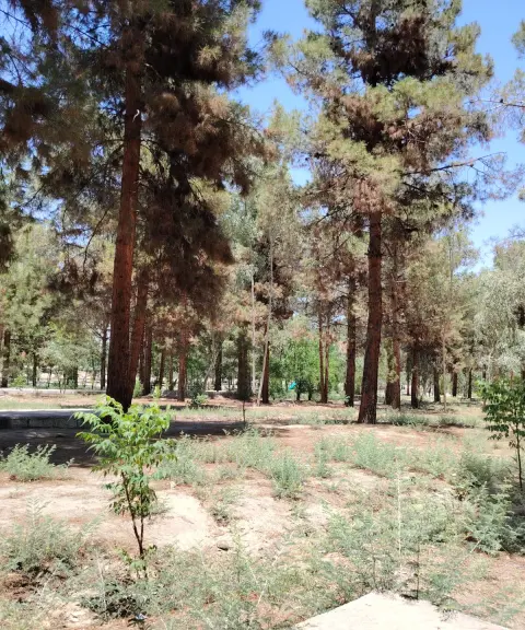
To reach Shir Qaleh, first travel to the city of Shahmirzad in Mehdishahr County. The route to the fortress starts on the north side of the city, and after about 30 minutes of hiking through the mountainous, wooded landscape you reach the remains of this historical fortress. The ascent is relatively easy and offers visitors beautiful views of Shahmirzad and the surrounding heights. The best time to visit is spring, summer and early autumn, when Shahmirzad's cool, pleasant weather makes the hike comfortable. While visiting, keeping the area clean, avoiding any damage to the historical remains and following responsible nature-tourism practices all play an important part in protecting this valuable historical site.
Written by ستایش عرب Last updated
What you can do here, and what it takes
مسیرهای اطراف قلعه محیط مناسبی برای گشتوگذار در طبیعت کوهستانی منطقه هستند.
مسیر دسترسی به شیرقلعه با حدود ۳۰ دقیقه پیمایش، فرصت مناسبی برای کوهپیمایی سبک در طبیعت شهمیرزاد فراهم میکند.
Province Semnan
Province Semnan
Province Semnan


Unfortunately, no comments have been registered.