
 Waterfalls
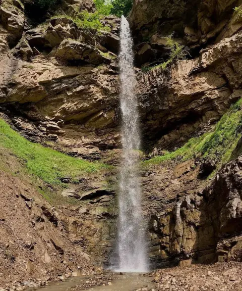
Yakhar Waterfall
Province Mazandaran
- Walking
A hidden waterfall in the heart of the Lafur forests
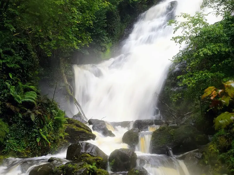
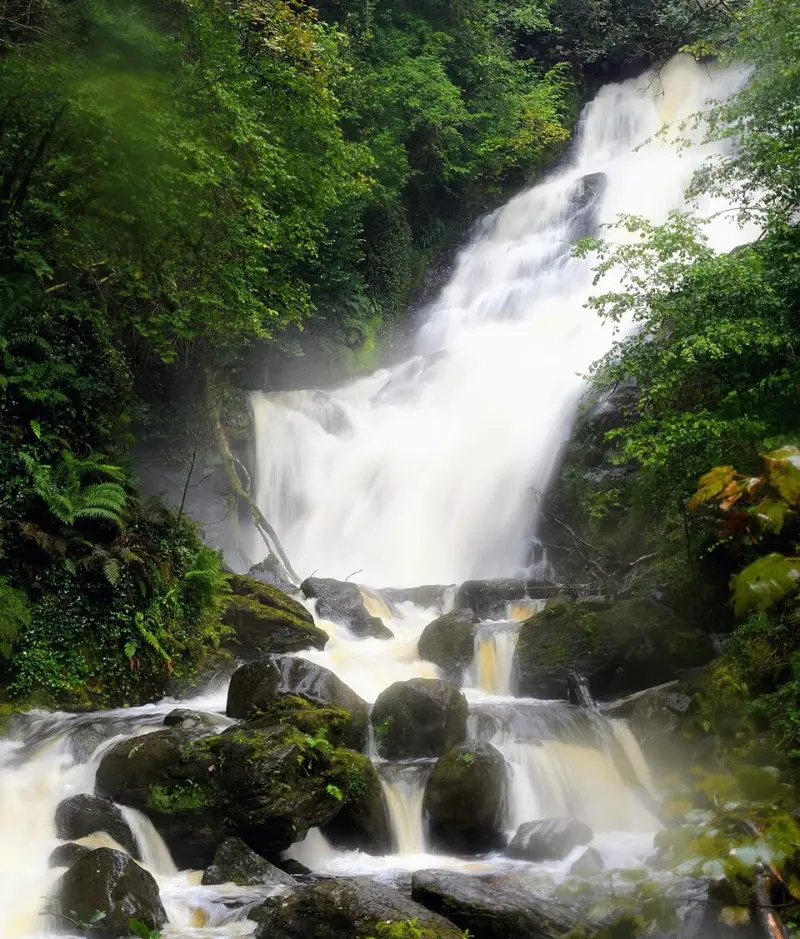
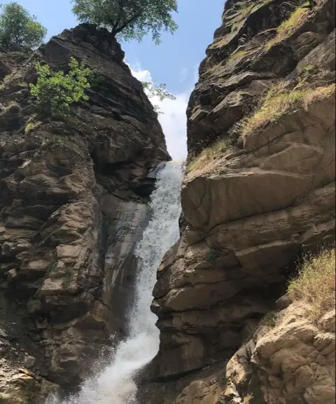
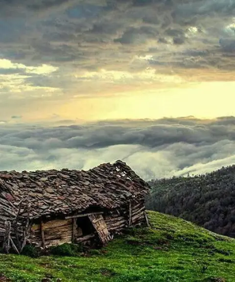
Ketu Waterfall is one of the pristine and lesser-known waterfalls of Mazandaran Province, located in Babol, within the Lafur forest area. It lies near the village of Haji Sheikh Musa, next to the famous Sheikh Musa Waterfall, and has formed in a completely forested, mountainous landscape. Its location amid the Hyrcanian forests gives it a very humid, lush and untouched environment, and it is known as one of the special destinations for experienced nature trekkers in this region.
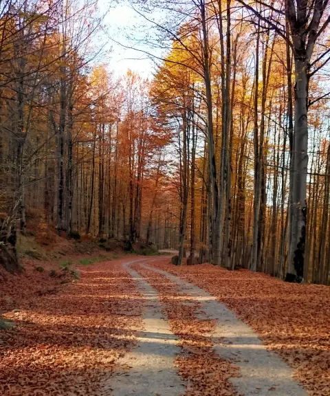
The route to Ketu Waterfall is long, technical and challenging, and takes about 7 hours to complete. It passes through dense forest, natural slopes, muddy trails and rainy areas, and on rainy days it takes on a special, different atmosphere. Hiking this route is a full experience of heavy, adventurous forest trekking, suitable only for experienced nature lovers. Along the way, the pristine views of the Lafur forests, the tall trees and the sound of flowing water create a completely natural, paradise-like setting.
To reach Ketu Waterfall, you need to go to the Lafur area in Babol and then follow the forest trails leading to the Haji Sheikh Musa area and Sheikh Musa Waterfall. The rest of the route is a long walk through the forest and requires physical fitness and suitable trekking equipment. The best time to visit this waterfall is spring and early summer, when the weather is more stable and the surrounding nature is at its greenest. Visitors should avoid littering, damaging the Hyrcanian forests, and entering the area without adequate equipment, so that this pristine ecosystem is preserved.
Written by ستایش عرب Last updated
What you can do here, and what it takes
مسیر طولانی و جنگلی برای جنگلنوردی وپیادهروی حرفهای و ماجراجویانه مناسب است.
Province Mazandaran
Province Mazandaran
Province Mazandaran
Province Mazandaran

Province Mazandaran
Province Mazandaran


Unfortunately, no comments have been registered.