
 Waterfalls
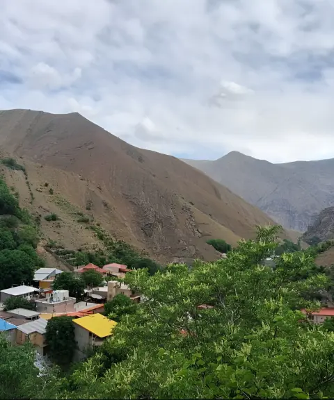

Sepahsalar Village
Province Alborz
- Walking
- Mountaineering
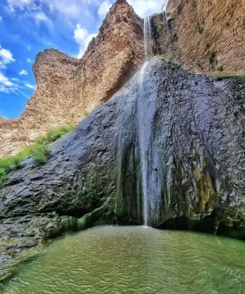
A 20-metre waterfall in the heart of the lush valleys along the Chalus Road
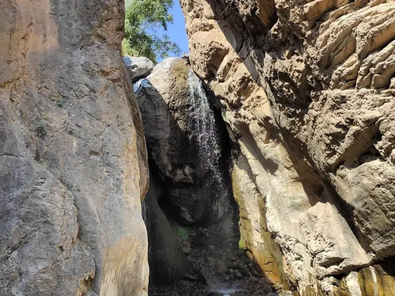
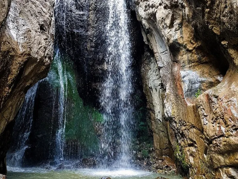
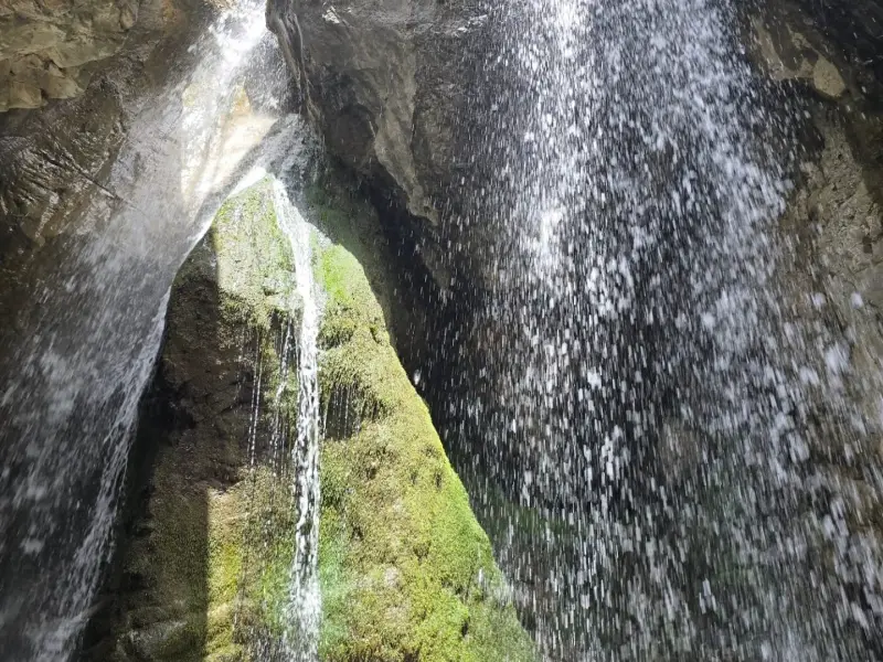
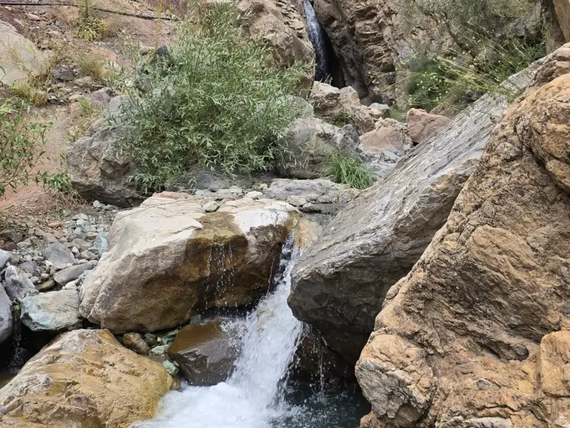
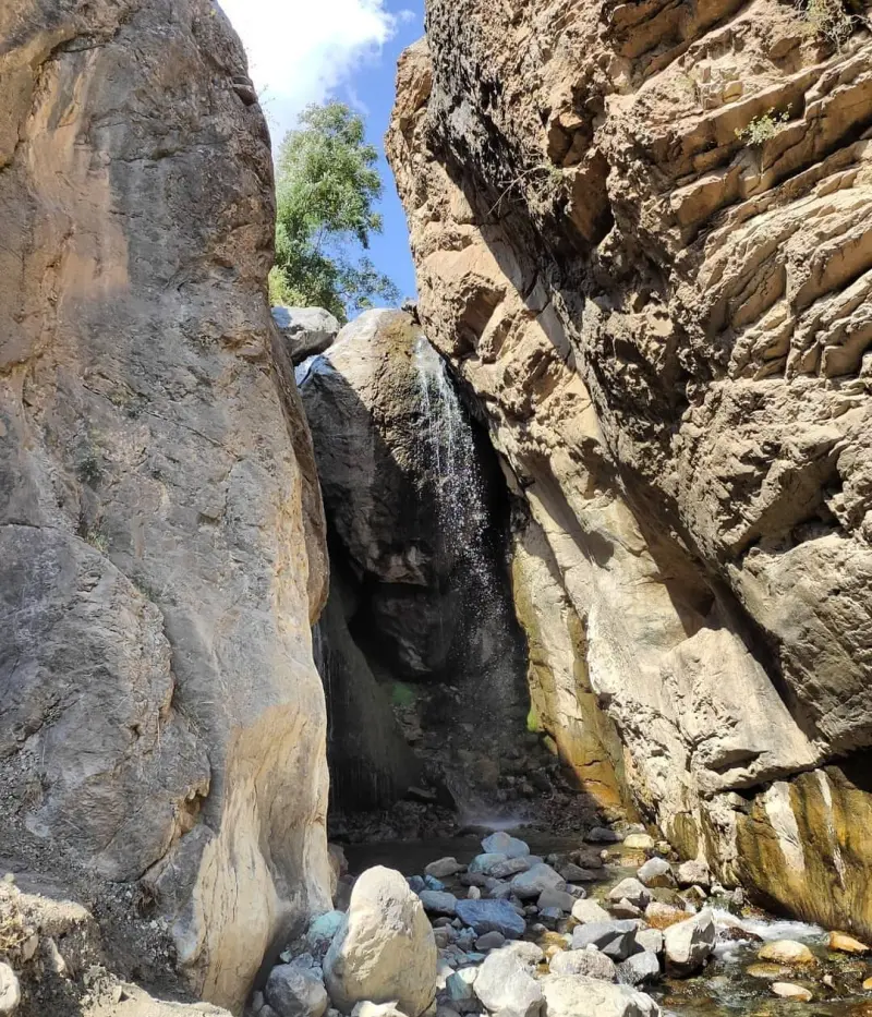
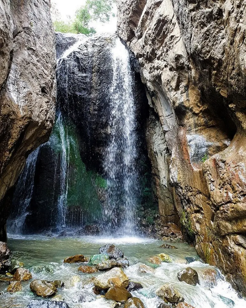
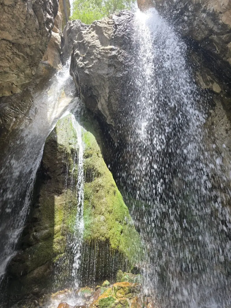
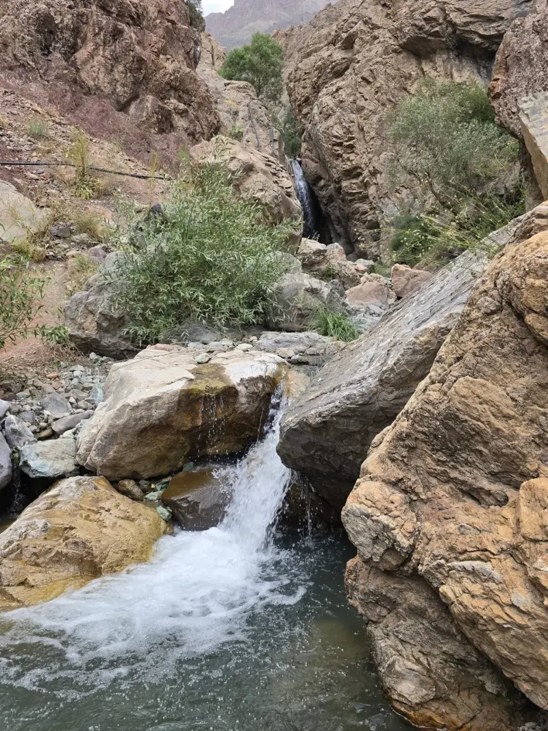
Sepahsalar Waterfall is one of the most notable natural attractions of Asara District in Karaj County, Alborz Province. It lies at kilometre 45 of the Chalus Road, near the village of Sepahsalar. The waterfall has formed in a lush mountain valley, and its location places it amid the forested and mountainous landscapes of the central Alborz. The surrounding area has long been a place where local visitors come to travel and relax, and it is known as one of the pleasant summer pastures with a good climate along the Chalus Road.
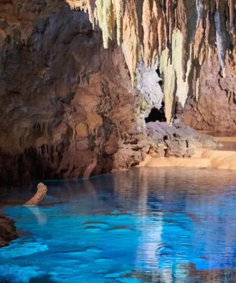
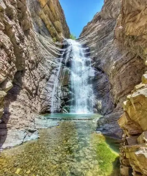
The waterfall, also known as "Haft Khan Waterfall", is about 20 metres high and drops from the mountainside onto a flat, rocky bed. The route to it runs through a long, green valley, where you will see small waterfalls, scattered orchards and natural meadows along the way. Besides its visual appeal, the route has distinctive geological features, and as you approach the waterfall the valley becomes narrower and more rocky. A cave on the northern slope of the waterfall adds to the natural appeal of the area and has made it one of the most mysterious and interesting spots on the Chalus Road.
You can reach Sepahsalar Waterfall via the Chalus Road, after passing through the Asara area and Pol-e Khab. From the village of Sepahsalar to the waterfall, you need to walk for about 1 to 1.5 hours along the river and through the valley, including some rocky, natural terrain. The best time to visit is spring and summer, when the water flow is at its peak and the landscape is at its greenest. During your visit, it is very important to follow safety rules when crossing the river and to keep the natural environment clean.
Written by ستایش عرب Last updated
What you can do here, and what it takes
در طول مسیر رودخانه و دره سپهسالار امکان پیادهروی در میان چمنزارها، باغها و مناظر طبیعی وجود دارد.
در حوضچهی این آبشار میتوانید آبتنی کنید.
مسیر دسترسی به آبشار شامل پیادهروی ۱ تا ۱.۵ ساعته در دره و کنار رودخانه است که تجربهای از کوهپیمایی سبک تا متوسط در طبیعت کوهستانی فراهم میکند.
Province Alborz
Province Alborz
Province Alborz
Province Alborz


Unfortunately, no comments have been registered.