
 Attractions
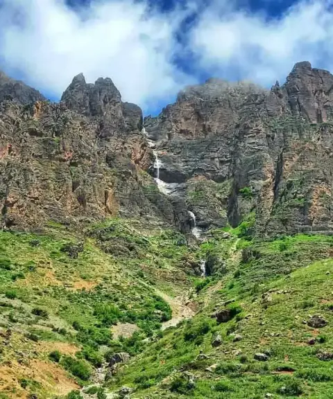

Harijan Waterfall
Province Mazandaran
- Walking
- Swimming
An unspoiled village with a roaring waterfall on the Chalus Road
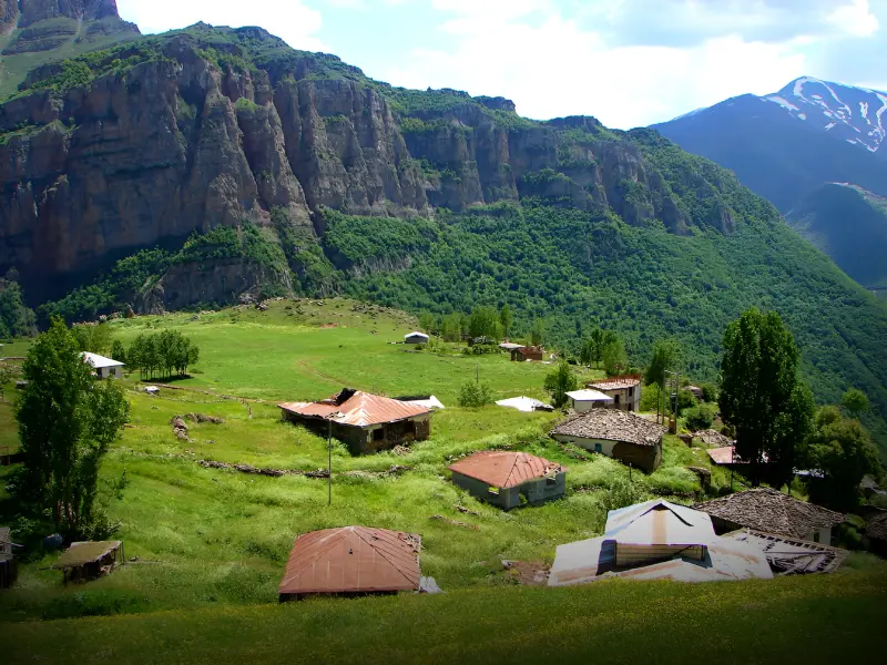
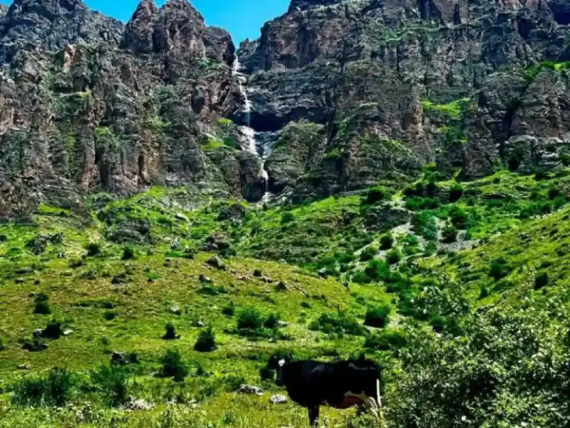
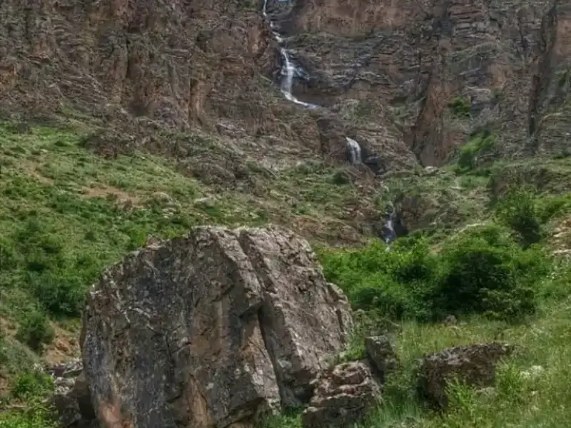
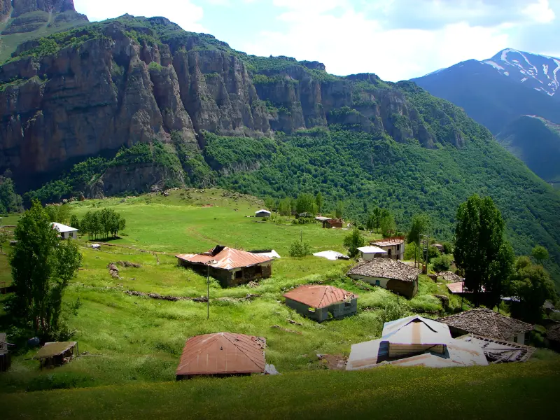
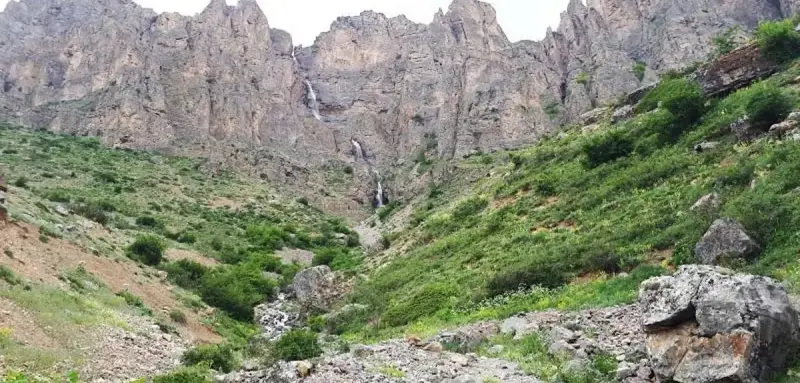
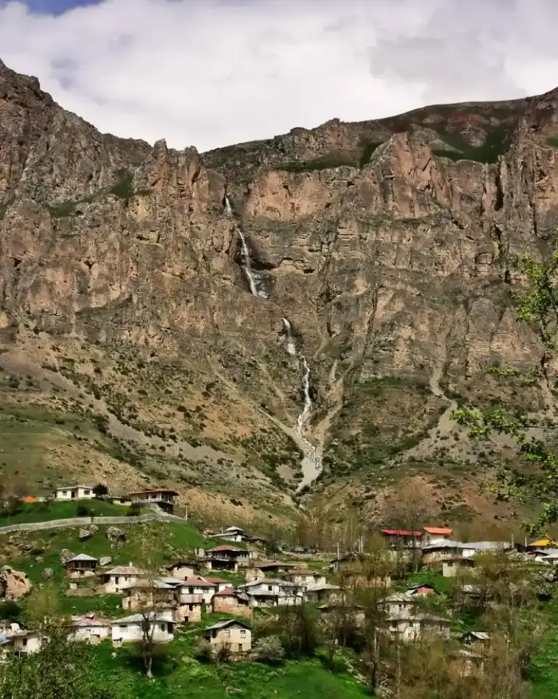
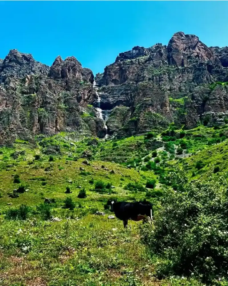
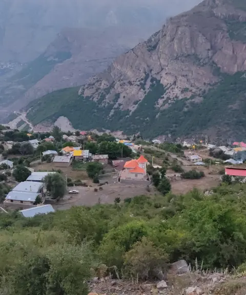
Harijan is a village in Marzanabad District of Chalus County in Mazandaran Province. It lies close to the Chalus Road, near Siahbisheh. This mountain village has a semi-terraced layout, a small population and Tabari-speaking residents, and is regarded as one of the areas with a pleasant climate in the Kelardasht region. Because it sits at the start of the Harijan Protected Area and is surrounded by broad natural scenery, it has become a notable nature-tourism destination. Wide plains, lush meadows and simple rural architecture, with adobe huts and wooden roofs, give an authentic and peaceful picture of village life.
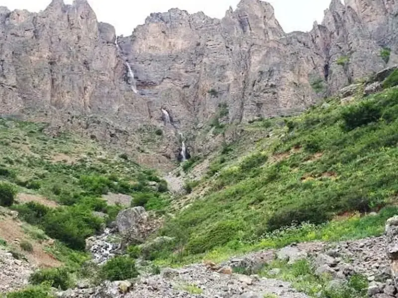
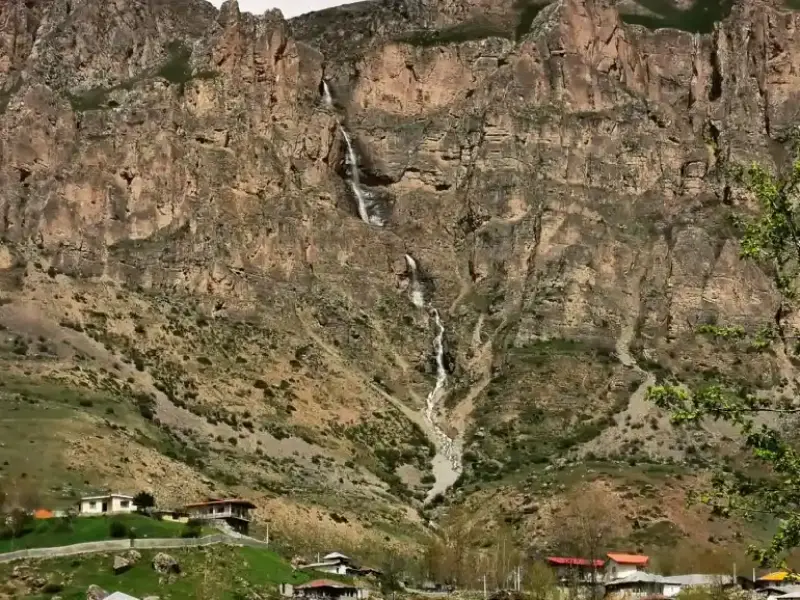
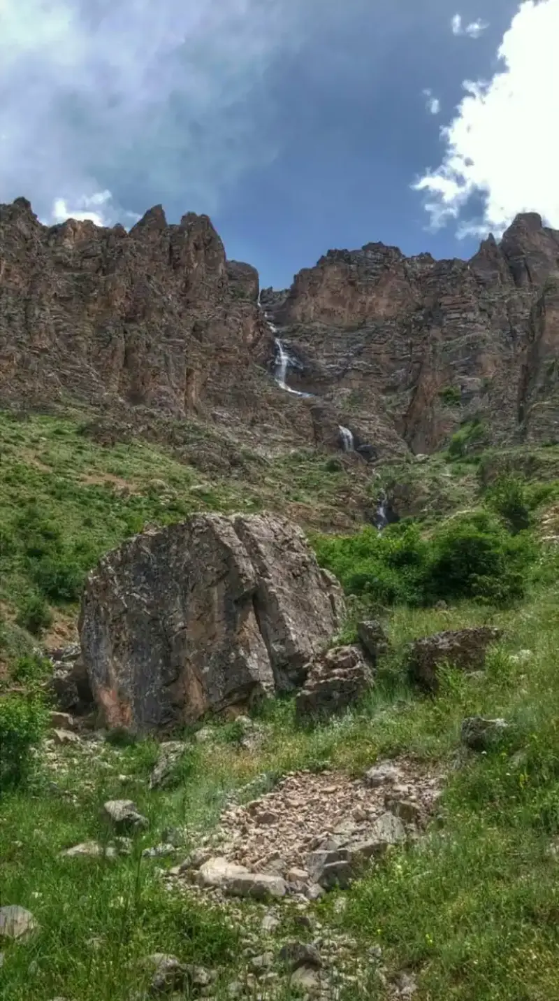
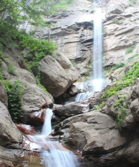
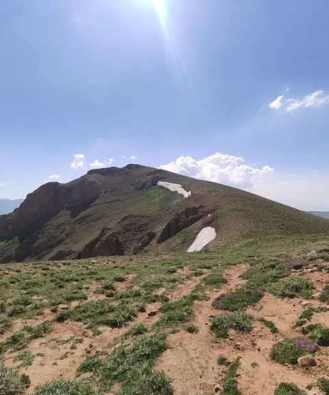
The village's main attraction is Harijan Waterfall. It is quite tall (about 80 metres) and drops from a rocky cliff to the west of the village, creating a stunning view. The route to the waterfall passes through flower-filled plains and wide grasslands, and takes about 15 minutes on foot through the countryside. Because it lies within a protected area, the region is home to valuable species such as wild goat and ibex, bears, partridges and even leopards, so it is ecologically very important. The shrine of Imamzadeh Shahzadeh Mahmoud near the village also adds to the area's cultural and religious appeal.
To reach Harijan, take the Chalus Road and, a few kilometres past Siahbisheh, turn onto a side road at a specific point. From there, about 4.5 kilometres of dirt road leads to the village. Although unpaved, the road is passable, but it requires careful driving. From the village, a clear path leads to the waterfall, part of which is covered on foot across green meadows. The best time to visit is the second half of spring and summer, though autumn, with its distinctive colours, is also very attractive. Since Harijan lies within a protected area, it is especially important to follow the principles of responsible nature tourism: do not enter protected zones without a permit, do not light fires in nature, and avoid harming animal habitats.
Written by ستایش عرب Last updated
What you can do here, and what it takes
مسیر دسترسی به آبشار از میان دشتهای سرسبز، فرصت مناسبی برای پیادهروی در طبیعت بکر فراهم میکند.
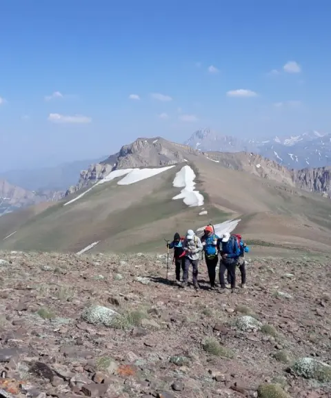
مسیرهای اطراف آبشار و ارتفاعات مشرف به روستا برای صعودهای سبک و نیمهحرفهای مناسباند.
Province Mazandaran
Province Mazandaran
Province Mazandaran
Province Mazandaran
Province Mazandaran
Province Alborz


Unfortunately, no comments have been registered.