
 Desert (Kavir)
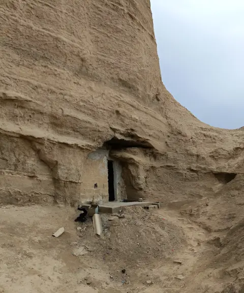

Abed Cave
Province Bushehr
- Walking
- Caving
A combination of kaluts and a wetland near Bandar Mohammad Ameri
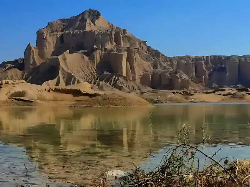
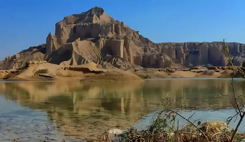
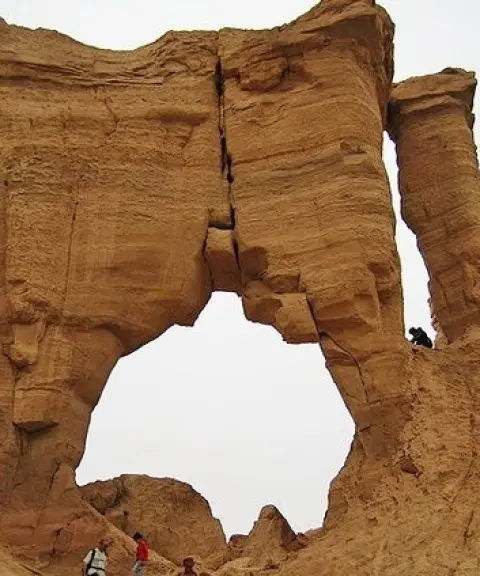
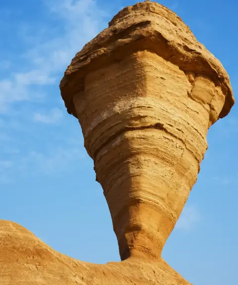
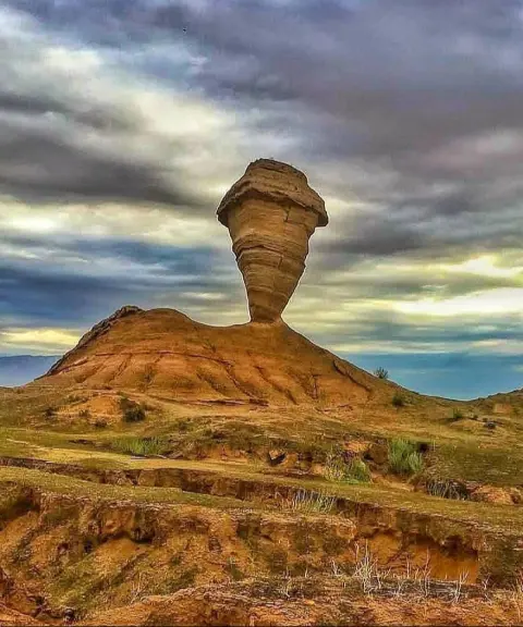
The Bujir kaluts are part of the chain of kaluts in the Mand region, and lie around Bandar Mohammad Ameri and to the east of it. These geological formations are the result of millions of years of erosion by wind, water and soil, which have created unique natural shapes and ridges. The kaluts' proximity to the mountainous landscape and the surrounding plains offers a distinctive view of eroded soils combined with natural structures, and is especially appealing to geology enthusiasts and nature photographers.
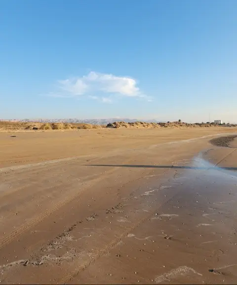
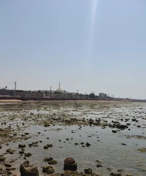
Next to these kaluts lies Bujir Wetland, whose water level and wetland vegetation change in autumn and winter with lighter or heavier rainfall, creating a different scenery each time. The combination of wetland and kalut terrain increases the area's ecological and visual diversity, and offers the chance to see two natural features (a wetland and kaluts) at the same time. This makes it highly attractive to nature travellers and landscape photographers.
The Bujir kaluts can be reached via local routes and minor roads. Because the weather is hot for most of the year, it is best to visit Kalut Bujir early in the morning or in the late afternoon. Because of the nature of the terrain and the likelihood of uneven ground, climbing the kaluts without adequate equipment and knowledge is not recommended. Following safety principles and practising responsible nature tourism are essential to protect visitors' health and preserve the natural environment.
Written by زهرا لنگری Last updated
What you can do here, and what it takes
مسیرهای پاکوب اطراف کلوتها برای گشتوگذار و مشاهده اشکال فرسایشی مناسب است.
Province Bushehr
Province Bushehr

Unfortunately, no comments have been registered.