
 Waterfalls
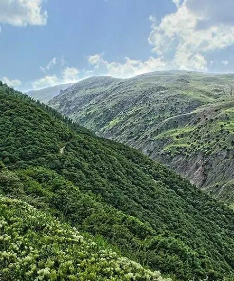
Koliyar Waterfall
A unique display of the cascading waterfalls of northwest Iran
- Waterfalls
- Ardabil, Meshgin Shahr
- Altitude 1,952 m
- Ability level Beginner
Ability level:
Beginner
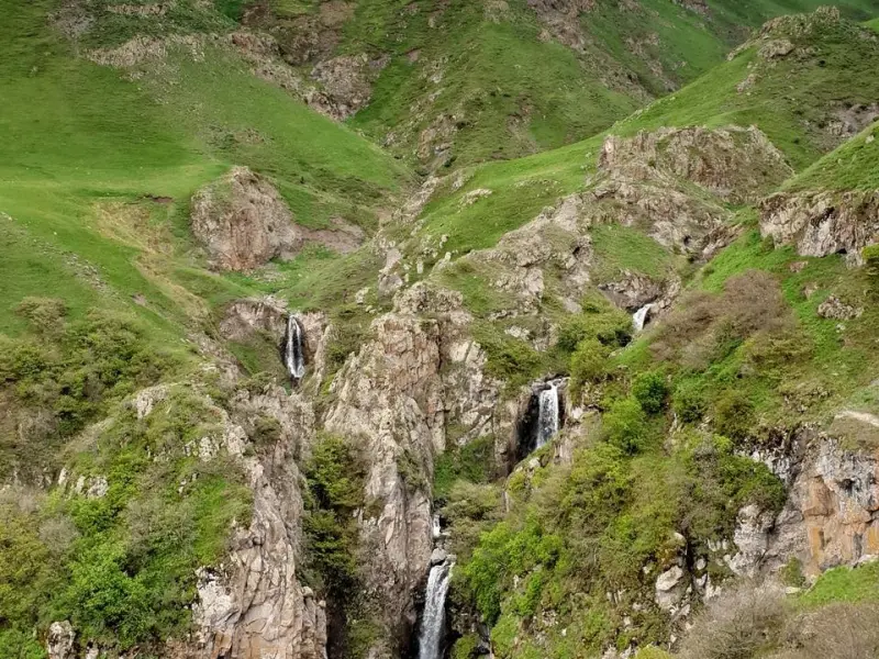
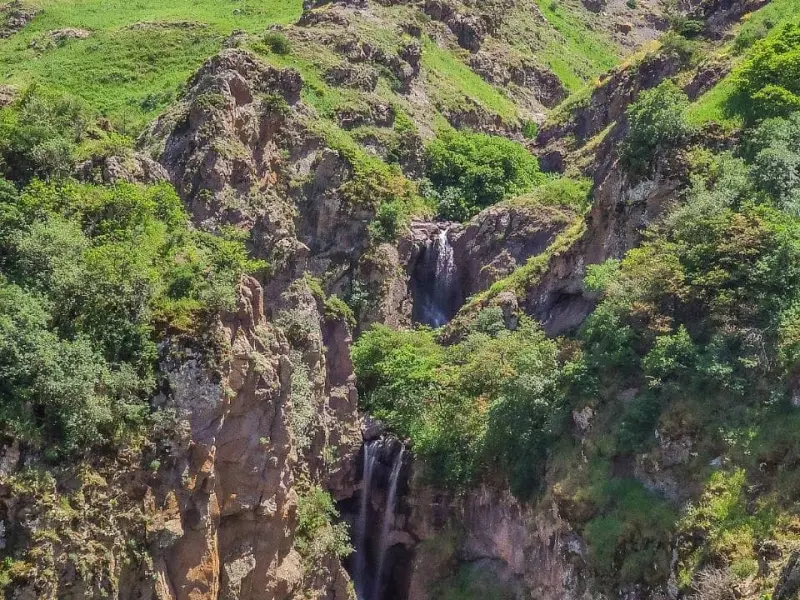
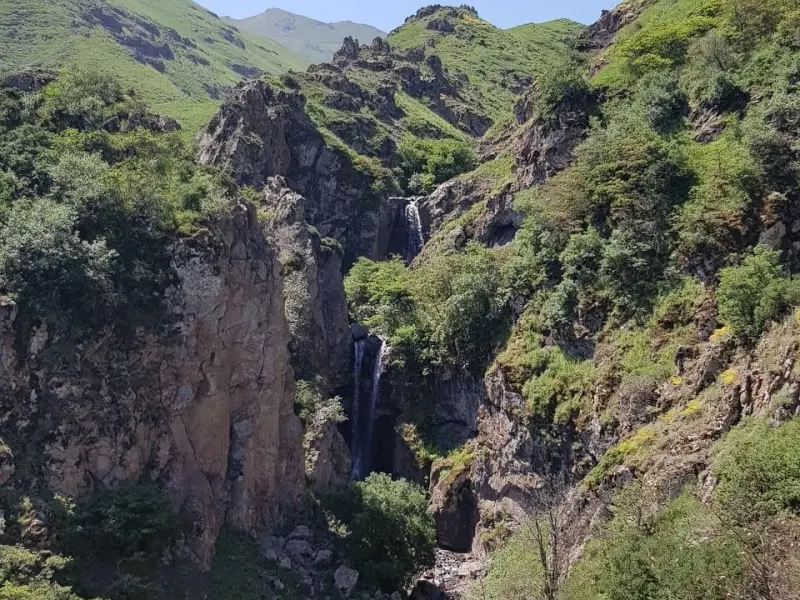
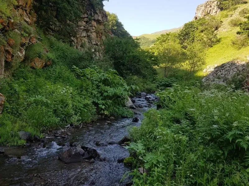
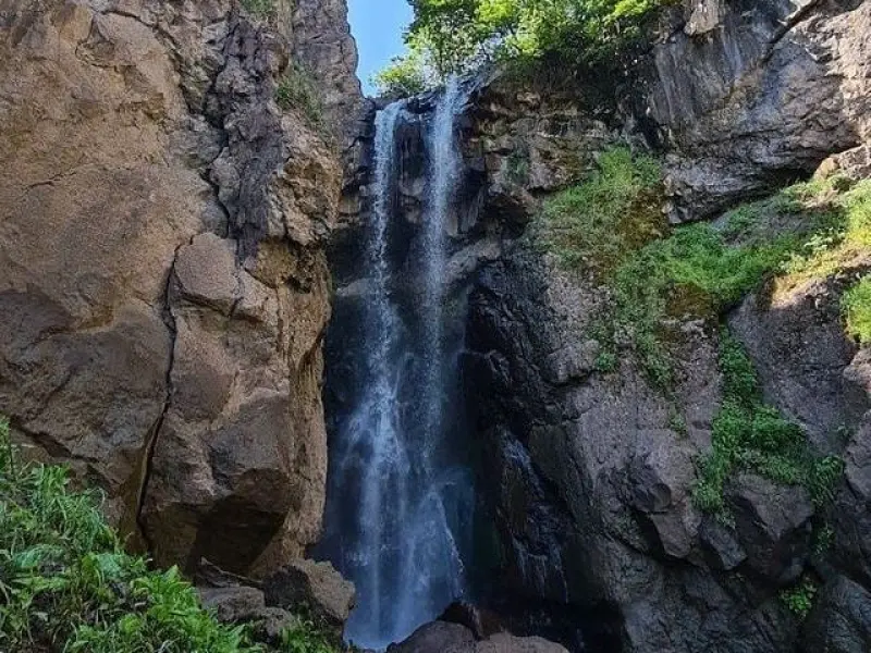
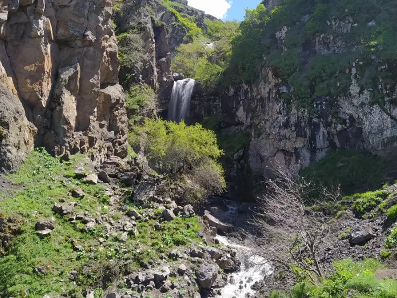
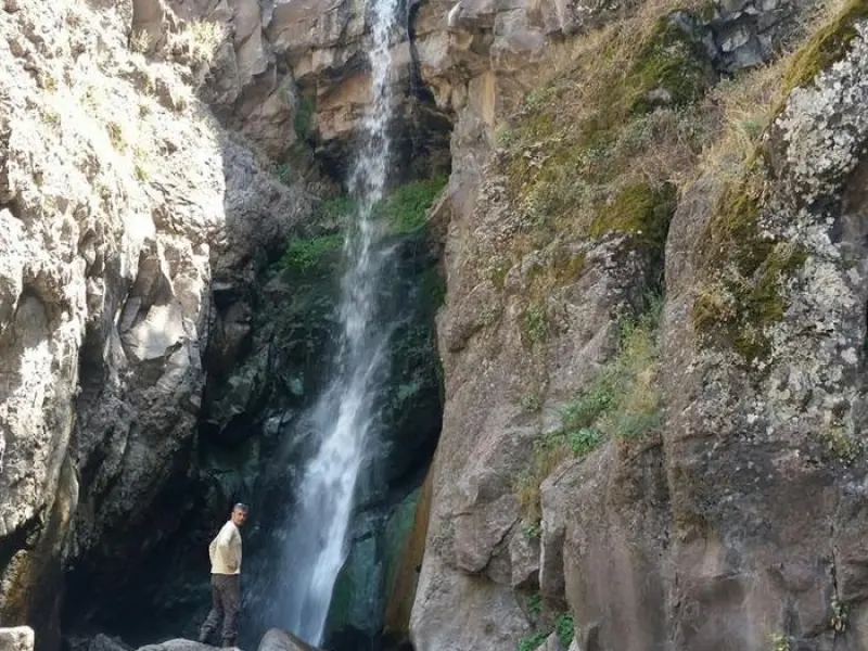
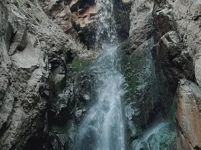
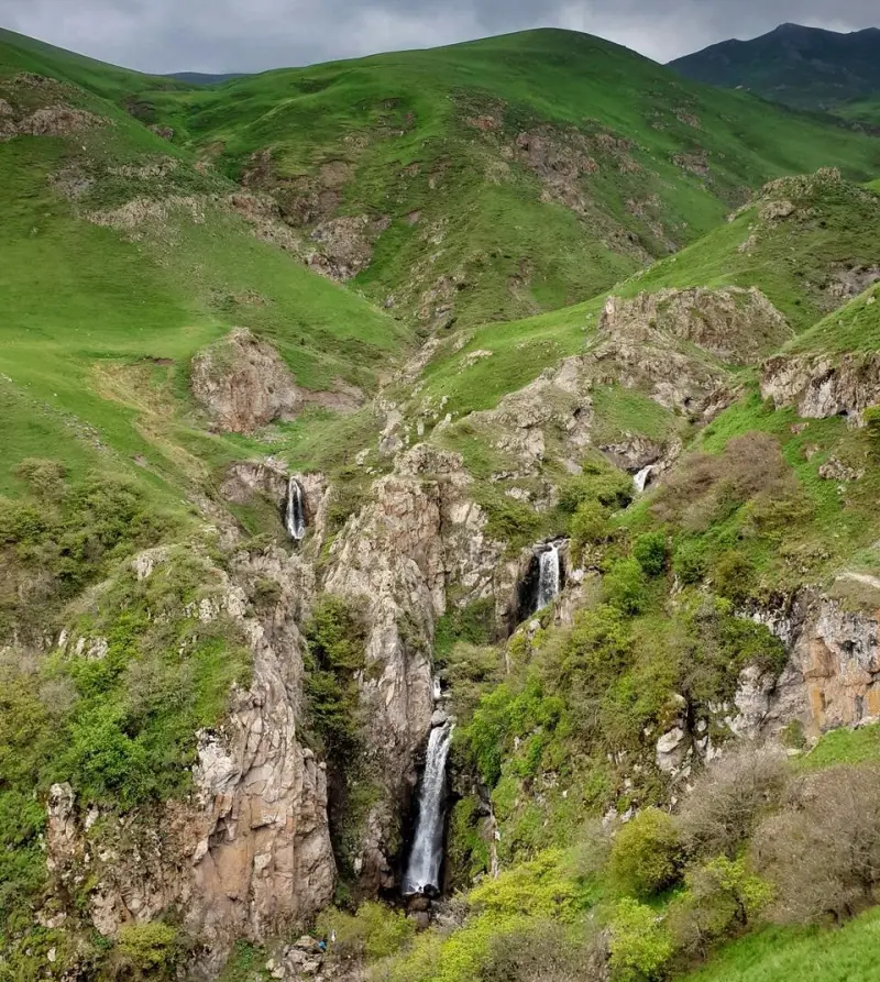
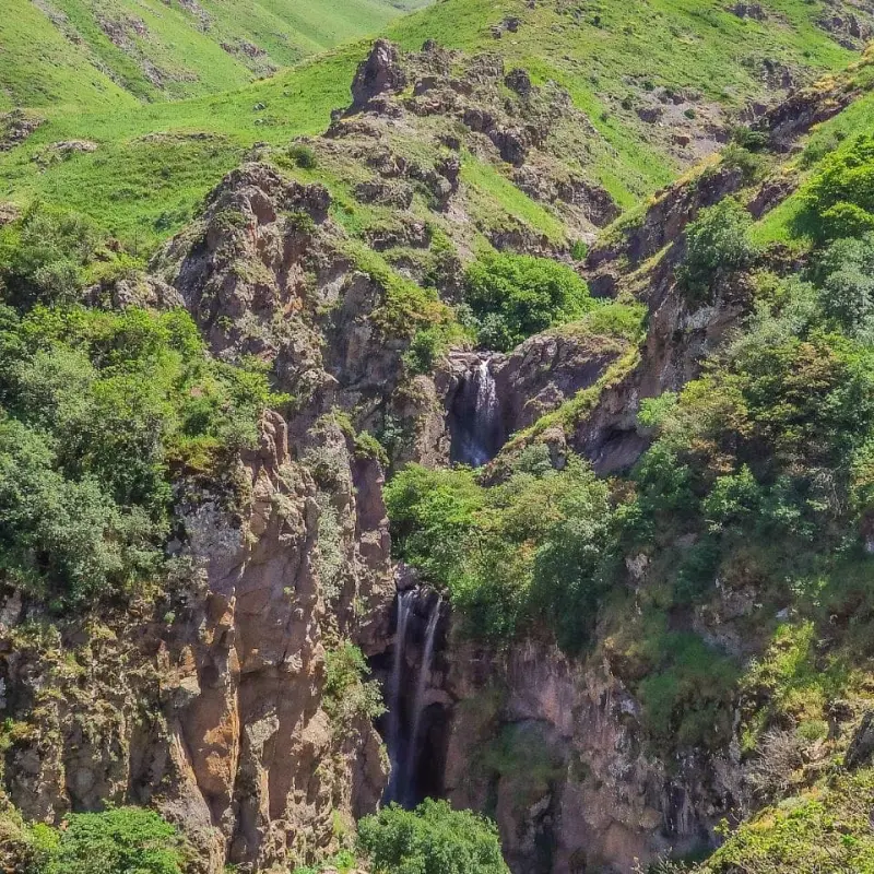
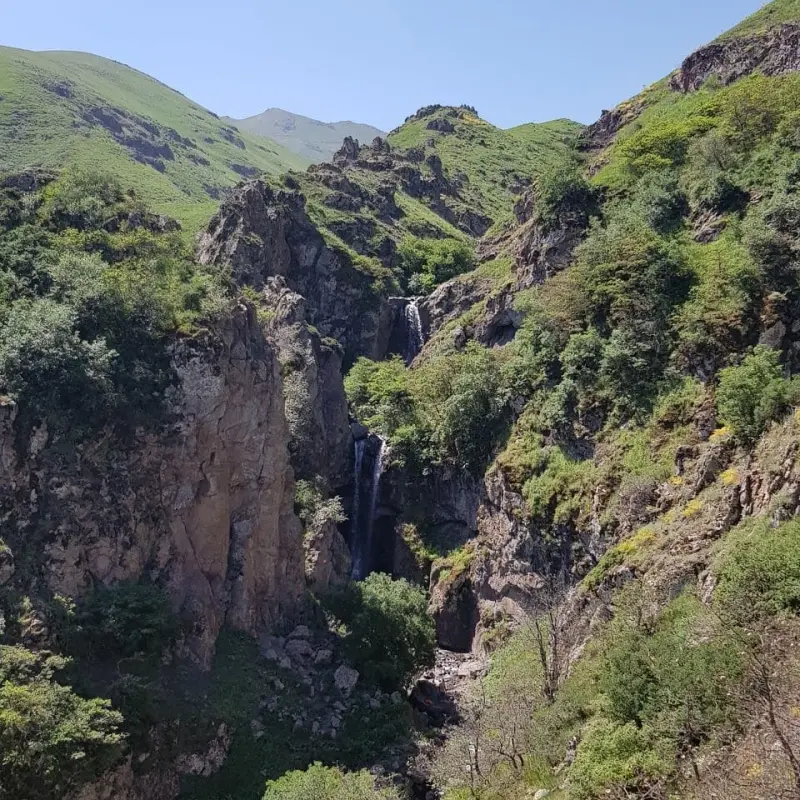
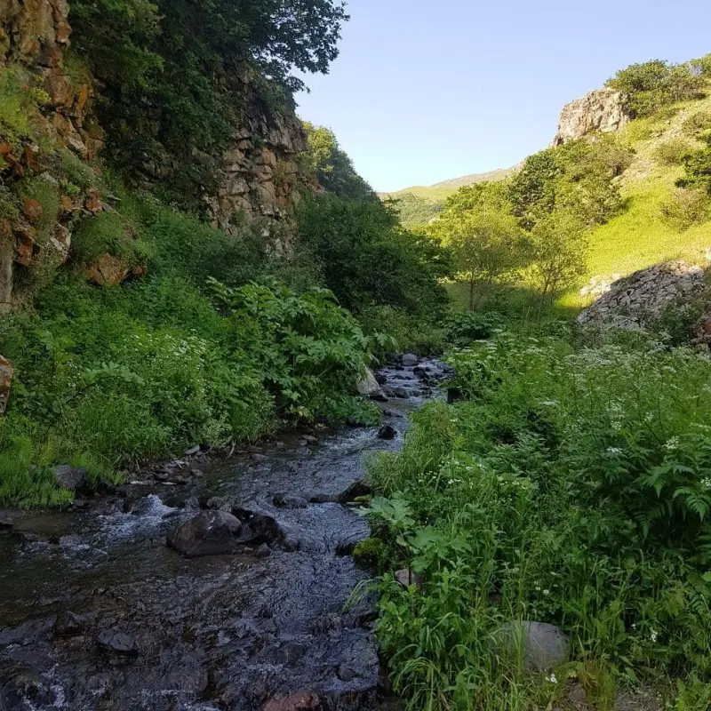
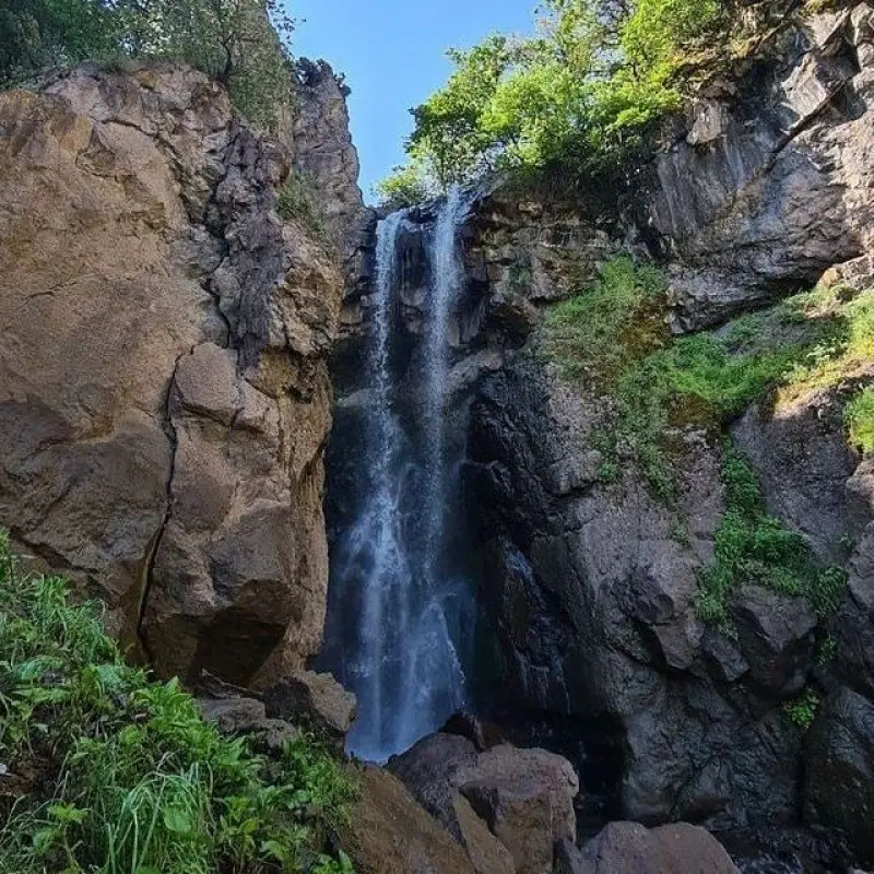
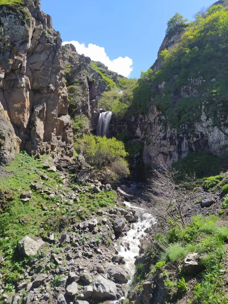
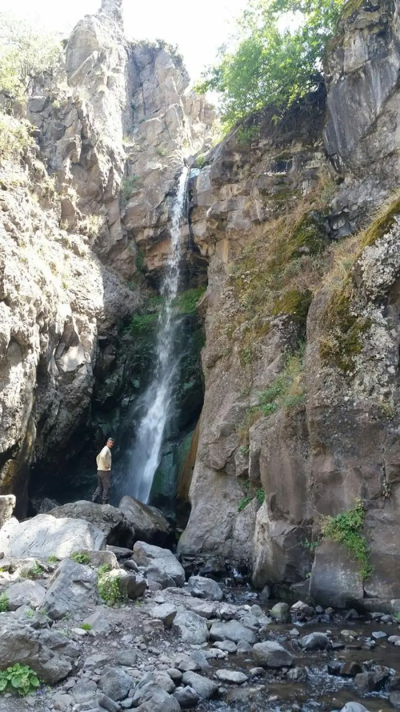
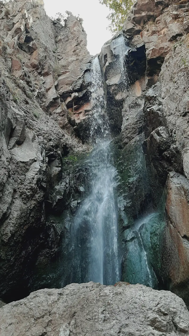
Koliyar Waterfall lies in the Gizli Mesheh forest area of Meshgin Shahr County, Ardabil Province, and is considered one of the province's most beautiful natural attractions. It is located along the river that leads to the village of Kuhkenar (Koliyar), and presents a series of four tiered waterfalls amid pristine mountain nature. Upstream of the waterfall are the summer pastures of livestock-herding nomads, which, besides their natural value, give the area a distinctive local and cultural character. The waterfall's location in the highlands of northwest Iran, set within semi-arid steppe forests, has made it an attractive choice for travellers and nature lovers.
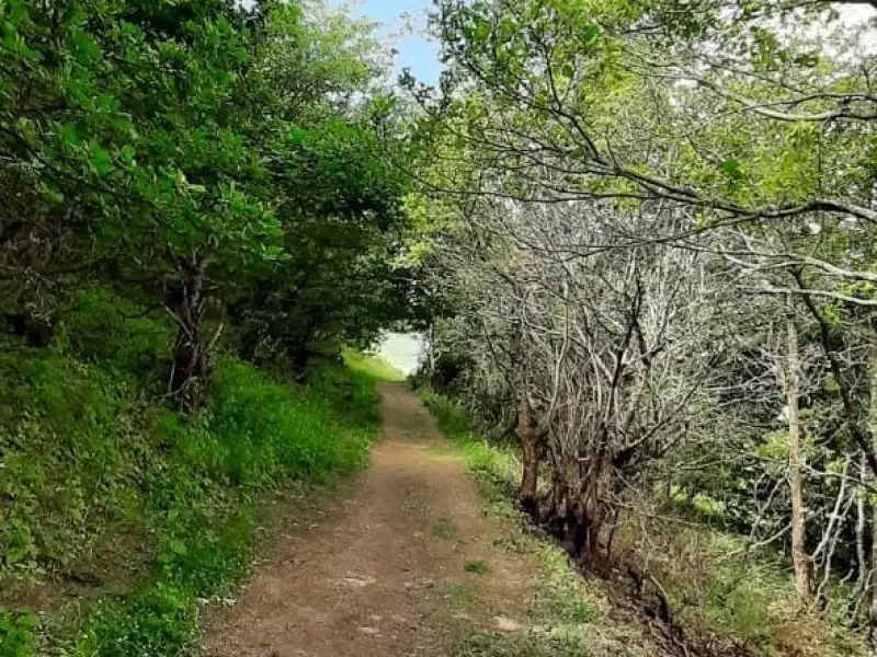
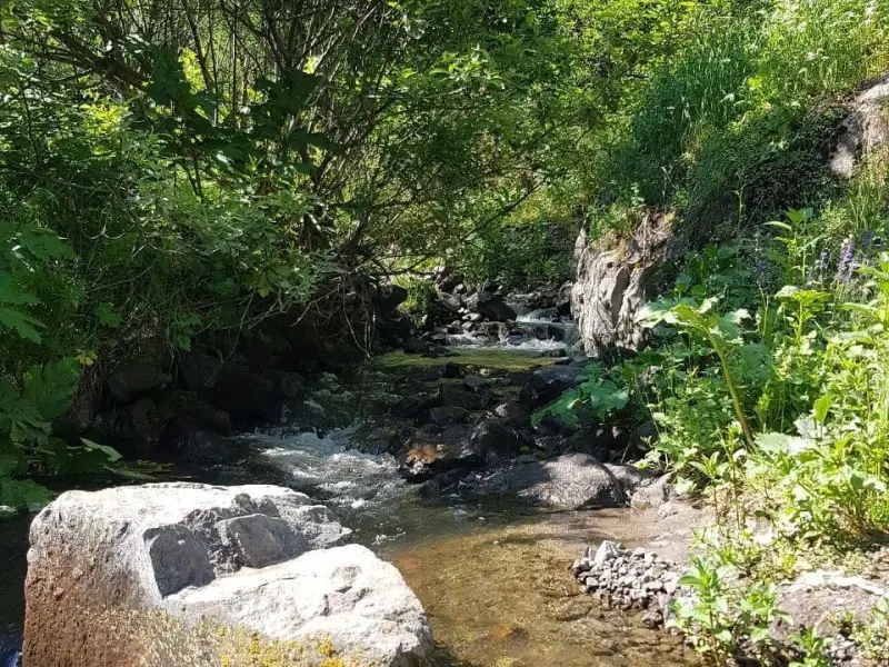
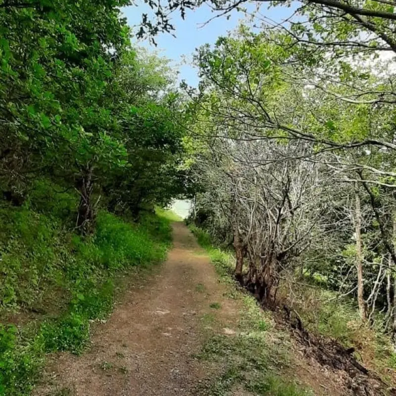
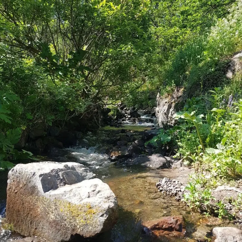
Koliyar Waterfall has no direct road for vehicles, and visitors usually start the hike from either Qeynarjeh village or Kuhkenar village. The trail runs through the river valley and forest, and because of the ups and downs, the rough terrain and several river crossings, it takes about 3 to 3.5 hours. There are springs and watering points along the way, but since they are seasonal, it is best to carry the water you need. The area around the waterfall is covered with thickets and shrubs adapted to semi-arid conditions, and walking the stepped, wooded trails offers visitors an exciting and scenic experience.
To reach Koliyar Waterfall, first drive from Meshgin Shahr toward Shaban village, which you will reach after about 16 kilometres. From there, a 10-kilometre asphalt road continues to Kuhkenar village, after which a dirt road begins and extends to the summer pastures above the waterfall. The best time to visit is spring and summer, when the water flow is fuller and the weather is more suitable, although autumn, with its attractive scenery and colours, is also a good option. Practising responsible nature tourism, including not leaving litter, respecting plants and wildlife, and keeping to marked footpaths, helps preserve this natural beauty.
Written by زهرا لنگری Last updated
Activities
What you can do here, and what it takes
-
Walking
مسیرهای پاکوب و جنگل اطراف آبشار مناسب پیادهروی تفریحی و طبیعتگردی است.
Specifications
Introduction of the location and specifications of Koliyar Waterfall
Location:
Ardabil, Meshgin Shahr
Coordinates:
38.28804484, 47.39736470
Open in maps
Height above mean sea:
1952 meter
Faunas:
Presence of Predatory Animals, Presence of Allergenic Insects, Presence of Herbivorous Animals
Transports:
Private car, Minibus, Bus
Native Languages:
Turkey
Tourist Attractions in Meshgin Shahr
Attractions that are nearby

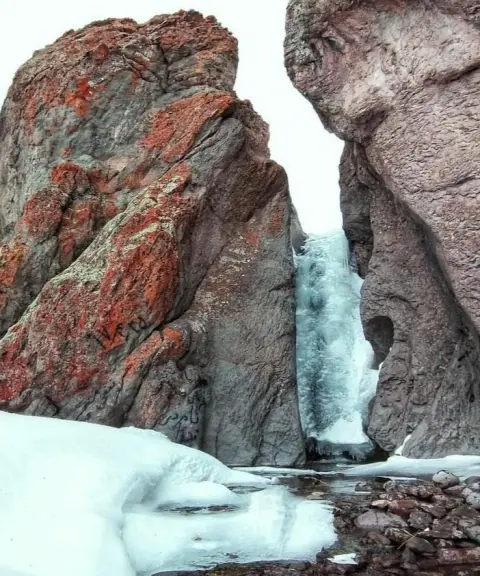
Shiran Waterfall
Province East Azerbaijan
- Walking
- Swimming
A pristine experience in the Arasbaran highlands

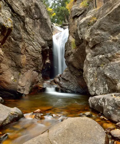


Karkari Waterfall
Province Ardabil
- Walking
- Swimming
- Mountaineering
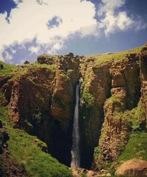
A waterfall on the slopes of the Sabalan Mountains
Related tags:
Unfortunately, no comments have been registered.