
 Desert (Kavir)
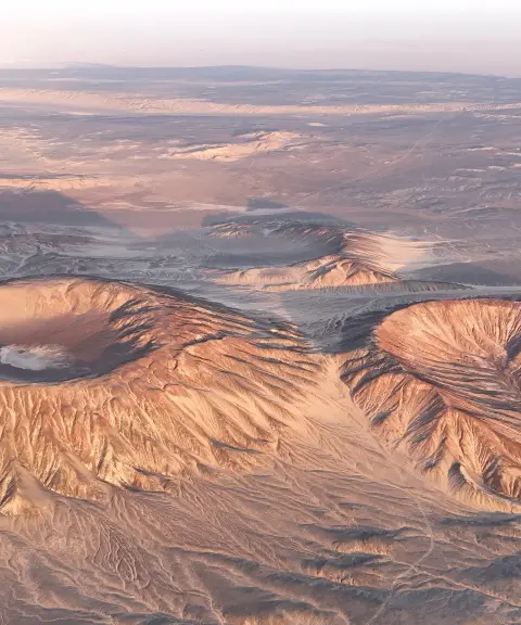
Gandom Beryan
The hottest landscape on Earth, in the heart of the desert
- Desert (Kavir)
- Kerman, Ravar
- Altitude 443 m
- Ability level Beginner
Ability level:
Beginner
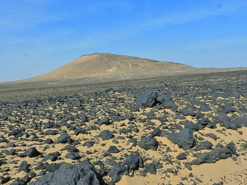
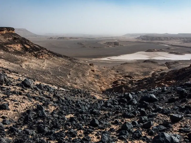
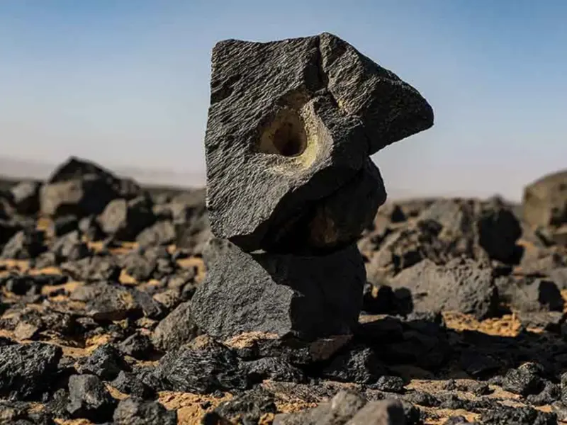
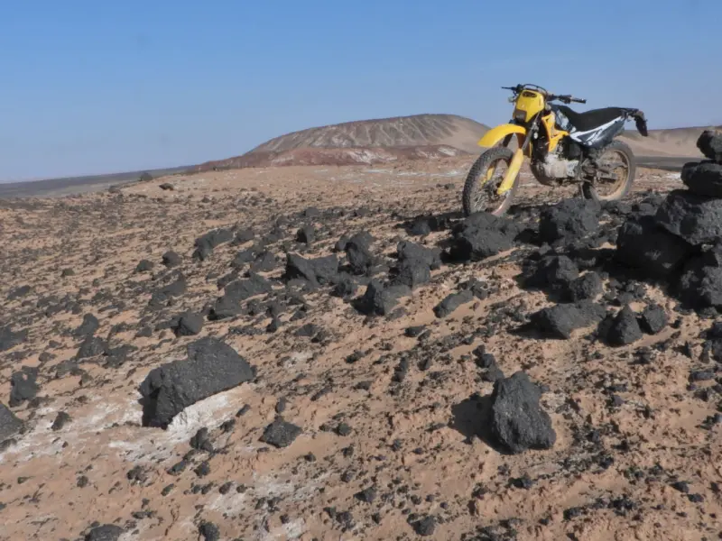
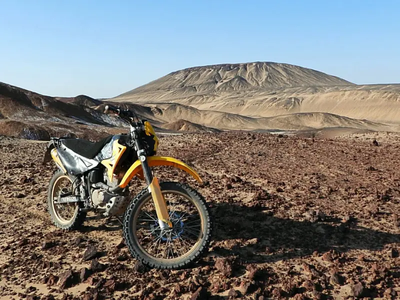
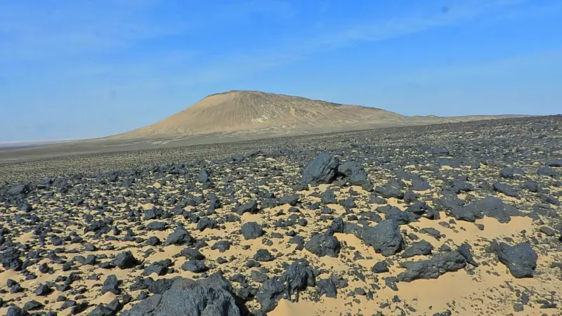
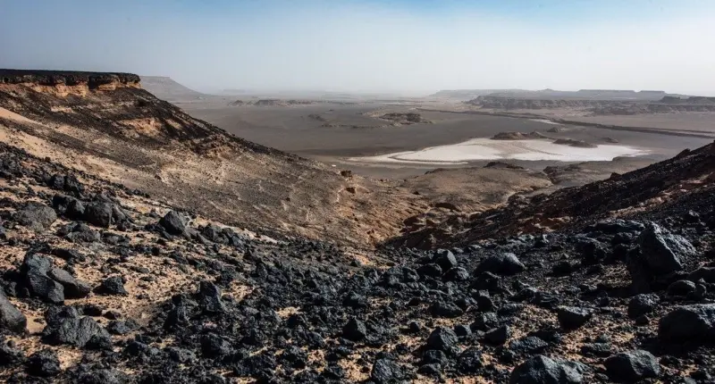
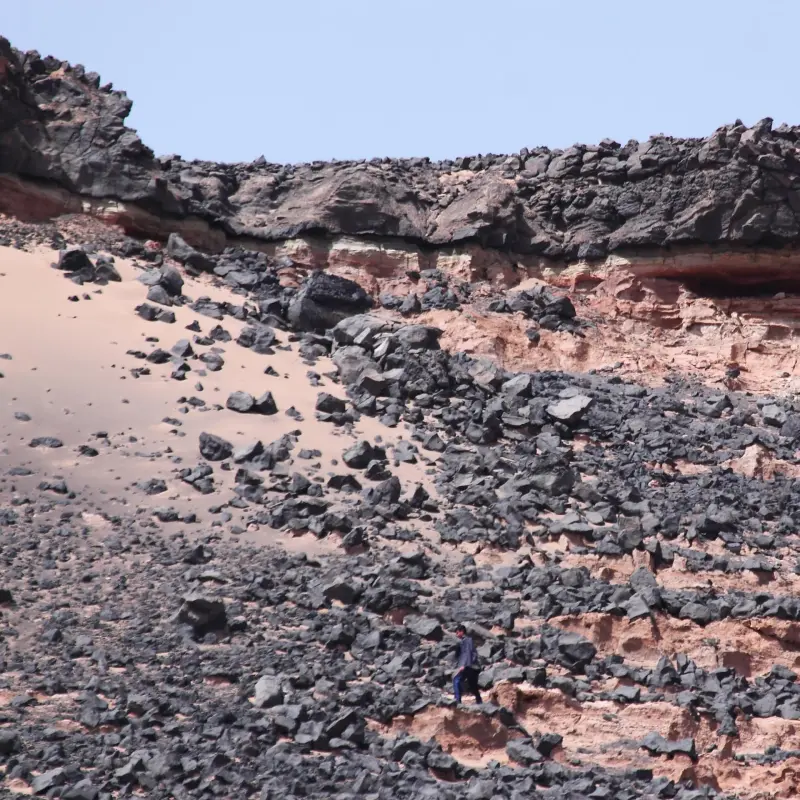
Gandom Beryan, also known as Rig-e Sukhteh (the "Burnt Sands"), is one of the most remarkable natural phenomena in Kerman Province. With temperatures approaching 70 degrees Celsius, it is considered one of the hottest places in Iran. The area lies about 80 kilometres north of the town of Shahdad, in the heart of the Lut Desert, and covers between 200 and 480 square kilometres. Its ground is covered with dark basaltic lava, which absorbs intense heat and raises the temperature of the area even further. Gandom Beryan lies beside the Shur River of Shahdad, and because of its unusual climate and geology, some sources even describe it as one of the hottest regions on Earth. This heat results from the strong absorption of sunlight by the dark rocks, and it makes a visit here an unforgettable experience.
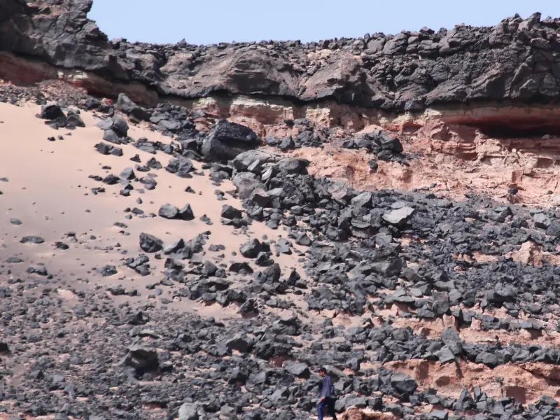
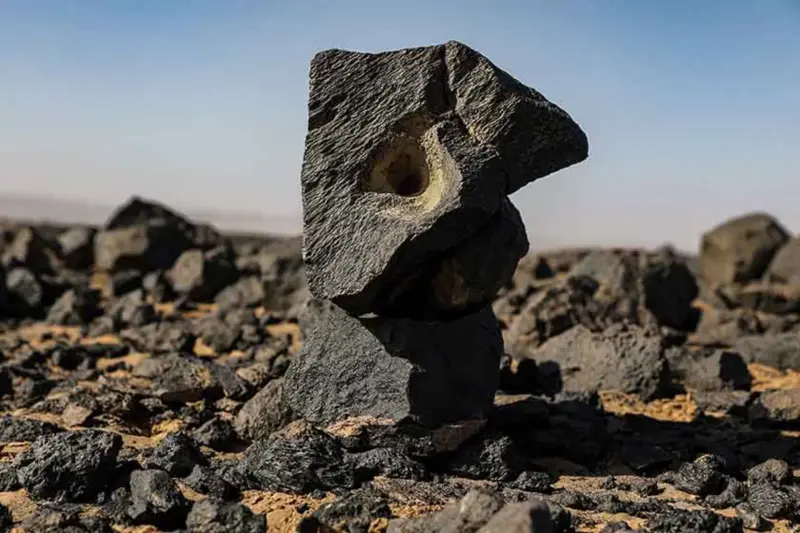
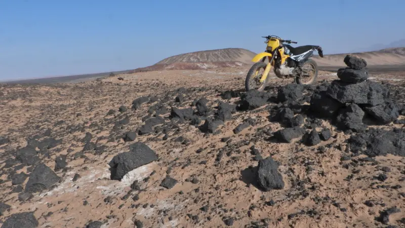
The surface of Gandom Beryan is almost entirely covered with black basalt and lava, with no significant vegetation or animal life. This silence and lifelessness is part of its natural appeal, and the scenery evokes, more than anything, the link between geology, desert travel and the boundless experience of the desert. A visit to this area is especially recommended for lovers of desert trekking and landscape photography, provided that weather conditions and travel safety are taken into account. The name comes from its proximity to the Silk Road. Caravans passing this way in the hot seasons found that their wheat grains were roasted by the intense heat, and so the place was named "Gandom Beryan" ("Roasted Wheat"). The northern part of Gandom Beryan is level with the surrounding plains, but its black soil makes it look, mistakenly, like a hill. These features, together with its unique views and volcanic cover, have made Gandom Beryan one of the pristine and astonishing natural attractions of the Lut Plain.
To reach Gandom Beryan, start from the city of Kerman and head towards Shahdad, then continue north along the Shahdad–Nehbandan road. About 40 kilometres after Shahdad, a dirt side road with signposts branches off towards Gandom Beryan. Driving through the desert and crossing the Shur River along this route requires four-wheel-drive (4×4) vehicles and suitable equipment. The best time to visit Gandom Beryan is winter, early spring or late autumn, because the extreme heat of summer can make it impossible to be there and can endanger visitors' safety. During your visit, it is essential to follow the principles of responsible nature tourism, such as carrying enough water, keeping the area clean and not damaging its natural structure.
Written by زهرا لنگری Last updated
Activities
What you can do here, and what it takes
-
Walking
پیادهروی سبک در اطراف گندمبریان و نواحی اطراف رودخانهی شور، تجربهای متفاوت از طبیعتگردی کویری را فراهم میکند.
Specifications
Introduction of the location and specifications of Gandom Beryan
Location:
Kerman, Ravar
Coordinates:
31.03775798, 57.64665646
Open in maps
Height above mean sea:
443 meter
Floras:
Deserts and Dry Shrublands
Faunas:
Presence of Predatory Animals, Presence of Allergenic Insects, Presence of Herbivorous Animals
Transports:
Private car
Tourist Attractions in Ravar
Attractions that are nearby
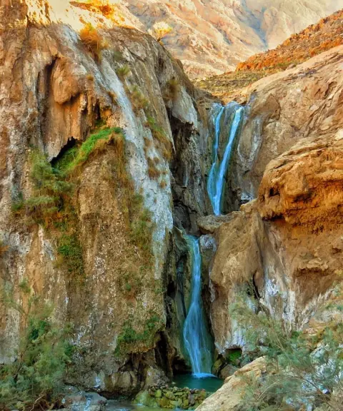

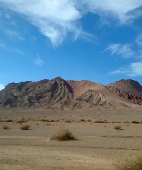

Darband-e Ravar Wildlife Refuge
Province Kerman
- Walking
- Mountaineering
A treasure trove of biodiversity in the heart of the Lut Desert
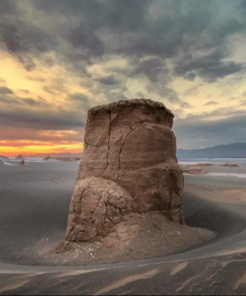
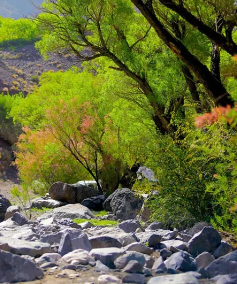

Shangestan Valley
Province Kerman
- Walking
- Mountaineering
Stunning greenery in the Kuhpayeh foothills of Kerman
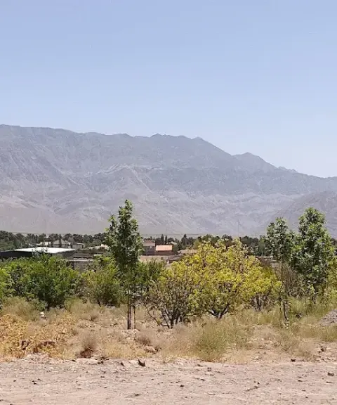

Deh Lulu Village
Province Kerman
- Walking
- Mountaineering
Mountain scenery and clear springs in northern Kerman
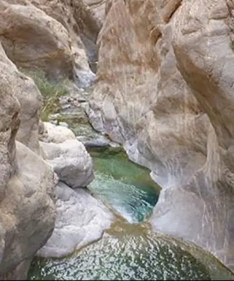

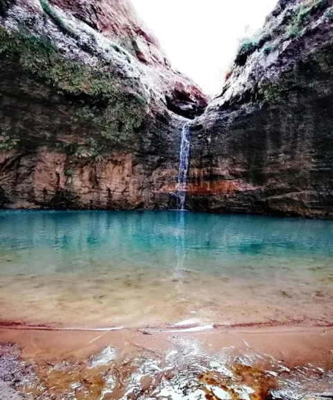
Simak Waterfalls
Province Kerman
- Walking
- Rock Climbing
- Canyoning
An amazing piece of nature in Kuhpayeh, Kerman
Related tags:
Unfortunately, no comments have been registered.