
 Mountain
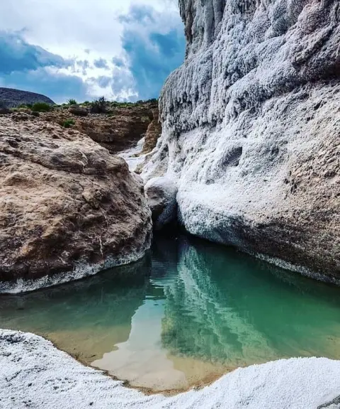

Khorsin Cave
Province Hormozgan
- Walking
- Canyoning
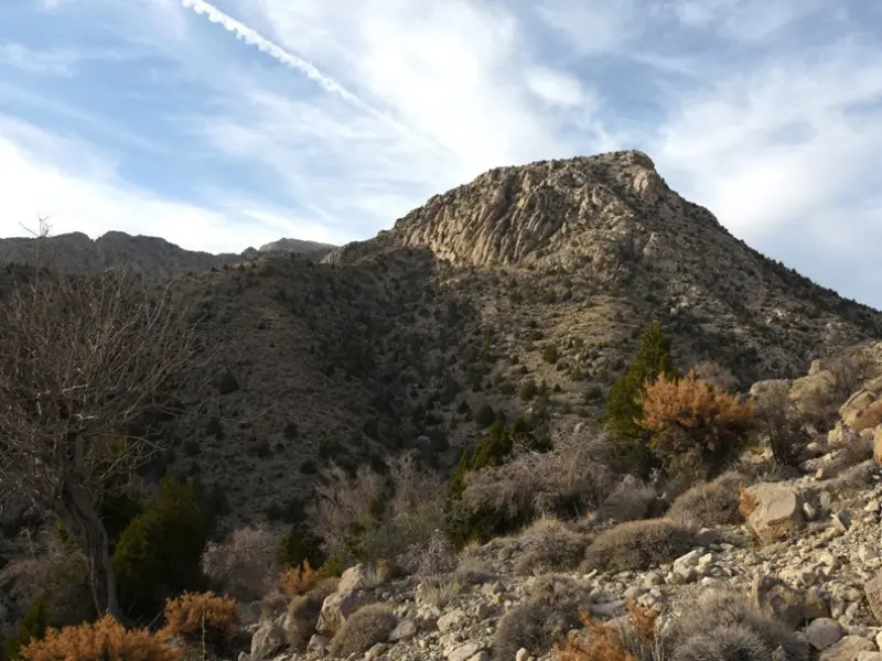
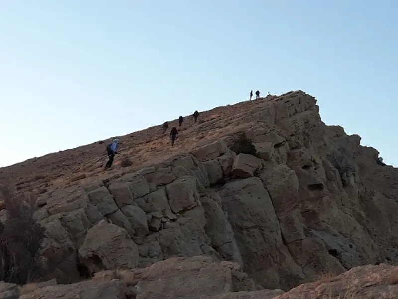
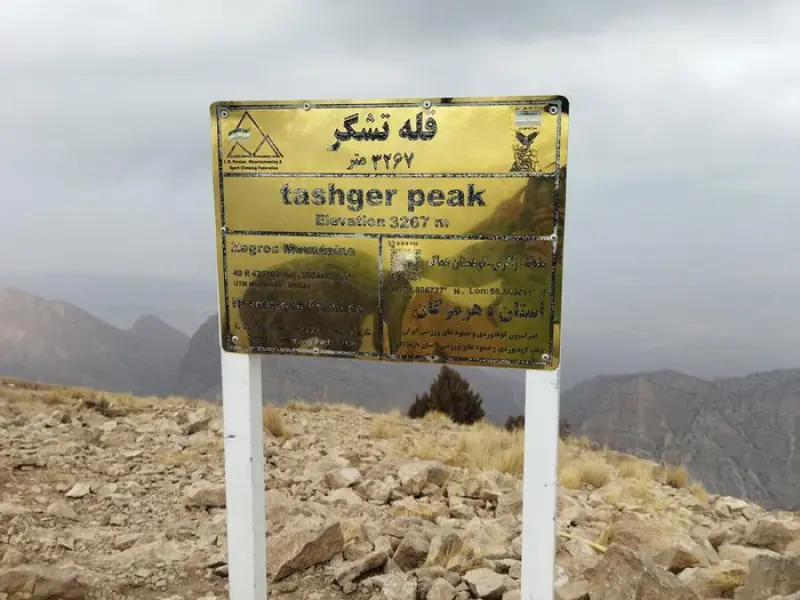
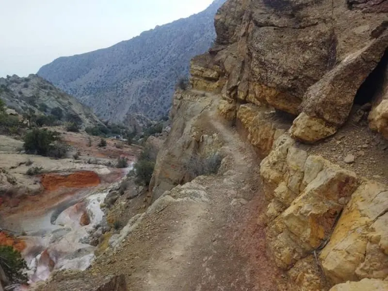
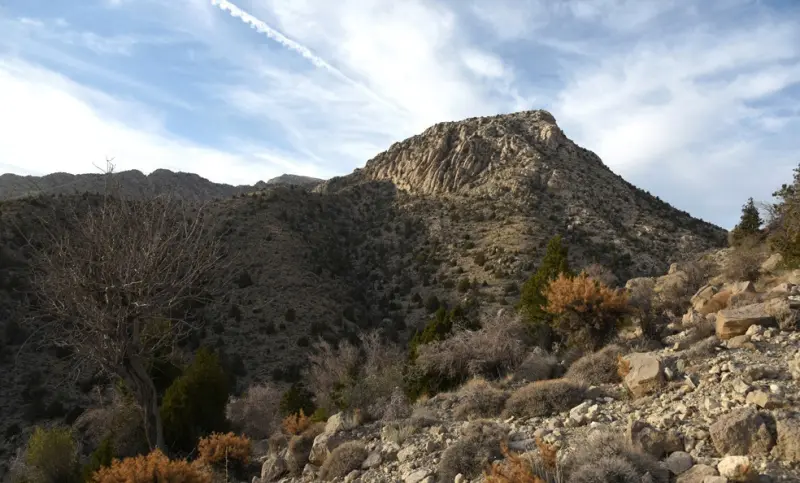
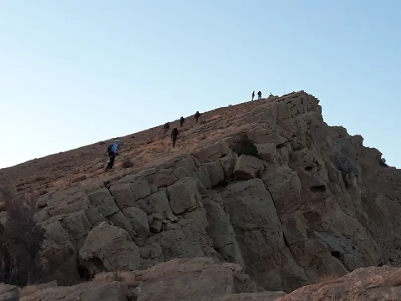
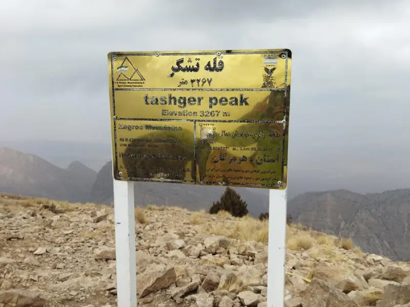
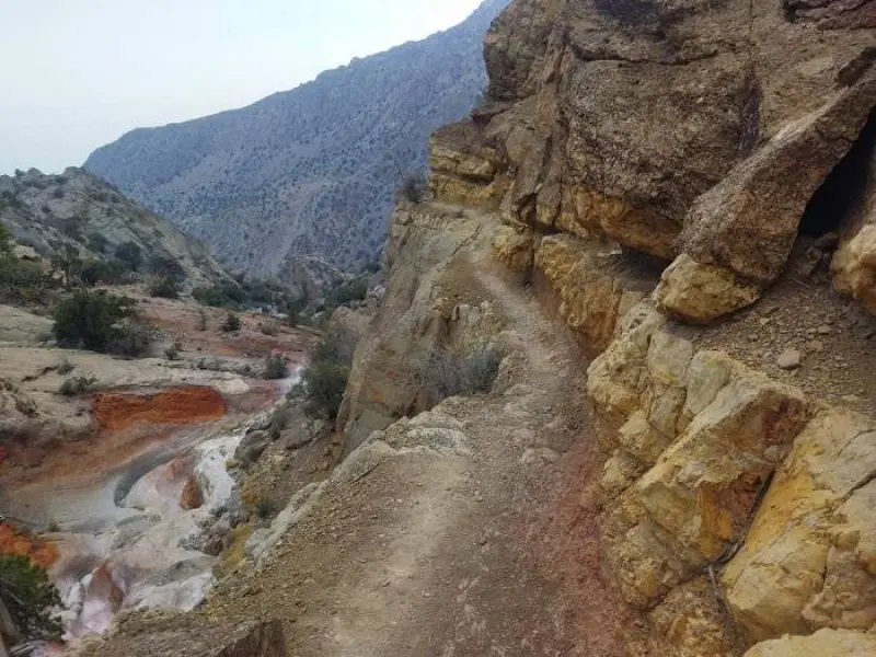
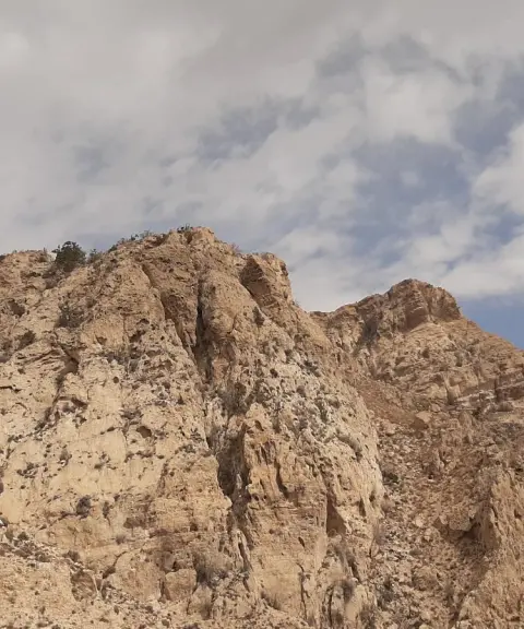
Mount Tashgar, at 3,267 metres, is the highest peak in Iran's Hormozgan Province. Tashgar Peak is the highest point of Mount Homag (also called Homay), which lies 60 km north of Bandar Abbas County and in the southern part of Hajiabad County, and is counted among the highest elevations in Hormozgan Province.
Because of their mountainous terrain, the mountains of the Homag area enjoy a milder climate than the surrounding lowlands. Overall, the climate of the region is hot and dry, while at higher elevations the winters are cold and the summers mild. Precipitation here is also higher than in other parts of Hormozgan Province, with annual rainfall between 300 and 400 mm.
The route is about 9.5 km long. The ascent of Tashgar is not particularly difficult and involves no technical climbing. The trailhead is at an elevation of 1,630 metres, so you need to gain about 1,600 metres to reach the summit. Because of their mountainous terrain, the mountains of the Homag area enjoy a milder climate than the surrounding lowlands. Overall the climate of the region is hot and dry, so the best time to climb this peak is winter.
The routes up this peak include the northern route from Homag and the southern routes from Totang Village and Zakin Village. The most common route to Tashgar Peak is via Zakin Village, in Siahu Rural District of Bandar Abbas County. To reach this village, travel to Bandar Abbas, then head towards Hajiabad, Dargaz Village, Siahu Village and finally Zakin Village.
Written by کیانا دهبندی Last updated
What you can do here, and what it takes
برای صعود به این قله حدودا 9.5 کیلومتر پیمایش در پیش دارید.
Province Hormozgan
Province Hormozgan
Province Hormozgan
Province Hormozgan
Province Hormozgan
Province Hormozgan




Unfortunately, no comments have been registered.