
 Mountain

Manesht and Ghalarang Protected Area
Province Ilam
- Walking
- Mountaineering
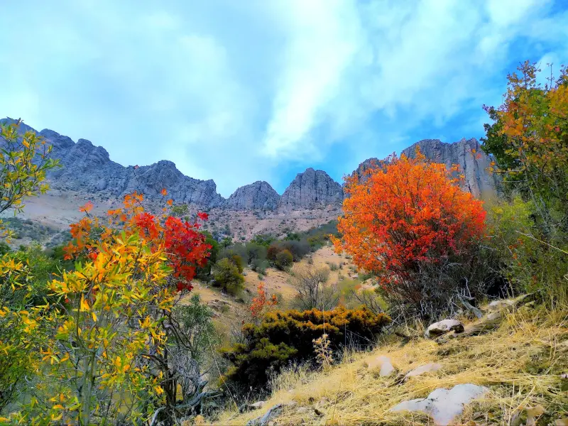
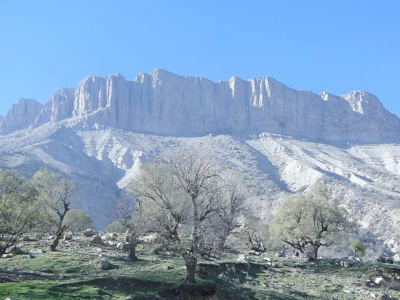
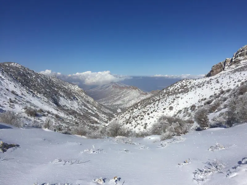
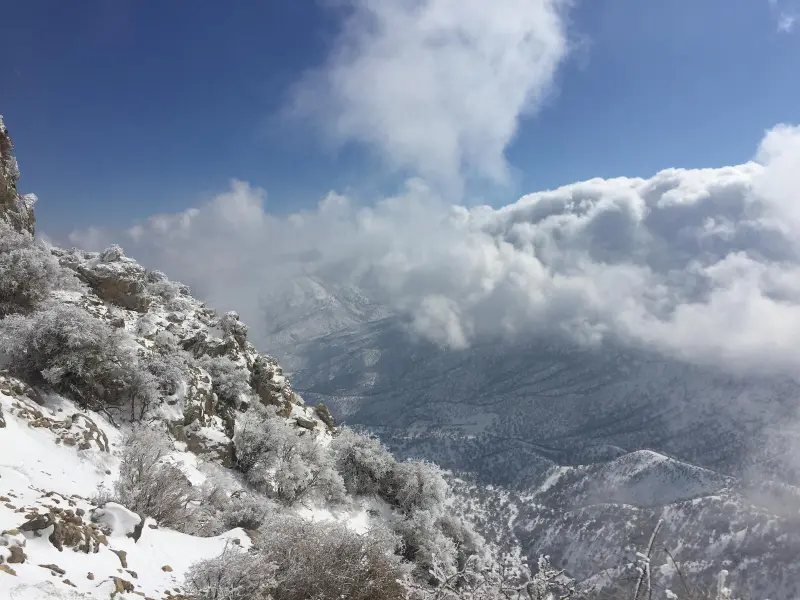
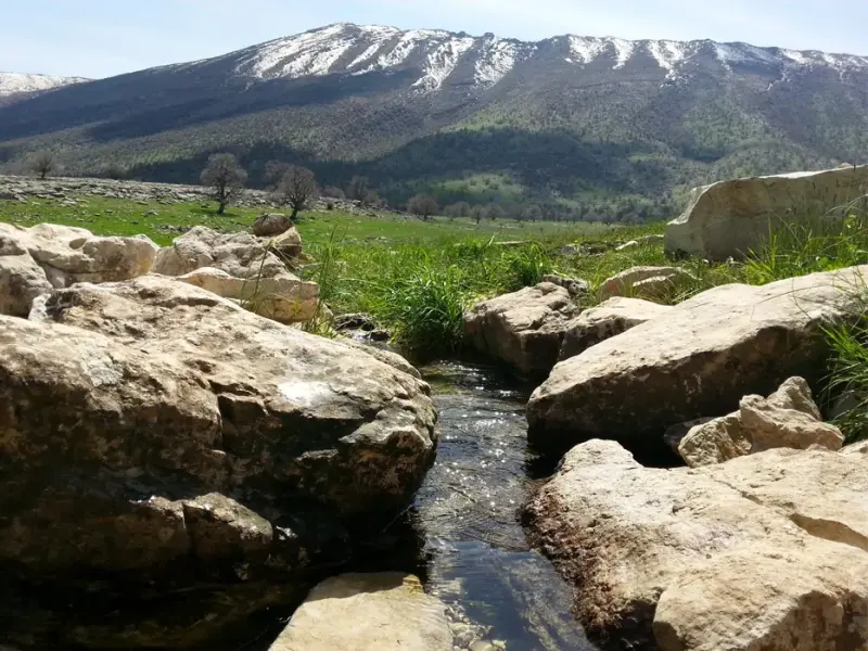
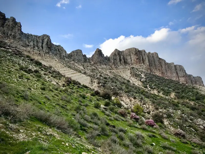
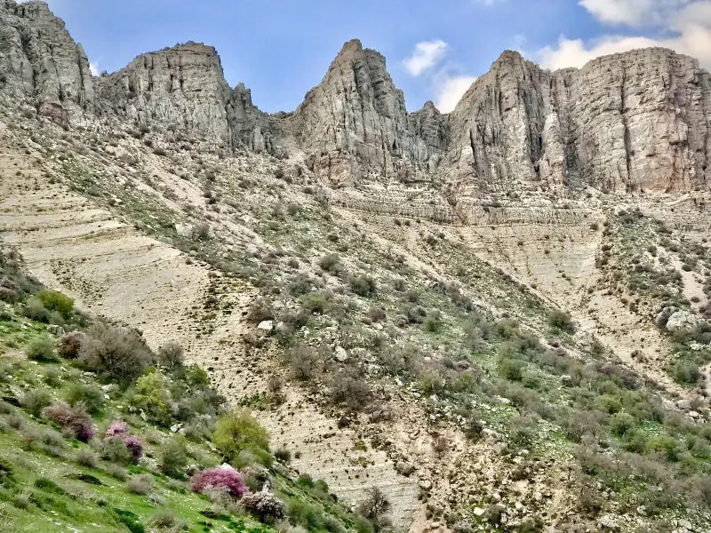
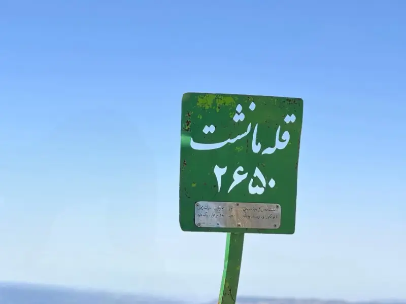
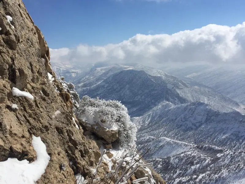
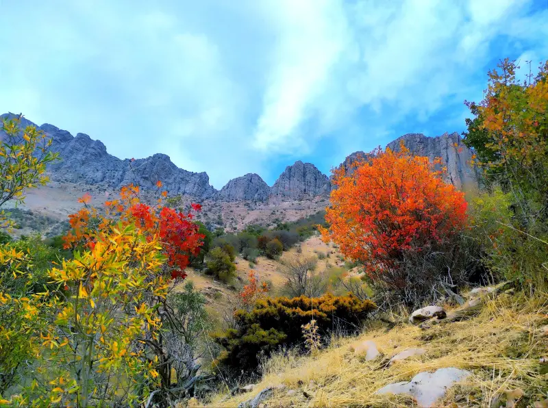
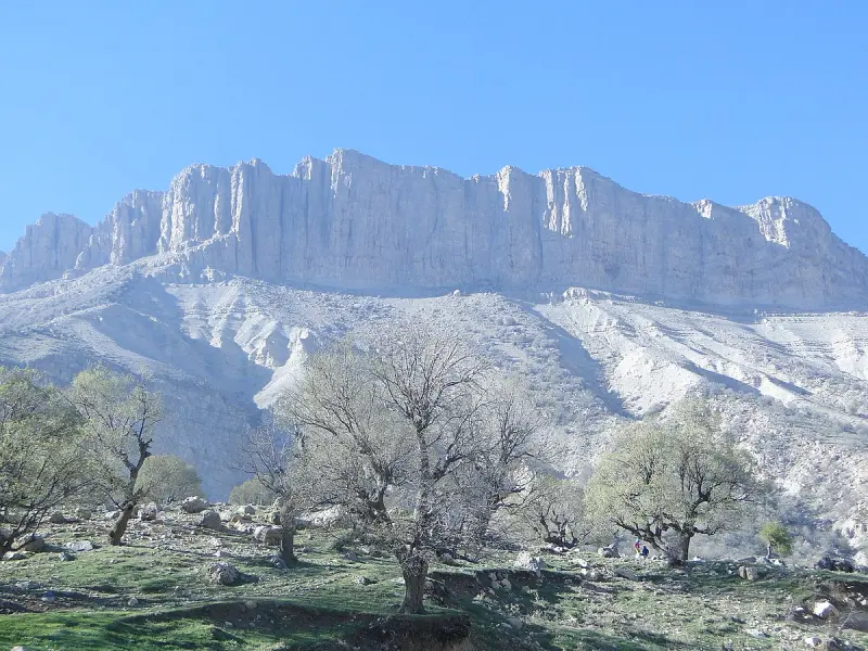
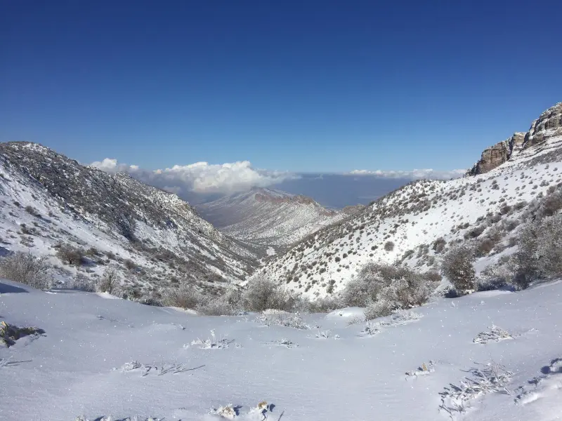
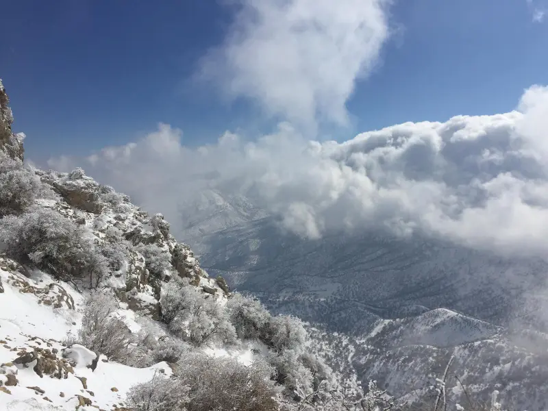
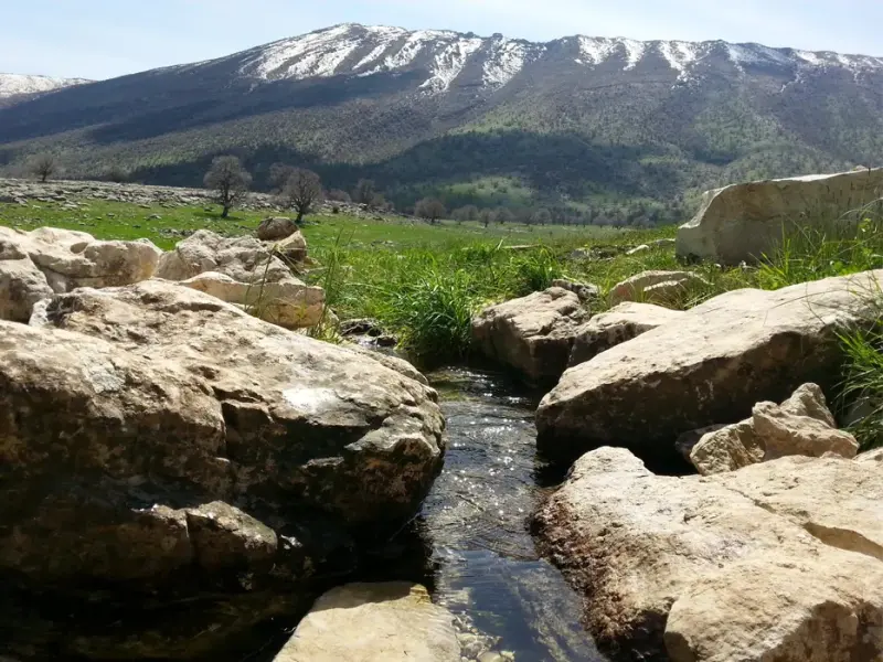
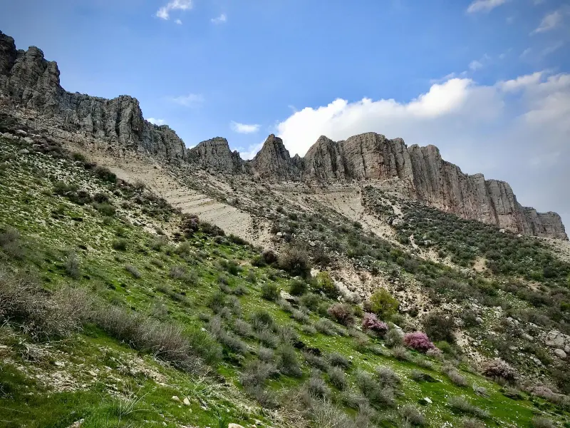
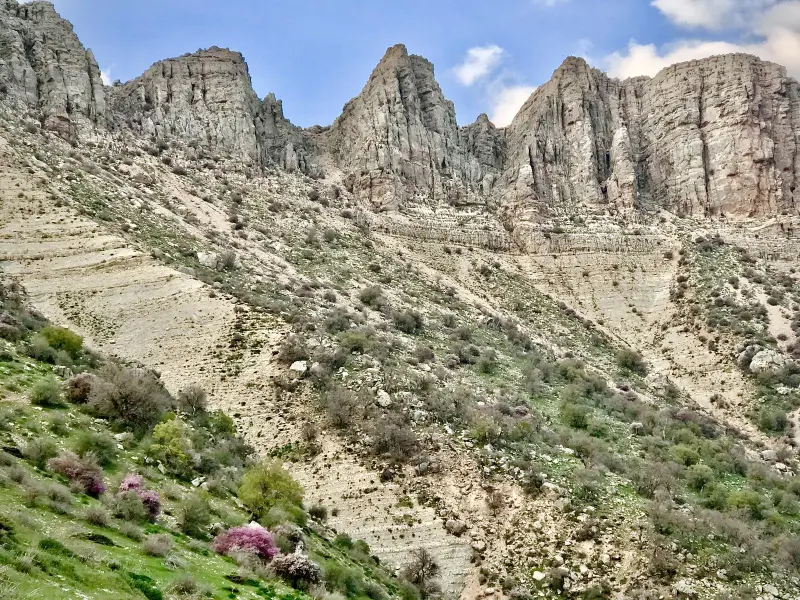
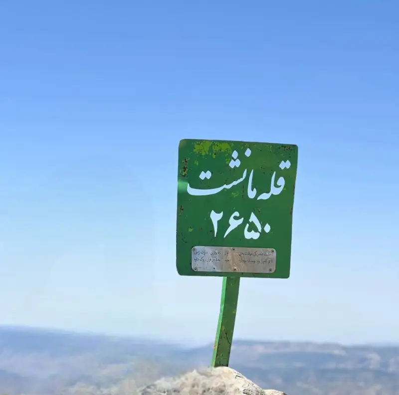
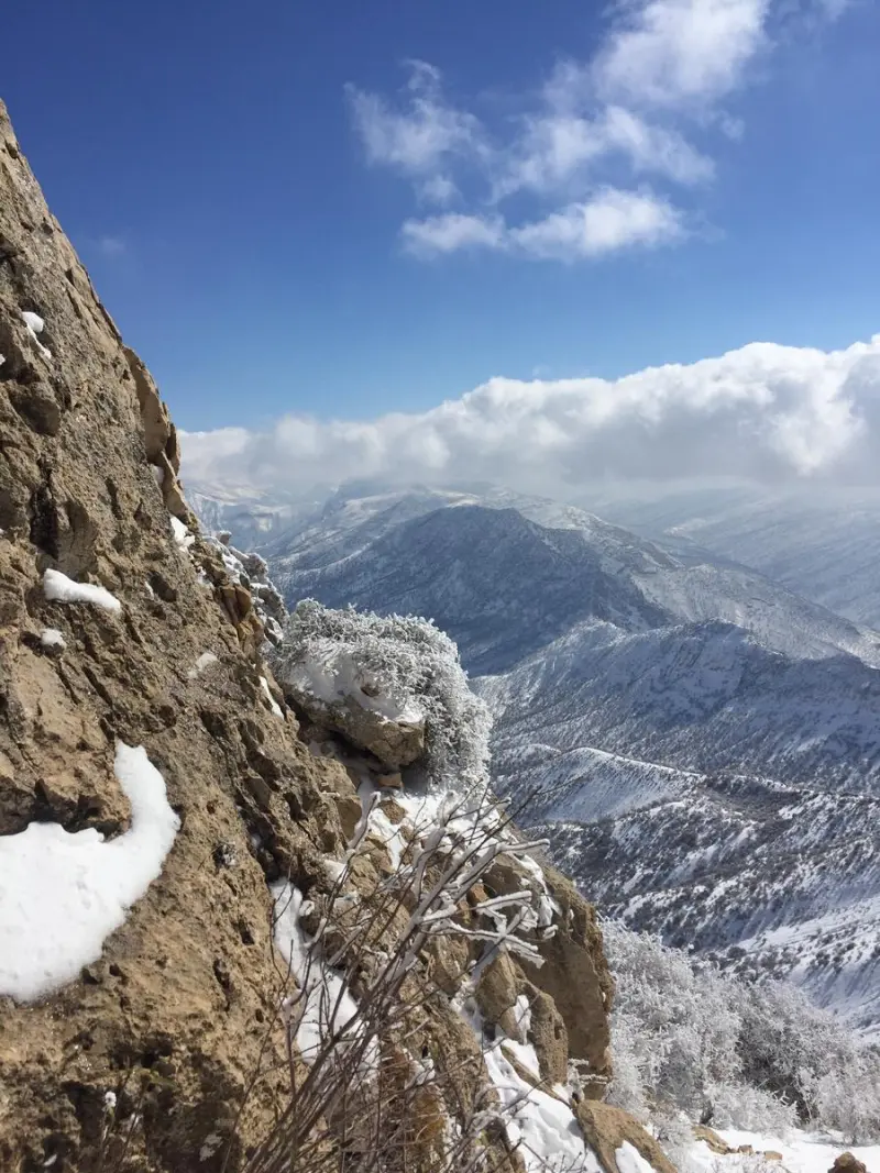
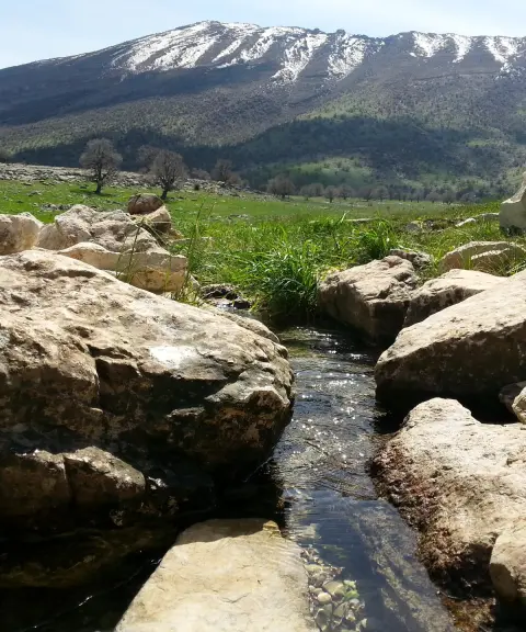
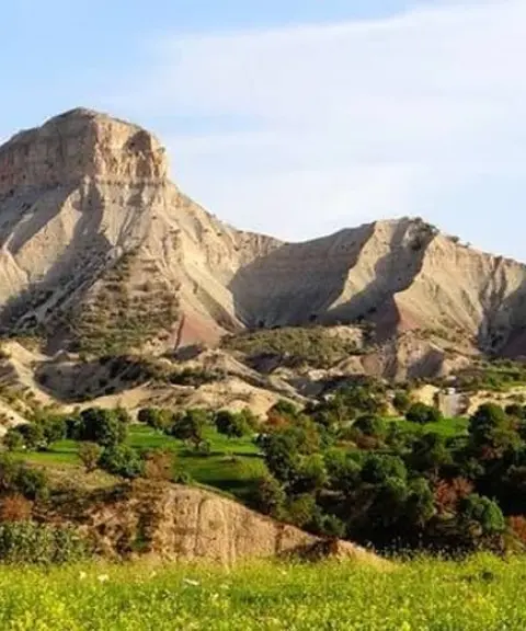
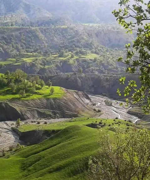
Manesht Peak is one of the most prominent mountains in Ilam Province in western Iran. It lies in the Karezan district, close to the city of Ilam. The peak is part of the folds of the Zagros mountain range, and thanks to its particular geographic position it has a lush, scenic appearance. Its height is reported at between about 2,629 and 2,650 metres above sea level, which places it among the notable peaks of the region. Manesht Peak is located about 6 kilometres northeast of the city of Ilam. It is bordered by Eyvan to the north and by Ilam County to the south, and it offers a pristine view of forested, mountainous nature.
Manesht Peak is known not only for its height, but also for its abundant forest cover, the rivers that rise on its slopes, and the natural caves around it, including Telesm Cave, Khormagzan and Shah Afdalan. The area is home to a variety of native plant and animal species and offers visitors a diverse range of natural attractions. Rivers such as the Asa Zangan and the Murt rise on the slopes of this mountain and add to the greenery of the landscape. Parts of the slopes overlooking the rivers offer fine viewpoints over the mountain scenery. In every season, and especially in spring and early summer, the freshness of the vegetation invites travellers to visit.
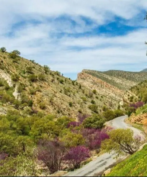
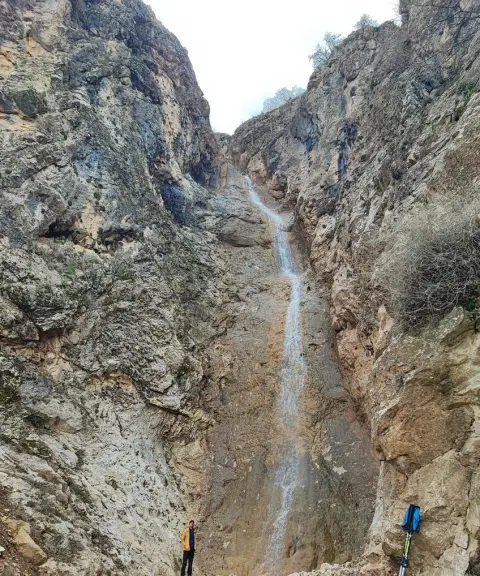
There are several access routes to Manesht Peak, suitable for mountaineering and nature tourism. One of the common routes passes behind the Dalahu Tunnel and is particularly striking in spring, with its stunning natural scenery. The trek to the summit is usually done within one full day and requires equipment suited to moderate mountaineering. The best time to visit the peak is spring and early summer, when the weather is mild and the vegetation is at its most beautiful. Responsible nature tourism in this area means taking your own litter with you, respecting wildlife, and not lighting fires on the forested slopes, so that this valuable ecosystem remains healthy and well preserved.
Written by ستایش عرب Last updated
What you can do here, and what it takes
مسیرهای پاکوب متنوع تا قله و دامنهها بهویژه از مسیر پشت تونل دالاهو برای کوهنوردی تفریحی و متوسط مناسب هستند.
مسیرهای جنگلی اطراف دامنهها مناظری زیبا برای پیادهروی سبک و مشاهده پوشش گیاهی فراهم میکنند.
غارهای طبیعی مانند غار طلسم و خورمگزان فرصت اکتشاف و ماجراجویی در دل کوهستان را به علاقهمندان میدهند.
Province Ilam
Province Ilam
Province Ilam




Unfortunately, no comments have been registered.