
 Mountain
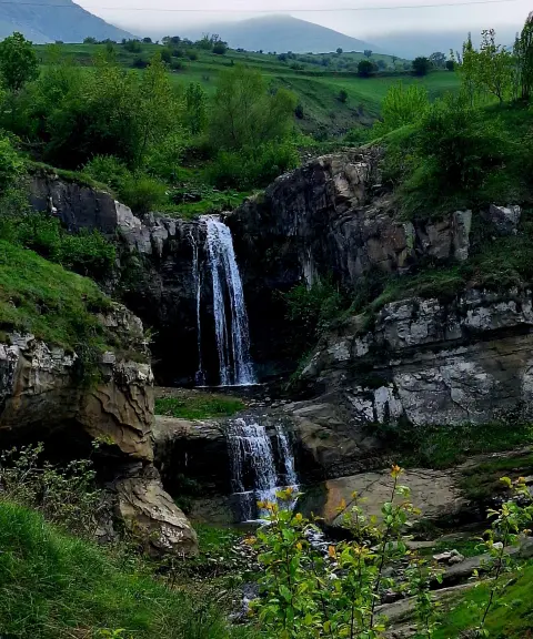
Hasht Sar Peak
A Steadfast Summit in the Mountains of East Azerbaijan
- Mountain
- East Azerbaijan, Ahar
- Altitude 2,950 m
- Ability level Intermediate
- Routes 1 recorded route
Ability level:
Intermediate
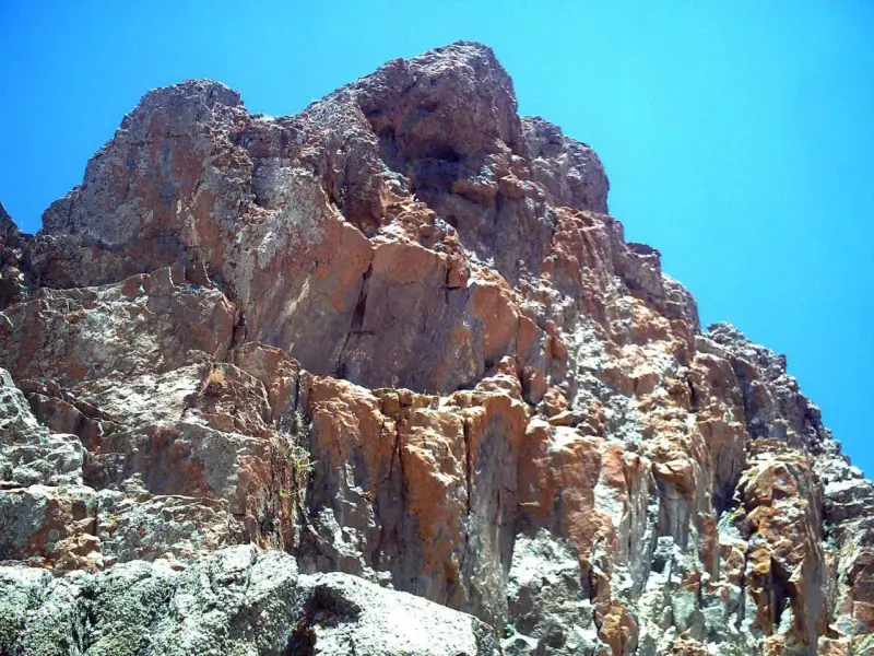
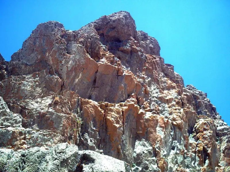
Hasht Sar Peak (known locally as "Hashtsar" or "Hashtad Sar") is one of the most striking and well-known heights in the northeast of Ahar County, East Azerbaijan Province, Iran. It lies southwest of the town of Hurand and southeast of the town of Kaleybar. Thanks to its prominence, shape and considerable height, the mountain is regarded as a symbol of the loftiness and strength of the region's mountain landscape. It stands in an ancient and scenic part of East Azerbaijan that offers abundant natural vegetation and a pristine ecosystem.
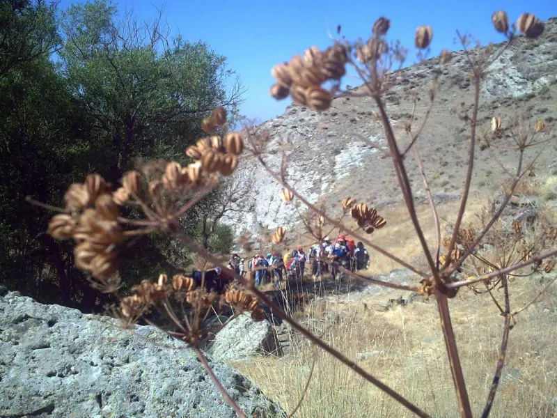
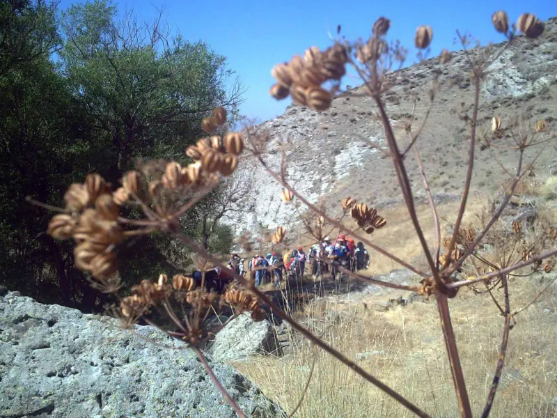
At its highest point, Hasht Sar Peak rises to about 2,950 metres above sea level, and most of the mountain's many summits exceed 2,800 metres, placing it among the region's high and spectacular mountains. The mountain trails around the peak pass through valleys and green landscapes, with springs along the route at higher elevations and a varied ecosystem of plants and wildlife that appeals to climbers and nature lovers.
To reach Hasht Sar Peak, you usually leave the Ahar–Kaleybar road onto side roads, then head towards the various villages of the area (such as Kal Olya, Gavar, Niq, Arabshah, Tazkand and others) and climb from the foothills along clearly marked footpaths to the summit ridge. The best time to visit is usually from spring to early autumn, when the mountain weather is milder and travelling and walking on the trails is safer. During your visit, it is essential to follow the principles of responsible nature tourism: stay on the trail, carry out your own litter, respect the environment, and avoid harming the area's plants and animals.
Written by ستایش عرب Last updated
Activities
What you can do here, and what it takes
-
Mountaineering
مسیرهای پاکوب از دامنهها برای صعود تفریحی تا نیمهحرفهای مناسب هستند.
Specifications
Introduction of the location and specifications of Hasht Sar Peak
Location:
East Azerbaijan, Ahar, Koholi Village (Kal Olya)
Coordinates:
38.82232350, 47.22181320
Open in maps
Height above mean sea:
2950 meter
Floras:
Semi-humid mountain climate
Faunas:
Presence of Predatory Animals, Presence of Herbivorous Animals
Transports:
Private car, Walking, Minibus, Bus
Tourist Attractions in Ahar
Attractions that are nearby

Tak-Chay Waterfall
Province East Azerbaijan
- Walking
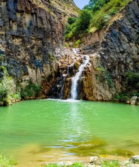
A pristine waterfall in the lush nature of Arasbaran
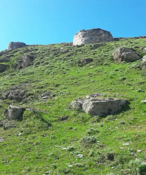

Peyghām Castle
Province East Azerbaijan
- Walking
- Mountaineering
An ancient fortress high in the mountains of Kaleybar
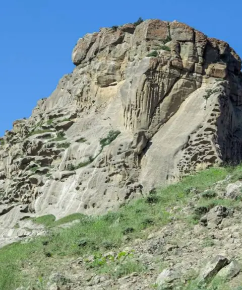
Poshtu Castle
Province East Azerbaijan
- Walking
An ancient fortress in the heart of the Hurand mountains
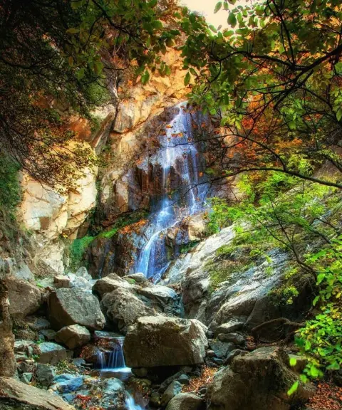
Golosang Waterfall
Province East Azerbaijan
- Walking
A Cool Stream in the Heart of the Arasbaran Forests
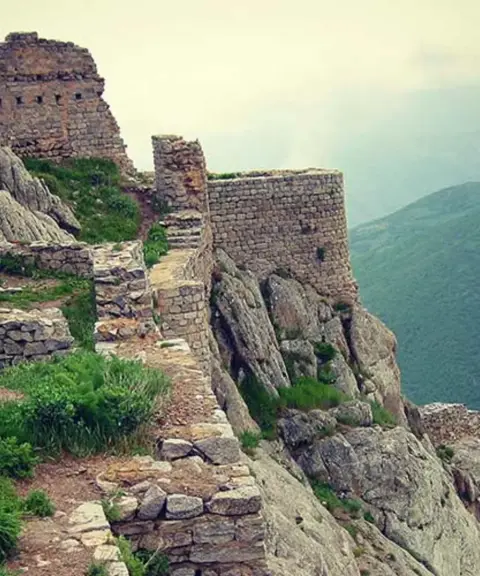
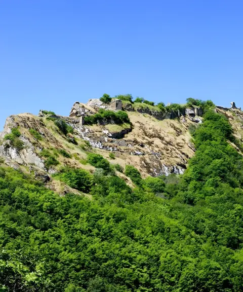
Avarsin Castle
Province East Azerbaijan
- Walking
- Mountaineering
A Sassanid stone fortress in the heart of the Khoda Afarin highlands
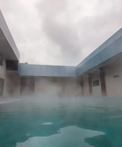

Motallegh Hot Spring
Province East Azerbaijan
- Walking
- Swimming
Unfortunately, no comments have been registered.