
 Mountain
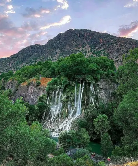
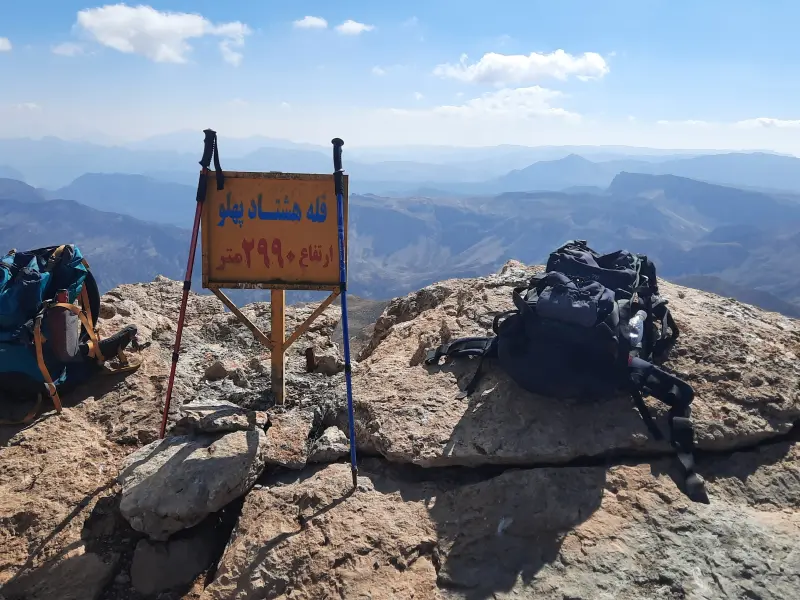
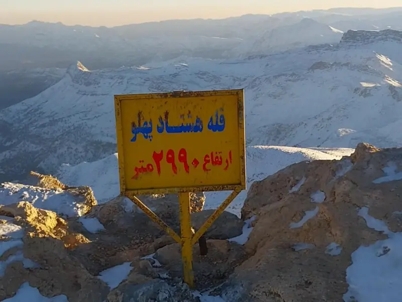
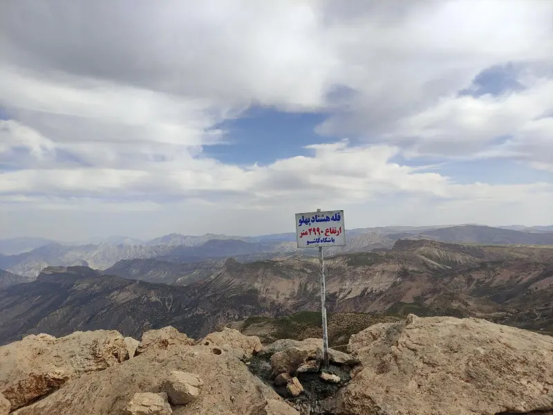
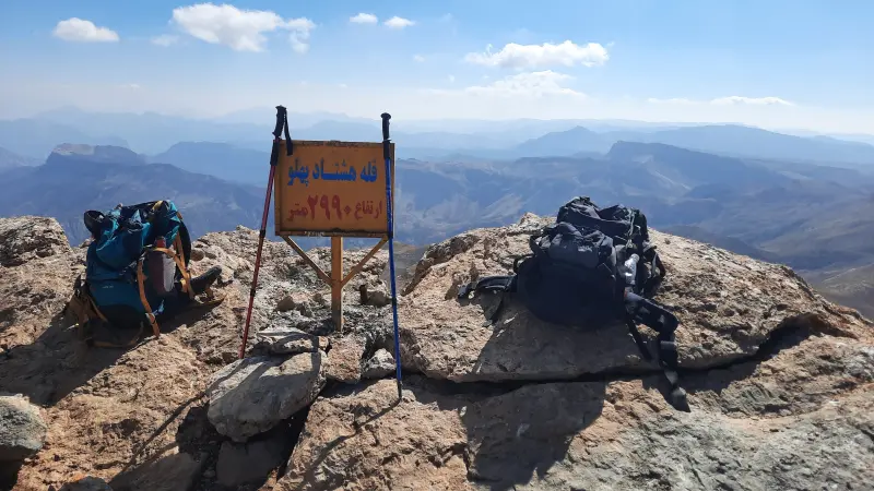
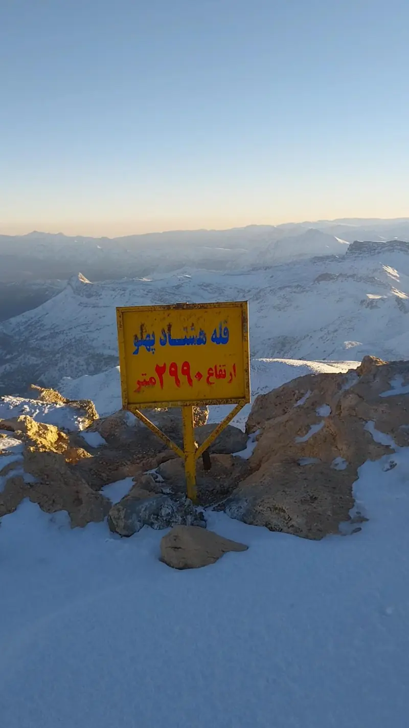
Hashtad Pahlu Peak
A striking landmark in the Zagros Mountains of Lorestan
- Mountain
- Lorestan, Khorramabad
- Altitude 2,990 m
- Ability level Intermediate
- Routes 1 recorded route
Ability level:
Intermediate
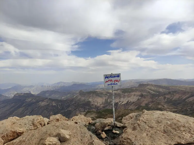
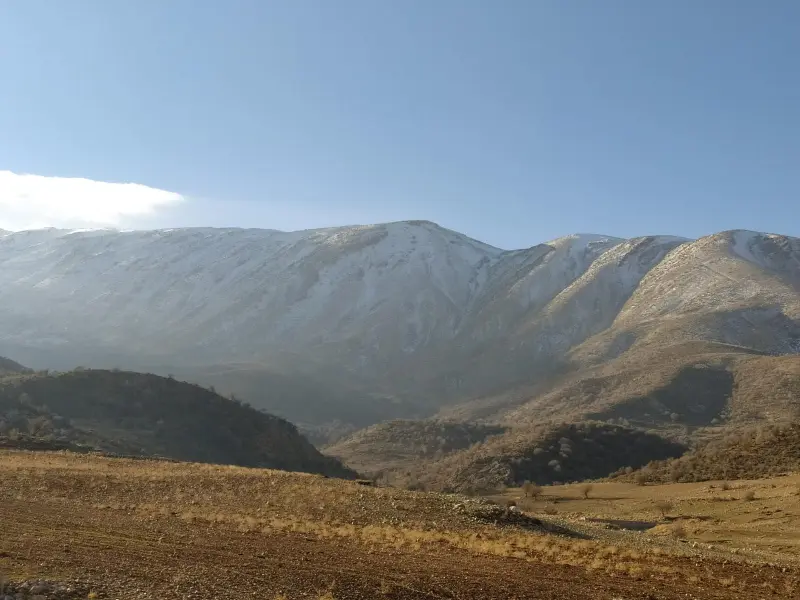
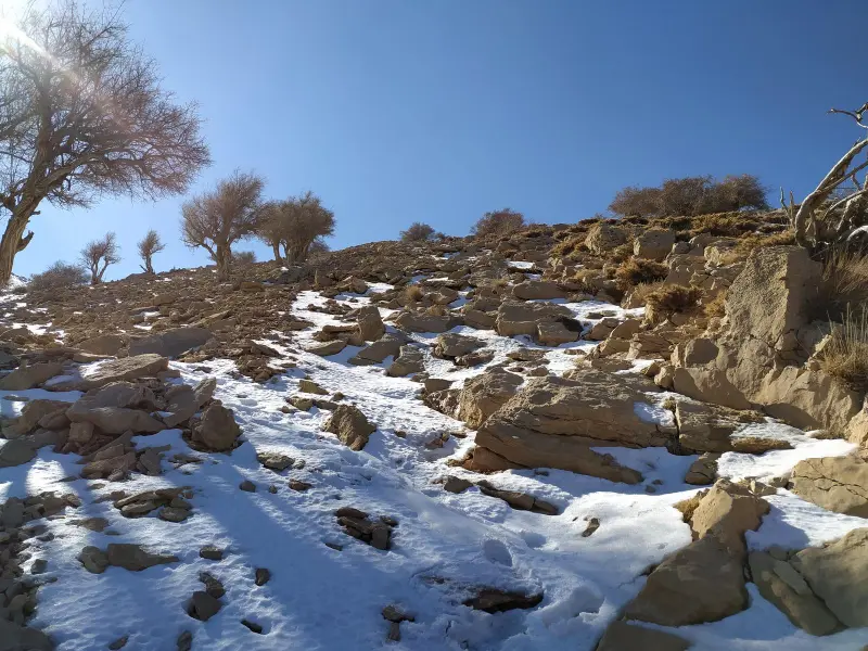
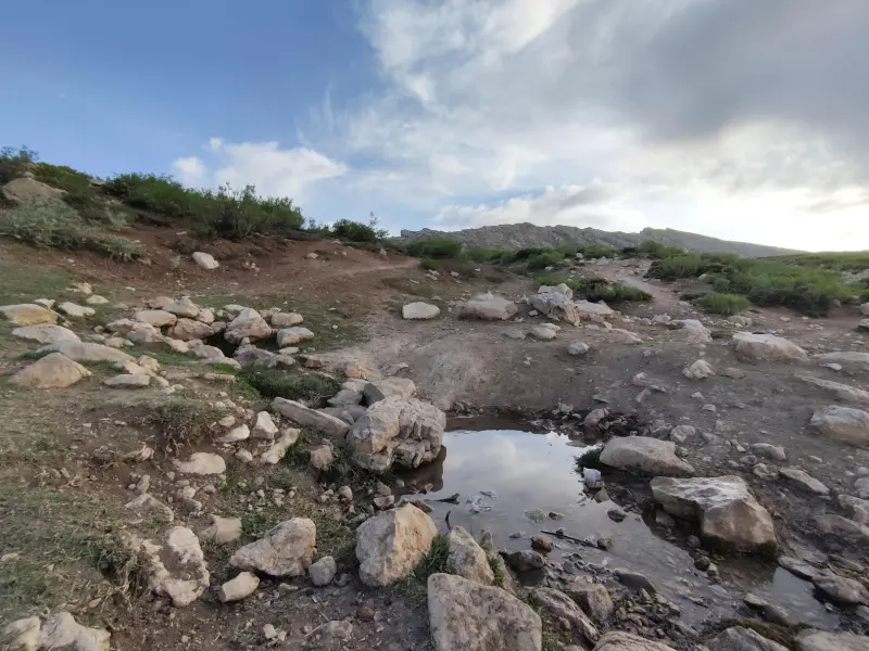
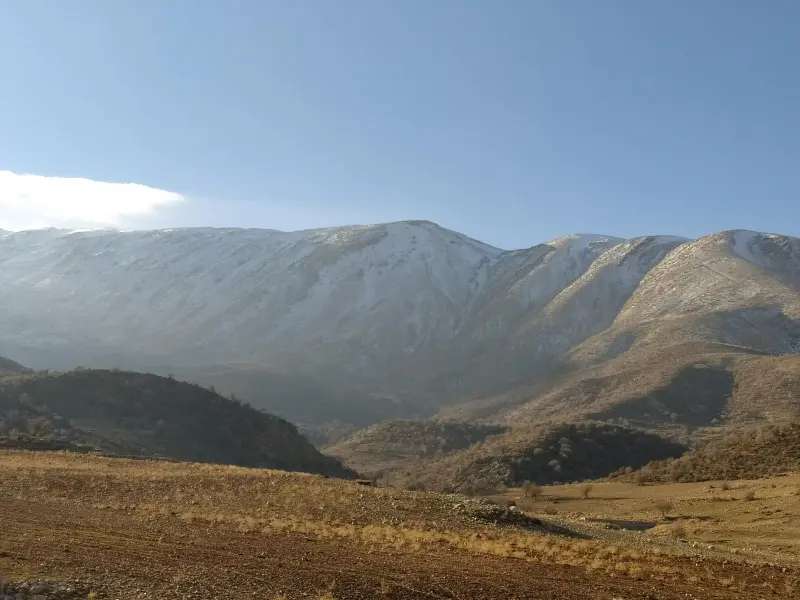
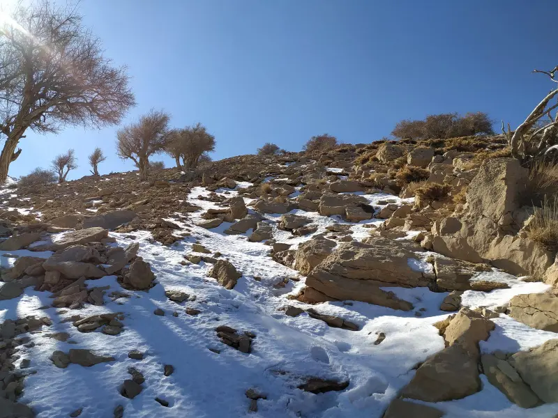
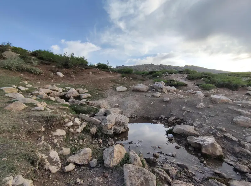
Hashtad Pahlu Peak is one of the most prominent summits in the southwest of Lorestan Province, near Khorramabad. The mountain is part of the Zagros range, and its name comes from the interesting, long shape of its ridgeline, which looks as if it has "eighty sides" (hashtad pahlu). It is a wild, unspoiled natural spot for lovers of mountaineering and mountain nature tourism. Set in the heart of the Zagros, one of Iran's most important mountain ranges, the peak offers beautiful views of the surrounding highlands and valleys, and at higher elevations you will also find notable vegetation and seasonal water sources.
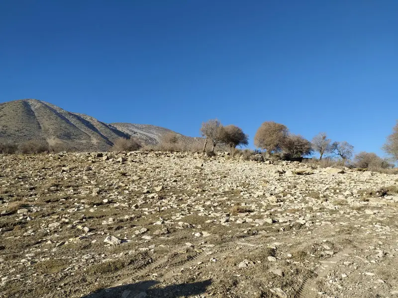
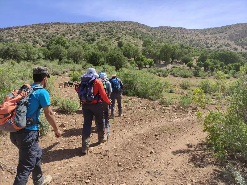
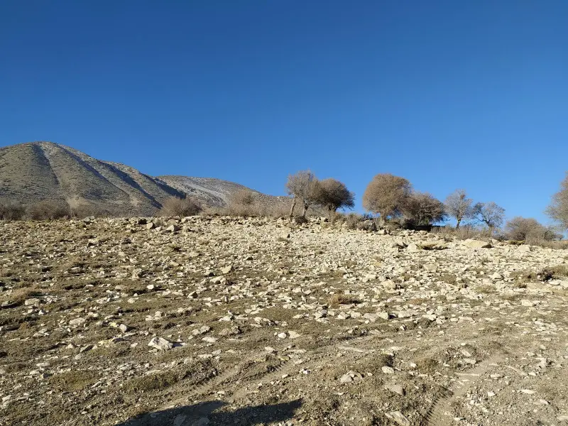
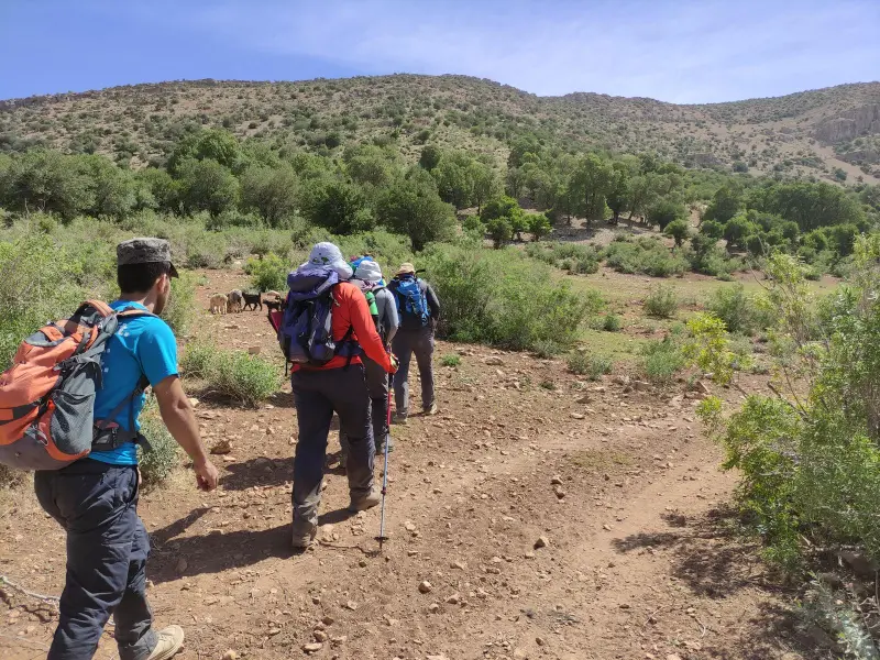
At an elevation of around 2,990 to 3,000 meters above sea level, Hashtad Pahlu is an attractive destination for intermediate to advanced climbers. The area is mountainous, and its slopes and ridges support a varied plant cover, including rangeland plants, wild shrubs and bushes adapted to the Zagros climate. Climbing routes usually start from the surrounding villages, and along the way you will come across natural springs, clear trails and wide-open views, making for an enjoyable experience for both travelers and climbers.
To reach Hashtad Pahlu Peak, you usually take the Khorramabad–Andimeshk Freeway toward Khorram Zal, then continue onto dirt and village side roads, such as the road to the village of Sarchak Dadabad, which is the starting point of the trek to the summit. Parts of the route are unpaved, so it is recommended to travel with an off-road vehicle or suitable equipment. The best season to climb this peak is from spring to early autumn, when the weather is favorable and the trail is dry or only slightly slippery. Responsible nature tourism means not leaving any litter, respecting plant and animal species, and carrying standard mountaineering equipment so that the mountain ecosystem is preserved.
Written by ستایش عرب Last updated
Activities
What you can do here, and what it takes
-
Mountaineering
مسیرهای پاکوب و خطالراس قله برای کوهنوردان با تجربه مناسب هستند.
Specifications
Introduction of the location and specifications of Hashtad Pahlu Peak
Location:
Lorestan, Khorramabad
Coordinates:
33.22490309, 48.40988148
Open in maps
Height above mean sea:
2990 meter
Floras:
Semi-humid mountain climate
Faunas:
Presence of Predatory Animals, Presence of Herbivorous Animals
Transports:
Private car, Walking, Minibus, Bus
Tourist Attractions in Khorramabad
Attractions that are nearby

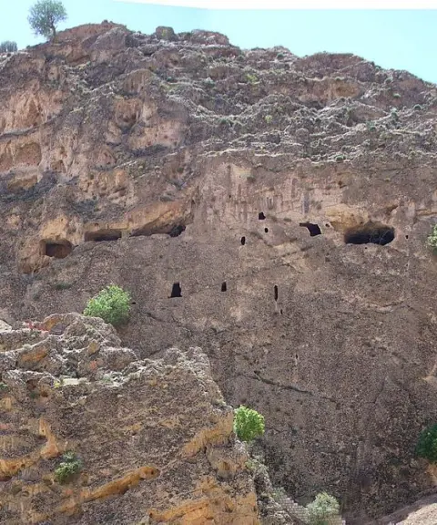

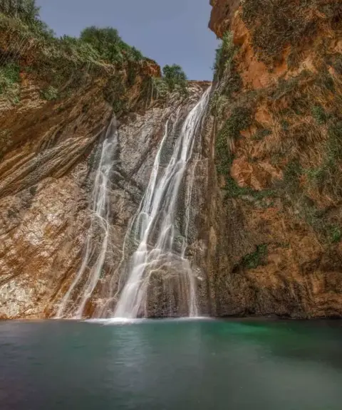
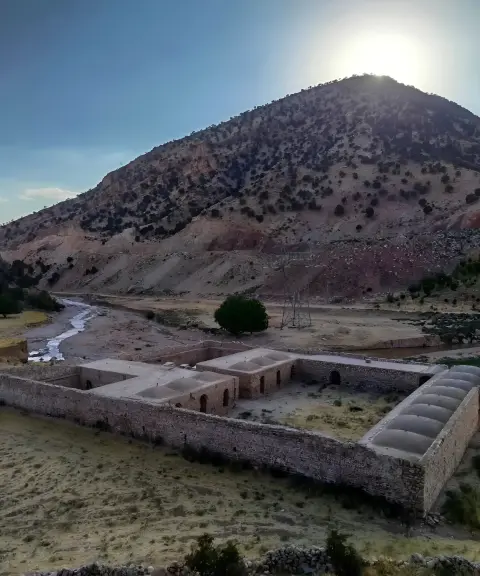

Chamshak Caravanserai
Province Lorestan
- Walking
A Safavid Legacy on the Ancient Route from Lorestan to Khuzestan
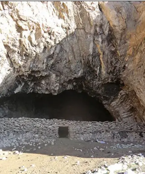
Konji Cave
Province Lorestan
- Caving
- Walking
One of the Most Spectacular Natural Attractions of Lorestan
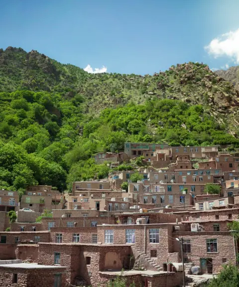
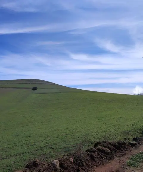

Silakhor Plain
Province Lorestan
- Walking
A fertile expanse with a history of several thousand years in the heart of Lorestan
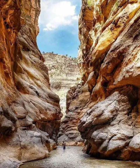

Helat Gorge
Province Lorestan
- Walking
- Canyoning
- Rock Climbing
- Swimming
Unfortunately, no comments have been registered.