
 Mountain
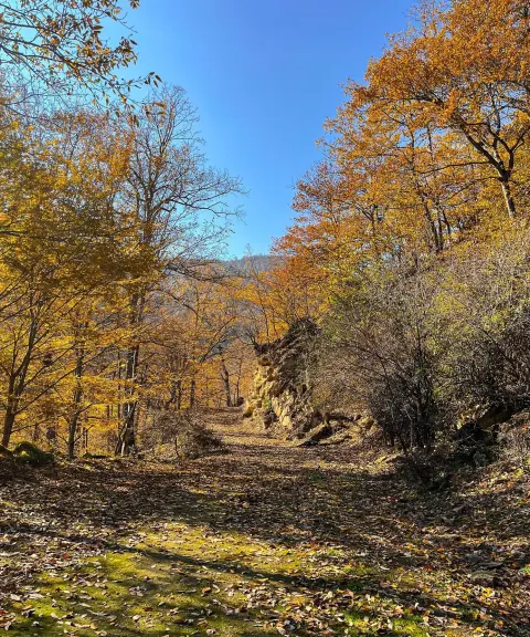
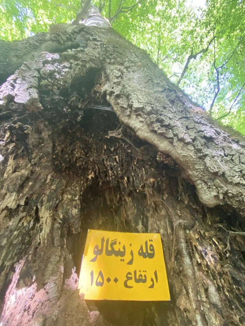
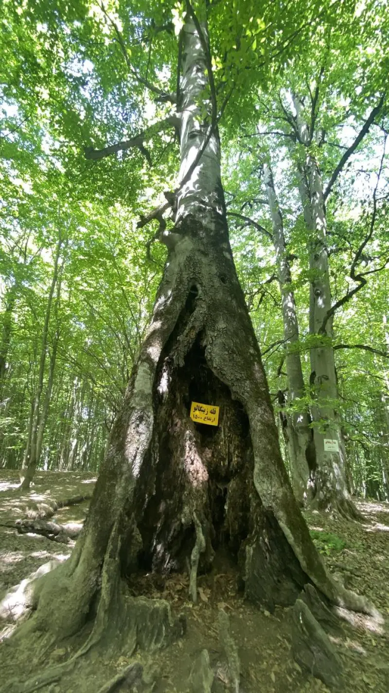
Zingalu Forest Peak
The green jewel of Savadkuh for climbers and nature lovers
- Mountain
- Mazandaran, Zirab
- Altitude 1,500 m
- Ability level Intermediate
- Routes 1 recorded route
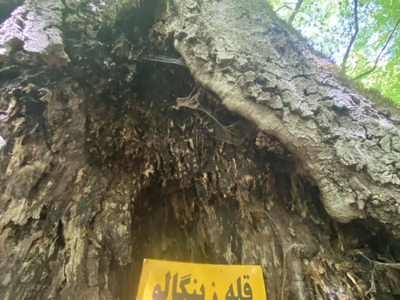
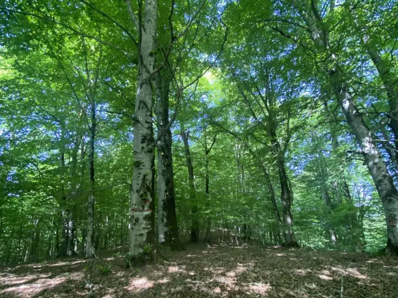
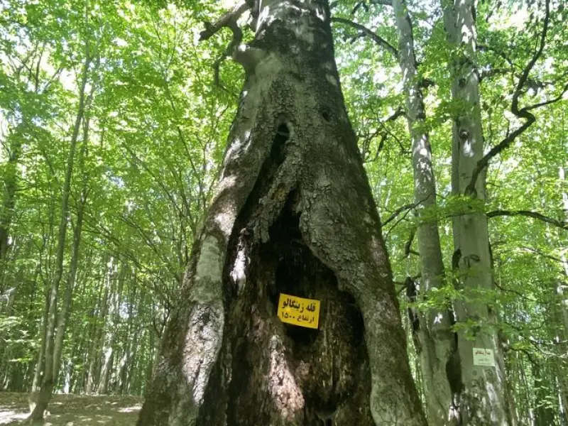
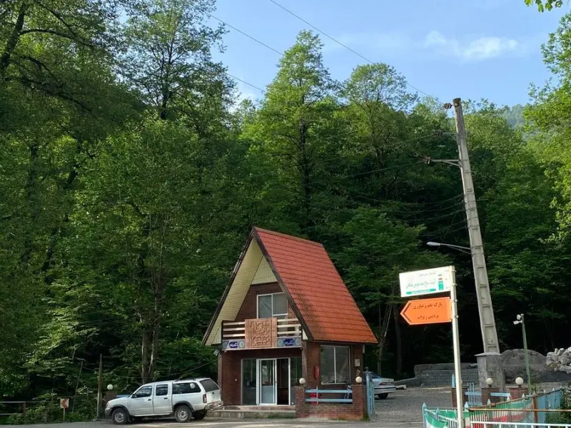
Ability level:
Intermediate
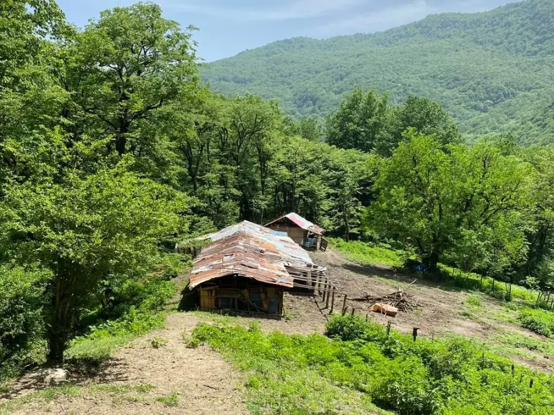
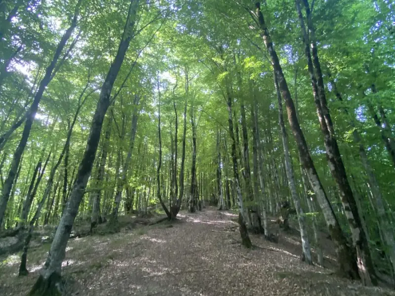
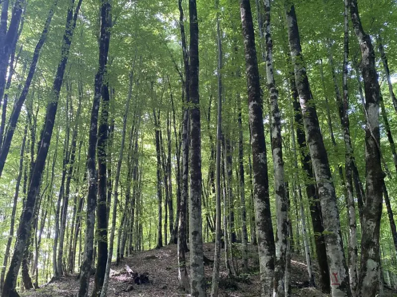
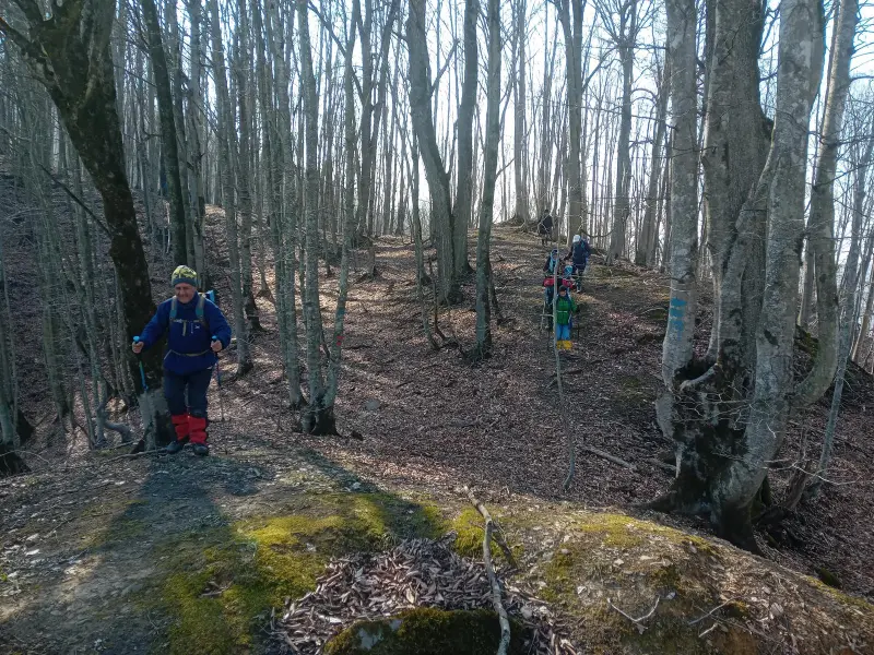
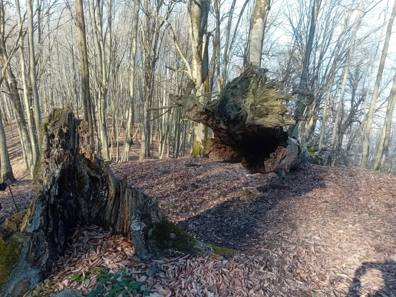
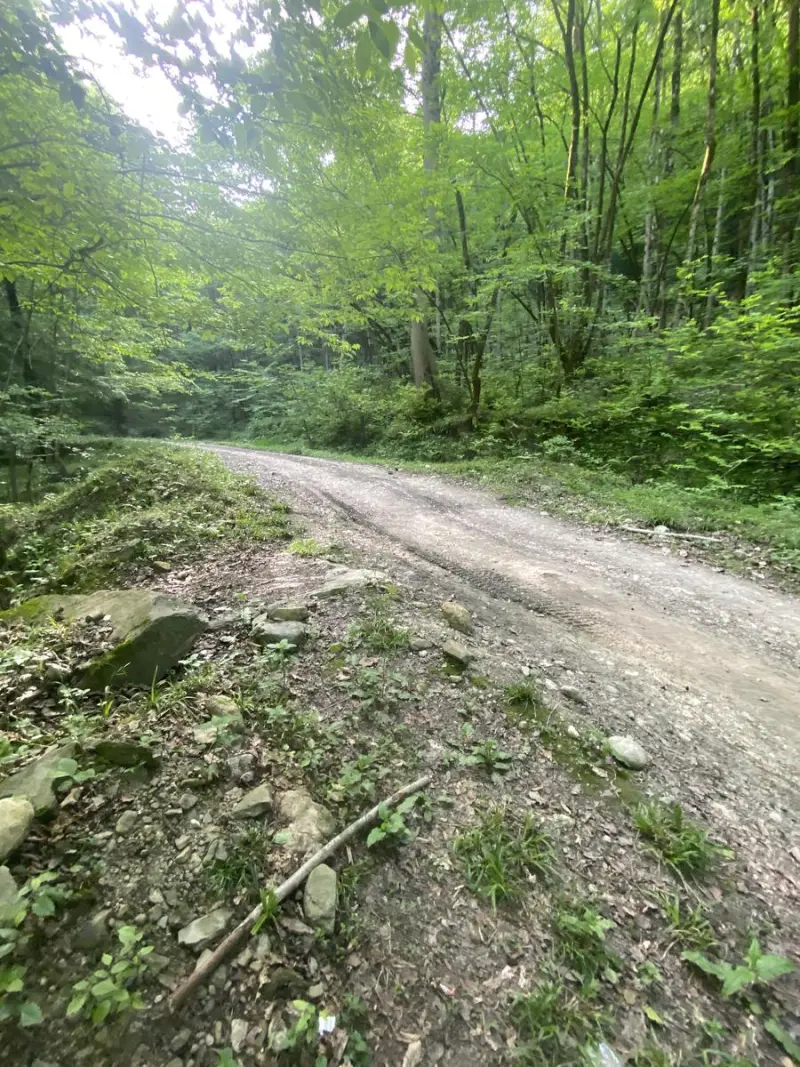
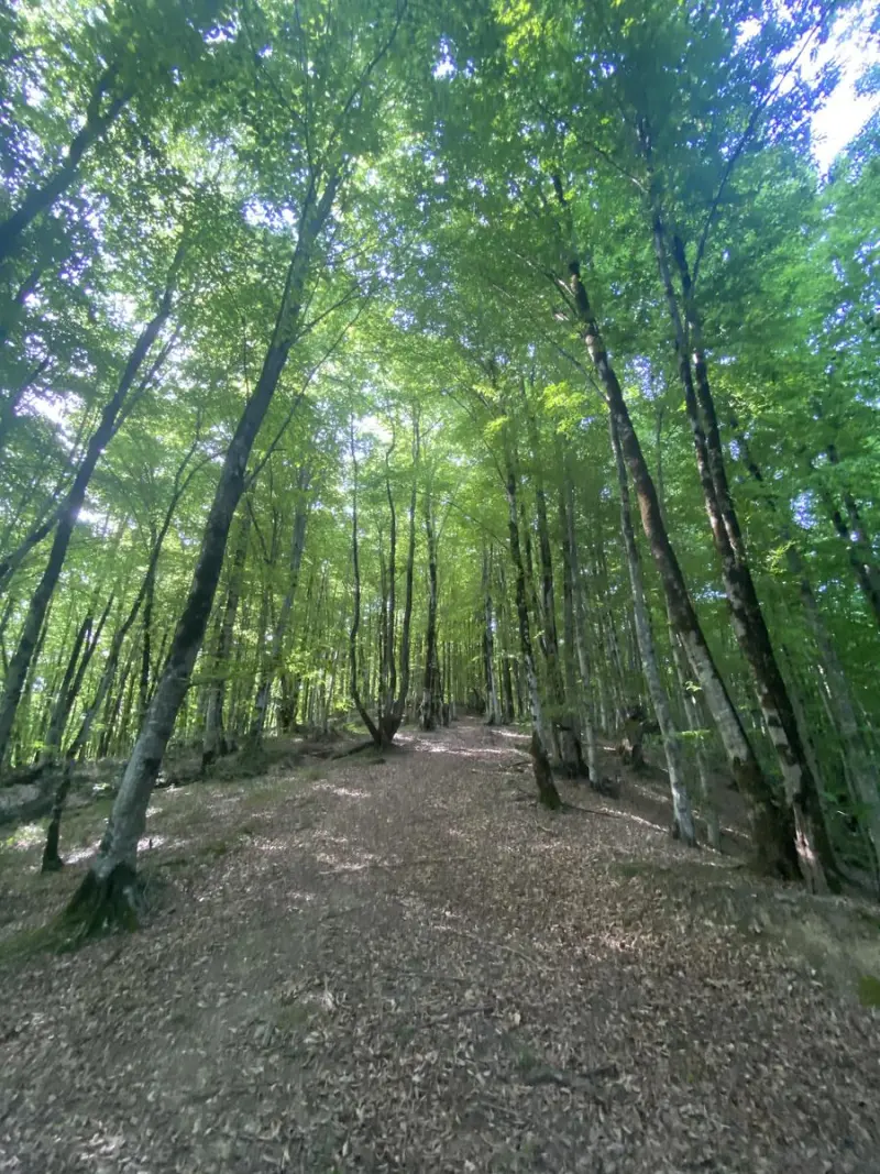
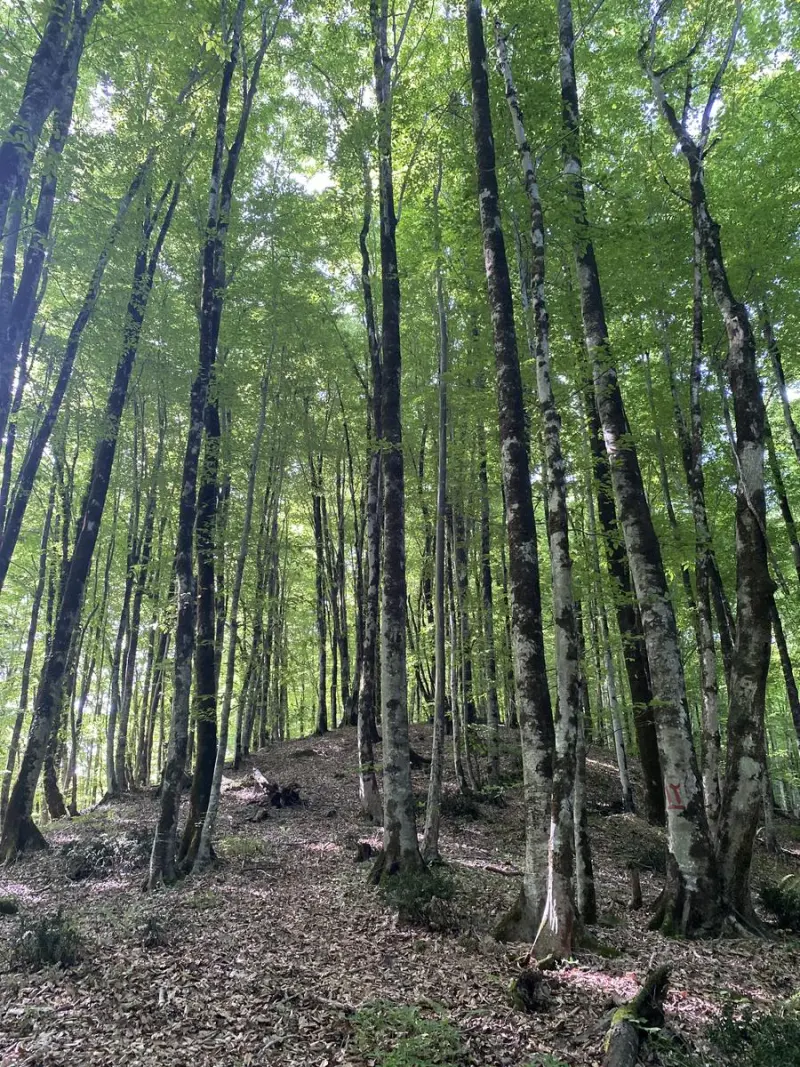
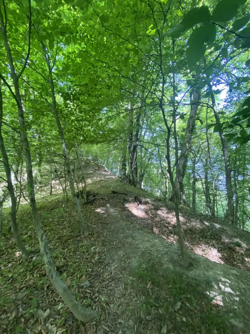
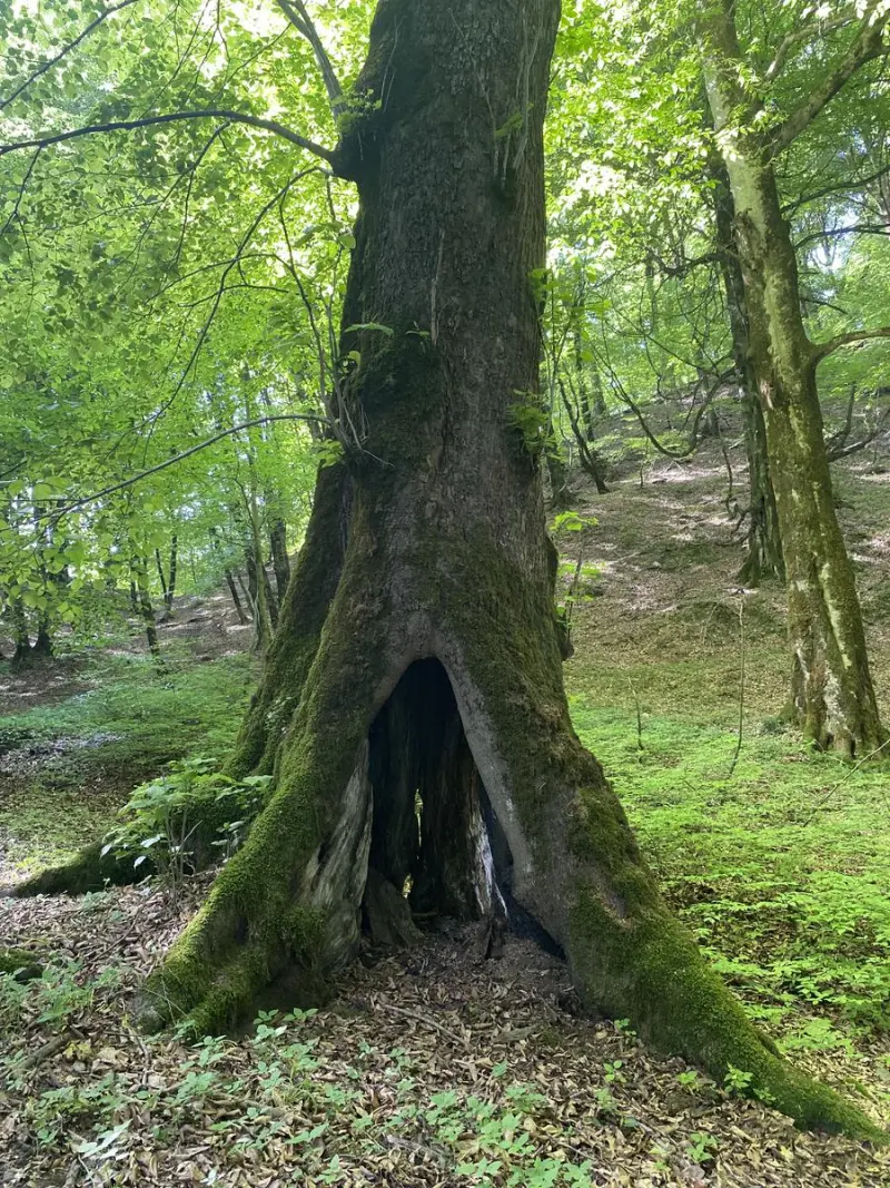
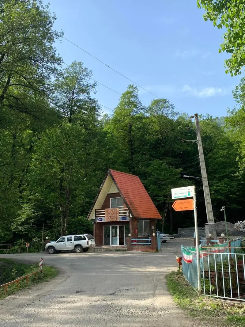
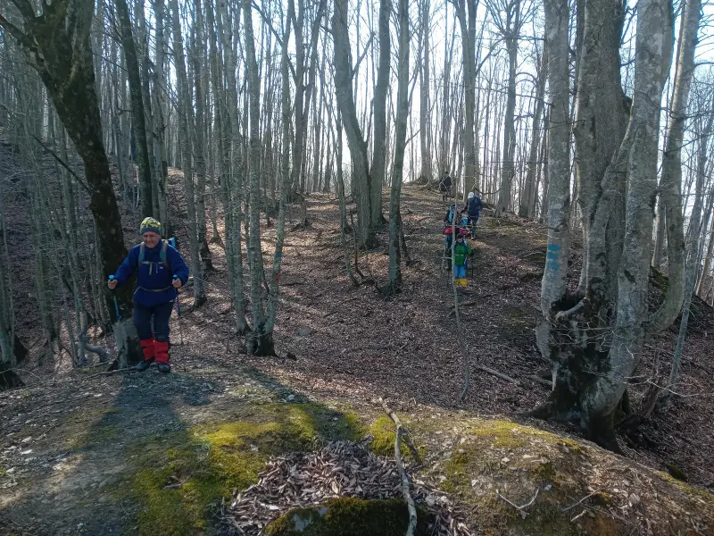
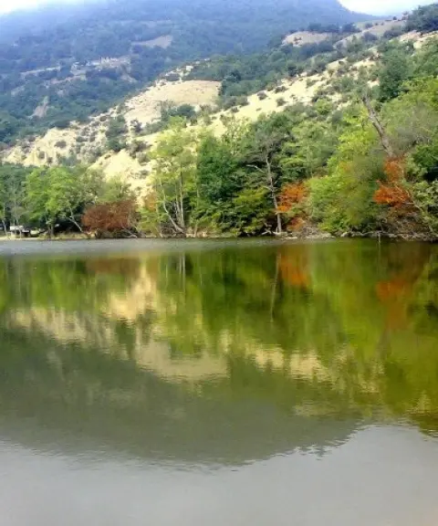
Zingalu Forest Peak is one of the lesser-known but highly appealing natural attractions of the Savadkuh region in Mazandaran Province. Located near the town of Zirab, it is known as a forest and mountain destination for hiking and mountaineering enthusiasts. The peak lies in the heart of the dense forests of northern Iran and offers a pristine view of forest blended with mountain heights. Its trails and forest landscapes are beautiful in every season, making it possible to experience nature in a pure forest setting. The summit stands at about 1,500 metres above sea level, and the ascent is considered suitable for groups with an intermediate level of fitness.
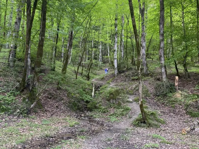
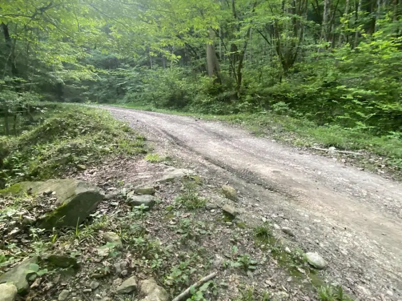
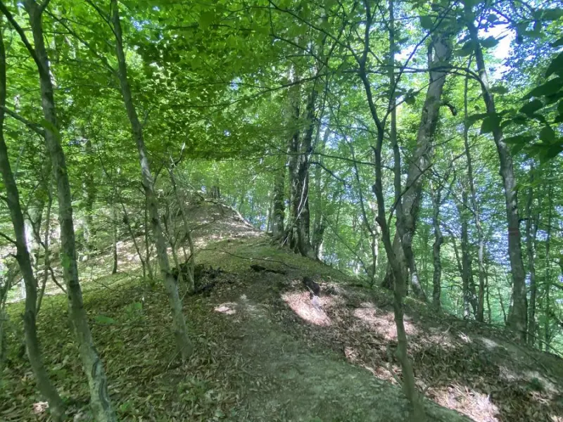
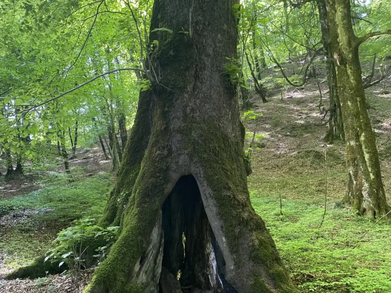
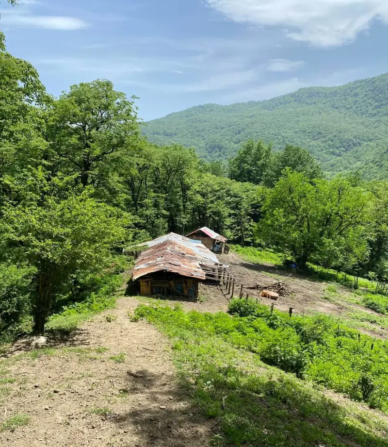
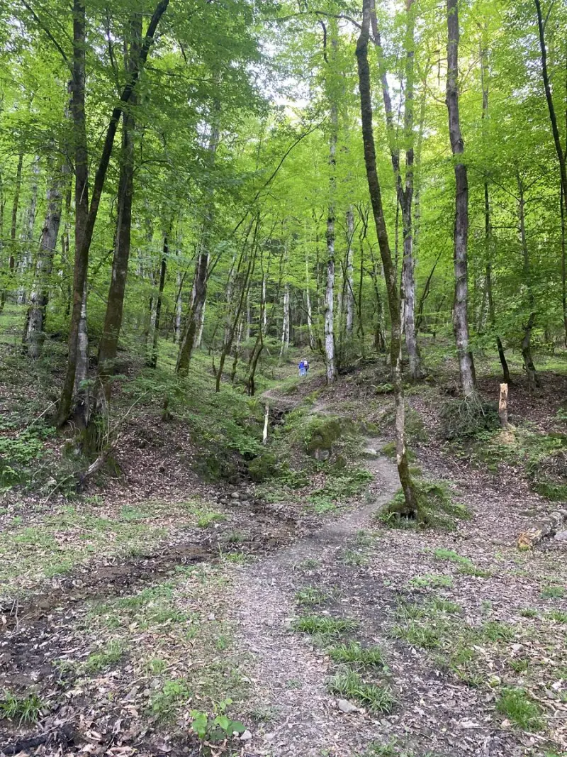
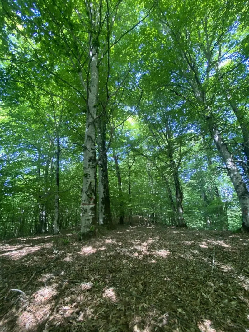
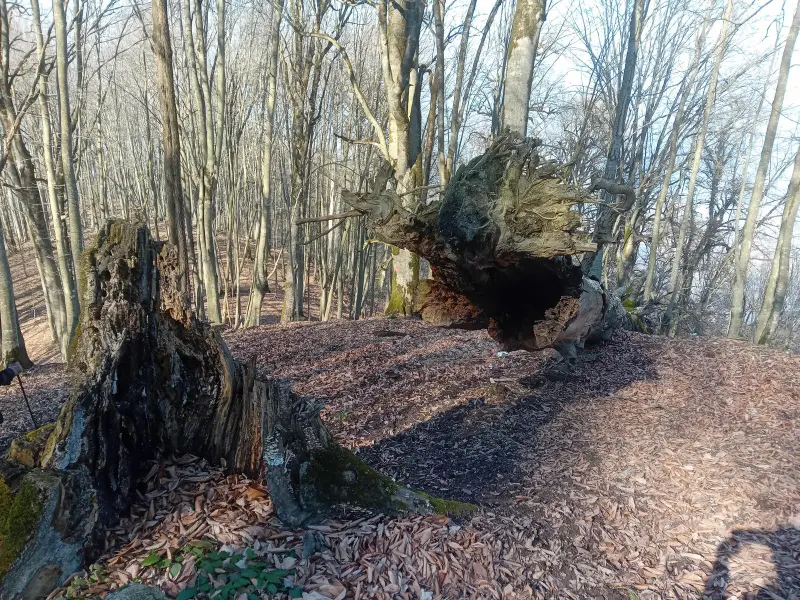
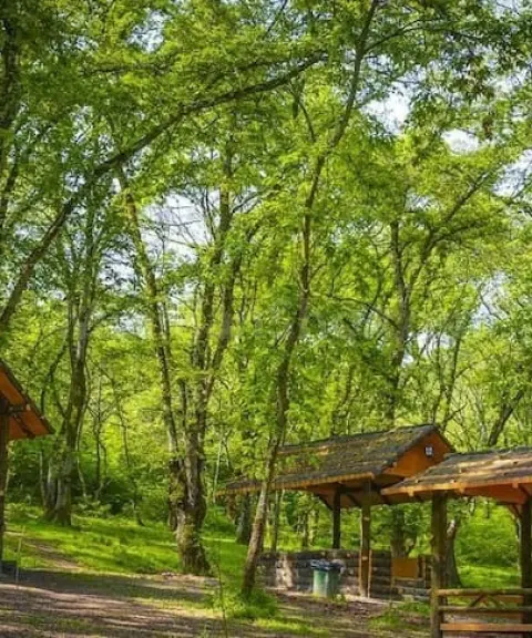
The routes to Zingalu Peak run through tall, lush forests and offer a mix of scenery along the way: massive trees, natural shrubland and mountain views. Many climbing groups describe it as a pleasant, gentle forest-trekking experience. The natural footpaths leading to the summit usually start from the village of Kenijkola or from the Zirab mine. The route is about 10 to 14 kilometres long, with an elevation gain of roughly 800 to 900 metres, varying slightly depending on the route chosen. Besides its visual beauty, the area has a good diversity of vegetation, and the dense forests offer a chance to observe plant and animal species of northern Iran, which makes the summit experience even more appealing to nature lovers.
From the top of the peak, you get a 360-degree view over the forests of Savadkuh, the Varsak heights and the ridgelines of the Central Alborz. To reach Zingalu Forest Peak, you can start from Zirab in Savadkuh. The main route heads toward the village of Kenijkola and then continues onto a forest footpath; the round-trip route can be followed with trail markers and GPS maps. The best time to visit the peak is from spring to autumn, when the weather is mild, the trails are relatively dry and the forest scenery is at its best. While enjoying nature in this area, it is essential to follow environmental protection principles, such as not leaving litter, respecting plants and wildlife, and not lighting unauthorized fires in the forest, in order to preserve the delicate ecosystem of these forests.
Written by ستایش عرب Last updated
Activities
What you can do here, and what it takes
-
Walking
مسیرهای پاکوب جنگلی در اطراف روستا و تا قله برای پیادهروی تفریحی و جنگلنوردی مناسب است.
-
Mountaineering
مسیرهای منظم و اختلاف ارتفاع متوسط این منطقه برای کوهنوردان با تجربه متوسط مناسب است و تجربهای ایمن و لذتبخش ارائه میدهد.
Specifications
Introduction of the location and specifications of Zingalu Forest Peak
Location:
Mazandaran, Zirab
Coordinates:
36.14328125, 52.95186996
Open in maps
Height above mean sea:
1500 meter
Floras:
Temperate Broadleaf and Mixed Forests
Faunas:
Presence of Predatory Animals, Presence of Allergenic Insects, Presence of Herbivorous Animals
Transports:
Private car, Walking, Minibus, Bus
Tourist Attractions in Zirab
Attractions that are nearby

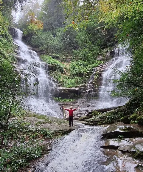

Karmozd Twin Waterfall
Province Mazandaran
- Walking
A Natural Masterpiece in the Heart of the Savadkuh Forests


Related tags:
Unfortunately, no comments have been registered.