
 Mountain
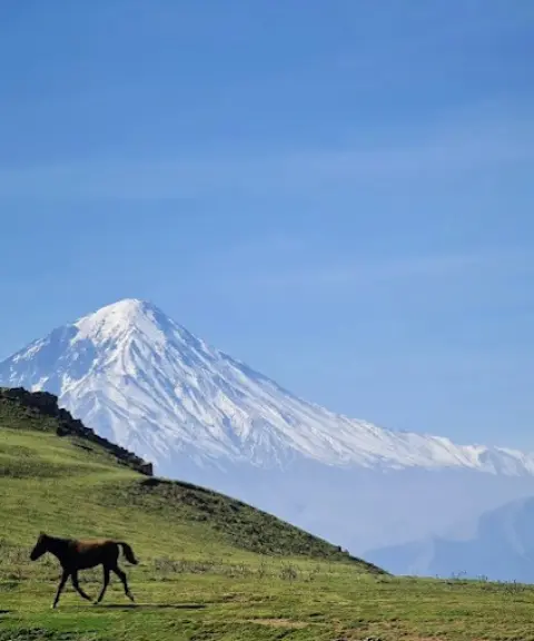
Kolehsar Peak
Forested heights of the Alborz with pristine views
- Mountain
- Mazandaran, Amol
- Altitude 2,015 m
- Ability level Intermediate
- Routes 1 recorded route
Ability level:
Intermediate
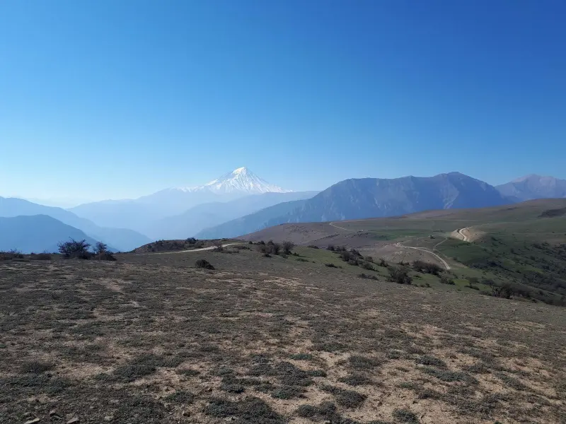
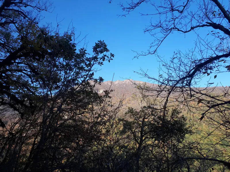
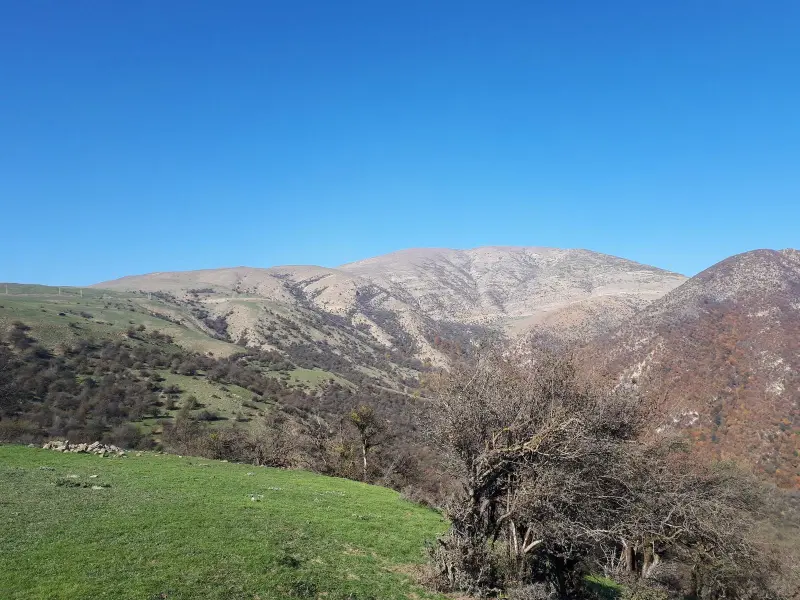
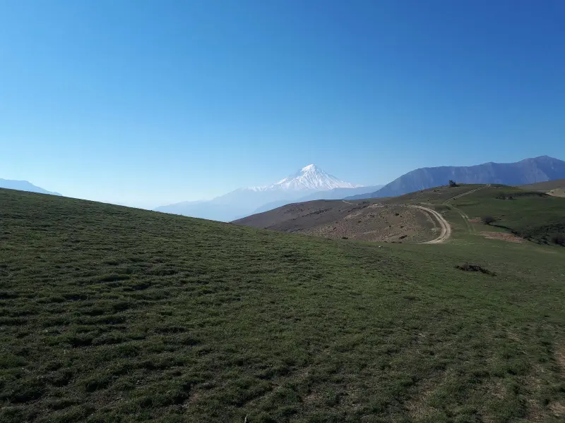
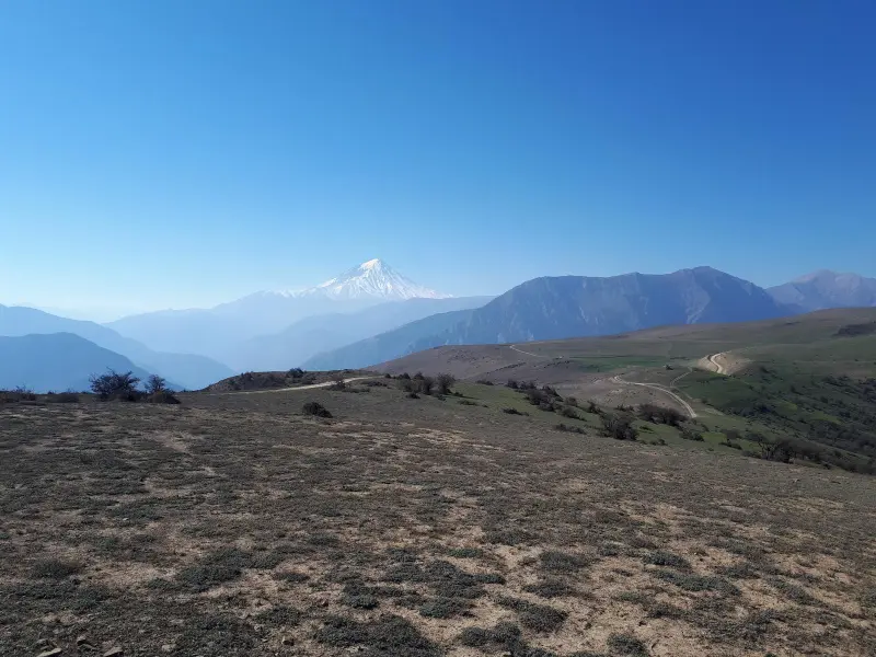
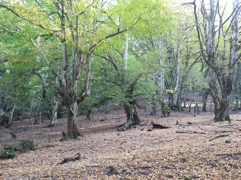
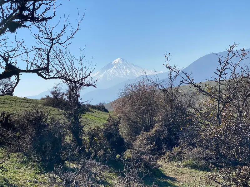
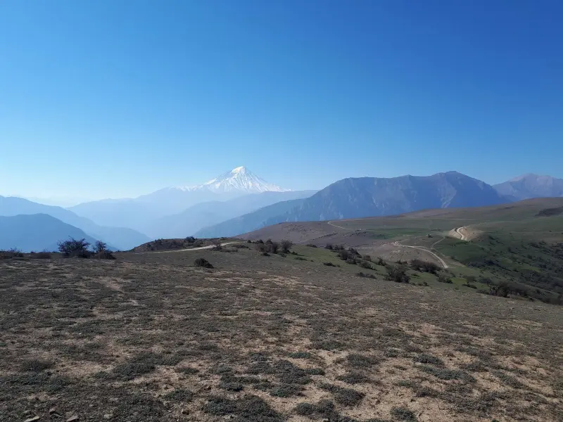
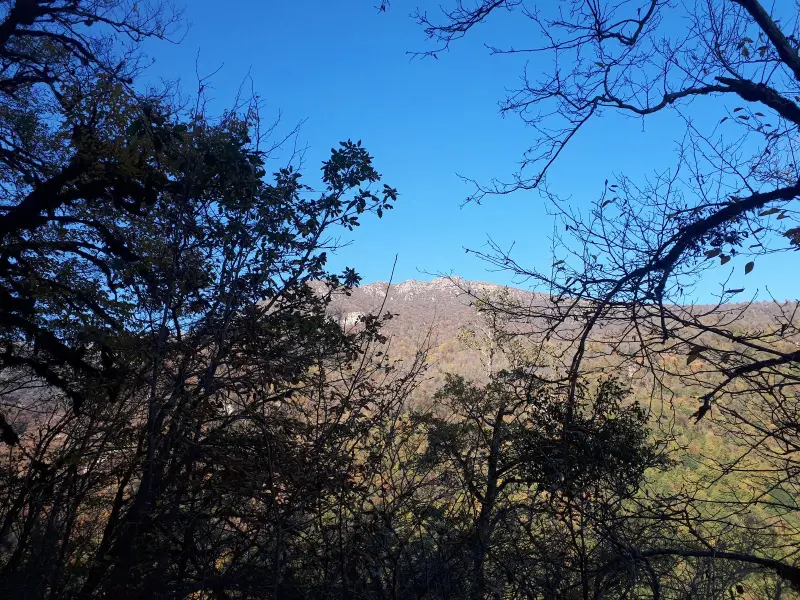
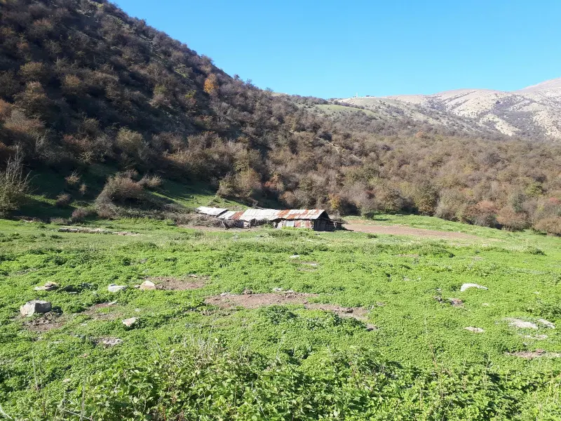
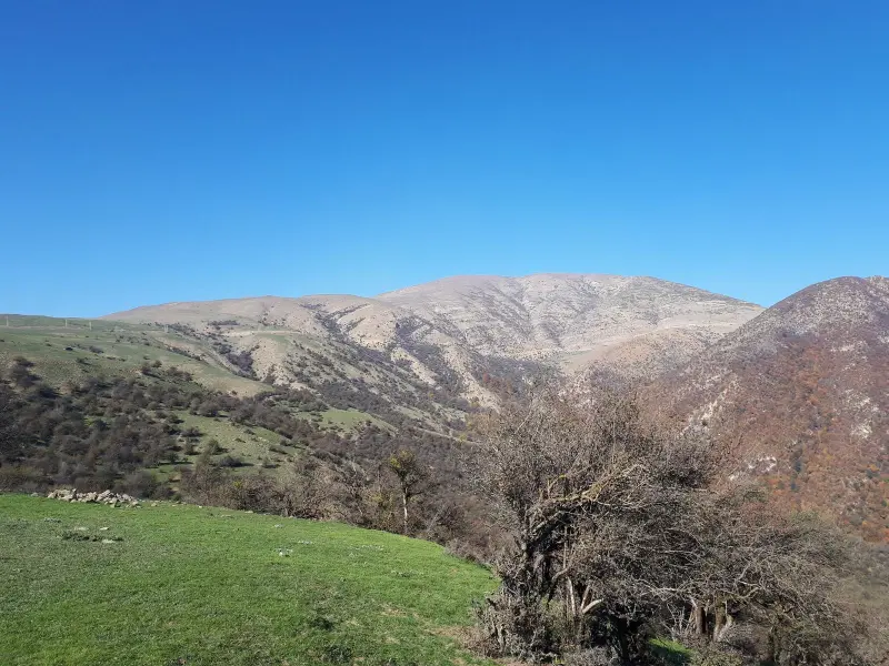
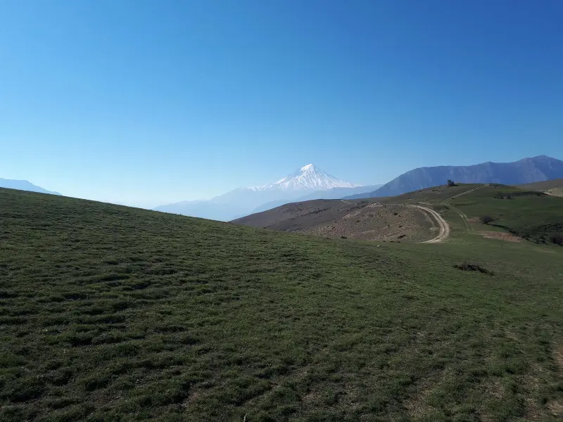
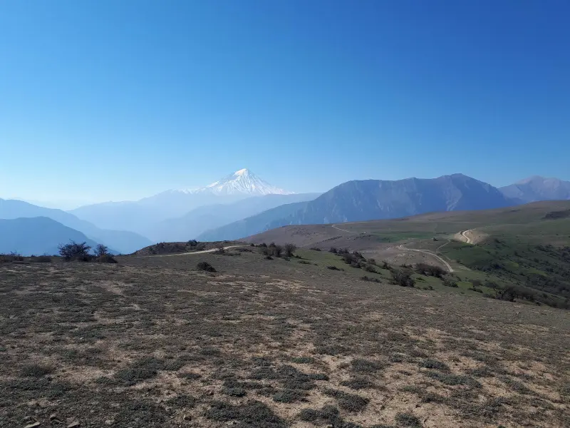
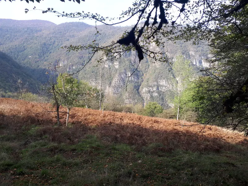
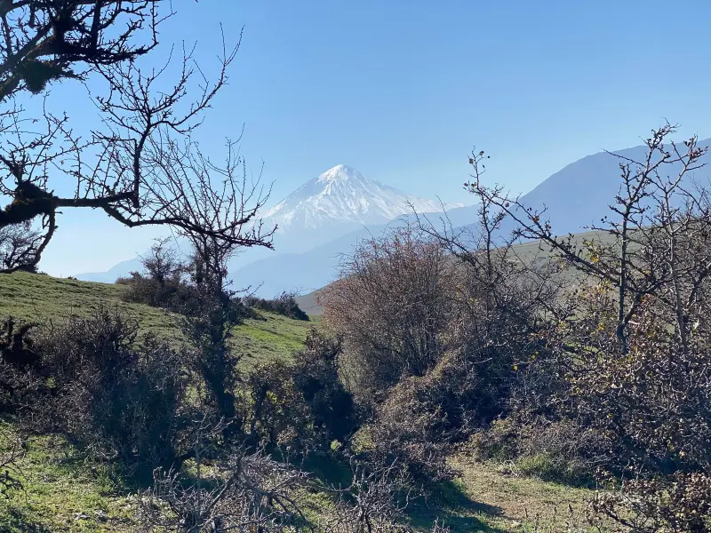
Kolehsar Peak is a well-known mountain summit in the Central Alborz range. It lies in Mazandaran Province, in the area of Amol county and the Haraz region, and rises to about 2,015 metres above sea level. Among climbers and nature lovers, it is known for combining forest trails, scenic views of the Alborz and relatively easy access, and it offers a different kind of nature experience.
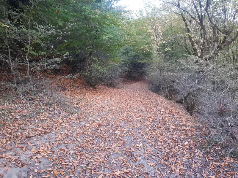
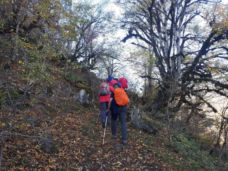
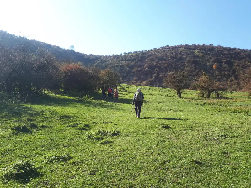
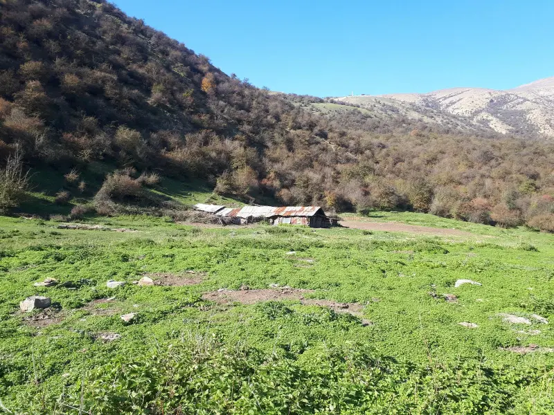
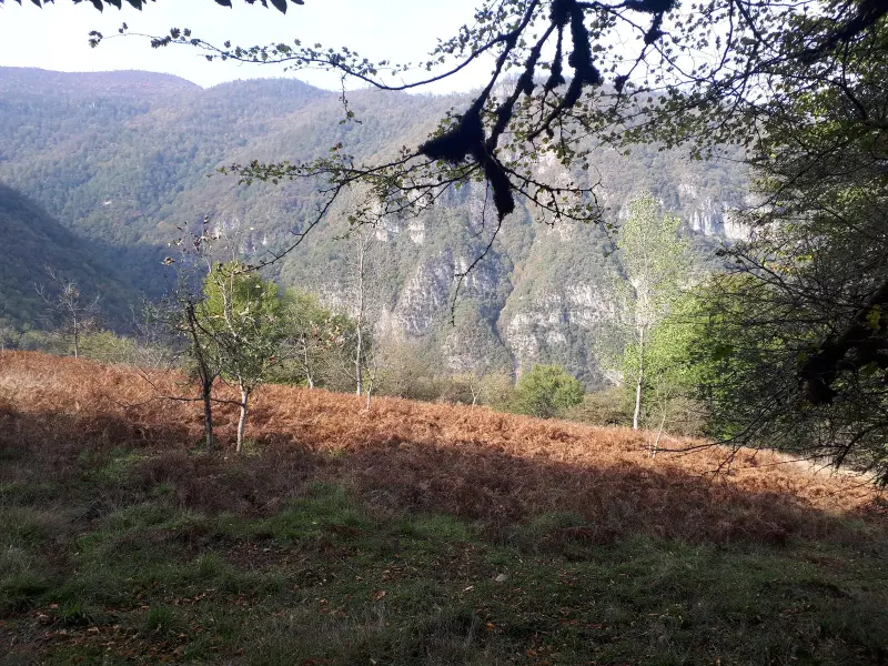
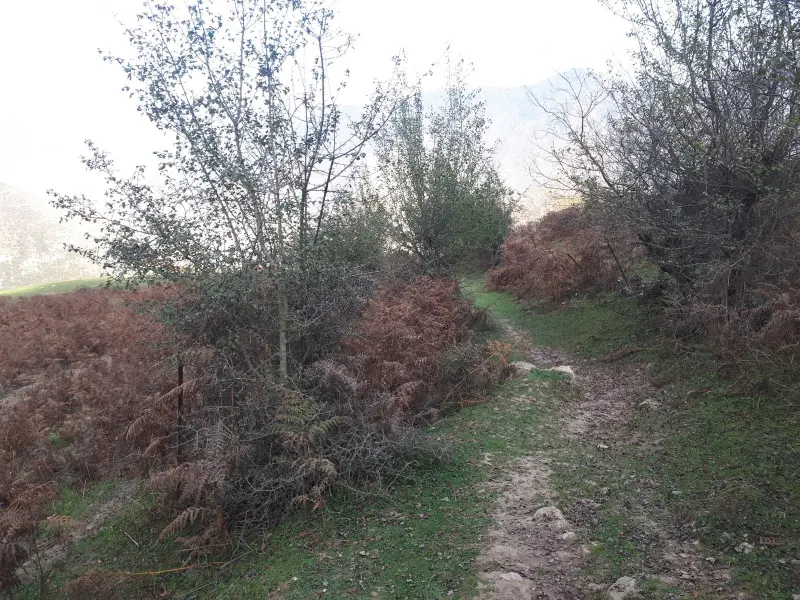
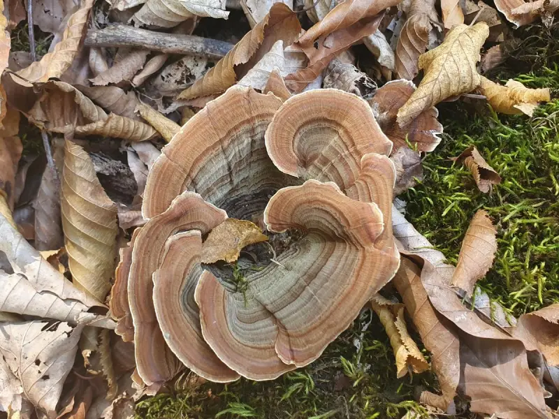
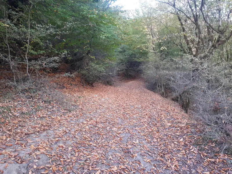
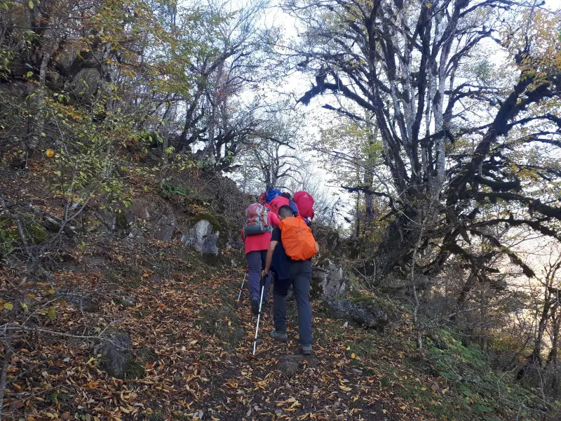
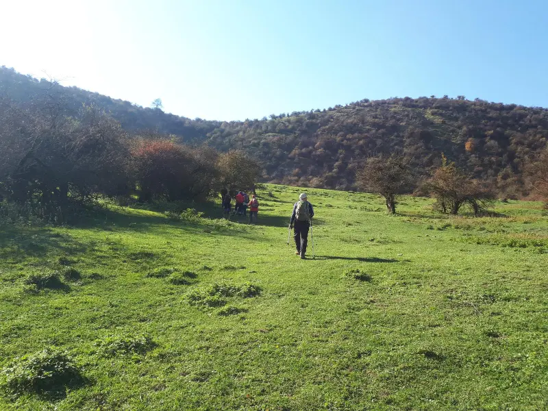
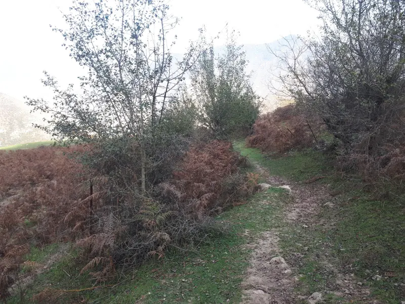
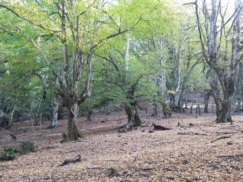
The climbing route usually begins at Shah Zeid Village and first follows forest footpaths, where the vegetation is rich in trees and mountain shrubs. Higher up, the vegetation consists of mountain pasture plants, shrublands and deciduous trees, adapted to the temperate climate of the Alborz heights. This creates good conditions for spotting small wildlife and birds. The trail becomes steeper as it gains altitude, and reaching the summit requires moderate physical fitness and basic mountaineering equipment.
To reach Kolehsar Peak, take the main roads of Mazandaran Province to the Haraz region and Shah Zeid Village, then continue along the marked footpaths to the foot and ridge of the peak. The best time to climb is from spring to early autumn, when the weather is suitable and the vegetation is at its fullest bloom. Responsible nature travel along the route means keeping the area clean, avoiding damage to trees and plants, and respecting the local environment, so that this pristine mountain route remains available for others to enjoy.
Written by ستایش عرب Last updated
Activities
What you can do here, and what it takes
-
Mountaineering
مسیرهای پاکوب جنگلی تا قله مناسب پیمایش یک روزه و کوهنوردی تفریحی با تجهیزات پایه است.
Specifications
Introduction of the location and specifications of Kolehsar Peak
Location:
Mazandaran, Amol, Shah Zeid Village
Coordinates:
36.18929099, 52.32569218
Open in maps
Height above mean sea:
2015 meter
Floras:
Semi-humid mountain climate
Faunas:
Presence of Predatory Animals, Presence of Herbivorous Animals
Transports:
Private car, Walking
Tourist Attractions in Amol
Attractions that are nearby

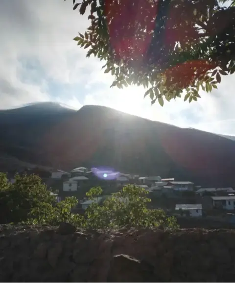

Khoshvash Village
Province Mazandaran
- Walking
- Mountaineering
- Cycling
A Paradise Above the Clouds in the Highlands of Amol
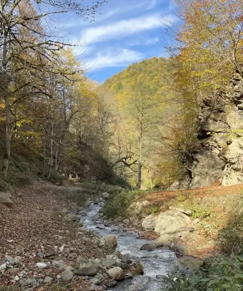
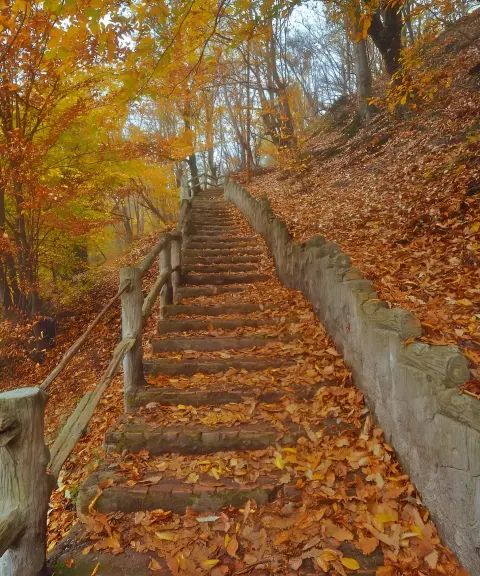
Hezar Pelleh Forest Park
Province Mazandaran
- Walking
- Cycling
A stairway trail through the ancient Hyrcanian forests
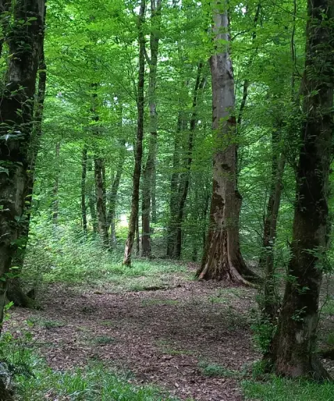
Mirza Kuchak Khan Forest Park
Province Mazandaran
- Walking
- Horse Riding
- Cycling
Hezar Pelleh Forest (Thousand Steps Forest)
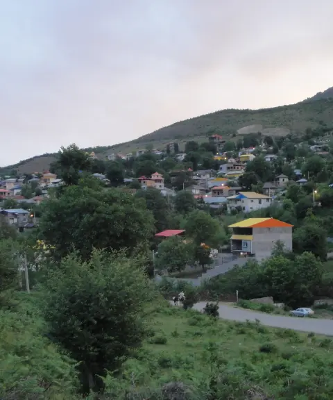
Sangchal Village
Province Mazandaran
- Walking
The Eastern Rooftop of Mazandaran on the Slopes of Filband
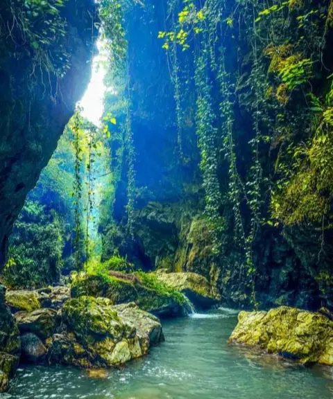

Razkeh Gorge
Province Mazandaran
- Swimming
- Walking
- Mountaineering
A Shining Pearl in the Heart of Mazandaran's Forests
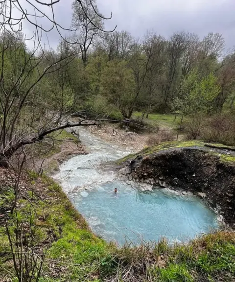

Belieran Hot Spring
Province Mazandaran
- Swimming
- Walking
- Cycling
Unfortunately, no comments have been registered.