
 Mountain
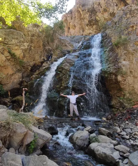

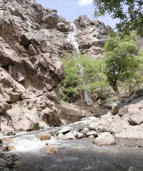
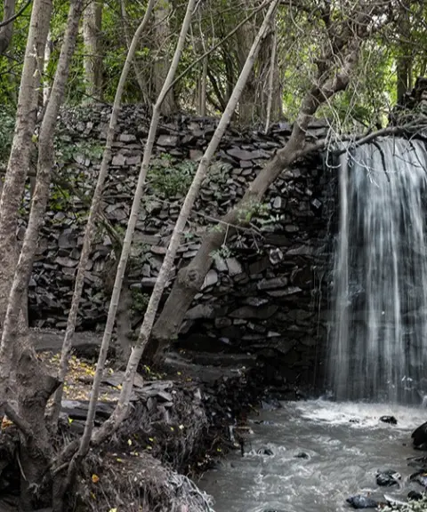
Bojan Waterfall
Province Razavi Khorasan
- Walking
- Swimming
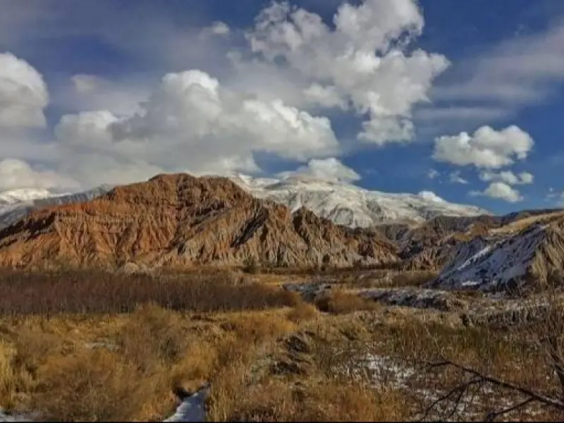
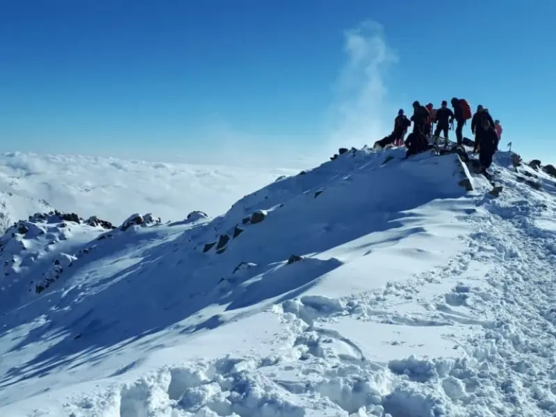
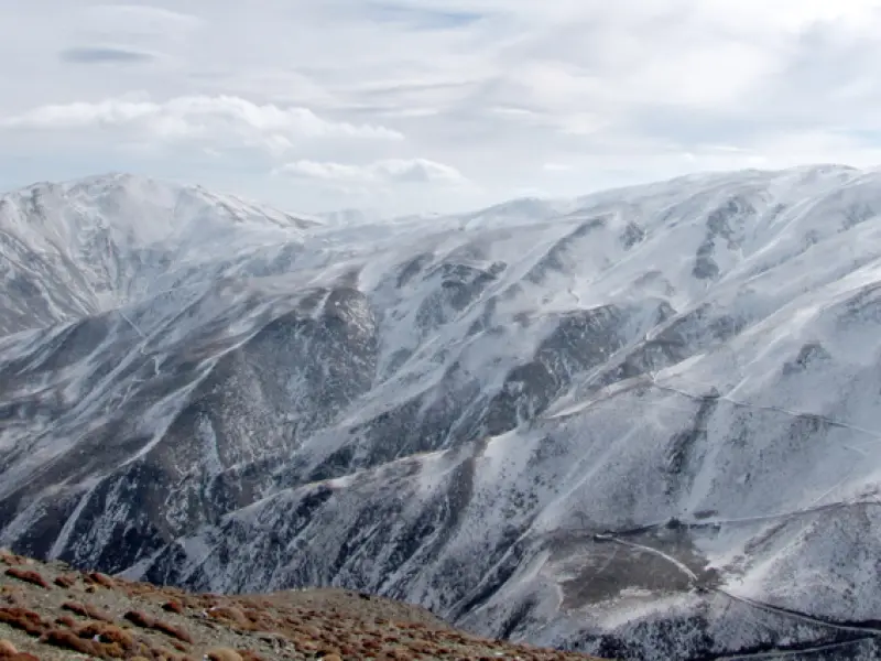
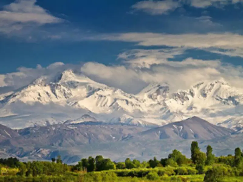
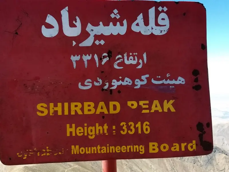
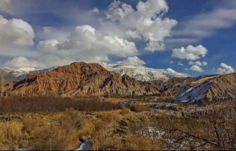
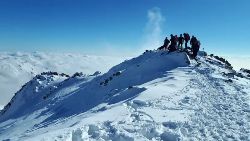
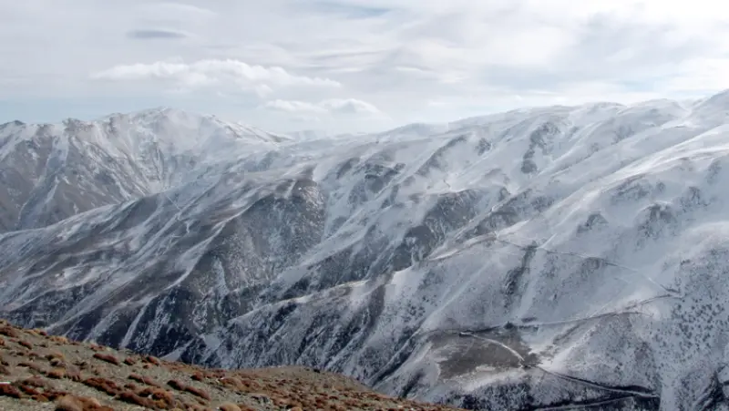
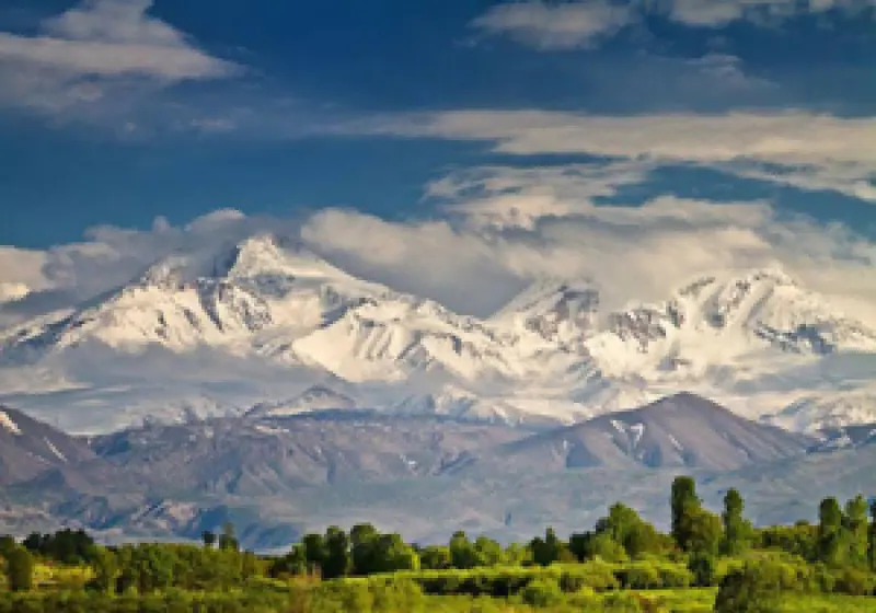
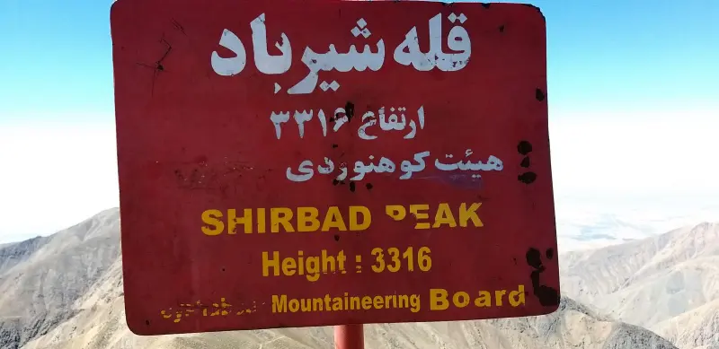
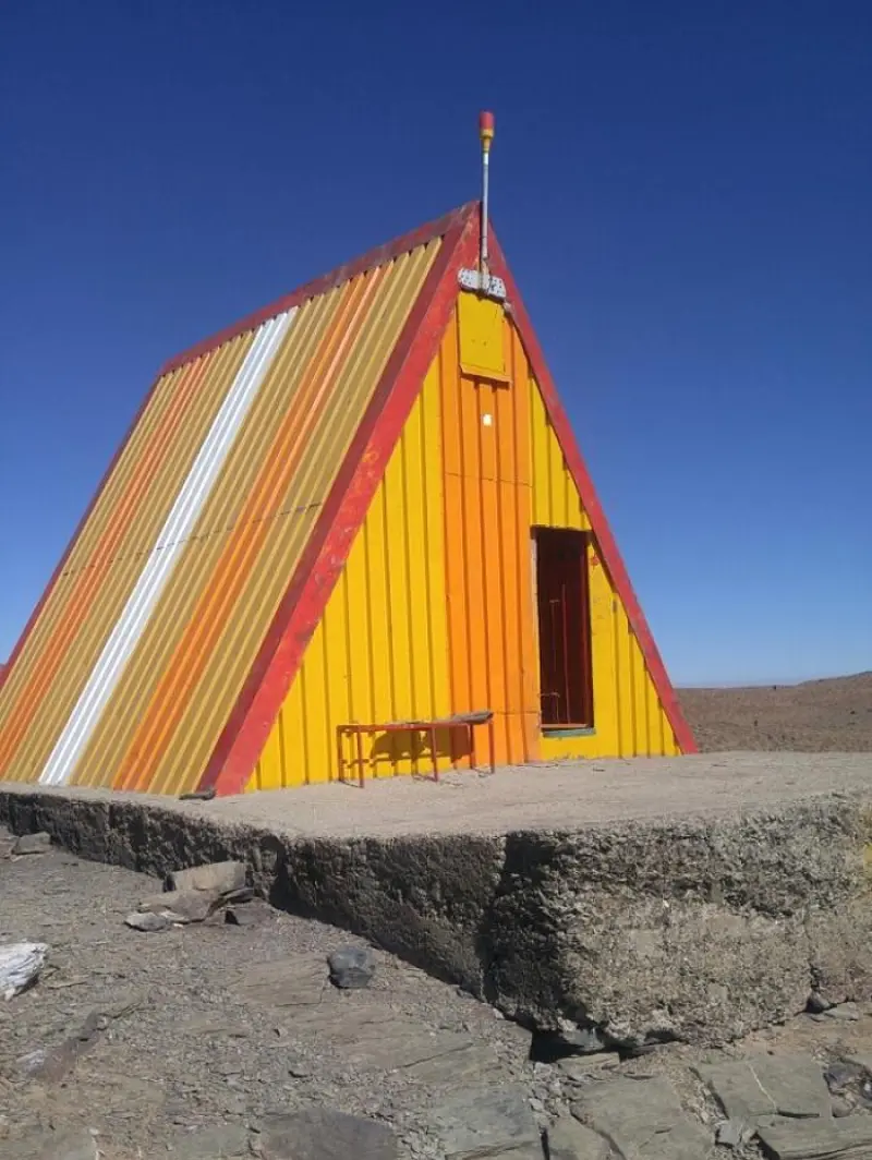
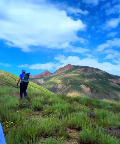
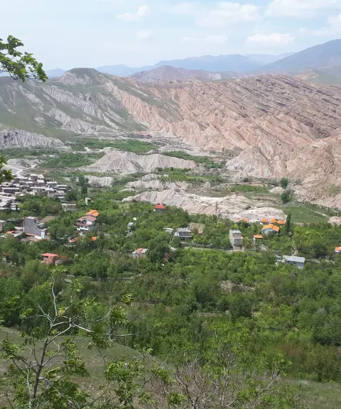
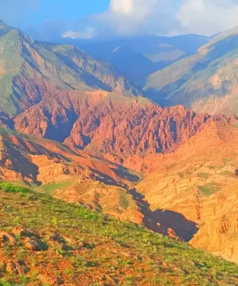
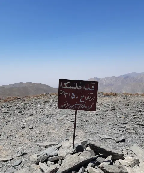
Shirbad Peak, at an elevation of 3,316 meters, is the highest peak of the Binalud mountain range and the highest point in the three provinces of Khorasan, which is why it is known as the "Roof of Khorasan." The mountain is swept by very strong, cold winds all year round, and it is because of these fierce winds that the peak was named Shirbad. On its southern slope the peak leads down to the village of Bojan near the city of Neyshabur, and on its northern slopes to the Nehal Zeshk Valley and the Dowlatabad Valley in Golbahar County. The lush valleys around it give the peak beautiful scenery. The Shirbad Ski Resort was built near the peak, 18 kilometers from the village of Dowlatabad in Golbahar County.
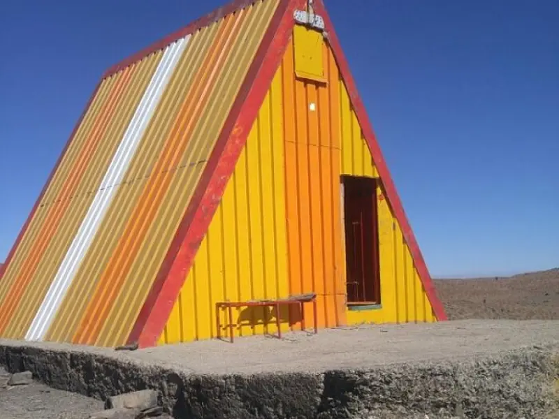
There are several routes to the summit, such as the shelter route, or eastern route, which is the most common ascent route. The Dowlatabad route runs via the village of Dowlatabad. The Nehal Valley route approaches from the east side of the mountain, and the Bojan route from the west. The difficulty of the climb varies with the route chosen, but overall it is of moderate difficulty. The mountain shelter stands at an elevation of 3,060 meters. Beyond the shelter, the Shirbad winds gradually grow stronger. The distance from the shelter to the summit is about 4.5 kilometers. The best seasons to climb Shirbad Peak in Khorasan are spring and summer, thanks to the favorable weather conditions. In spring, the nature around the peak is especially lively and beautiful.
Written by کیانا دهبندی Last updated
What you can do here, and what it takes
مسیر پاکوب شده و مناسب برای صعود و پیمایش میباشد.
این قله قابل صعود با دوچرخه کوهستان میباشد ولی به آمادگی جسمانی بالایی نیاز دارد.
در نزدیکی این قله پیست اسکی شیرباد واقع شده است.
Province Razavi Khorasan
Province Razavi Khorasan

Province Razavi Khorasan
Province Razavi Khorasan
Province Razavi Khorasan
Province Razavi Khorasan
Province Razavi Khorasan


Unfortunately, no comments have been registered.