
 Mountain
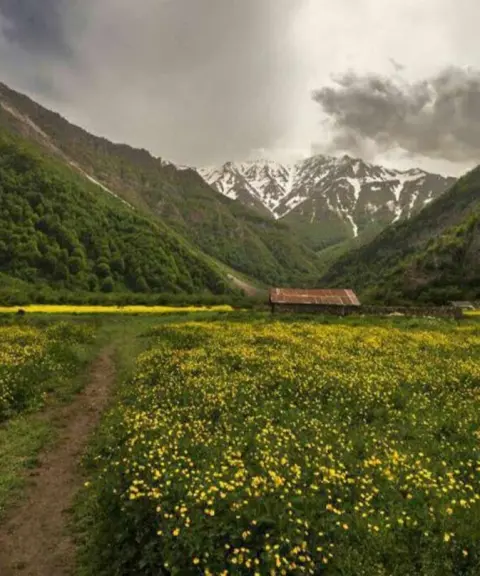
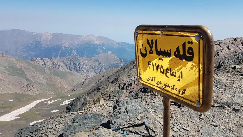
Mount Sialan
A 4,000-metre peak in the western Alborz
- Mountain
- Mazandaran, Tonekabon
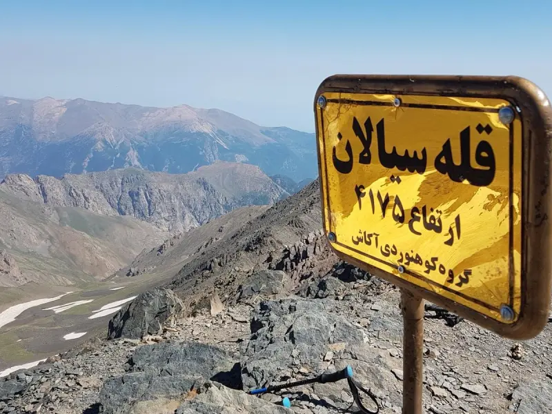
- Altitude 4,175 m
- Ability level Advanced
- Routes 1 recorded route
Ability level:
Advanced
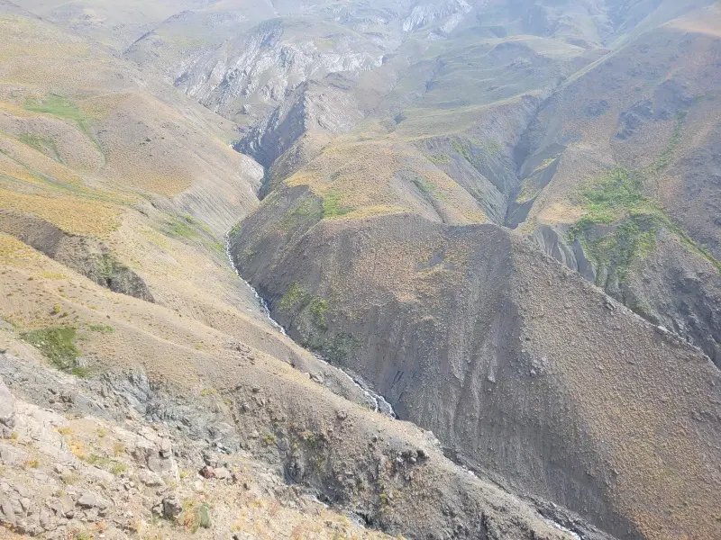
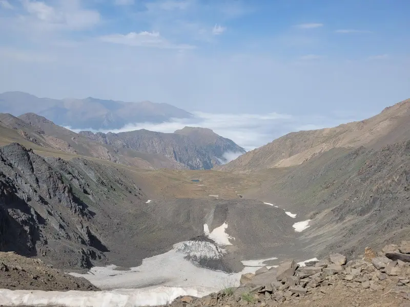
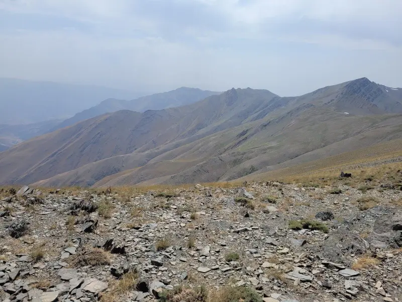
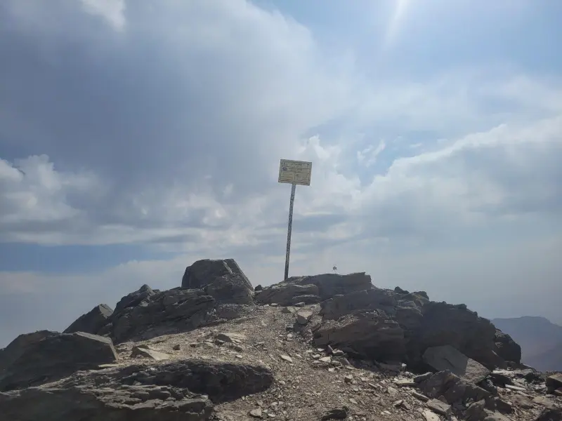
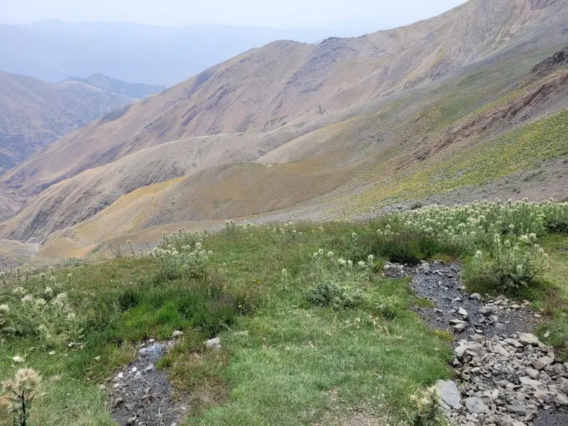
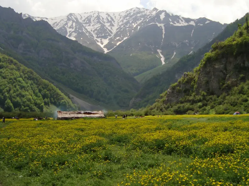
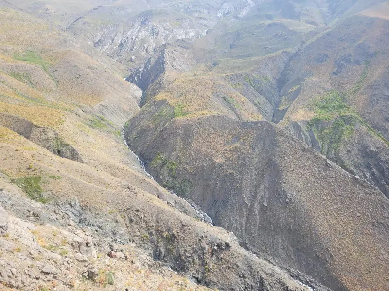
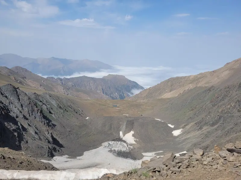
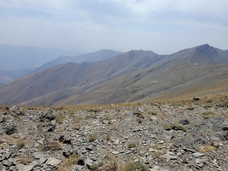
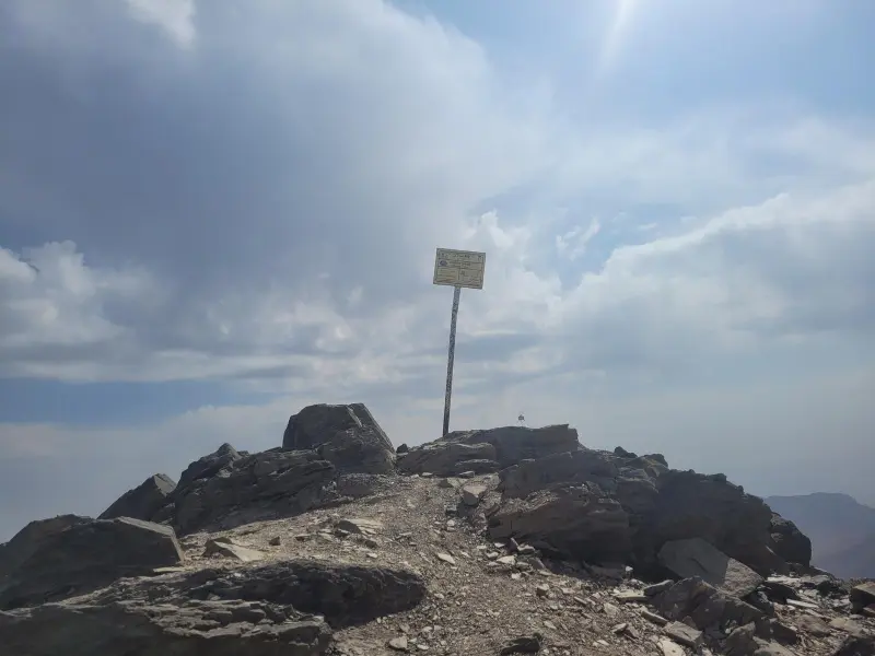
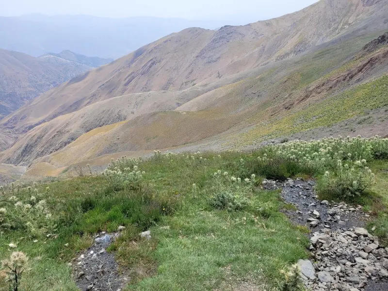
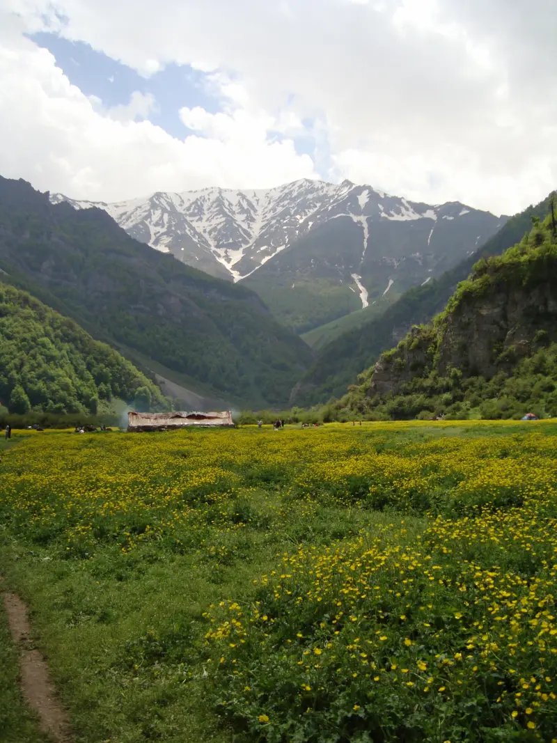
Mount Sialan is one of the most challenging and best-known peaks of the Alborz range, on the border between Mazandaran and Qazvin provinces. Thanks to its great height and mountain scenery, it is popular with professional climbers as well as nature lovers. The mountain lies north of the Rudbar-e Alamut region, overlooking the Dohezar Valley and the Daryasar Plain, and is counted among the high points of the northern Alborz. Sialan is on the list of Iran's peaks above 4,000 metres, and from its summit you can see other high mountains such as Alam-Kuh, Takht-e Soleyman, Shahrashid and Samamus, and even parts of Damavand, which shows its distinguished place in the Alborz mountain chain.
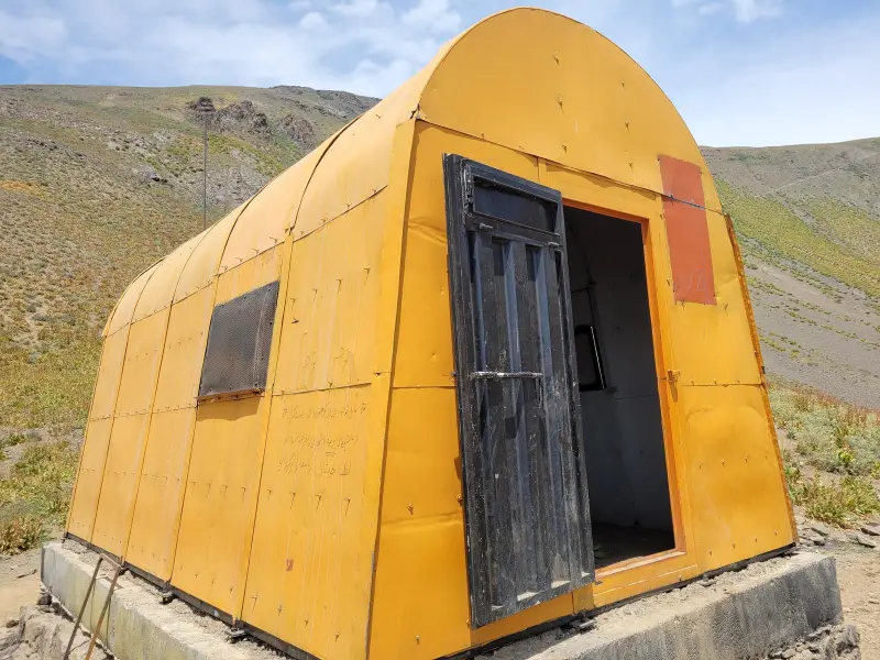
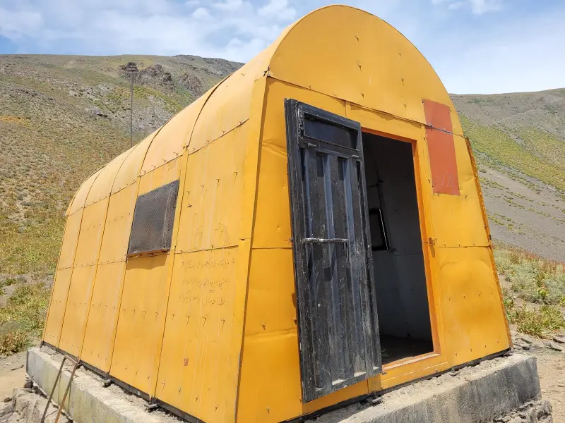
The official height of Mount Sialan is about 4,175 metres above sea level, which makes it one of Iran's 4,000-metre peaks. There are mountain shelters in the northern and southern sections of the climbing route, which help in planning a multi-day ascent. Several climbing routes are in common use: from the Dohezar valleys, from the village of Asalmahalleh in Mazandaran on the north side, and from the village of Haniz in Qazvin on the south side. Depending on the team's ability and plan, these routes can take several days and pass through beautiful natural scenery, springs and meadows.
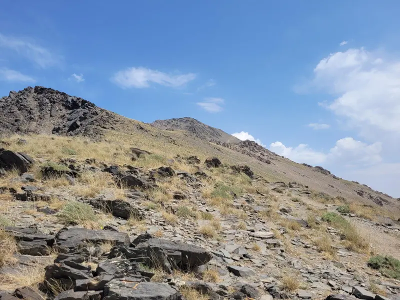
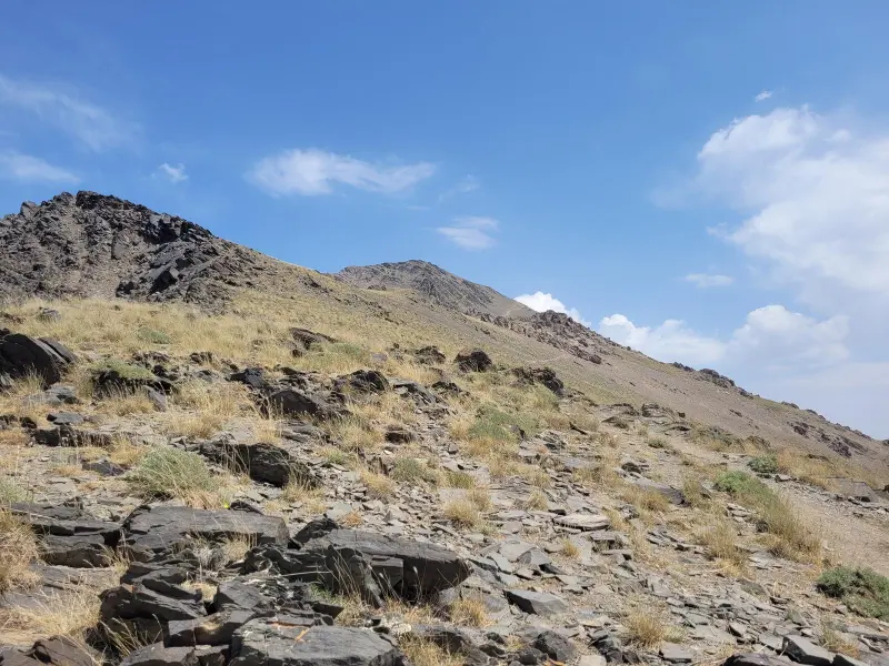
To reach the main starting points for climbing Sialan, you usually take the Moallem-Kalayeh side road near the city of Qazvin towards the villages of Atan, Kalayeh and Haniz, until you reach the start of the footpath. Natural mountain trails are best followed with a guide and a GPS map, especially in sections with rock cairns and steep slopes. The best time to climb the peak is late spring to early summer, and also early autumn, when the weather is more favourable and the routes are relatively clear of snow. For every ascent, it is essential to follow mountaineering safety principles and practise responsible nature tourism, including careful planning, standard equipment, keeping the area clean and respecting the mountain ecosystem, so that you have a safe and enjoyable experience.
Written by ستایش عرب Last updated
Activities
What you can do here, and what it takes
-
Mountaineering
مسیرهای روستای هنیز و عسلمحله تا قله سیالان مناسب برنامههای چندروزه و کوهنوردی چالشبرانگیز است.
-
Walking
دامنههای پایین و میانی سیالان برای پیادهروی طبیعتگردی مناسب هستند.
Specifications
Introduction of the location and specifications of Mount Sialan
Location:
Mazandaran, Tonekabon, Haniz
Coordinates:
36.51160226, 50.69855690
Open in maps
Height above mean sea:
4175 meter
Faunas:
Presence of Predatory Animals, Presence of Herbivorous Animals
Transports:
Private car, Walking, Minibus, Bus
Tourist Attractions in Tonekabon
Attractions that are nearby

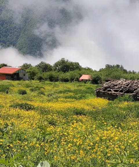
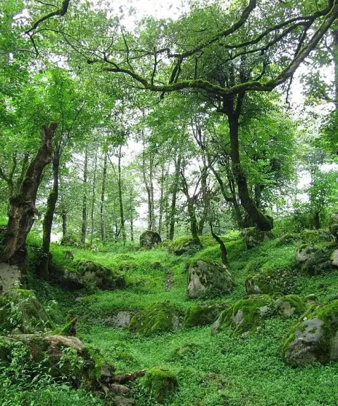

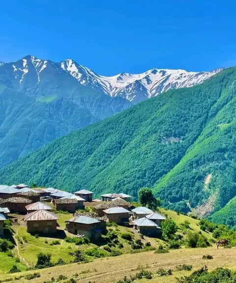

Nowsha Village
Province Mazandaran
- Walking
A summer pasture village above the clouds in the Dohezar highlands of Tonekabon
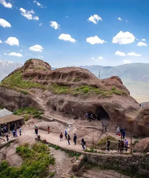

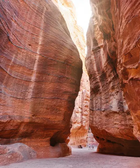

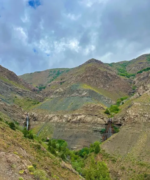
Pichban Canyon
Province Qazvin
- Walking
- Canyoning
- Rock Climbing
A Technical Adventure in the Heart of Eastern Alamut
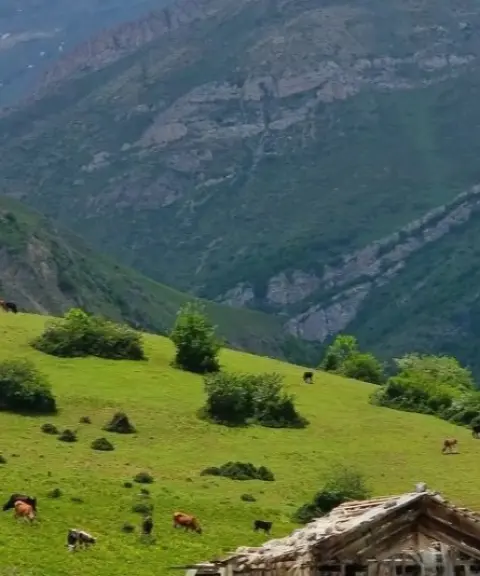
Belaskuh Protected Area
Province Mazandaran
- Walking
- Mountaineering
Where dense forests, full-flowing rivers and rich wildlife meet in the heart of the mountains
Related tags:
Unfortunately, no comments have been registered.