
 Mountain
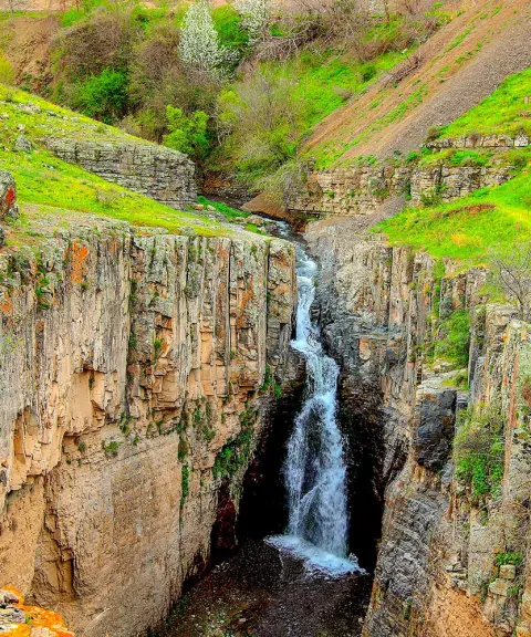
Anzir Peak
Pristine nature and high-altitude views in the Qaradagh region of Ardabil
- Mountain
- Ardabil, Germi
- Altitude 1,700 m
- Ability level Intermediate
- Routes 1 recorded route
Ability level:
Intermediate
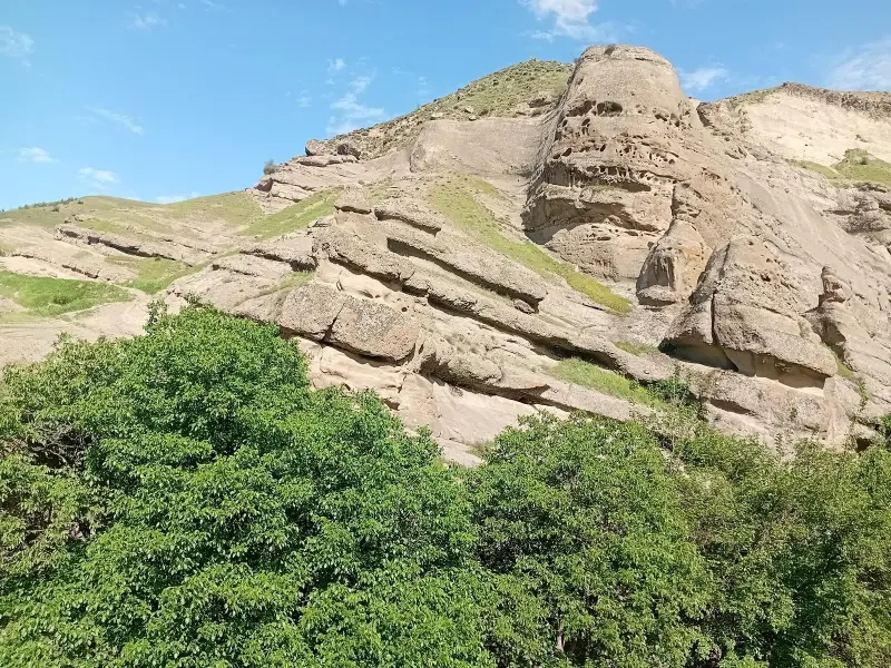
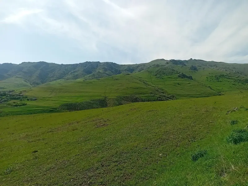
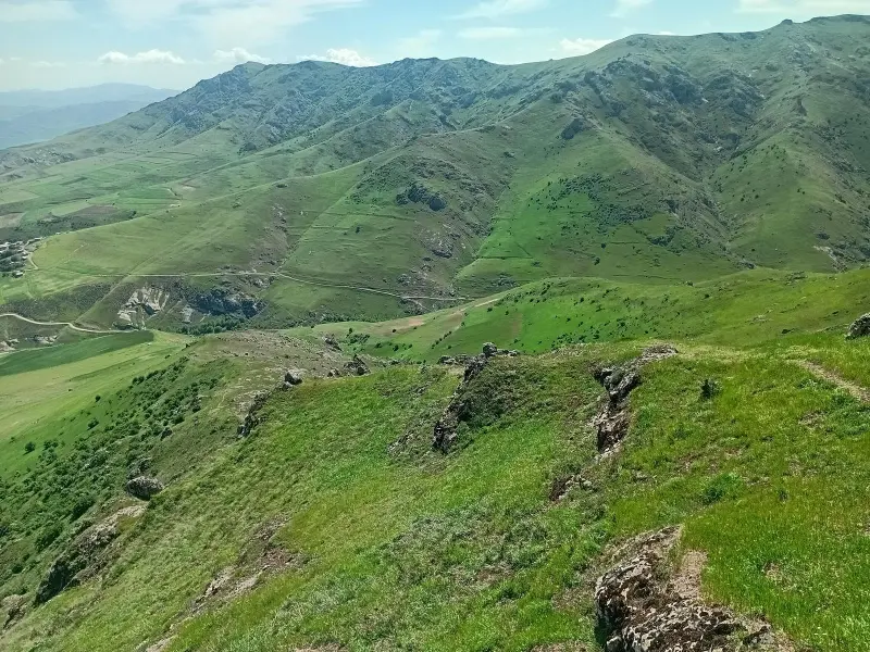
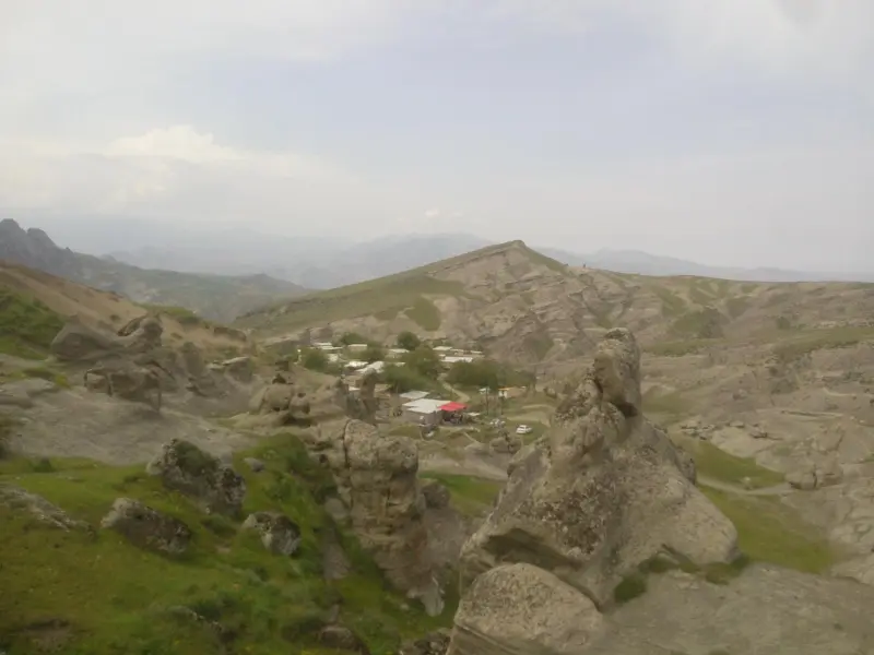
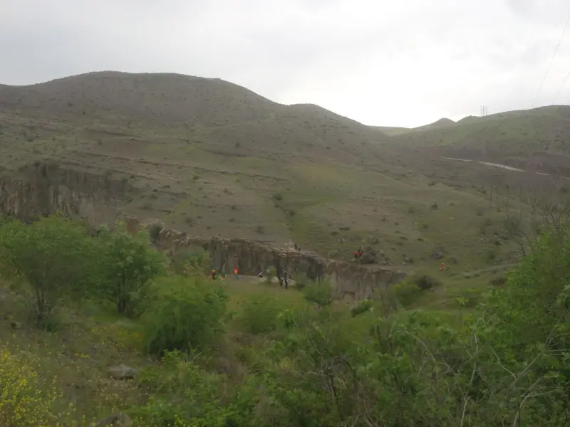
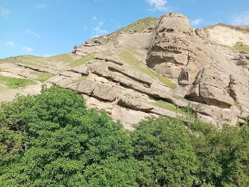
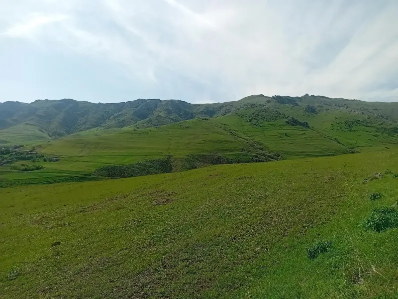
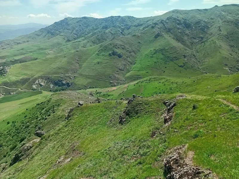
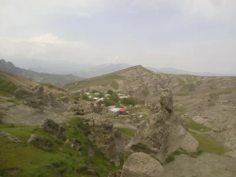
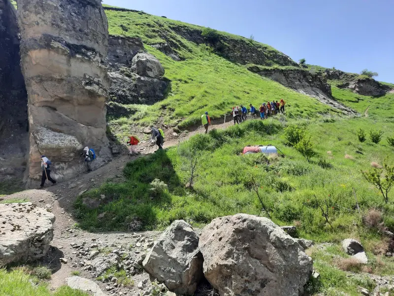
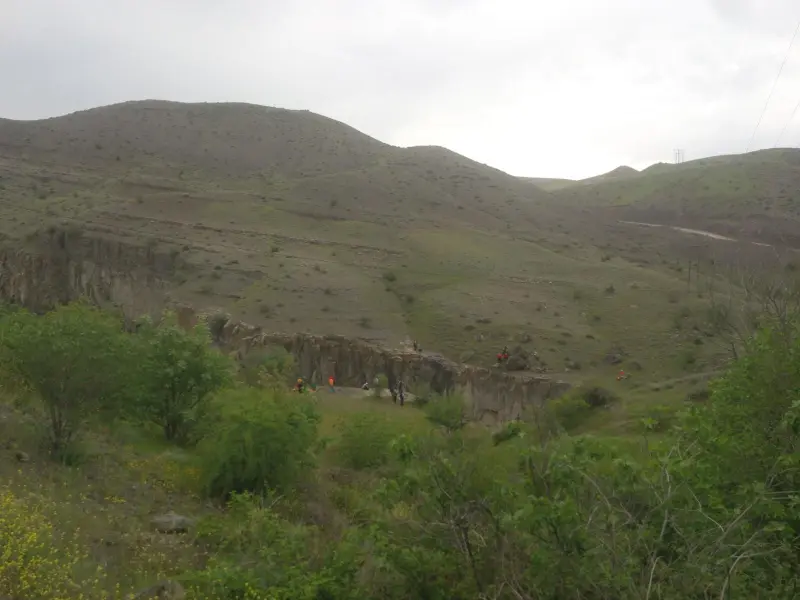
Anzir Peak (referred to in some sources as "Ghaleh Anzar") is one of the most prominent natural heights in Ardabil Province, in Angut District and the mountainous Qaradagh region. The peak lies within the area of several villages, including Golin Bolaghi, Kalantar, Domoli and Sheikh Razi, and is part of the pristine, high-altitude landscapes of the Damoli Geopark. With its forest and pasture cover, the area is among the natural beauties of northwestern Iran, and from the summit of Anzar you can enjoy a wide view over the surrounding valleys and hills, an experience unlike any other for nature lovers and mountaineers.
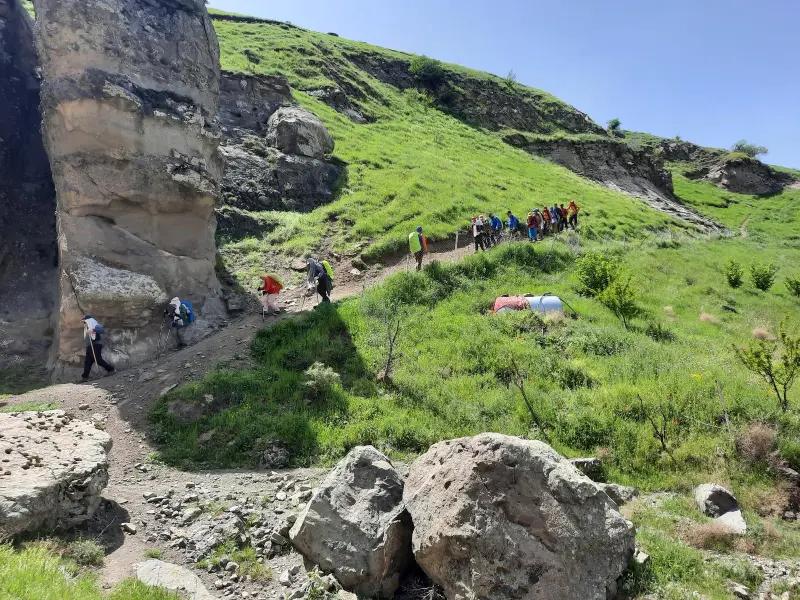
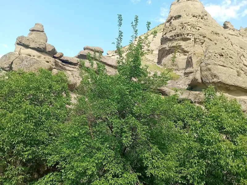
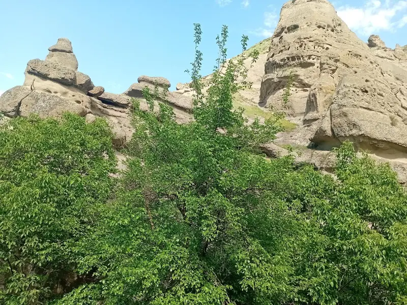
The hiking routes to this peak mostly start from the village of Golin Bolaghi or Kalantar. They pass through steep slopes, meadows, green valleys and scenery of rock formations and mountain ridges. The height of Anzir Peak is reported to be around 1,700 metres above sea level, and the hike is of moderate difficulty, suitable for recreational climbers and nature lovers. In spring and summer the routes are lined with lush vegetation, while in the drier seasons of the year they offer broad, open views of the landscape.
To reach Anzir Peak, you usually need to travel from the city of Ardabil towards Germi County and Angut District, and then on to the villages of Kalantar or Golin Bolaghi; these villages are the starting points of the hiking routes to the peak. The best time to visit and climb the peak is from late spring to early autumn, when the weather is more favourable and the trails are drier. While hiking and visiting this mountainous area, it is important to follow the principles of responsible nature tourism, including keeping the trails clean, not leaving litter, respecting vegetation and wildlife, and staying on marked paths, so that this pristine ecosystem is preserved for future visitors.
Written by ستایش عرب Last updated
Activities
What you can do here, and what it takes
-
Mountaineering
صعود به قله آنزیر از مسیرهای پاکوب و میانمراتع و دامنهها برای کوهنوردان مبتدی و متوسط یک تجربه کوهنوردی سبک و آموزنده محسوب میشود.
-
Walking
مسیرهای پاکوب از روستای گلینبلاغی و کلانتر تا قله آنزیر مناسب پیادهروی کوهستانی است.
Specifications
Introduction of the location and specifications of Anzir Peak
Location:
Ardabil, Germi
Coordinates:
38.89236893, 47.65028000
Open in maps
Height above mean sea:
1700 meter
Floras:
Semi-humid mountain climate
Faunas:
Presence of Predatory Animals, Presence of Herbivorous Animals
Transports:
Private car, Walking, Minibus, Bus
Tourist Attractions in Germi
Attractions that are nearby


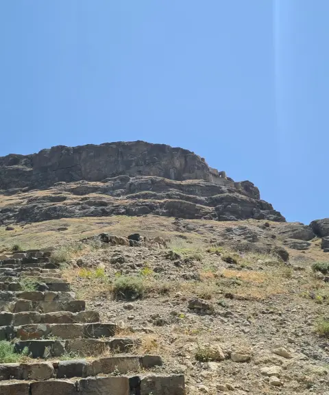

Gahgaheh Castle
Province Ardabil
- Walking
- Mountaineering
A historic, mysterious mountain fortress in Ardabil
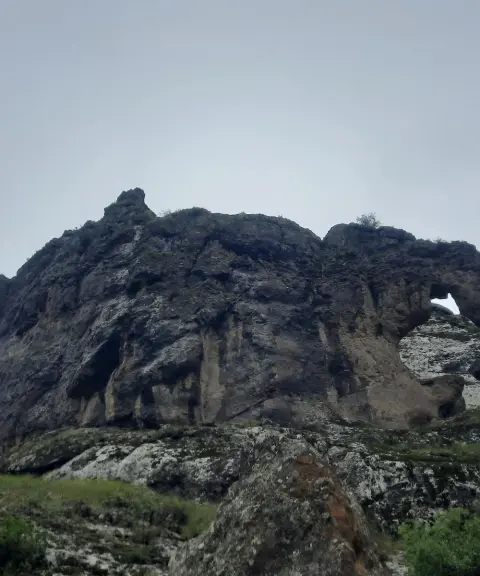
Poshtu Castle
Province East Azerbaijan
- Walking
An ancient fortress in the heart of the Hurand mountains
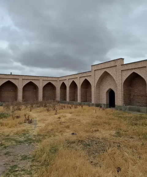
Qanli Bulagh Caravanserai
Province Ardabil
- Walking
A Safavid architectural relic on the border between Iran and the Republic of Azerbaijan
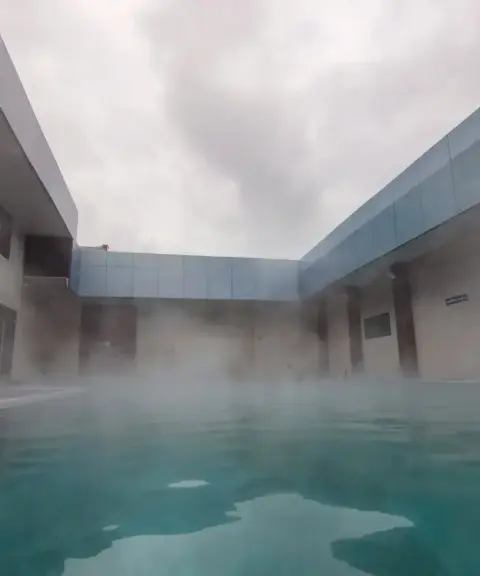

Motallegh Hot Spring
Province East Azerbaijan
- Walking
- Swimming
Unfortunately, no comments have been registered.