
 Mountain
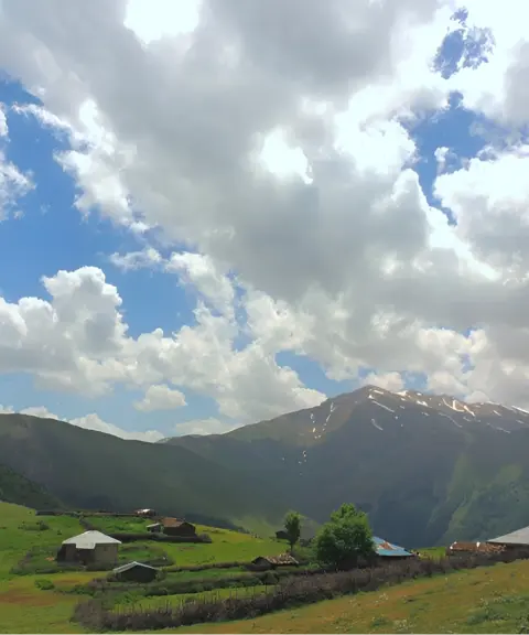

Giavar Village
Province Gilan
- Walking
- Mountaineering
360-degree views of forest, mountains and sea on the border of Gilan and Mazandaran
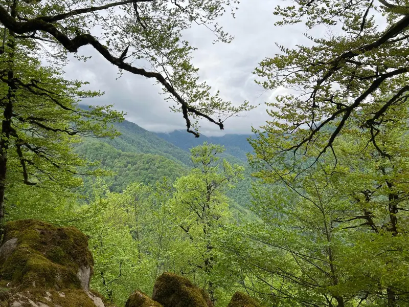
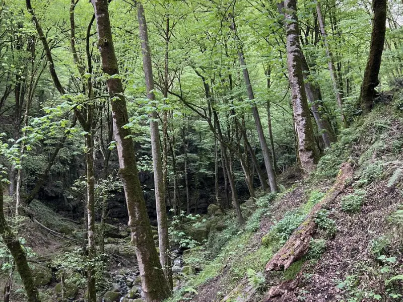
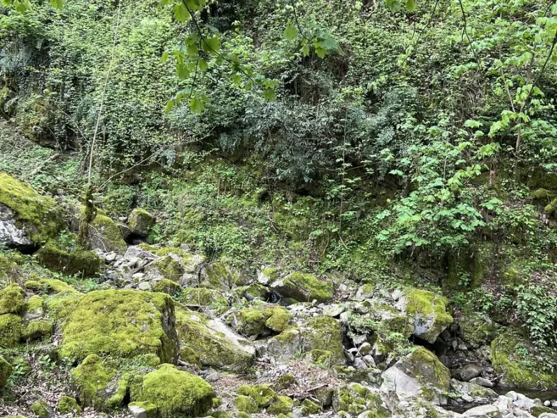
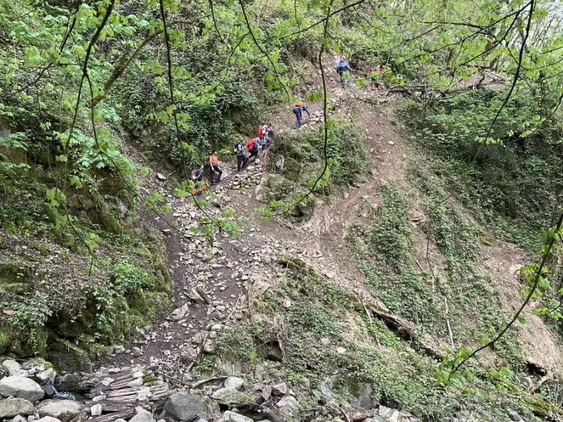
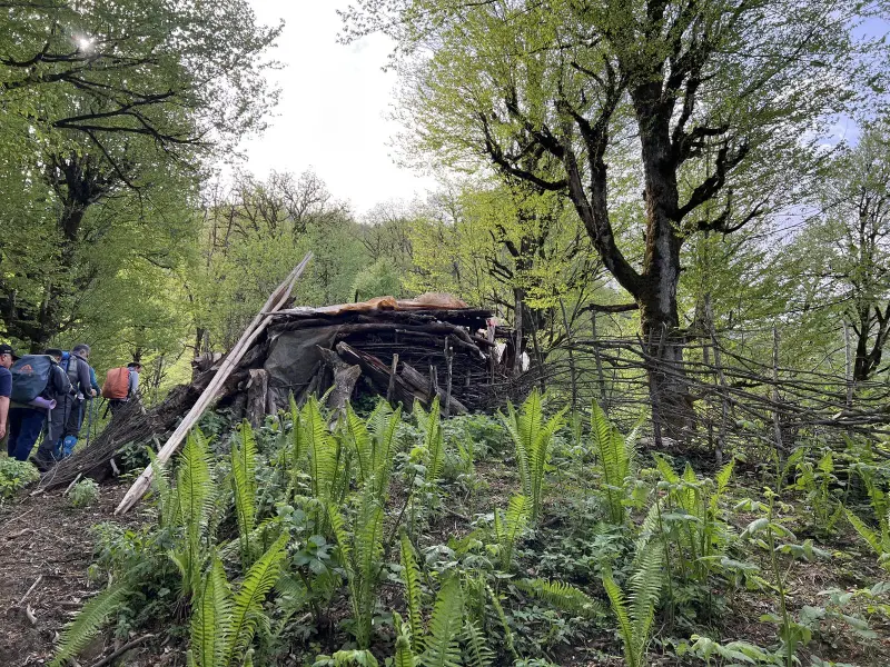
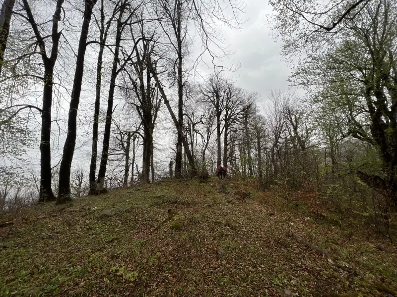
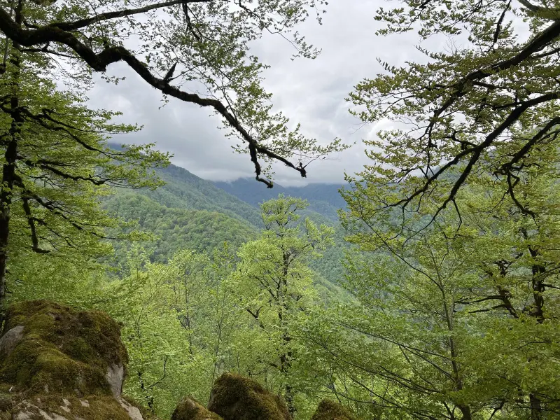
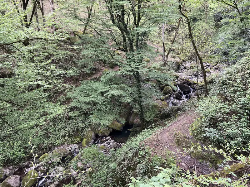
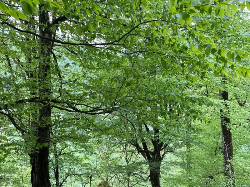
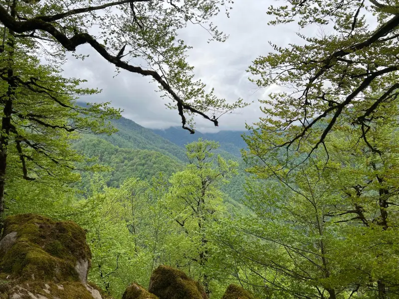
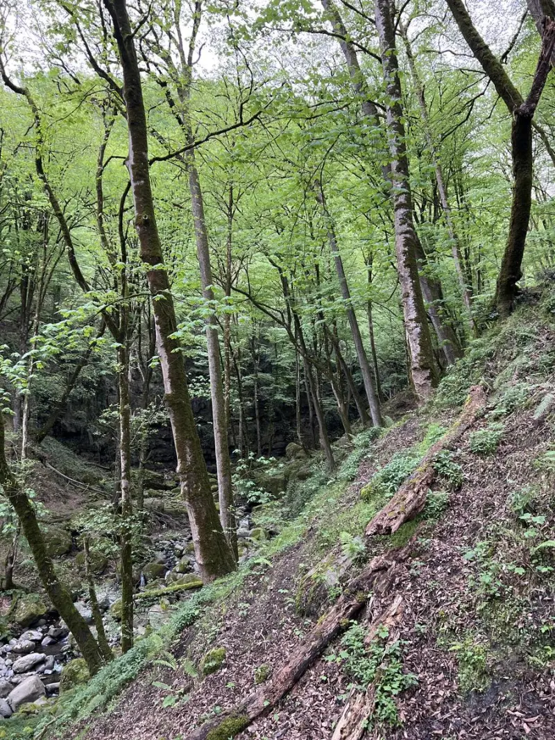
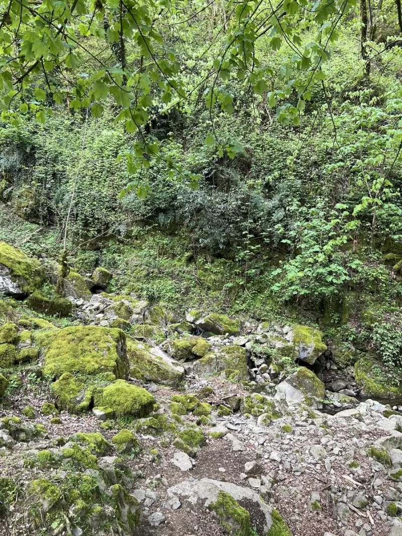
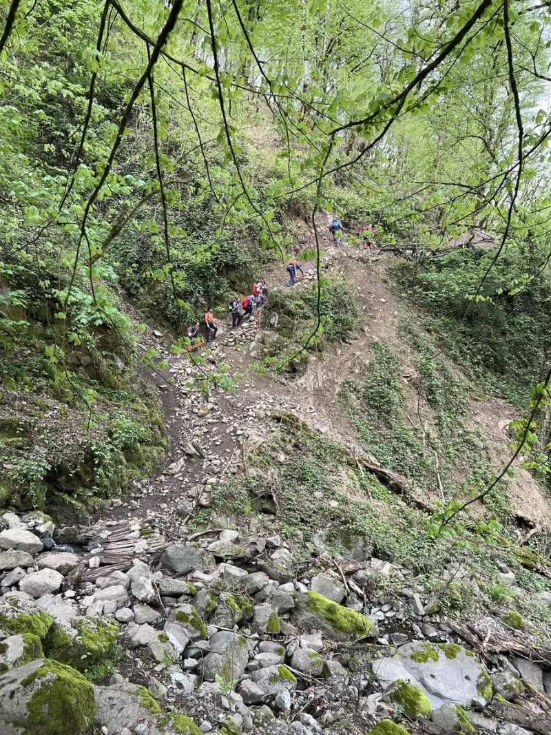
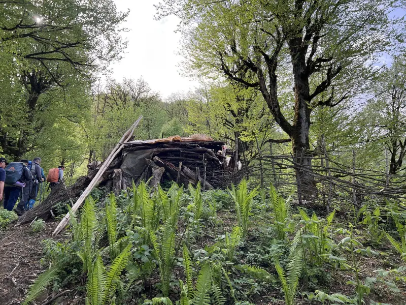
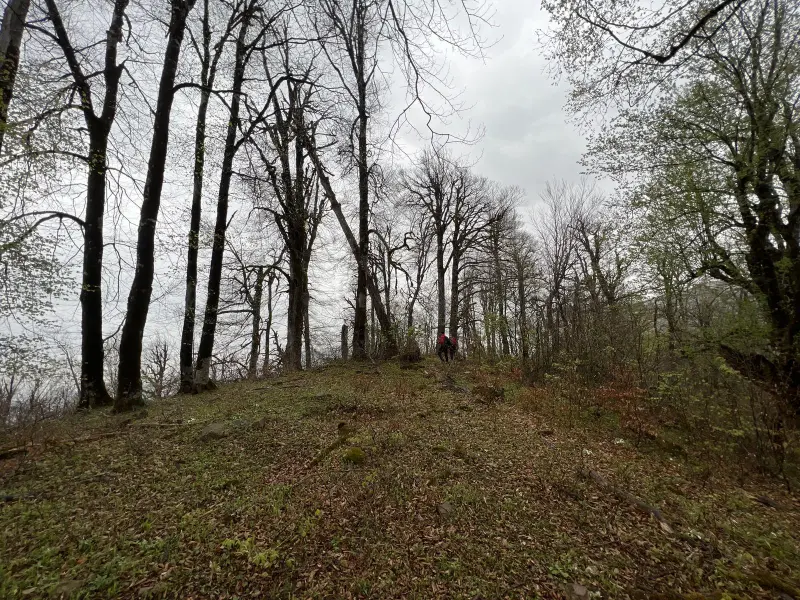
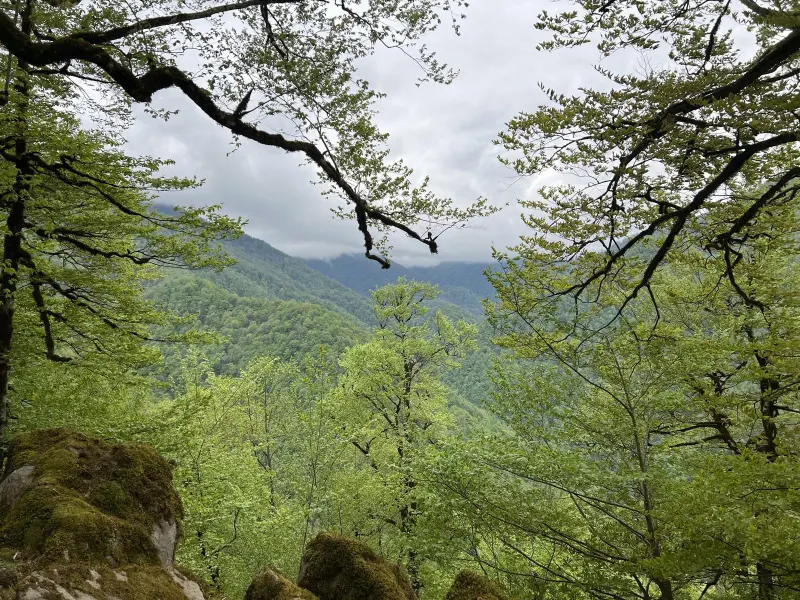
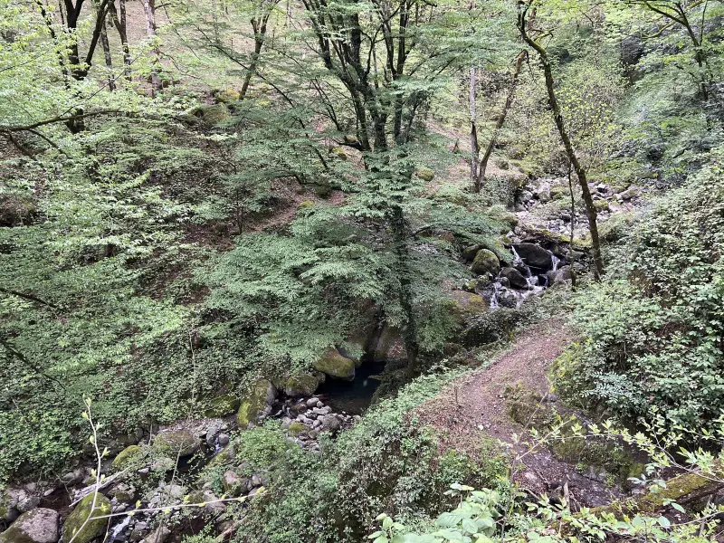
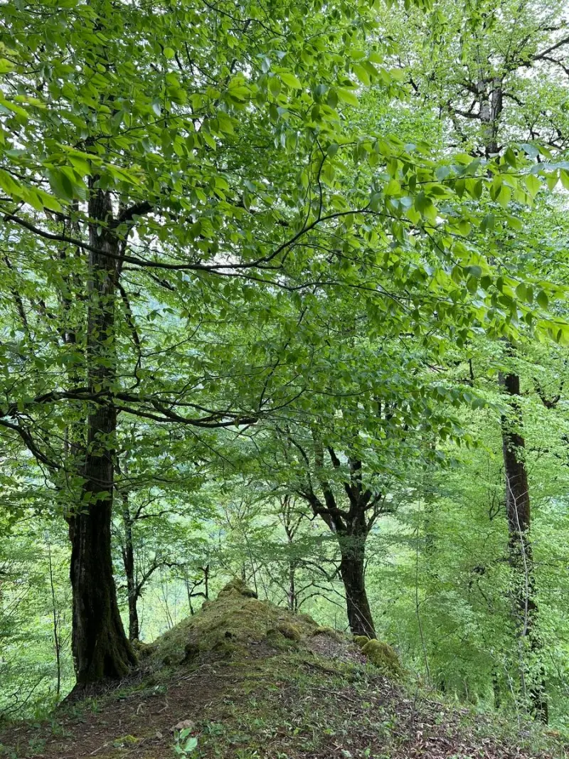
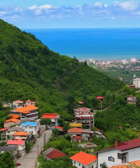
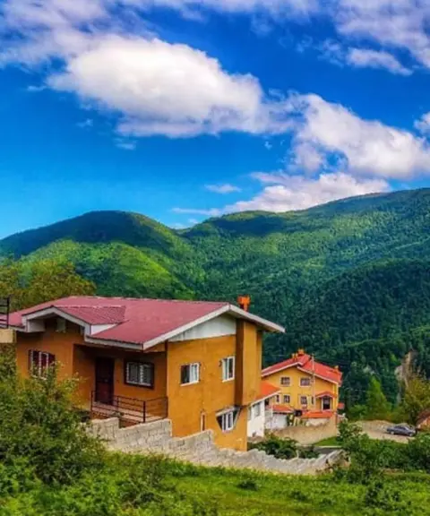
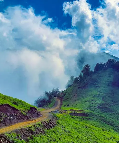
Sehgiti Peak lies in the mountainous area of Chaboksar, on the border between Gilan and Mazandaran provinces. Thanks to its unique position, it overlooks the lush forests of northern Iran and the Caspian coastal plains, and it is known as one of the most beautiful nature-tourism destinations in Gilan. The climbing route usually starts from the surrounding highland villages such as Lat Mahalleh and Oshiyan, and passes through misty forests and rocky trails to reach a summit with a 360-degree view.
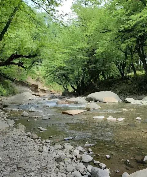
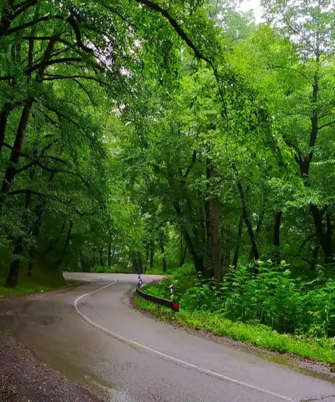
The vegetation on Sehgiti Peak includes beech, maple and alder forests at lower elevations and flowering pastures higher up. In spring, the slopes are covered with blossoms and the scent of mountain flowers, and the thin morning mist creates a dreamlike scene. On clear days, from the top of the peak you can see the sea, mountains and forest all at once, a unique experience and a superb picture of the nature of northern Iran.
The best time to climb Sehgiti Peak is from Ordibehesht (late April) to early autumn; during this period the weather is mild, the trails are safe and the forests stay green. Autumn gives the area a special beauty with the warm colors of the leaves, while in winter snowfall and dense fog turn the peak into a mysterious, enchanting place. It is essential to follow the principles of responsible nature tourism, such as keeping the trail clean, respecting the vegetation and carrying suitable equipment for every season.
Written by ستایش عرب Last updated
What you can do here, and what it takes
مسیرهای روستایی لاتمحله و اوشیان تا قله مناسب صعود نیمهحرفهای و پیمایش چندساعته است.
مسیرهای جنگلی مهآلود و دامنههای پوشیده از گلها برای پیادهروی تفریحی و طبیعتگردی سبک مناسب هستند.
Province Gilan
Province Gilan
Province Gilan
Province Gilan
Province Gilan


Unfortunately, no comments have been registered.