
 Mountain
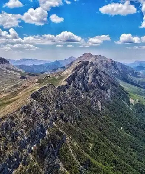

Oprat Summer Pasture
Province Semnan
- Walking
- Horse Riding
- Mountaineering
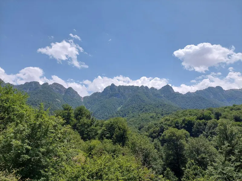
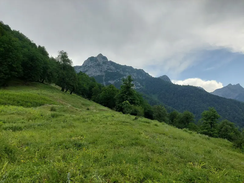
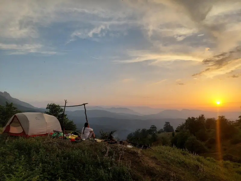
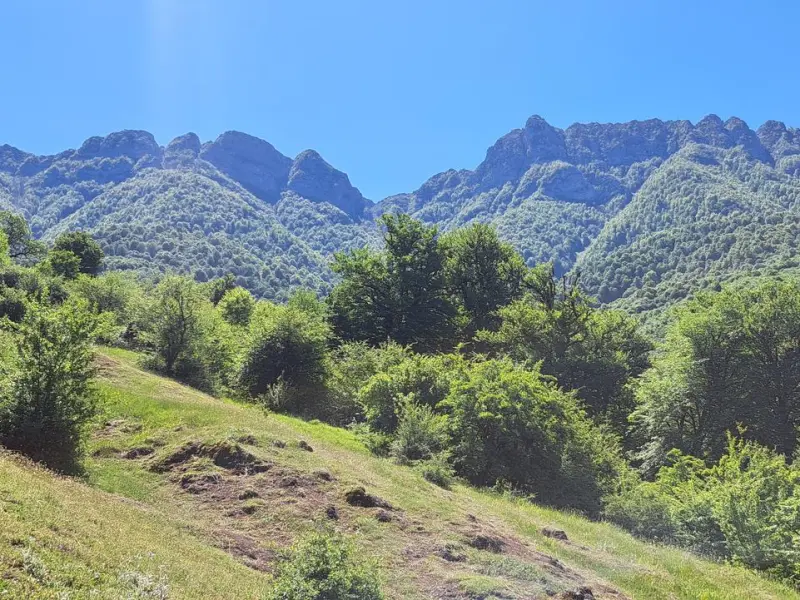
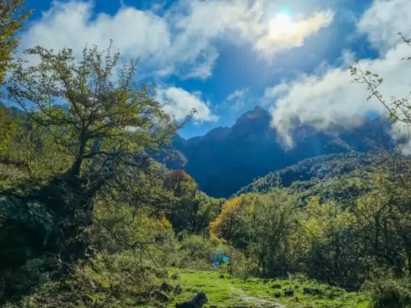
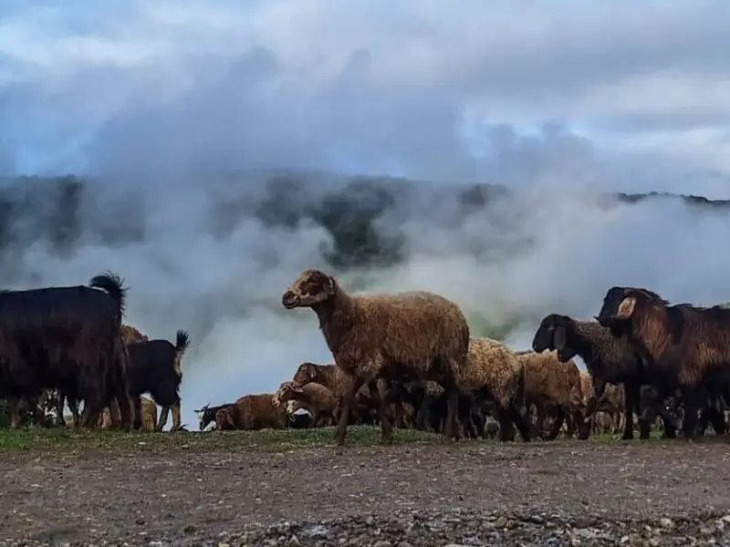
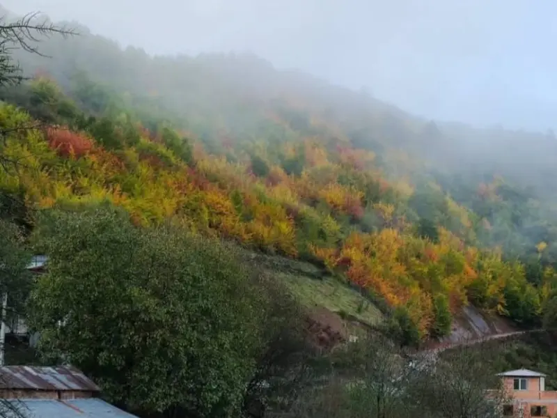
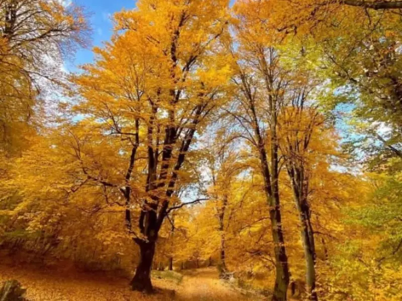
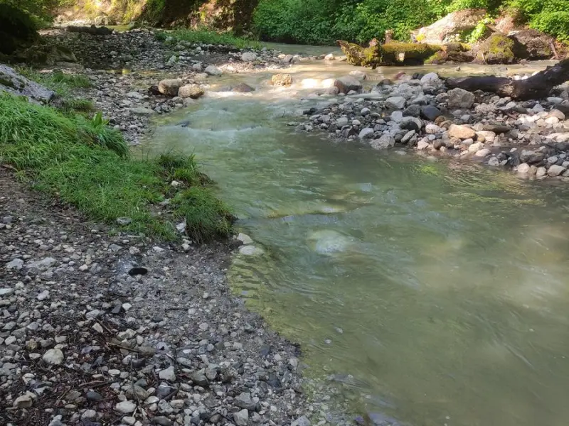
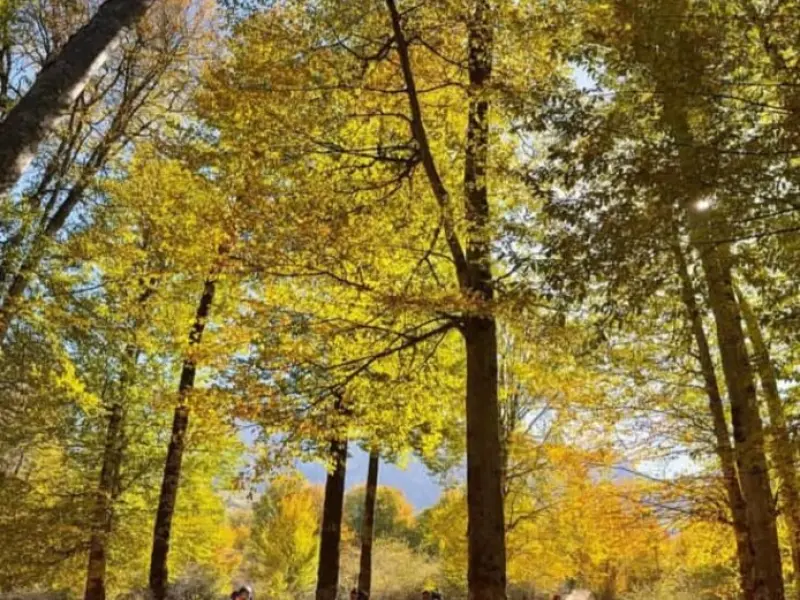
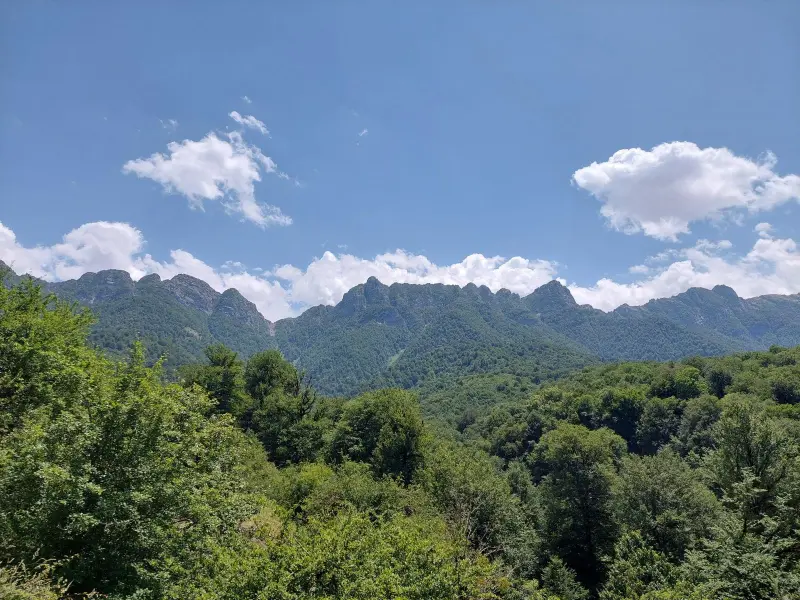
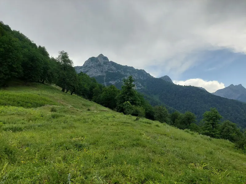
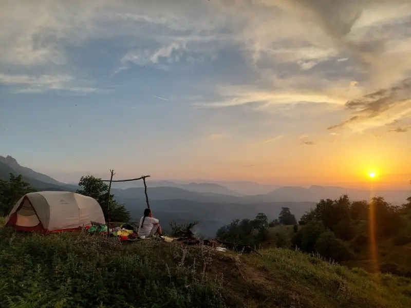
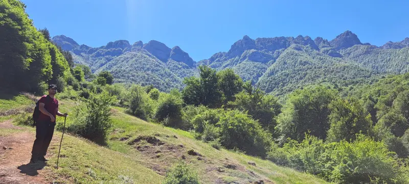
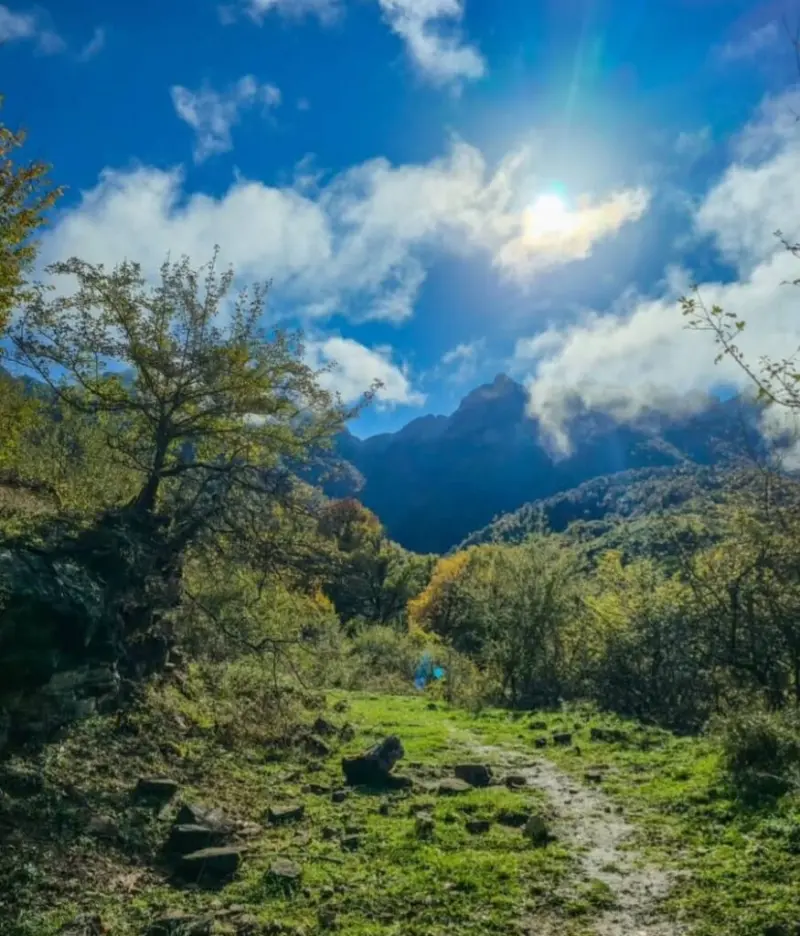
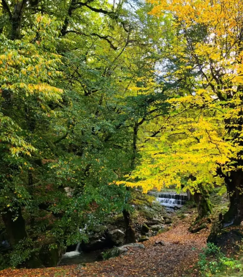
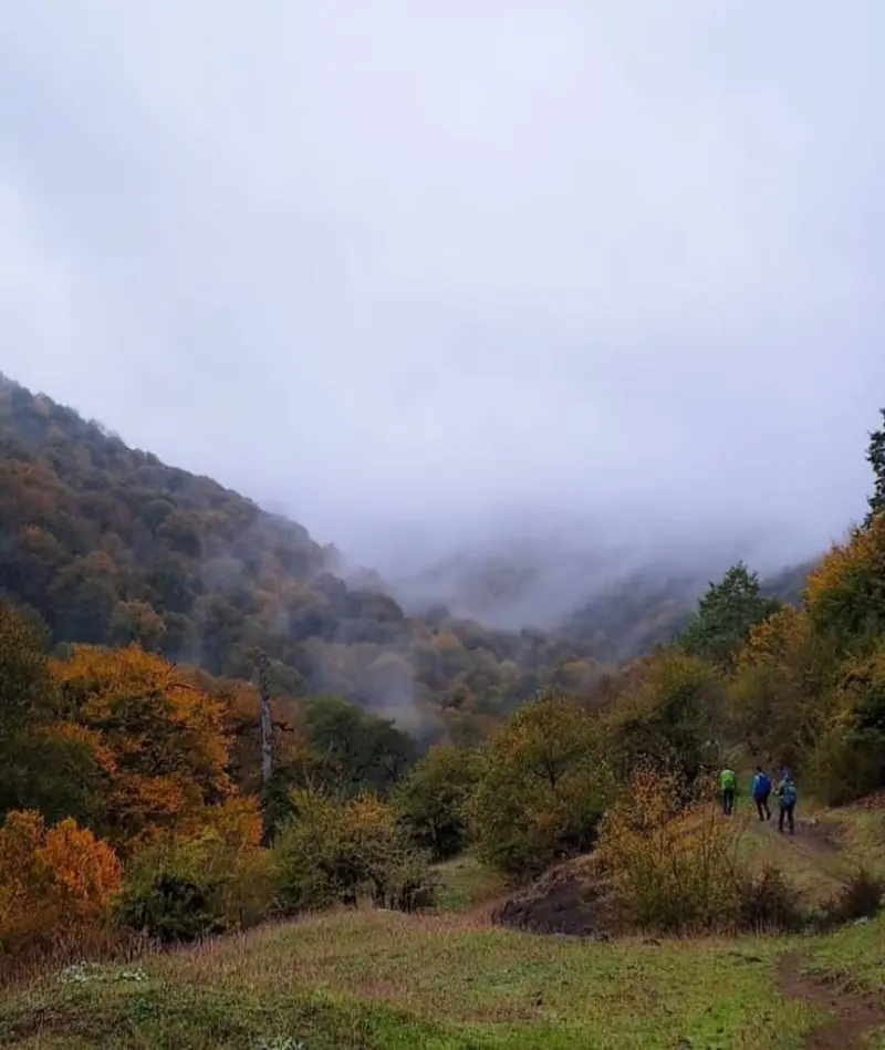
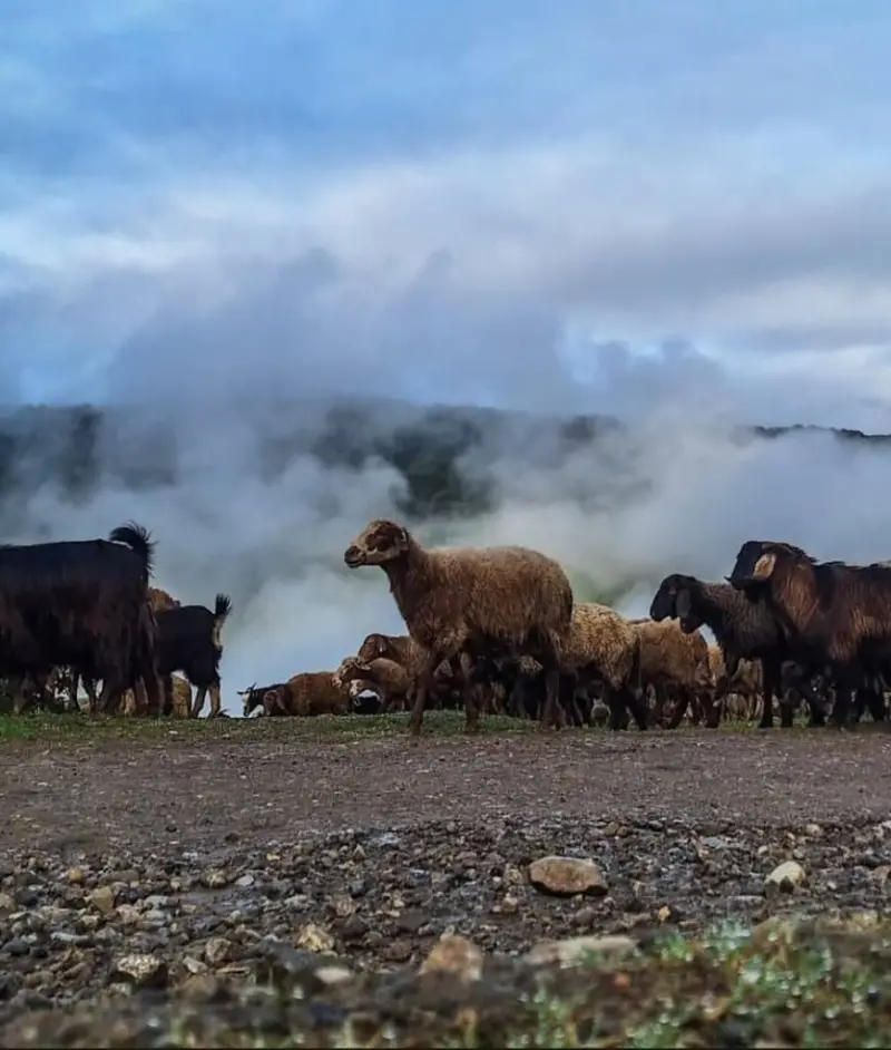
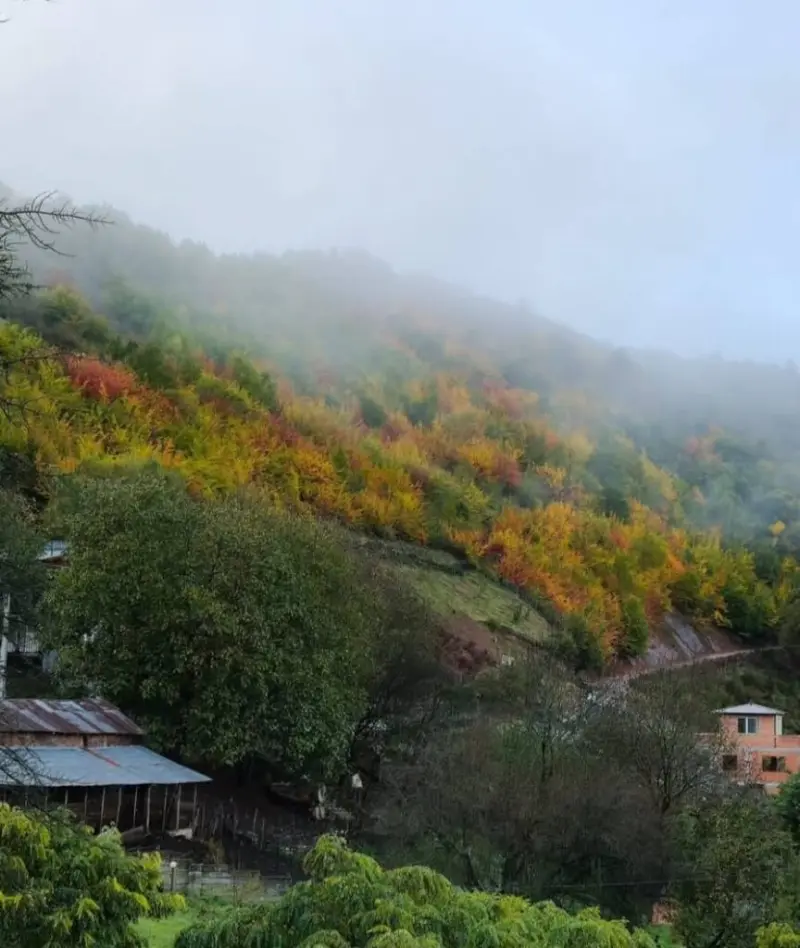
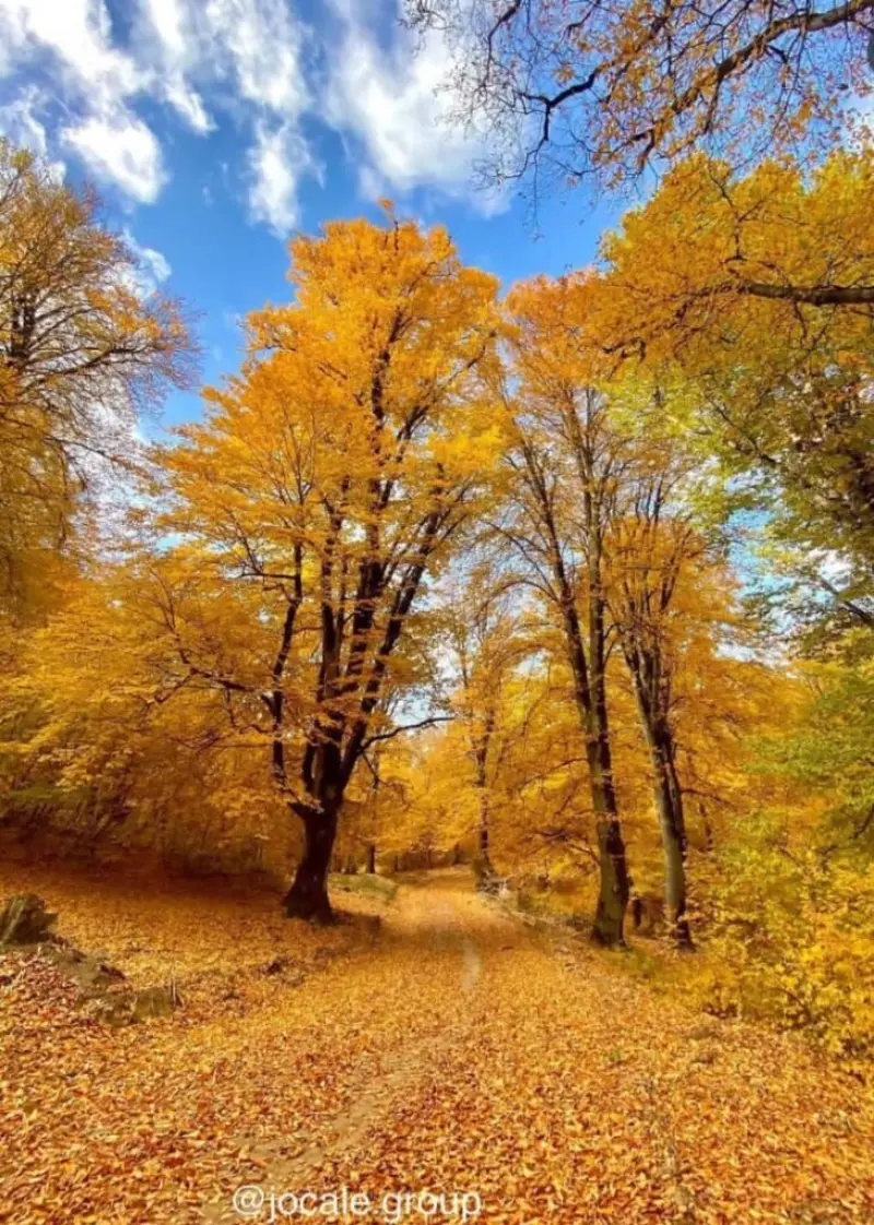
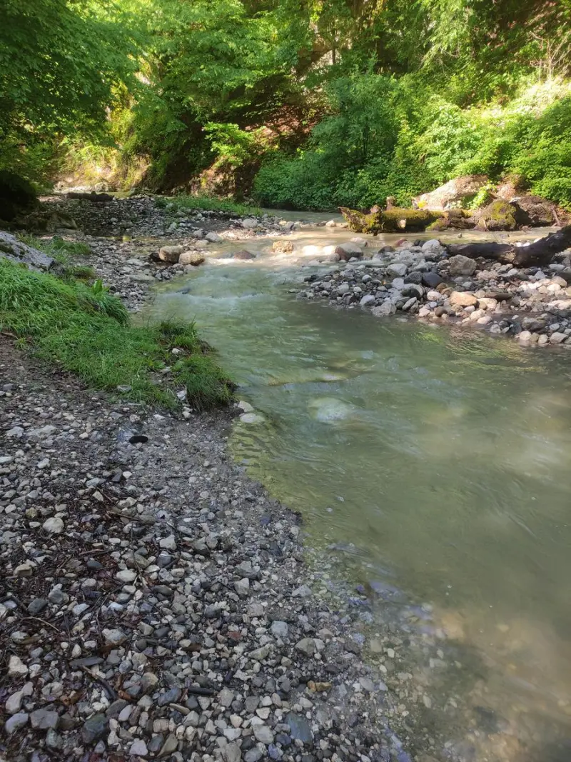
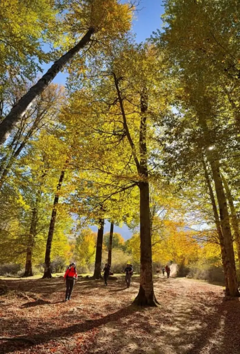
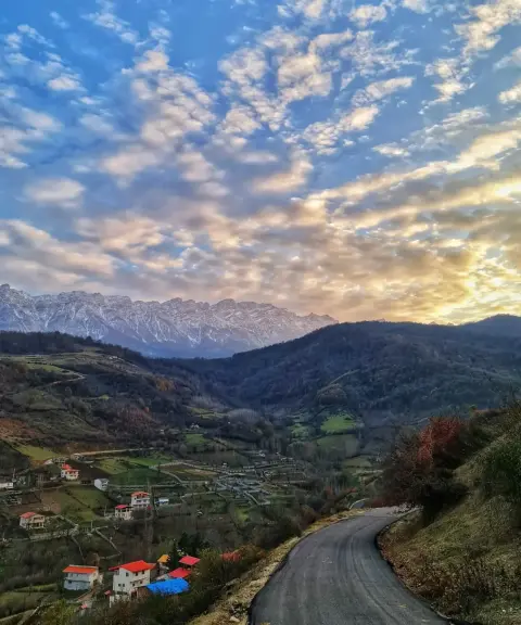
Googli Peak sits on the famous Nero-Khoro ridge, a high point that turns the Dodangeh district of Sari County in Mazandaran Province into a breathtaking landscape. The peak lies near Paji village, next to the village of Miana, and is considered one of the relatively quiet yet appealing climbing routes in northern Iran. Sources give slightly different figures for its exact elevation; some put it at around 2,800 metres.
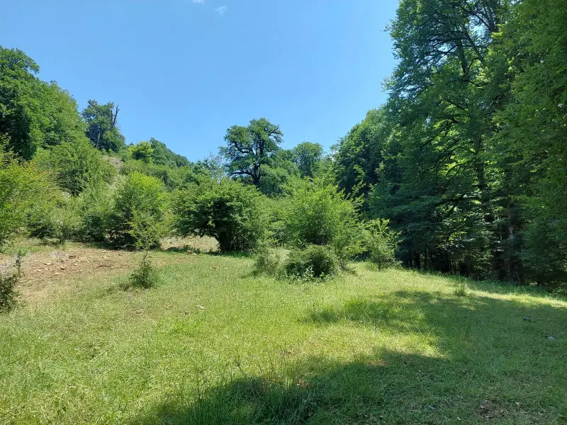
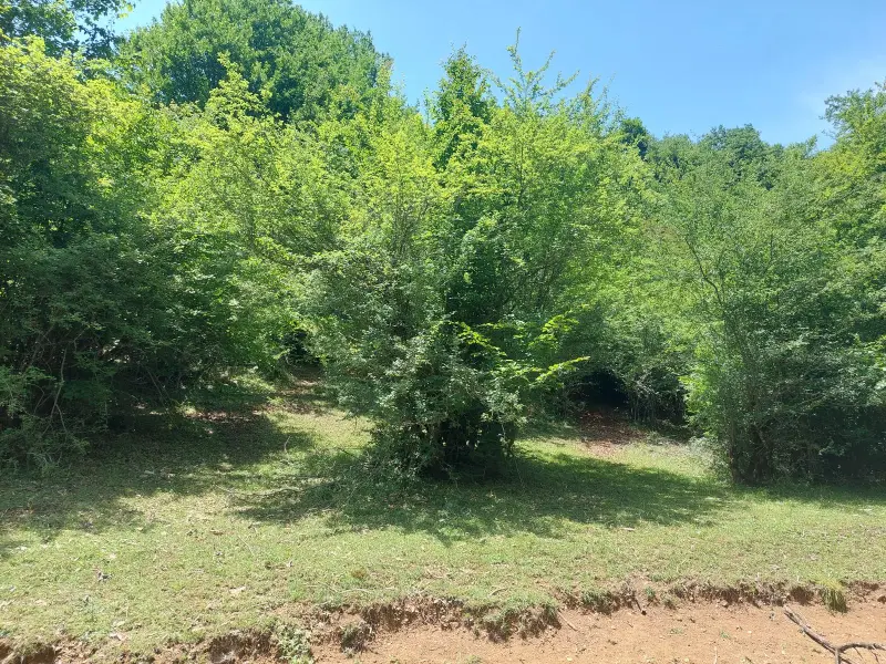
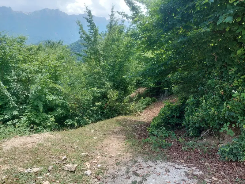
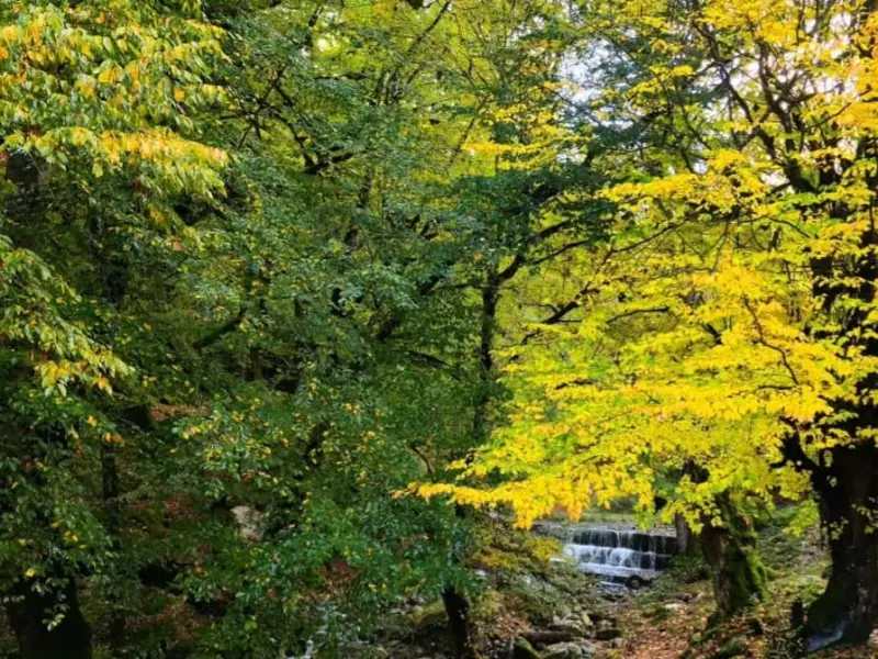
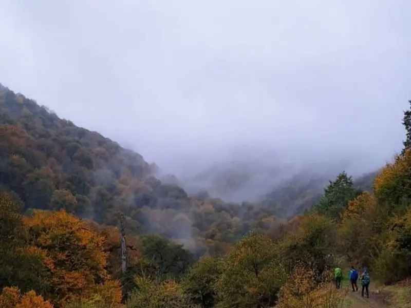
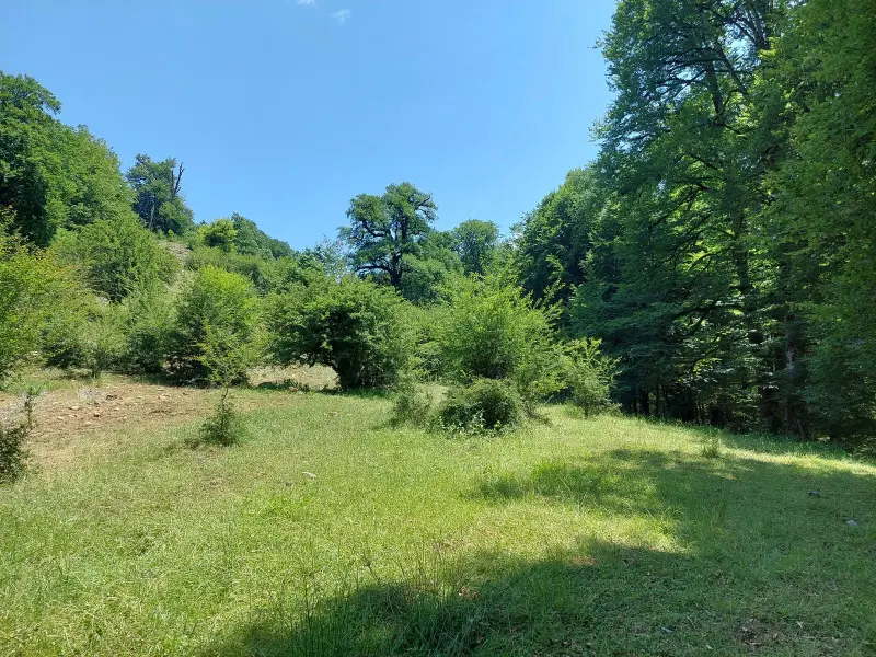
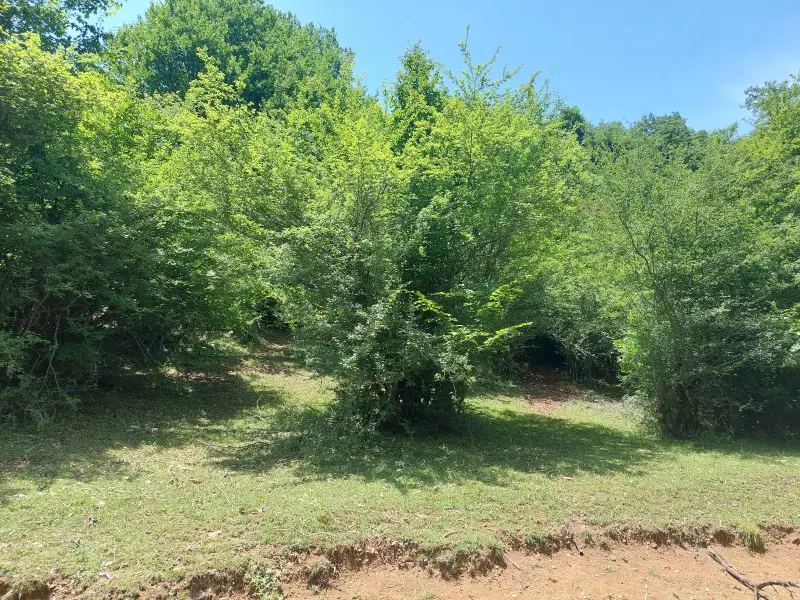
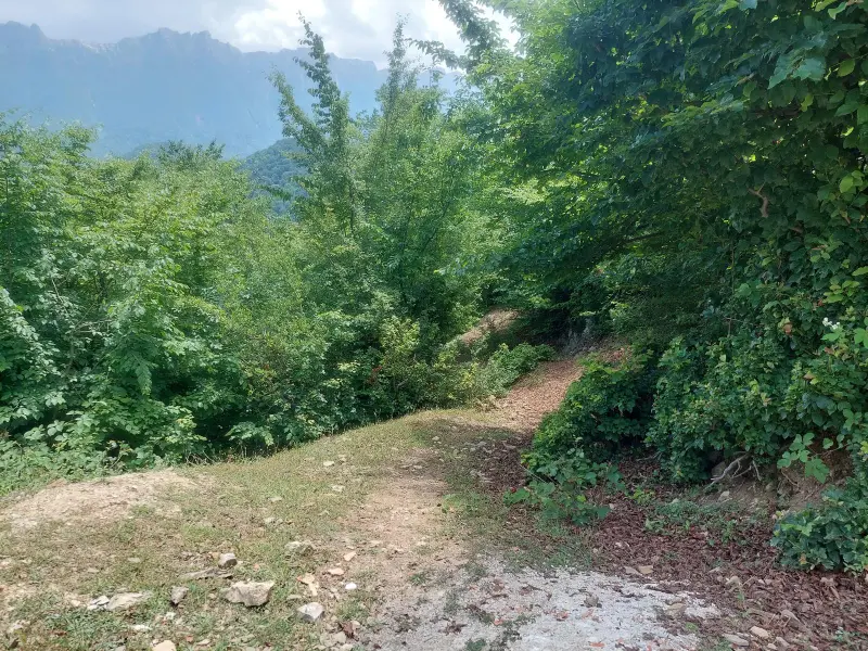
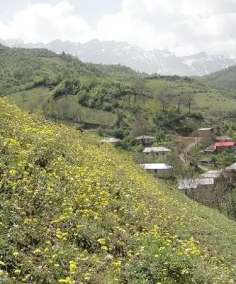
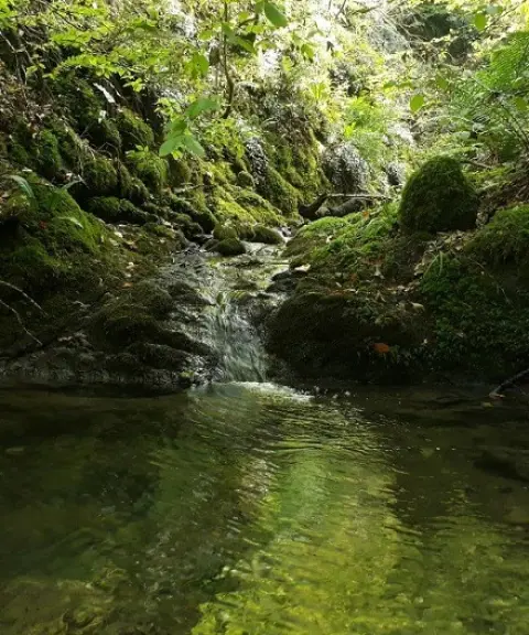
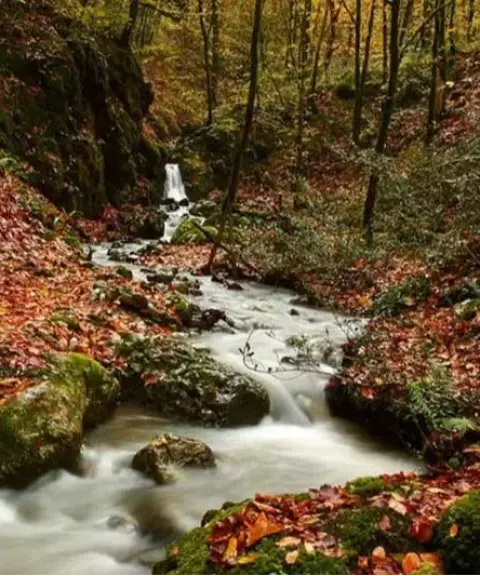
On the climb to Googli Peak, visitors first pass through dense northern forests. This slope belongs to Mazandaran Province and is full of trees such as beech, hornbeam and alder, with thick undergrowth. As you move further towards the summit, the vegetation changes: scree slopes, rocky ridges and steep inclines appear, along with the well-known Cham-Cham or Googli Ghalt route, so named for its many twists and turns. The southern slope of the peak, on the Semnan Province side, has a different cover, with prostrate mountain junipers, drought-resistant plants and a different kind of greenery. This contrast between the north and south sides of the peak is one of its distinctive features.
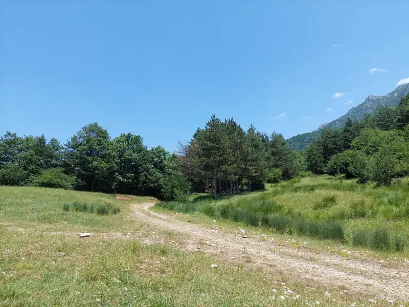
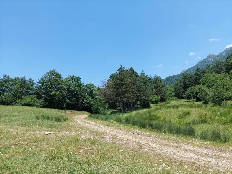
The best time to climb Googli Peak is from spring to early autumn, when the forests are lush, the weather is mild and the trodden paths are in good condition. The trail is easier up to the area around "Mian-ve-She" and "Khorvand Jinga", but the final section towards the rocky ridges requires moderate physical fitness and extra attention to safety. As you approach the summit, you are met with a wide panorama of plains and forests, and a view that seems almost beyond imagination. Googli stands at a point that offers both the green scenery of northern Mazandaran and a view of the Alborz mountain range stretching into the distance. For this reason, it is a very worthwhile experience for lovers of mountaineering, nature tourism and photography.
Written by ستایش عرب Last updated
What you can do here, and what it takes
مسیرهای پاکوب مشخص از روستاهای پاچی و میانا تا قله مناسب کوهنوردی و پیمایش طولانی است که چشماندازهای متنوع جنگل و دشت را ارائه میدهد.
در بخشهای پایینی و دشتهای مرتفع مسیر، پیادهروی تفریحی و مشاهده طبیعت بکر و مناظر اطراف امکانپذیر است.
Province Semnan
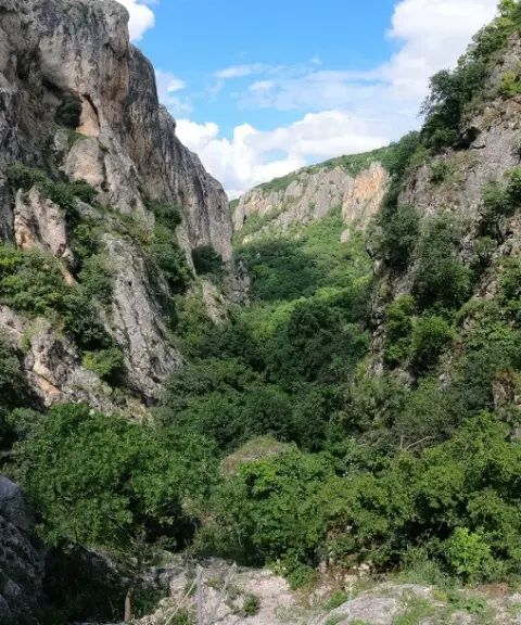
Province Mazandaran
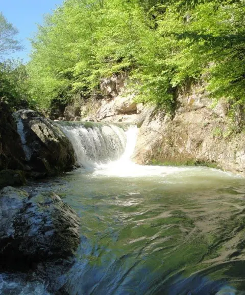
Province Mazandaran
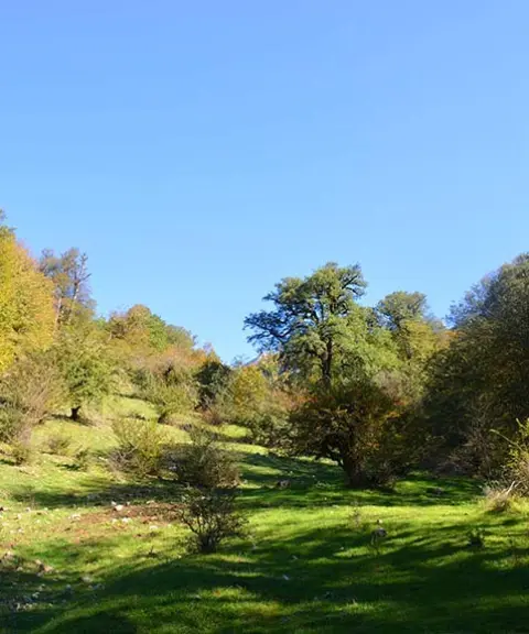
Province Mazandaran
Province Mazandaran
Province Mazandaran


Unfortunately, no comments have been registered.