
 Wetlands
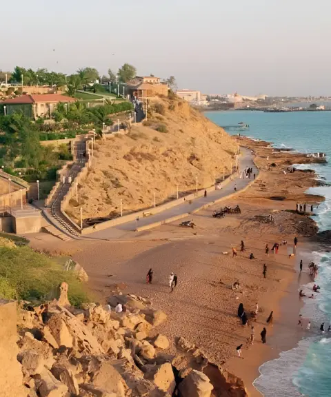

Ramin Village
Province Sistan and Baluchestan
- Walking
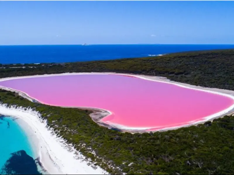
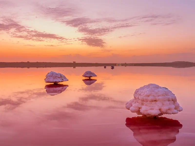
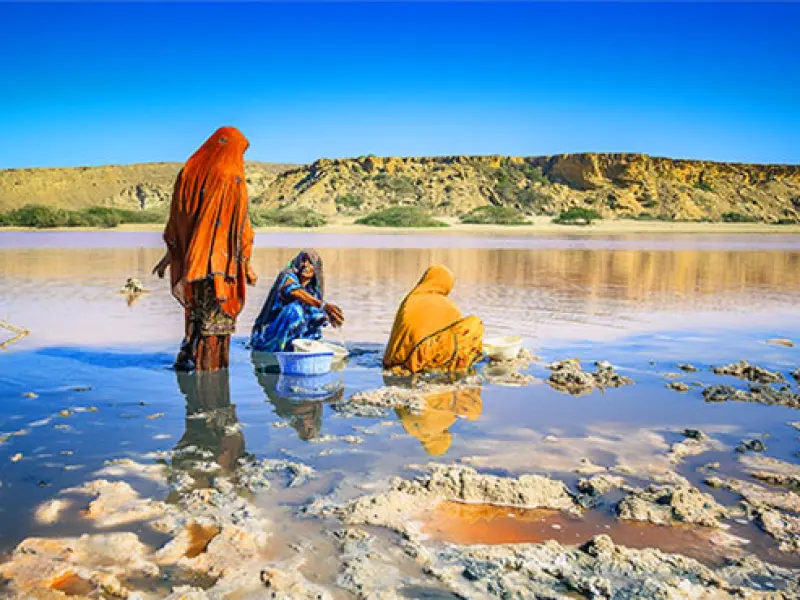
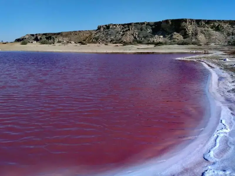
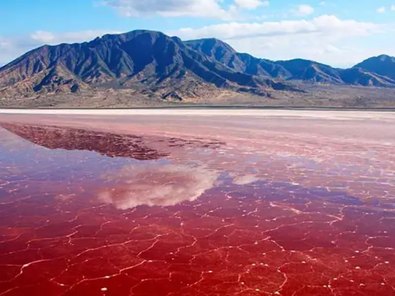
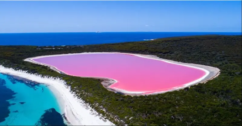
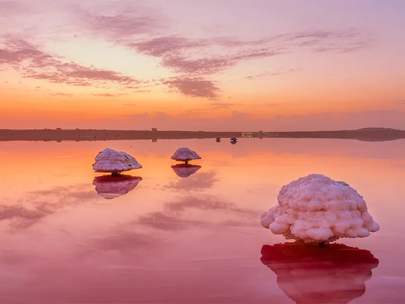
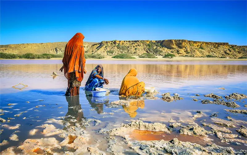
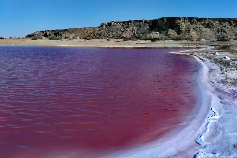
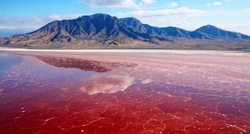
Lipar Wetland, also known as the Pink Wetland, lies on the Makran coast near Chabahar, Iran. Fed by small rivers in the surrounding area, the wetland is pink in color, a hue caused by the plankton living in it. The wetland is at risk of losing its pink color forever, as road and dam construction are among the causes of this environmental disaster. From mid-Khordad to Shahrivar, the number of plankton increases and the pink color of the lake's water becomes more intense. The wetland is one of the most unique natural phenomena on the Makran coast in Sistan and Baluchestan, and according to experts, only four similar examples exist in the world.
The wetland has diverse vegetation, including tamarisk, mangrove and chesh shrubs. Because of the farmland and villages around the wetland, it cannot support a variety of wildlife. However, about 93 species of phytoplankton, 31 groups of zooplankton, 64 species of mollusks, 85 species of fish, 24 species of crustaceans, 14 species of meiobenthos and 46 different kinds of algae have been identified.
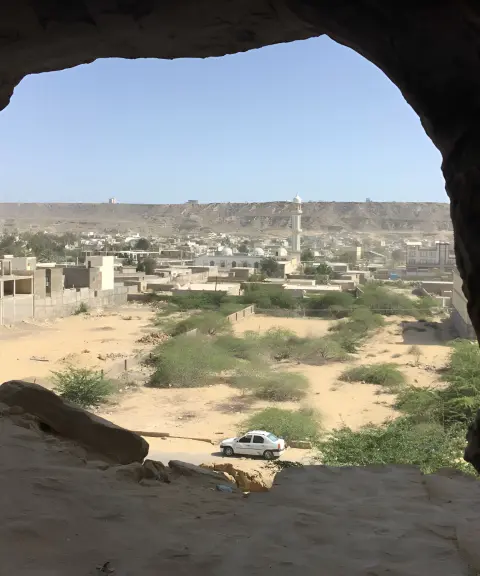
To reach Lipar Wetland, you need to go through the village of Ramin, which is 15 kilometers from Chabahar. The village can be reached via the coastal road from Chabahar to Gwatr Bay. The best time to visit Lipar Wetland is spring and autumn, when the weather is mild. Please note that swimming in Lipar Wetland is not recommended because of the algae.
Written by ستایش عرب Last updated
What you can do here, and what it takes
این مکان مناسب برای قایقرانی است.
کفش مناسب برای پیادهروی به همراه داشته باشید.
Province Sistan and Baluchestan
Province Sistan and Baluchestan

Province Sistan and Baluchestan
Province Sistan and Baluchestan
Province Sistan and Baluchestan
Province Sistan and Baluchestan


Unfortunately, no comments have been registered.