
 Seas and Lakes
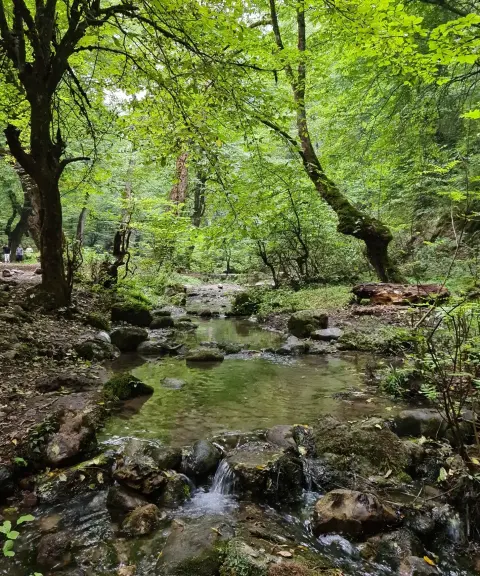

Vargineh Va Spring
Province Mazandaran
- Walking
- Swimming
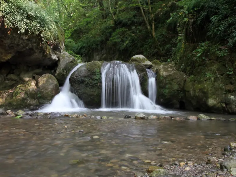
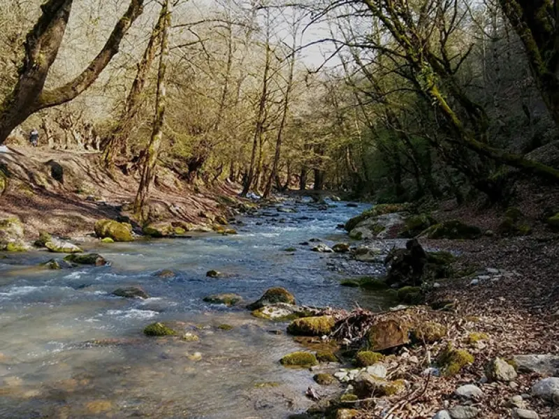
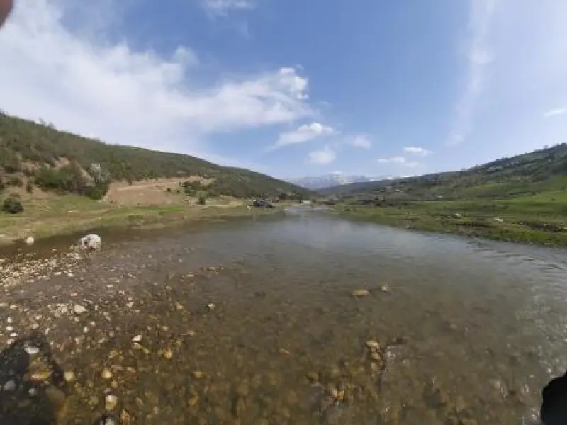
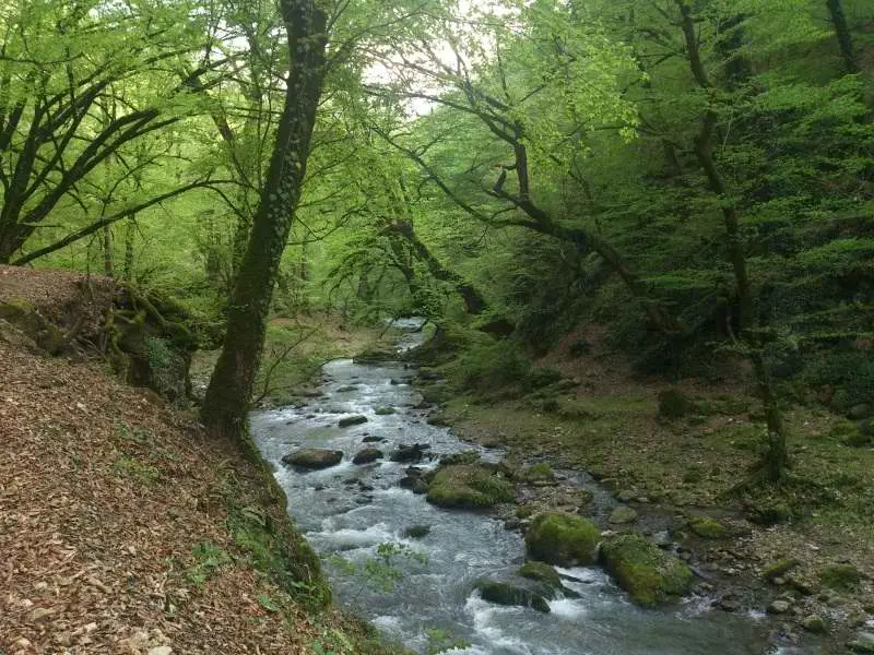
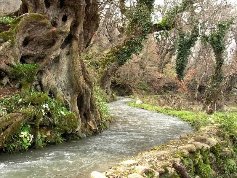
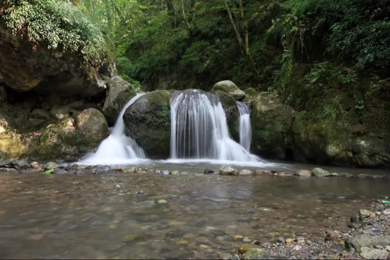
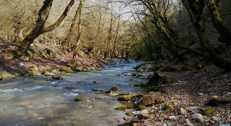
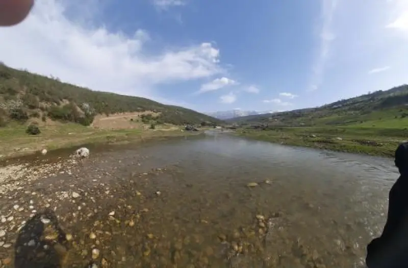
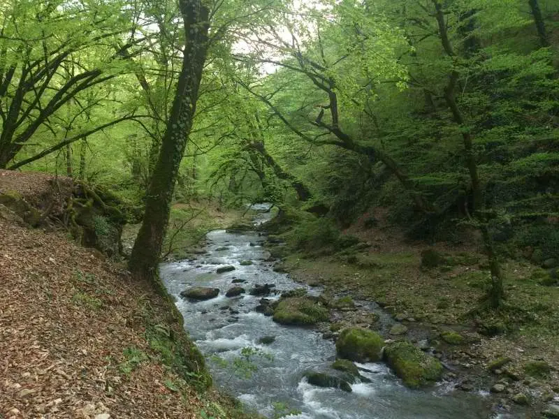
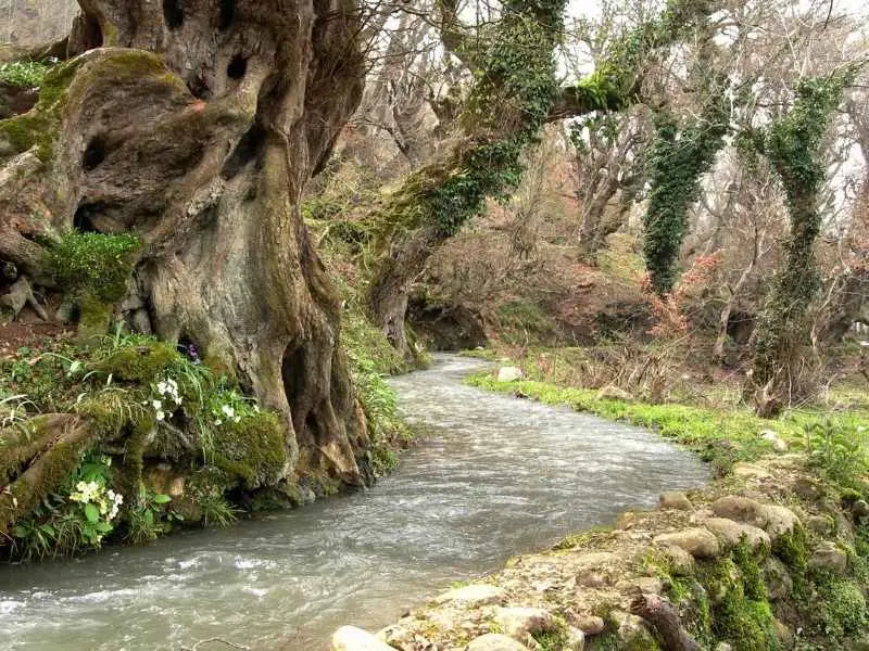
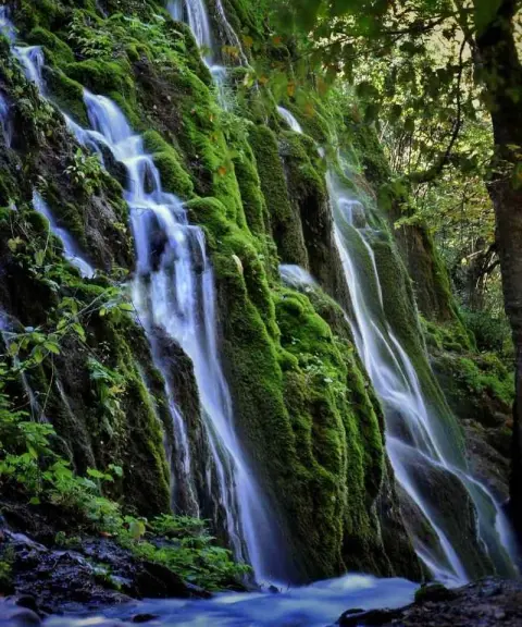
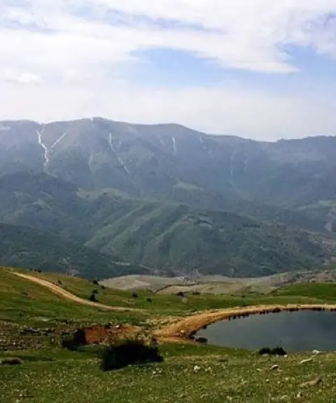
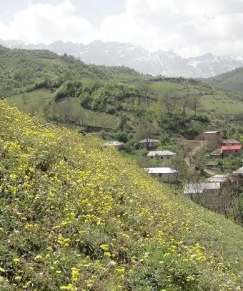
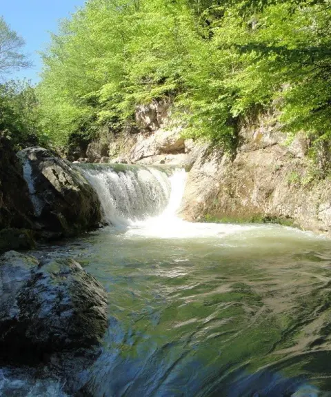
Shirin Rud is one of the natural tourist attractions of Sari County in Mazandaran Province. It is one of the sources of the Tajan River and lies in Khorram Abad village, in the Dodangeh district of Sari County, Mazandaran Province. The village is about 75 kilometres from Sari. The river's water originates in the central Alborz range and the Kharunru ridge, which is also known as the Alps of Iran. Visiting this area means reaching pristine, strikingly beautiful landscapes and climbing to the river's source. Few people have set foot there, and in many places the only way to pass is by wading through the water. On its course, the Shirin Rud of Khorram Abad passes over a variety of rocks and forms several small waterfalls.
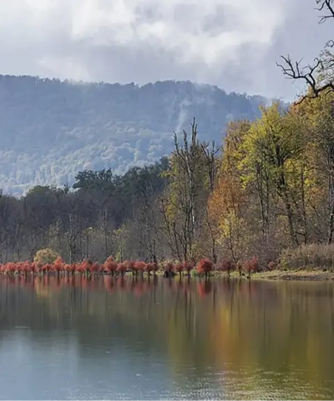
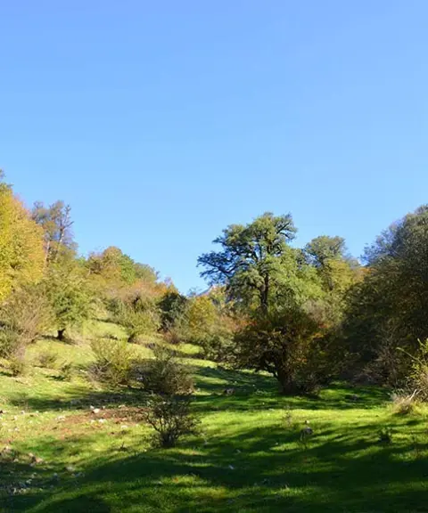
Shirin Rud flows through the heart of the forest, and the many different kinds of trees around it create beautiful scenery. Dense forests of beech, hornbeam and Persian ironwood keep direct sunlight from reaching the area, and the presence of the Shirin Rud of Savadkuh keeps the local climate cool, so that even on the hottest days of the year the temperature only reaches 10 to 15 degrees Celsius. The area's fauna includes various birds, mammals and reptiles. Birds such as swallows, sparrows and owls are seen here in large numbers. Mammals such as the lynx and the wolf may also be found in the area.
The best time for river trekking and playing in the water here is summer, particularly the months of Tir and Mordad (late June to August). If you travel to this area in the colder seasons, be sure to bring warm clothing. As for the car parks near Shirin Rud in Sari, the walking distance to the river itself usually depends on the location of the car park and the road conditions. In general, the walk from the car park to Shirin Rud usually takes between 10 and 30 minutes.
Written by ستایش عرب Last updated
What you can do here, and what it takes
آب این رود بسیار خنک و دمایی حدود 10 تا 15 درجه بالای صفر را دارد.
مسیر پیادهروی تنها در اطراف رودخانه است.
Province Mazandaran
Province Mazandaran
Province Mazandaran
Province Mazandaran
Province Mazandaran


Unfortunately, no comments have been registered.