
 Attractions
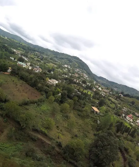
Balakola Village
A Spring Landscape in the Heart of Kolijan Rostaq District
- Attractions
- Mazandaran, Sari
- Altitude 300 m
- Ability level Beginner
Ability level:
Beginner
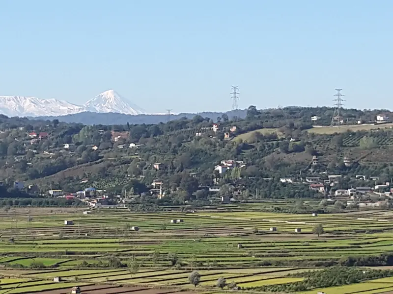
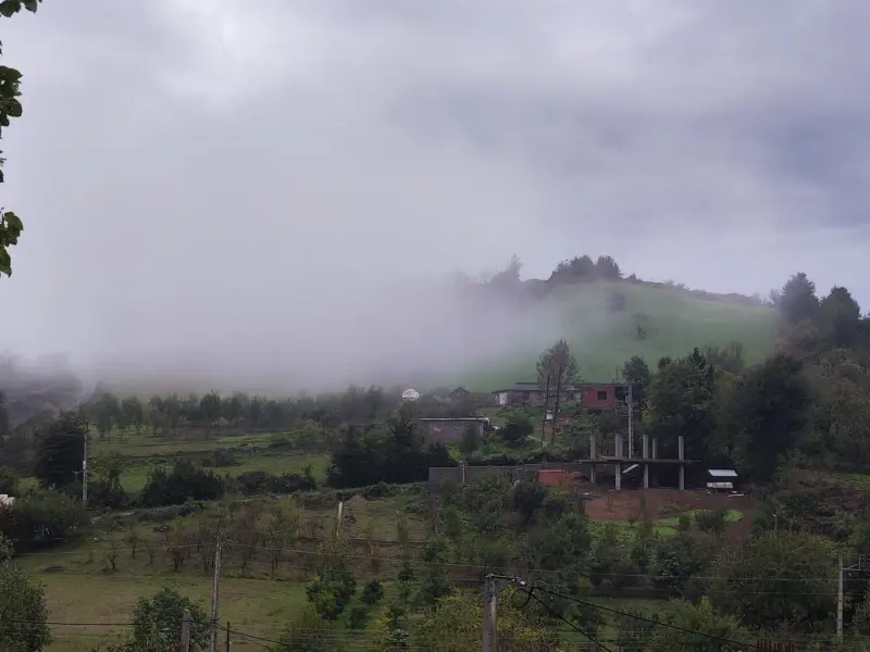
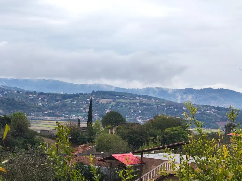
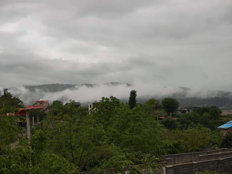
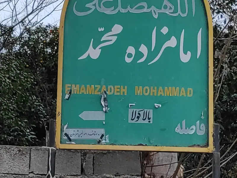
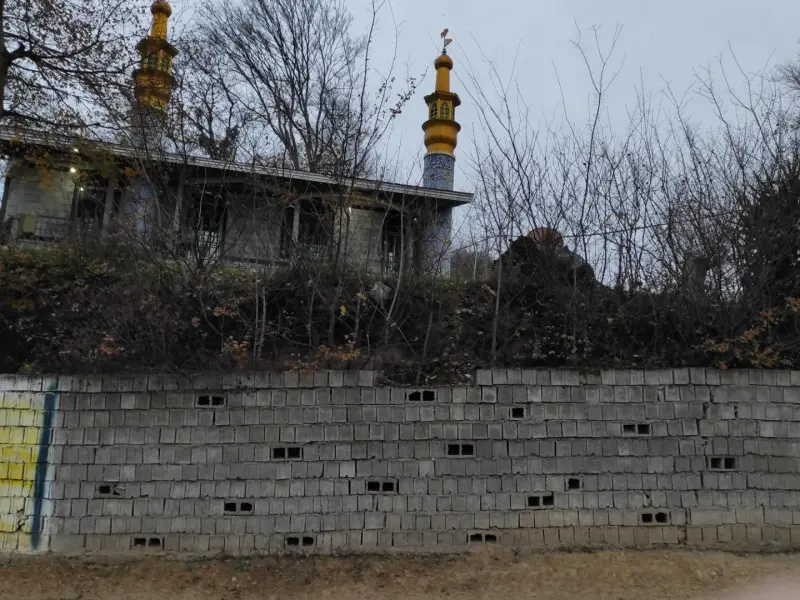
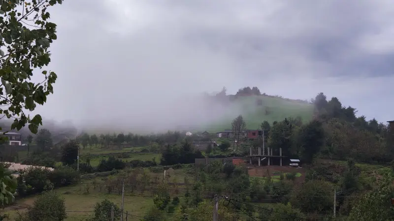
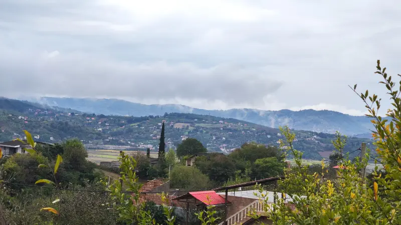
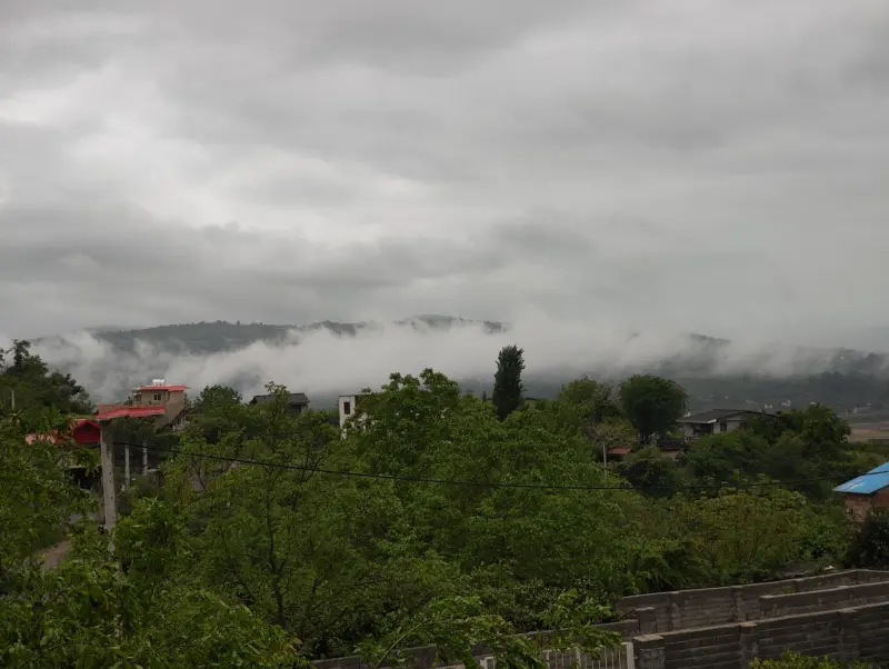
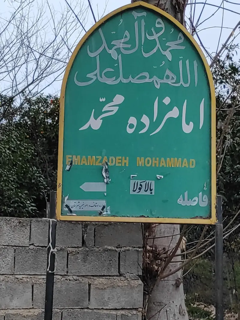
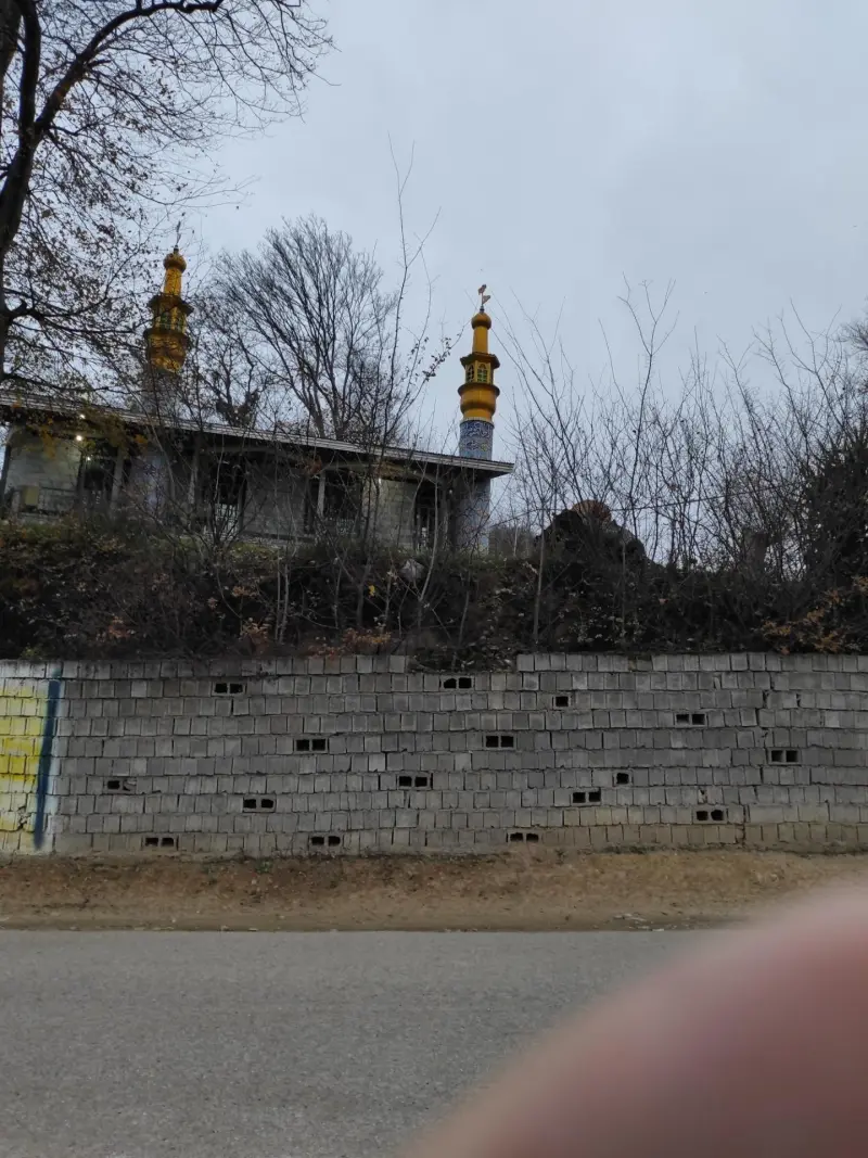
Balakola Village is one of the settlements of Kolijan Rostaq District, in Sari County, Mazandaran Province, Iran. The village lies in Upper Kolijan Rostaq Rural District, about 12 kilometers southeast of the city of Sari. Its pleasant climate and peaceful surroundings have made Balakola a popular destination for short trips and nature tourism.
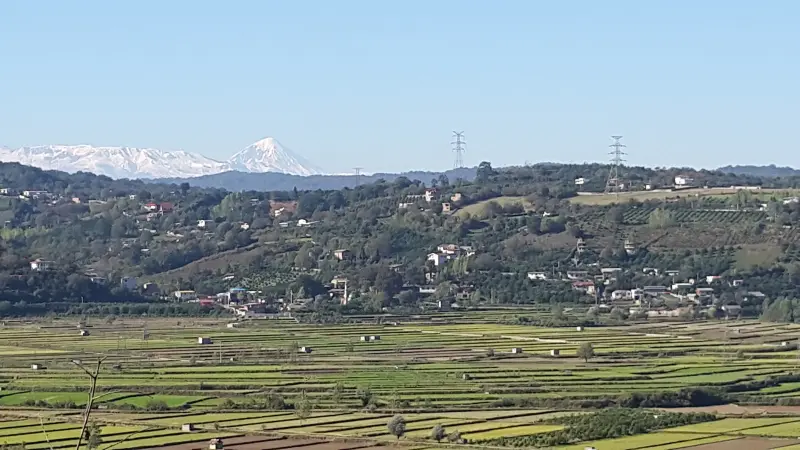
The setting of Balakola combines fertile orchards, forest cover and a foothill location. The local people produce a variety of crops, including rice, wheat, barley, fava beans, citrus fruits, sunflower seeds and local honey. The eastern and northern lands of the village border the Hyrcanian forests, and a river flows next to the village that forms part of the Tajan River basin. This natural combination offers visitors a relaxing experience in the heart of northern Iran's nature.
To reach Balakola from Sari, simply take the Kolijan Rostaq District road and continue toward Upper Kolijan Rostaq Rural District. The route is a passable road, and local signs and direction boards are usually available. Because of the short distance, you can reach the village in about 15 to 20 minutes. The best time to visit is from spring to early summer, when the orchards are in blossom and the weather is mild; autumn, with its colorful forest foliage, is also a good time for nature tourism. On your trip, please respect the natural heritage of the area: collect your trash and do not leave it in the environment, and avoid entering protected areas without a guide.
Written by ستایش عرب Last updated
Activities
What you can do here, and what it takes
-
Walking
مسیرهای پاکوب میان باغها و جنگلهای اطراف روستا مناسب پیادهروی تفریحی و جنگلگردی سبک هستند.
-
Cycling
جادههای روستایی و جادههای خاکی پیرامون روستا امکان مناسبی برای دوچرخهسواری فراهم میکنند.
Specifications
Introduction of the location and specifications of Balakola Village
Location:
Mazandaran, Sari
Coordinates:
36.45770603, 53.13988199
Open in maps
Height above mean sea:
300 meter
Floras:
Temperate Broadleaf and Mixed Forests
Faunas:
Presence of Predatory Animals, Presence of Allergenic Insects, Presence of Herbivorous Animals
Transports:
Private car, Minibus, Bus
Tourist Attractions in Sari
Attractions that are nearby

Sarkat Village
Province Mazandaran
- Walking
- Paragliding
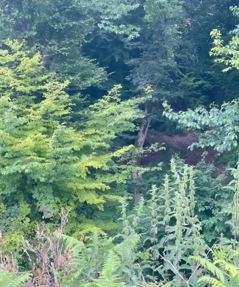
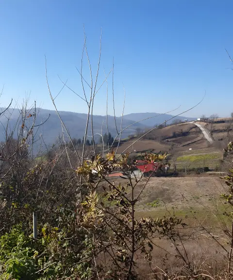
A high-altitude viewpoint and paragliding launch site in the heart of Sari's nature
Darvar Village
Province Mazandaran
- Walking
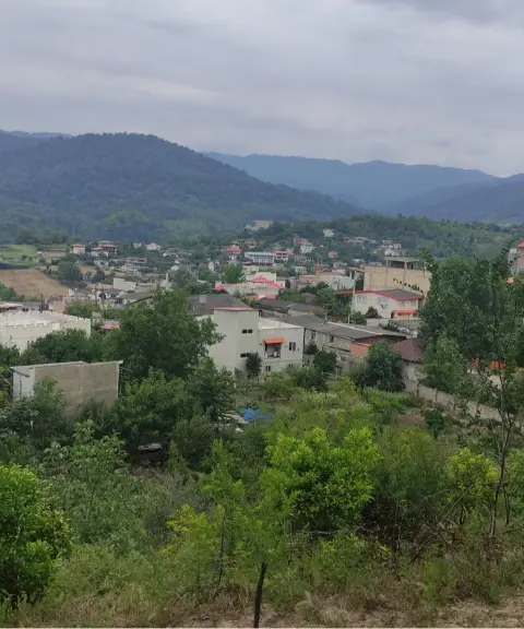
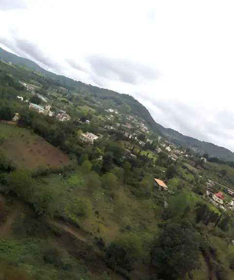
A lush village among the Hyrcanian forests and the foothills of the Alborz
Related tags:
Unfortunately, no comments have been registered.