
 Attractions
- Ability level Intermediate
Ability level:
Intermediate
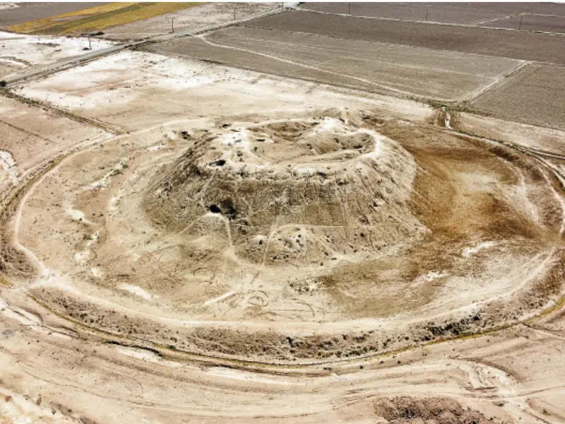
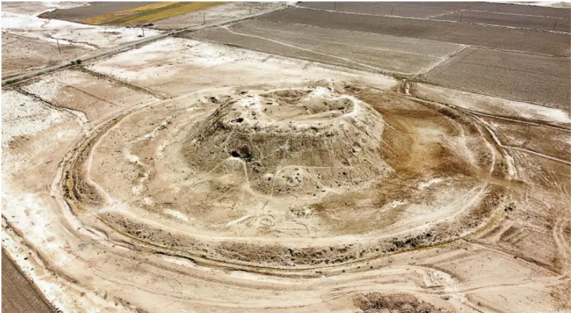
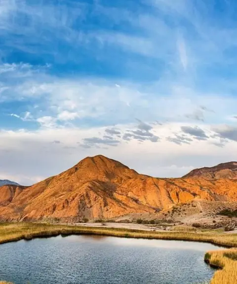
Gholabad Hill, also known as Ghol Tappeh, lies near the village of Ghiyasabad in Garmsar County and is one of the tallest ancient mounds on the Garmsar Plain. This cone-shaped hill is about 15 meters high and about 180 meters in diameter, and it is surrounded by a protective earthen embankment, which hints at its possible military or defensive use in the past. Archaeologists believe that parts of the hill belong to an Islamic-era fortress, since brick columns, an arch and walls built with distinctive mud bricks have been found in its soil.
This ancient site was inhabited from the Neolithic period to the Islamic era, and pottery dating from the 6th to the 8th century AH has been found on its surface and around it. The name Gholabad comes from local beliefs: people attest to the grand stature of the hill's builders, and legends are told of superhuman figures living there. It is also said that beside the hill there is a corridor or cave, possibly the entrance to the fortress, which has not yet been professionally excavated.
To reach Gholabad Hill, head south from the city of Garmsar, and after passing through the village of Ghiyasabad, continue west. The access roads to the area are unpaved but in good condition. The best time to visit is spring or autumn. In spring, the plain around the hill is covered with wildflowers, and the mild weather makes for a pleasant outing. Autumn, with its cool air and warm-colored leaves, offers an excellent opportunity for photography and nature walks. When visiting, it is essential to follow responsible nature-travel principles, including not leaving any litter and respecting the boundaries of historical sites.
Written by ستایش عرب Last updated
Activities
What you can do here, and what it takes
-
Walking
مسیرهای اطراف تپه برای پیادهروی و گشتوگذار مناسب هستند.
Specifications
Introduction of the location and specifications of Gholabad Hill
Location:
Semnan, Garmsar
Coordinates:
35.19963492, 52.27501020
Open in maps
Height above mean sea:
828 meter
Floras:
Deserts and Dry Shrublands
Faunas:
Presence of Predatory Animals, Presence of Allergenic Insects, Presence of Herbivorous Animals
Transports:
Private car, Walking, Minibus, Bus
Tourist Attractions in Garmsar
Attractions that are nearby

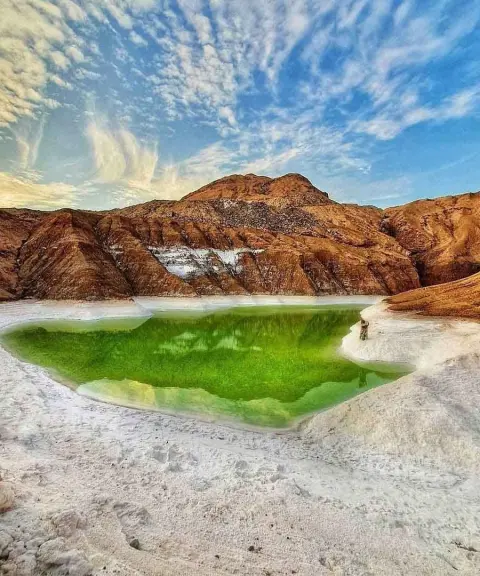

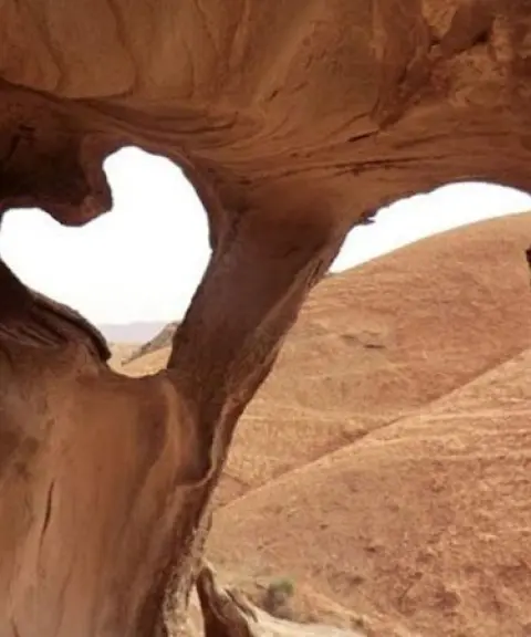

Eivanaki Erosion Valley
Province Semnan
- Walking
Nature's Wind-Carved Sculptures in the Heart of Semnan

Related tags:
Unfortunately, no comments have been registered.