
 Attractions
Shah Firuz Tomb
An Ilkhanid relic atop the rocky cliffs of Sirjan
- Attractions
- Kerman, Sirjan
- Altitude 1,700 m
- Ability level Beginner
Ability level:
Beginner
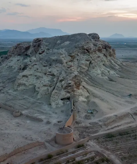
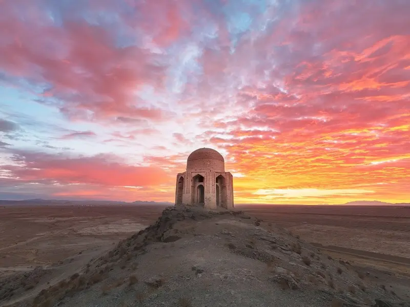
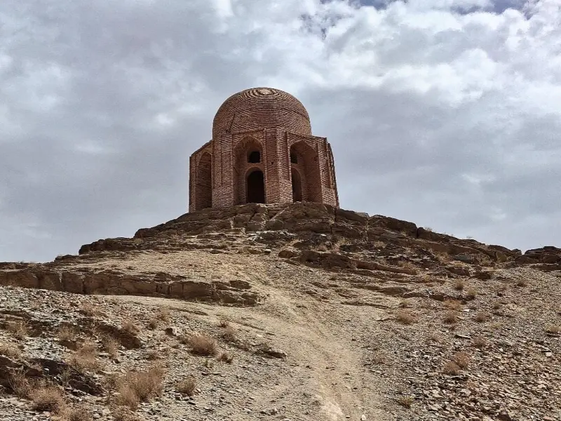
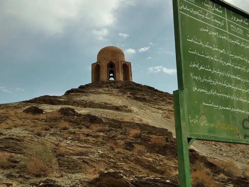
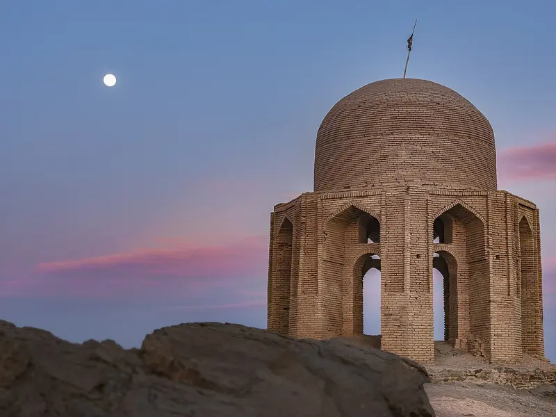
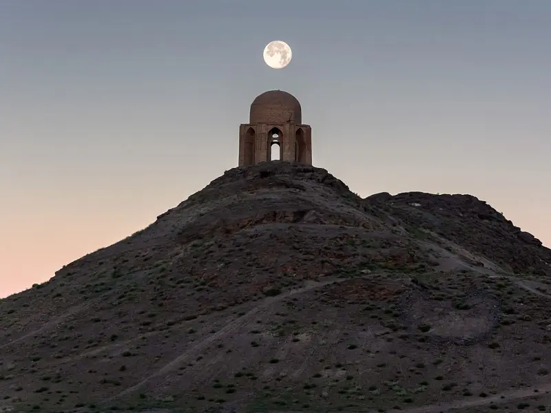
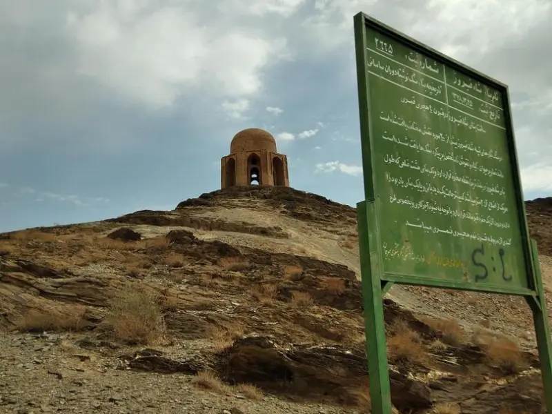
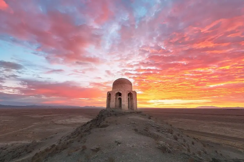
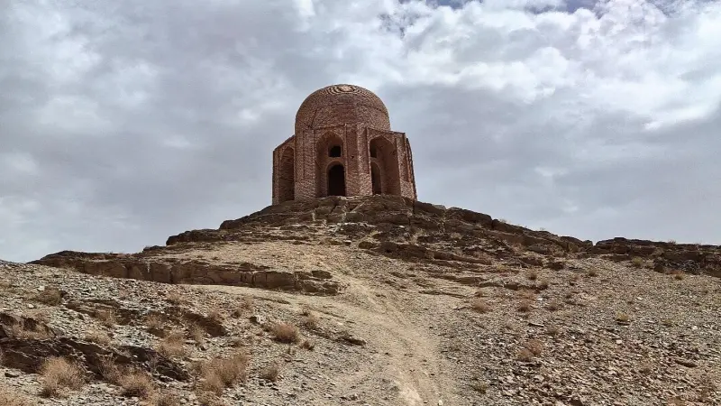
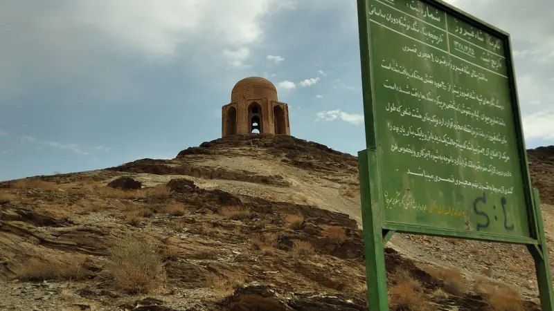
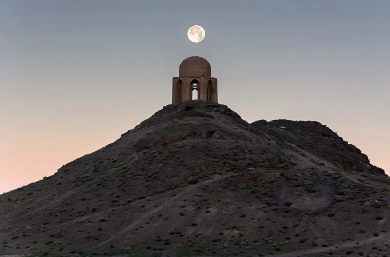
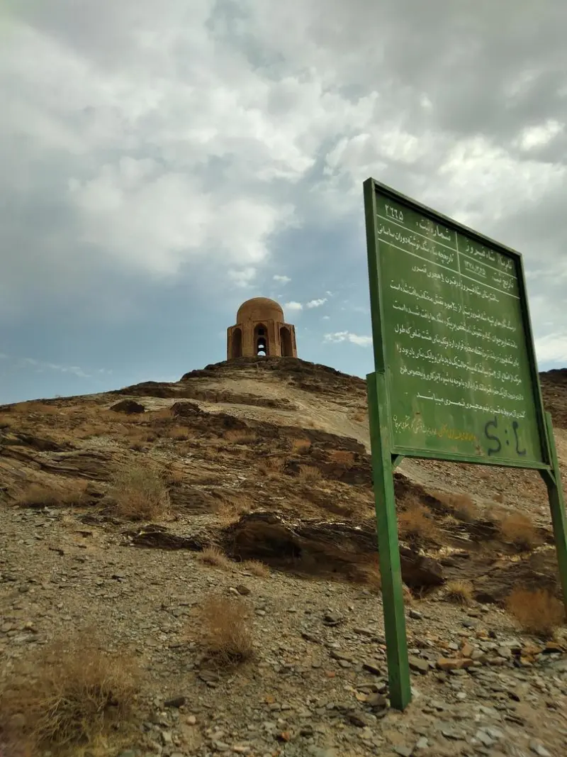
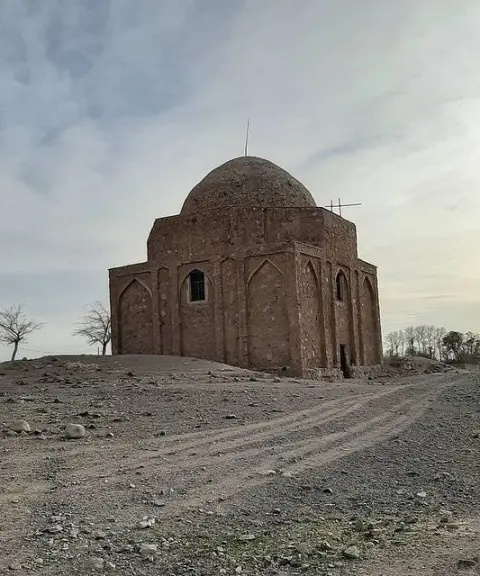
The Shah Firuz Tomb is a prominent historical monument from the Ilkhanid era, located in Sirjan County, Kerman Province. The tomb stands about 14 kilometres southeast of the city of Sirjan, built on top of a tall outcrop of dark green stone roughly 30 metres high. It lies near the village of Vahdatabad and next to the Sirjan Stone Fortress (Qaleh Sang). The monument was added to the Iran National Heritage list on 25 Esfand 1378 (Solar Hijri) under registration number 2665.
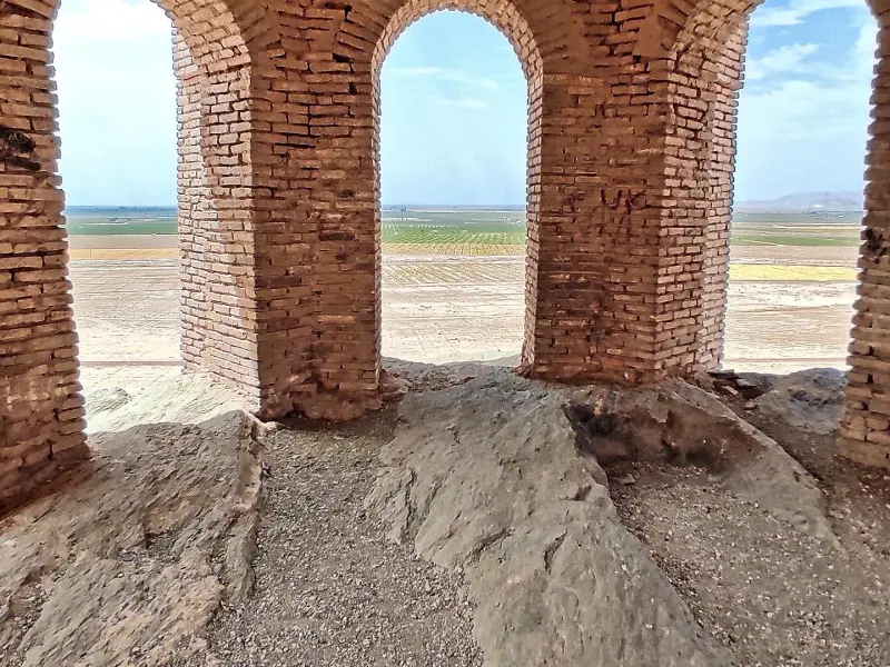
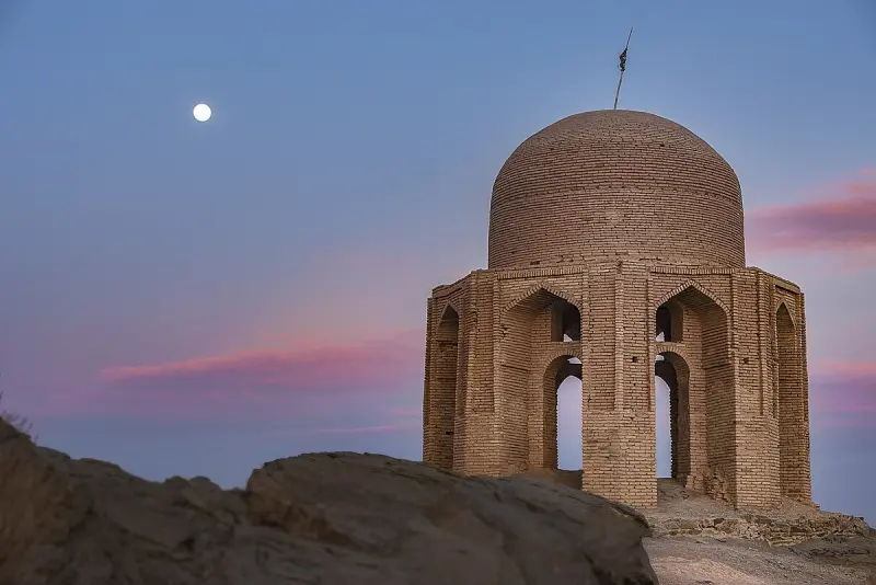
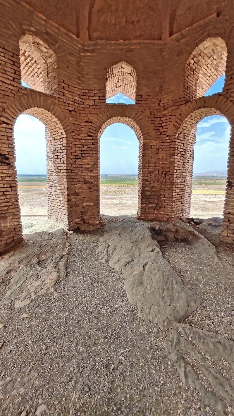
The tomb has an octagonal plan. Each of its interior sides is about 2 metres long, while the exterior sides are about 4 metres long. Eight piers, each about 1.5 metres in diameter, support the structure, and a double-shell dome rises above it; the dome has an opening diameter of about 5 metres, with a gap of roughly 1 metre between its two shells. The building has four blind arcades (tāq-nama) with curved and pointed arches. Unfortunately, half of the piers and more than half of the dome have been destroyed. A grave about 2.5 metres long, 63 centimetres wide and roughly 40 centimetres deep has been carved into the rock, but the original gravestone has been lost and the identity of the person buried here is unknown.
According to some local beliefs, the tomb belongs to a prominent figure such as Abu Kalijar ibn Adud al-Dawla or his son, who is said to have died during a hunt, with the site built in his honour. Another tale says that camel milk was used in the building materials to make them stronger. Although there is no clear historical evidence to support these accounts, the old potsherds scattered around the tomb suggest that the area was once inhabited or used by people and has an ancient history.
To reach the Shah Firuz Tomb, simply head southeast out of Sirjan and, after about 14 kilometres, you will arrive at the village of Vahdatabad. From there, local roads and dirt tracks lead to the foot of the rocky hill on which the tomb stands. The best seasons to visit this historical site are spring and autumn, when the weather is mild and pleasant, making it ideal for cultural exploration and nature touring. Visitors are also encouraged to behave respectfully, follow safety guidelines and observe environmental principles on site, as the monument is in a semi-ruined state and protecting it requires everyone's care.
Written by زهرا لنگری Last updated
Activities
What you can do here, and what it takes
-
Walking
مسیرهای خاکی و پاکوب اطراف تپه مناسب برای پیادهروی سبک و مشاهده جزئیات تاریخی بنا هستند.
Specifications
Introduction of the location and specifications of Shah Firuz Tomb
Construction Period:
Ilkhanid
Location:
Kerman, Sirjan
Coordinates:
29.36223454, 55.81913803
Open in maps
Height above mean sea:
1700 meter
Floras:
Deserts and Dry Shrublands
Faunas:
Presence of Allergenic Insects, Presence of Herbivorous Animals
Transports:
Private car, Minibus, Bus
Tourist Attractions in Kerman
Attractions that are nearby

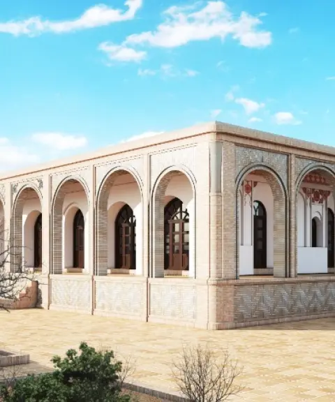
Sadrzadeh Mansion
Province Kerman
- Walking
A glimpse of Qajar architecture in a pistachio garden in Sirjan
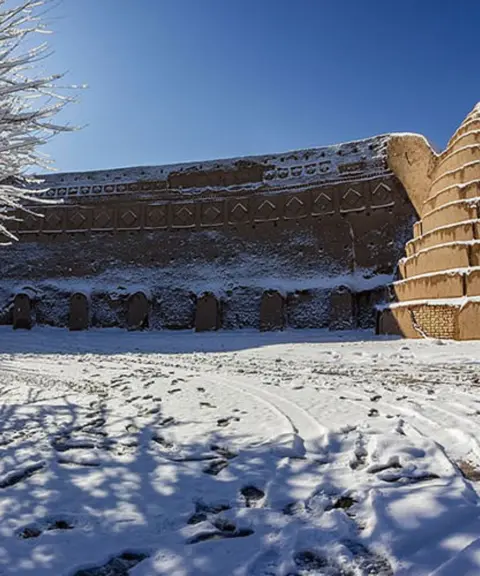
Twin Ice Houses of Sirjan
Province Kerman
- Walking
A masterpiece of traditional architecture in the heart of the desert

Gohar Park
Province Kerman
- Walking
- Cycling
The Largest Recreational and Tourist Village in the Middle East
Related tags:
Unfortunately, no comments have been registered.