
 River
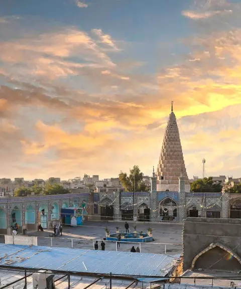
Shavur River
A Stream of History and Nature in the Heart of Susa
- River
- Khuzestan, Shush
- Altitude 73 m
- Ability level Beginner
Ability level:
Beginner
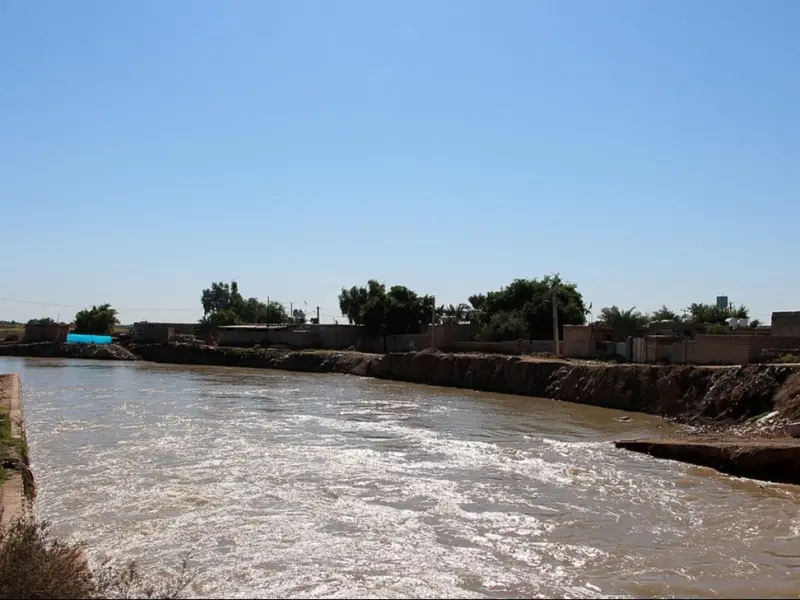
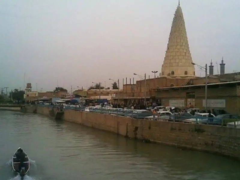
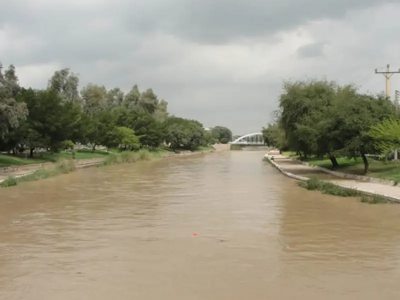
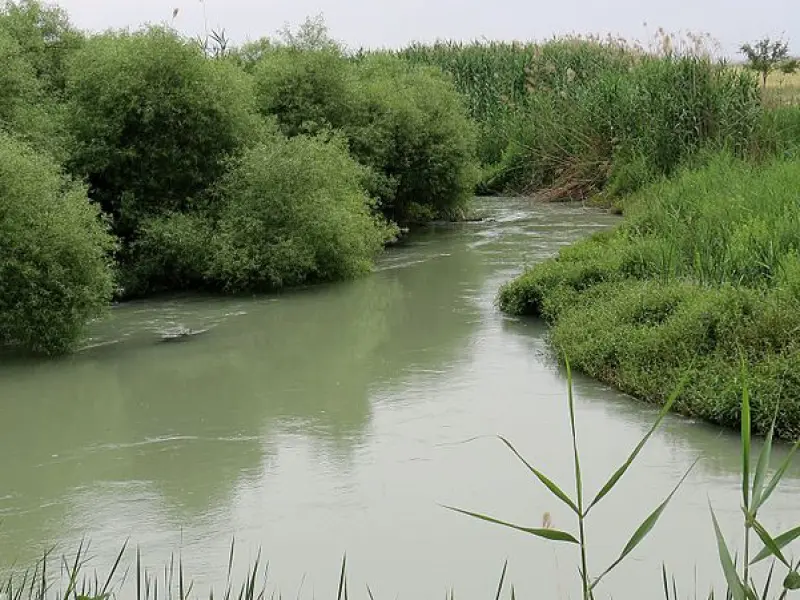
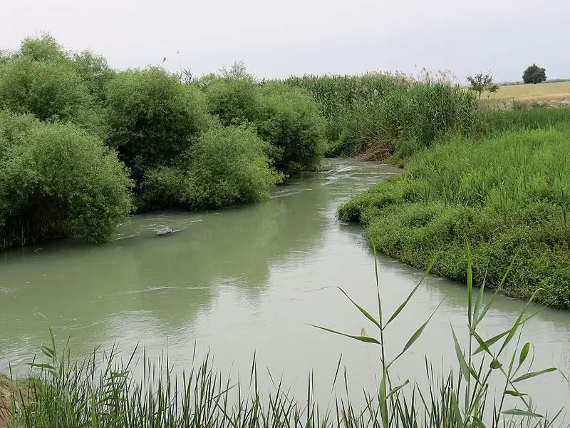
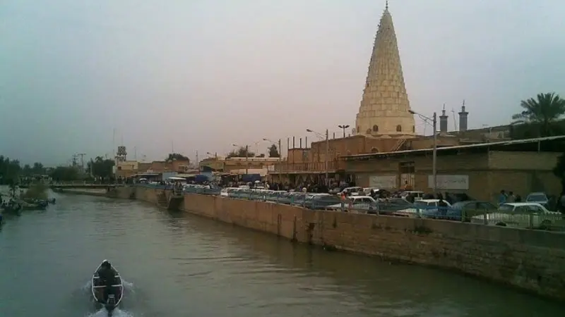
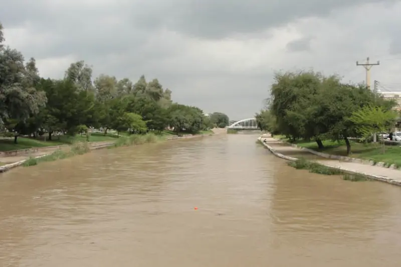
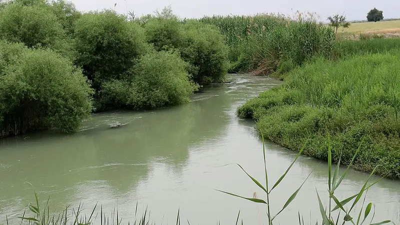
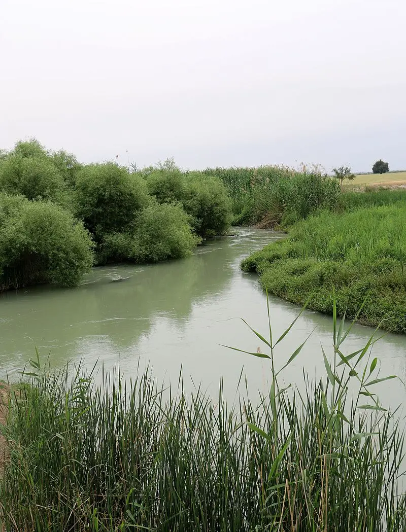
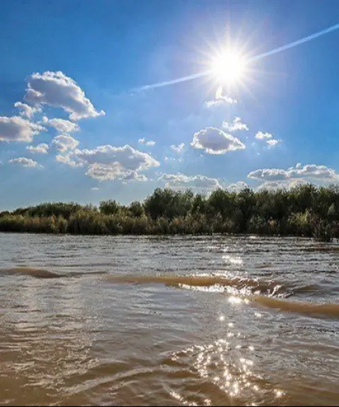
The Shavur River (also spelled Shaur) emerges in Khuzestan Province, about 18 kilometers northwest of the city of Susa (Shush), beside the village of Jarriyeh (Qaryeh Seyyed Ahmad). The river is formed by the confluence of several springs, and as it passes through the historic fabric of the city, it divides it into eastern and western halves. The Shavur then continues parallel to the Ahvaz-Andimeshk road and, after flowing for about 65 to 70 kilometers, finally joins the Dez River. According to some sources, the Shavur is one of the sources feeding the Bamdezh Wetland and a habitat for vulnerable species such as the Euphrates softshell turtle.
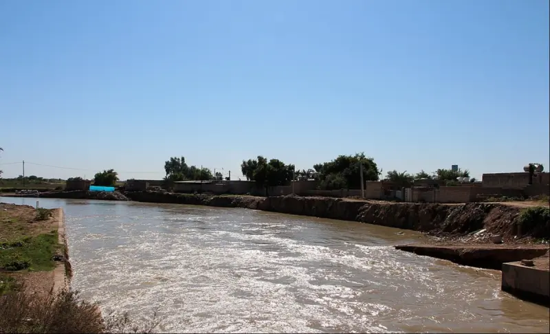
The Shavur River is one of the oldest ancient waterways in Iran and has long played an important role in irrigation and in the agricultural prosperity of the region. Thanks to a favorable difference in elevation relative to the riverbed, the lands around the river have enjoyed highly efficient use of water resources since ancient times. Over time, as the riverbed eroded, problems arose in supplying water for farming, and as a result two diversion dams, the "Shavur Dam" and the "Khayrabad Dam", were built between 1314 and 1319 SH (Solar Hijri). The Shavur Dam was put into operation in 1316 and the Khayrabad Dam in 1319, and they still supply part of the region's water.
The Shavur River can be visited in every season, and visitors can enjoy nature and history together in less than an hour. Safarbazi considers it a good spot for family camping. Riverbank development and the provision of amenities such as paving, gazebos, lighting and a pedestrian walkway have recently been started by the provincial Cultural Heritage organization, which will help make the area more attractive to tourists.
Written by زهرا لنگری Last updated
Activities
What you can do here, and what it takes
-
Walking
ساحل زیبای رودخانه شاوور مناسب پیادهروی است.
Specifications
Introduction of the location and specifications of Shavur River
Location:
Khuzestan, Shush
Coordinates:
32.19215790, 48.24394738
Open in maps
Height above mean sea:
73 meter
Floras:
Semi-desert
Faunas:
Presence of Allergenic Insects
Transports:
Private car, Walking
Tourist Attractions in Khuzestan
Attractions that are nearby

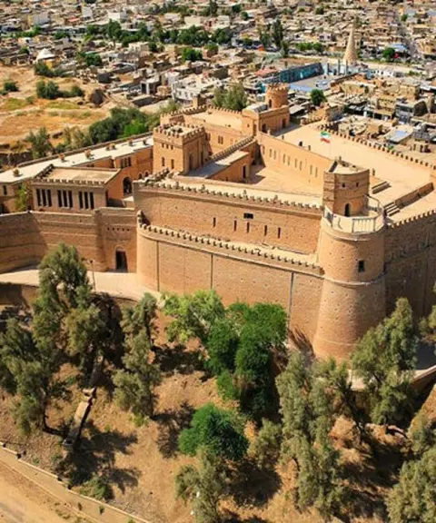
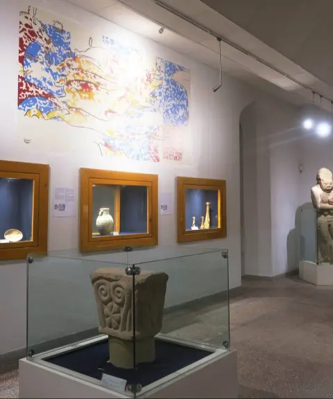
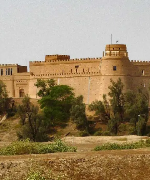
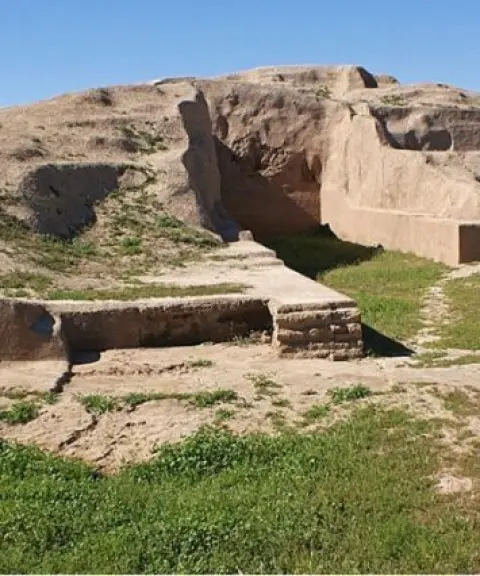
Shush Castle
Province Khuzestan
- Walking
A historic gem rising above the Elamite and Achaemenid civilizations

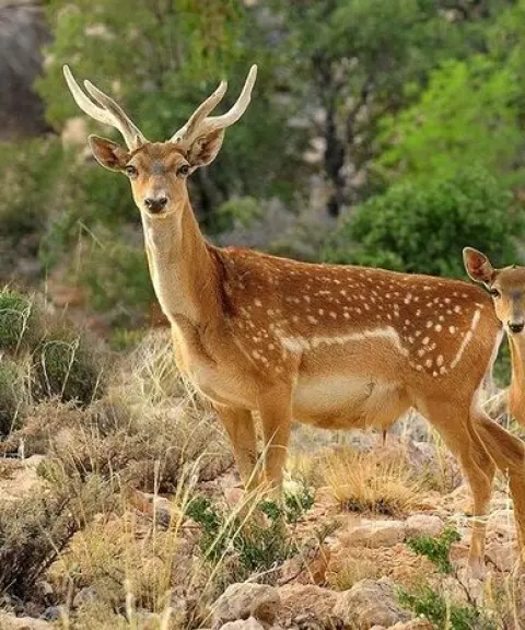
Karkheh National Park
Province Khuzestan
- Walking
The Last Habitat of the Persian Fallow Deer in the Heart of Khuzestan
Related tags:
Unfortunately, no comments have been registered.