
 Waterfalls
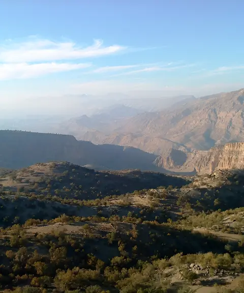

Arand Village
Province Kohgiluyeh and Boyer-Ahmad
- Walking
A Hidden Gem of Kohgiluyeh and Boyer-Ahmad
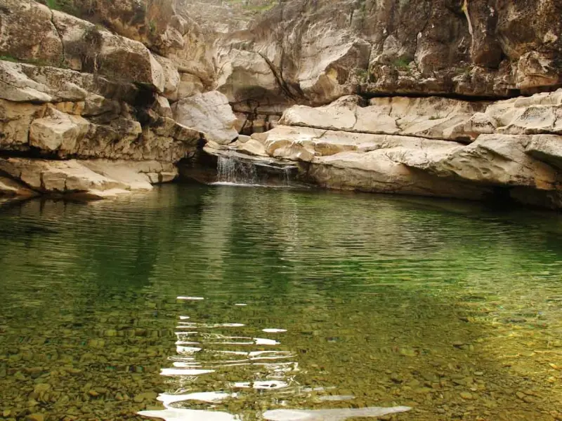
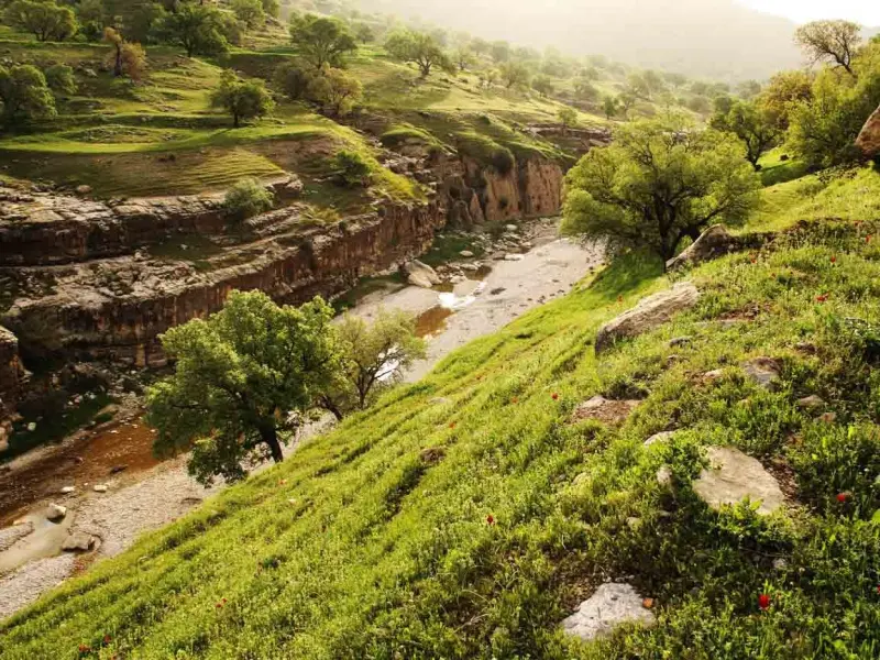
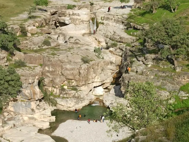
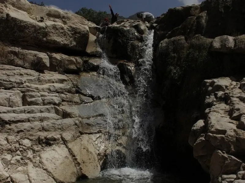
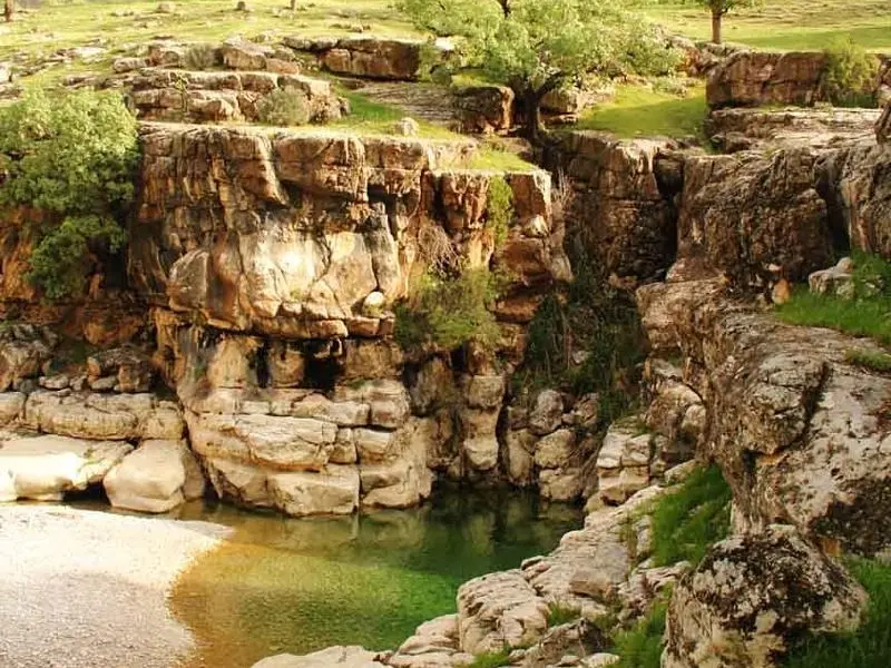
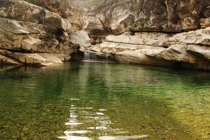
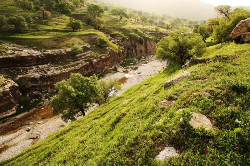
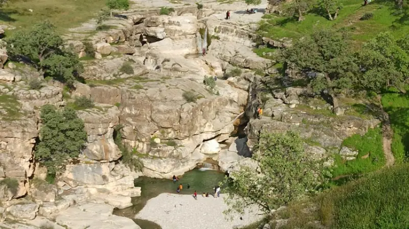
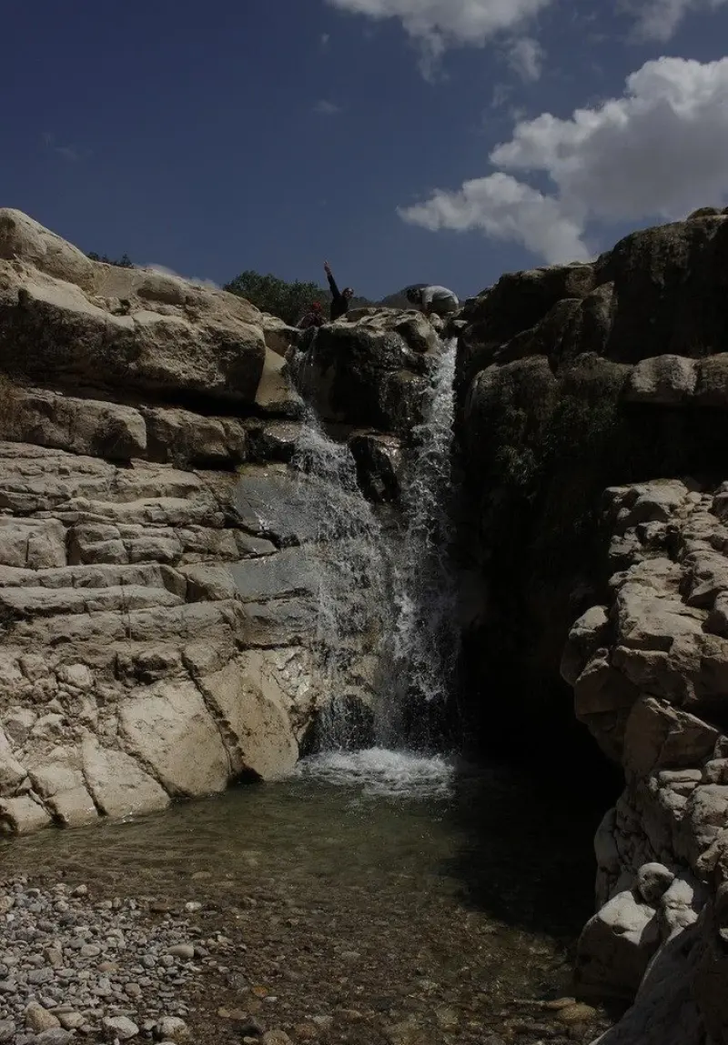
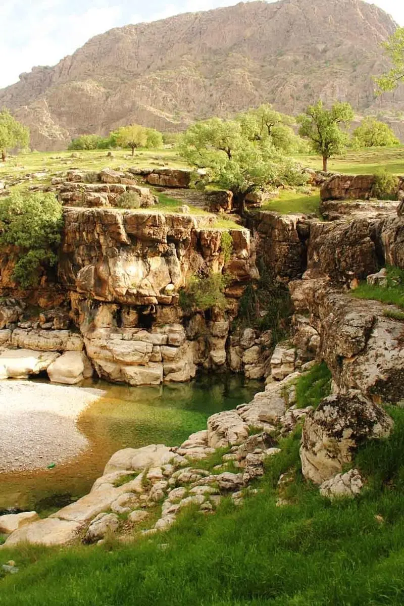
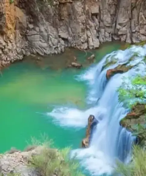
Gole Jeni Waterfall, also known as Shadegan or Shah Bahram Waterfall, lies in a valley between the Khami and Lar mountain ranges, near Shadegan village in Basht County, Kohgiluyeh and Boyer-Ahmad Province. The waterfall consists of two successive tiers and is roughly 15 meters (50 feet) high, creating a striking natural scene. Its main source is the Runeh River, fed by the melting snows of Mount Khami, which flows through the unspoiled nature of the region before reaching this spot.
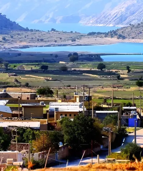
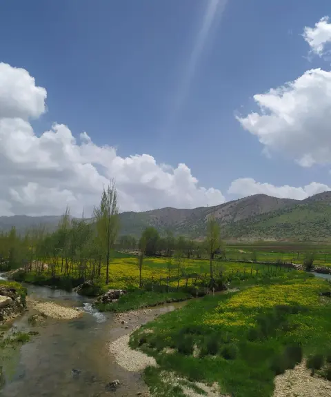
Fed by the snowmelt of Mount Khami along the course of the Runeh River, this beautiful waterfall, with its rocky pools and smooth natural rock face, combines untouched beauty with wild nature. The volume of water is not large, but the rocky surface, old oak trees and wildflowers in spring and late winter make the setting even more charming. Along the Runeh River's course lie villages such as Talchegah, Lar and Kuhsarak, and the river finally reaches Shadegan village, where the two consecutive Gole Jeni waterfalls form a captivating sight.
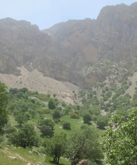
Gole Jeni Waterfall is an appealing destination for nature walkers, not only for its visual beauty but also for its geographic setting and mountain access route. The special silence of the valley, the sound of flowing water, the dense vegetation and the cool mountain breeze make this spot an unforgettable place to escape the summer heat and the bustle of the city. The route begins in Basht County; after passing through the rural areas of Abdehgah, Panbehzar and Lar, at kilometer 35 of the Basht–Cheram asphalt road you will find a dirt track, and a 10-minute walk along the riverbed will bring you to the waterfall. The route is rated easy to moderate and is suitable for covering about 1 to 1.5 kilometers with a small elevation change. The recommended time to visit is late winter to early spring, when nature has just come back to life and the pools are full of water.
Written by زهرا لنگری Last updated
What you can do here, and what it takes
مسیر رودخانهای و فرعی خاکی تا آبشار مناسب برای پیمایش روزانه و طبیعتگردی است.
در برخی حوضچههای پرآب و کمعمق، میتوان با احتیاط خنکی طبیعت را تجربه کرد.
Province Kohgiluyeh and Boyer-Ahmad
Province Kohgiluyeh and Boyer-Ahmad
Province Kohgiluyeh and Boyer-Ahmad
Province Kohgiluyeh and Boyer-Ahmad
Province Kohgiluyeh and Boyer-Ahmad
Province Kohgiluyeh and Boyer-Ahmad


Unfortunately, no comments have been registered.