
 Mountain
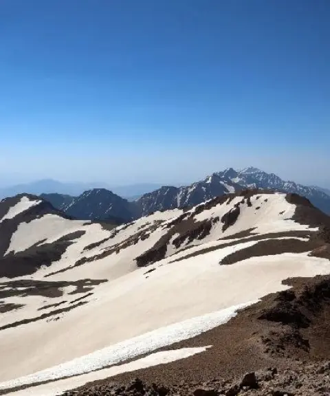
Qash-Mastan Peak
Province Kohgiluyeh and Boyer-Ahmad
- Mountaineering
The highest peak of the Zagros Mountains
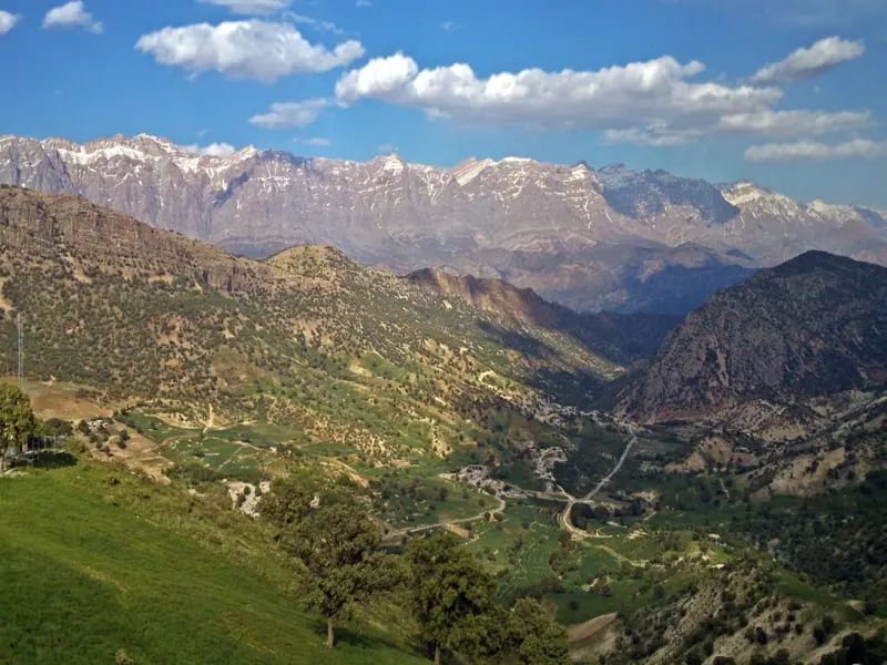
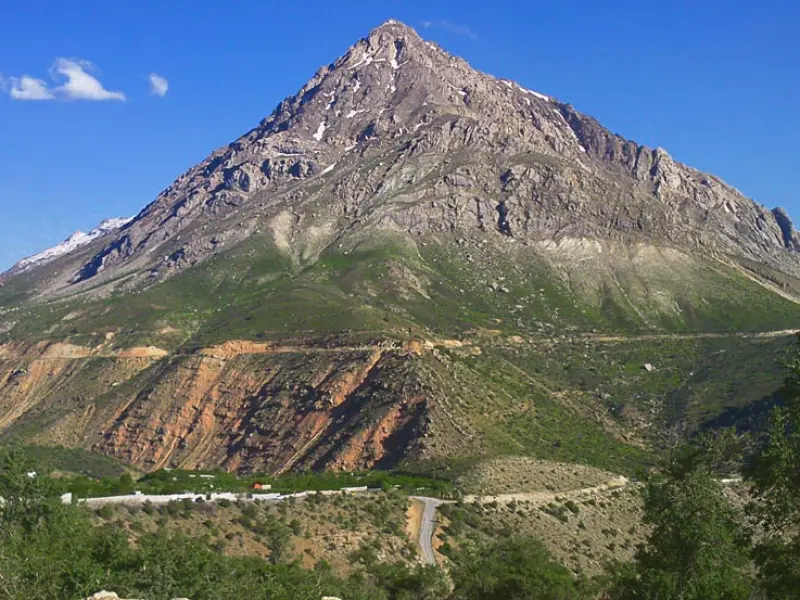
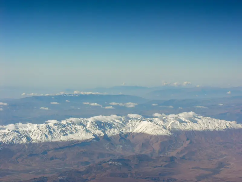
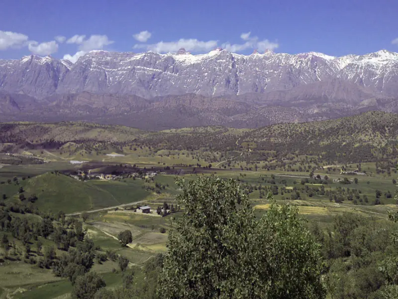
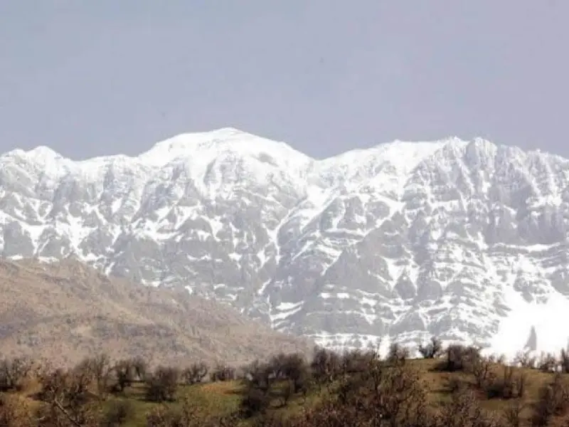
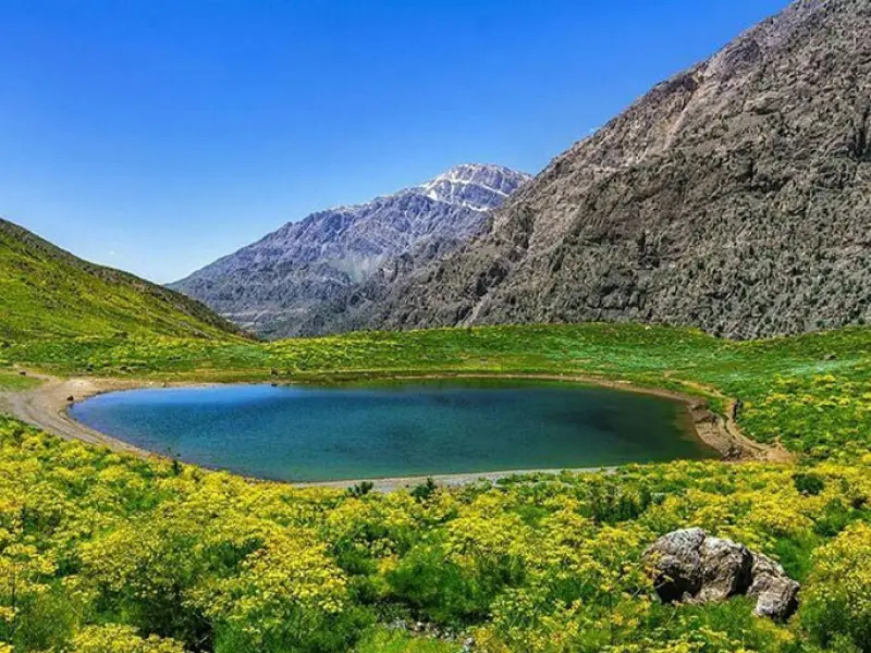
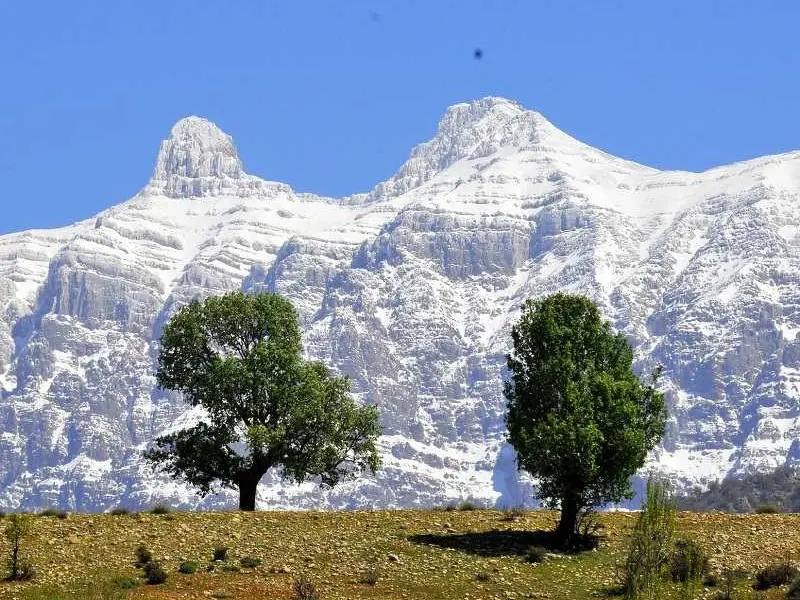
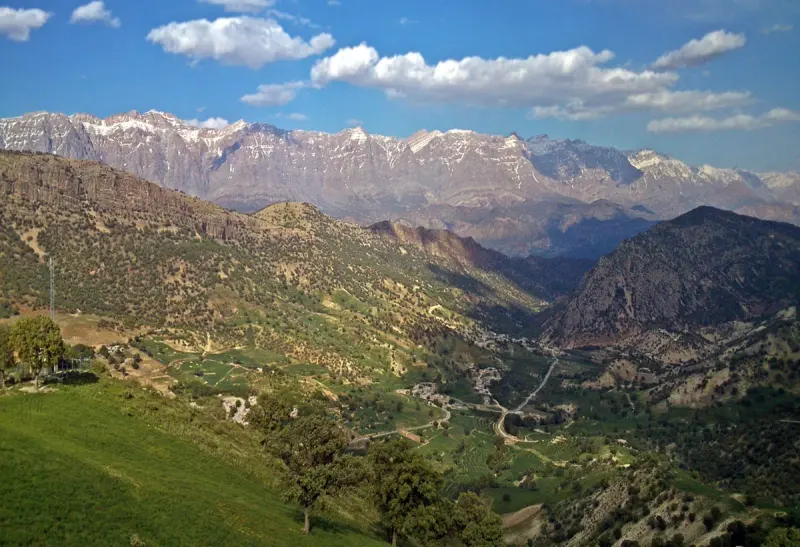
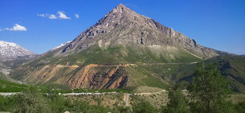
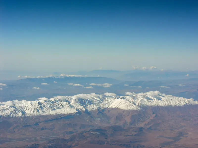
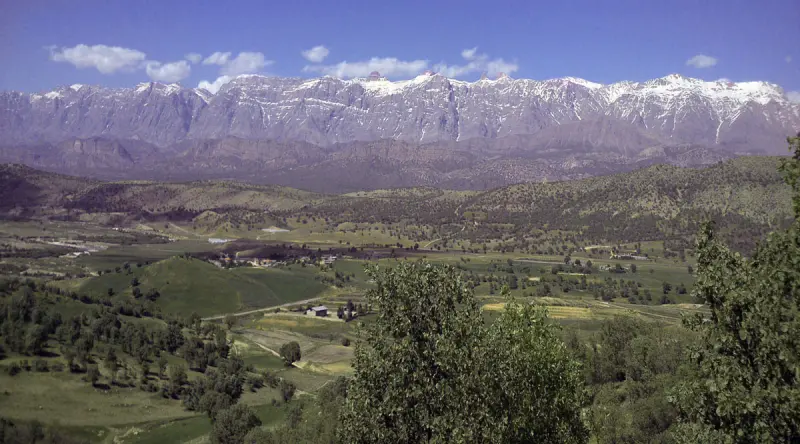
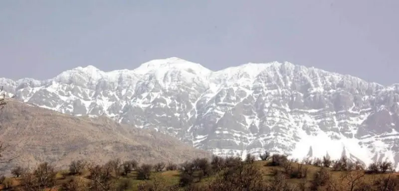
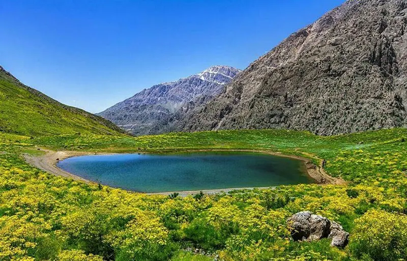
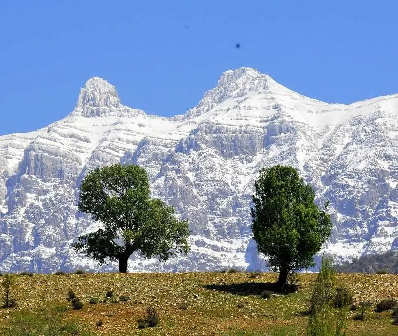
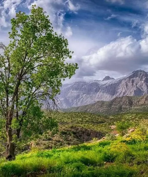
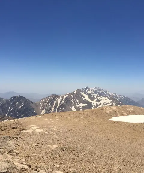
Mount Dena, the largest fold of the Zagros Mountains and the highest peak in the region, is regarded as one of the most important natural attractions in Iran. Spread across three provinces, Kohgiluyeh and Boyer-Ahmad, Isfahan and Fars, the range is about 90 kilometres long and contains 49 peaks above 4,000 metres. This vast and beautiful range consists of three main ridges and one secondary ridge, divided by various passes, and offers unrivalled scenery and a rich variety of plant and animal life.
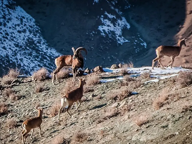
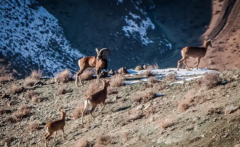
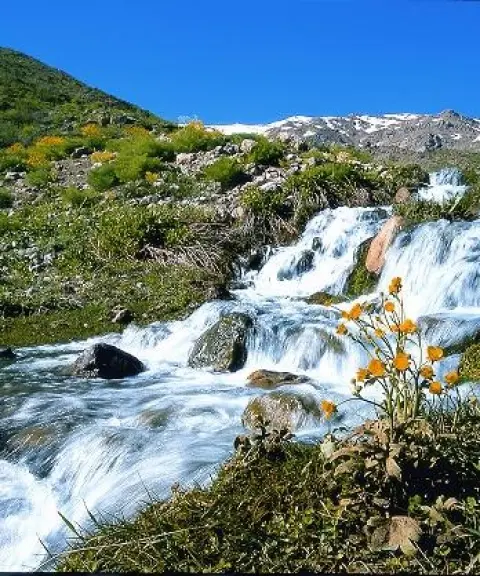
In terms of biodiversity, Mount Dena is an exceptionally rich area. Its wildlife includes a variety of animals such as the brown bear, leopard, wolf, eagle and chukar partridge. Plants such as oak, millet, wild almond and wild pear are also found in abundance in these mountains. Besides its natural attractions, the area has valuable water resources, including springs such as Mishi and Sharanik and well-known rivers such as the Rigan and the Dezkord.
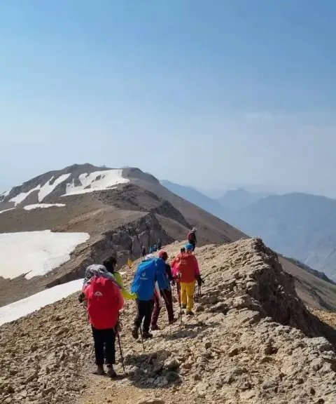
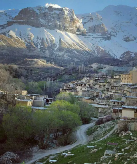
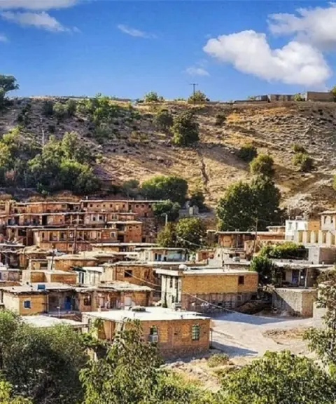
Besides its environmental importance, the Dena Protected Area is an excellent place for mountaineering, hiking and exploring nature. On the slopes of the mountain, the village of Sisakht is a popular destination for travellers thanks to its mild climate and beautiful natural setting. With its grape, walnut and apple orchards, as well as local honey, the area offers visitors special souvenirs. Because Mount Dena is one of the region's most important sources of drinking and irrigation water, the fresh water that flows from its melting snow in the cold season sustains the lives of local people and wildlife.
Route to be added.
Written by زهرا لنگری Last updated
What you can do here, and what it takes
از کفش و لوازم مخصوص کوهنوردی استفاده کنید.
Province Kohgiluyeh and Boyer-Ahmad
Province Kohgiluyeh and Boyer-Ahmad
Province Kohgiluyeh and Boyer-Ahmad
Province Kohgiluyeh and Boyer-Ahmad
Province Kohgiluyeh and Boyer-Ahmad
Province Kohgiluyeh and Boyer-Ahmad


Unfortunately, no comments have been registered.