
 Caves
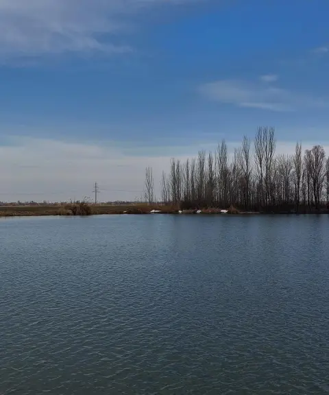
Ghadamgah Cave
The ancient mosque and temple of Badamyar
- Caves
- East Azerbaijan, Azarshahr
- Altitude 1,400 m
- Ability level Advanced
Ability level:
Advanced
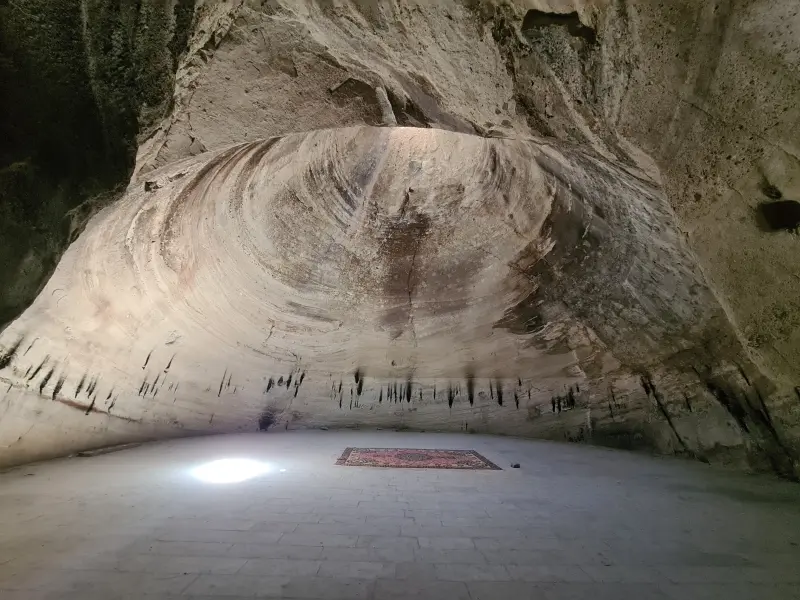
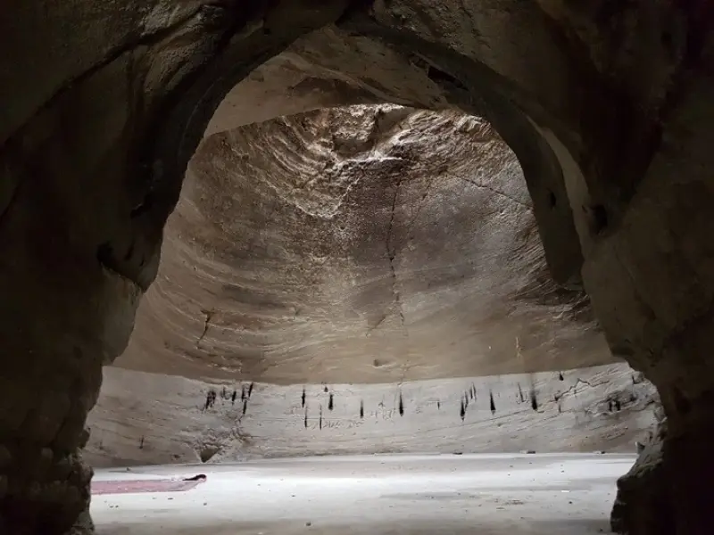
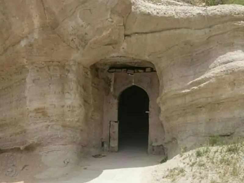
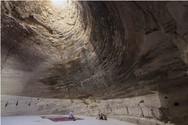
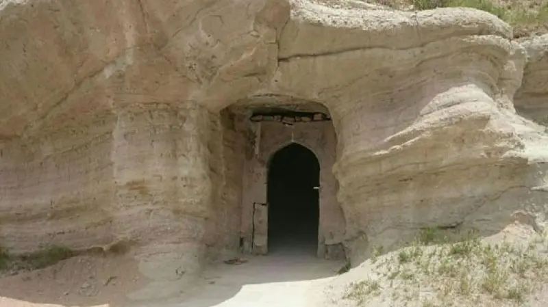
Ghadamgah Cave is located in East Azerbaijan Province, 12 km southeast of Azarshahr and near the village of Badamyar (Ghadamgah). This historic hand-carved cave, with an entrance about 15 meters wide, was first used as a Mithraic temple (Mehr temple) where Mithraists worshipped, and later became an Islamic mosque.
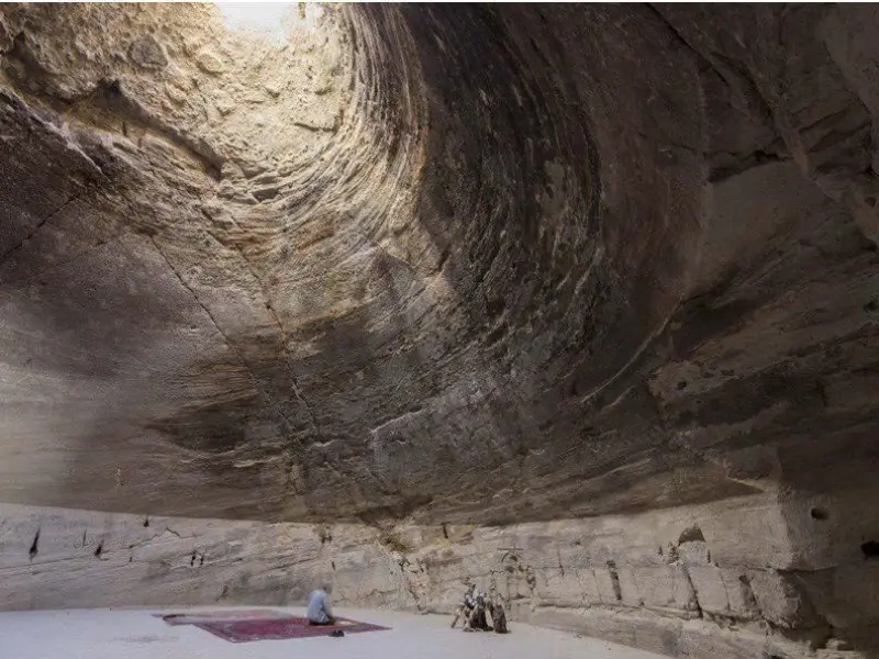
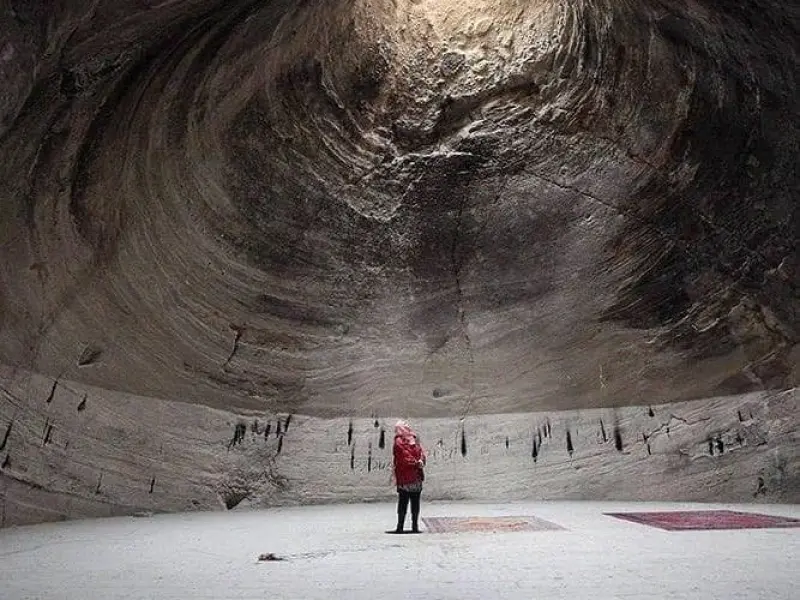
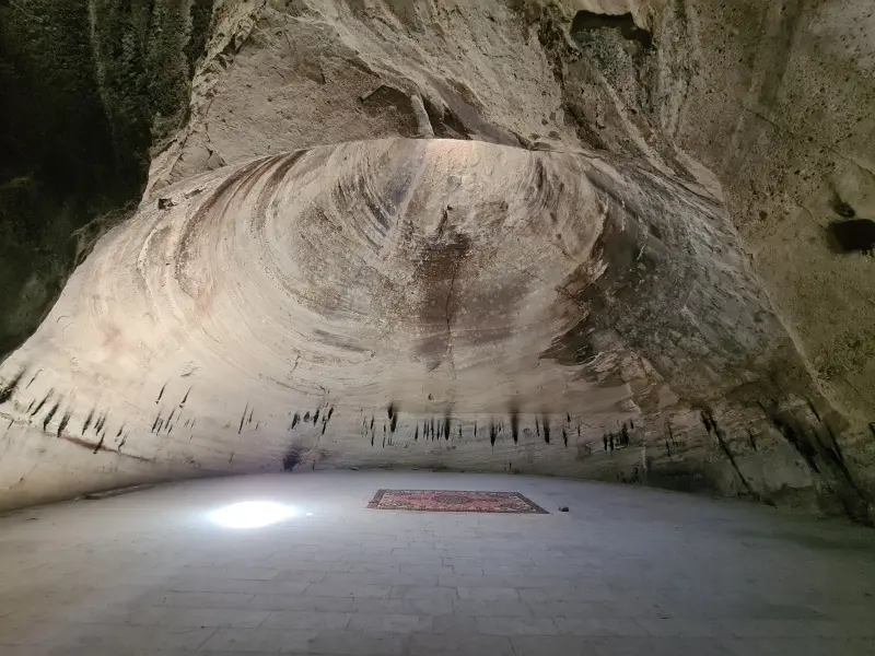
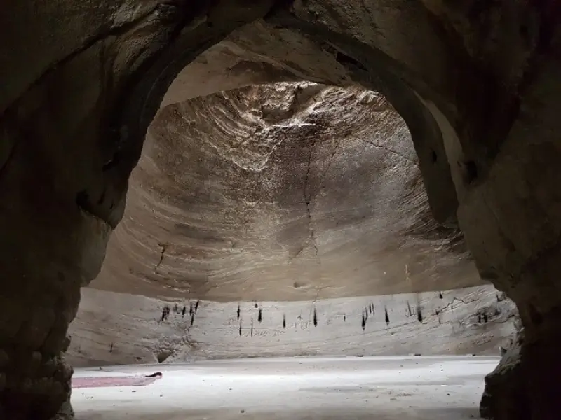
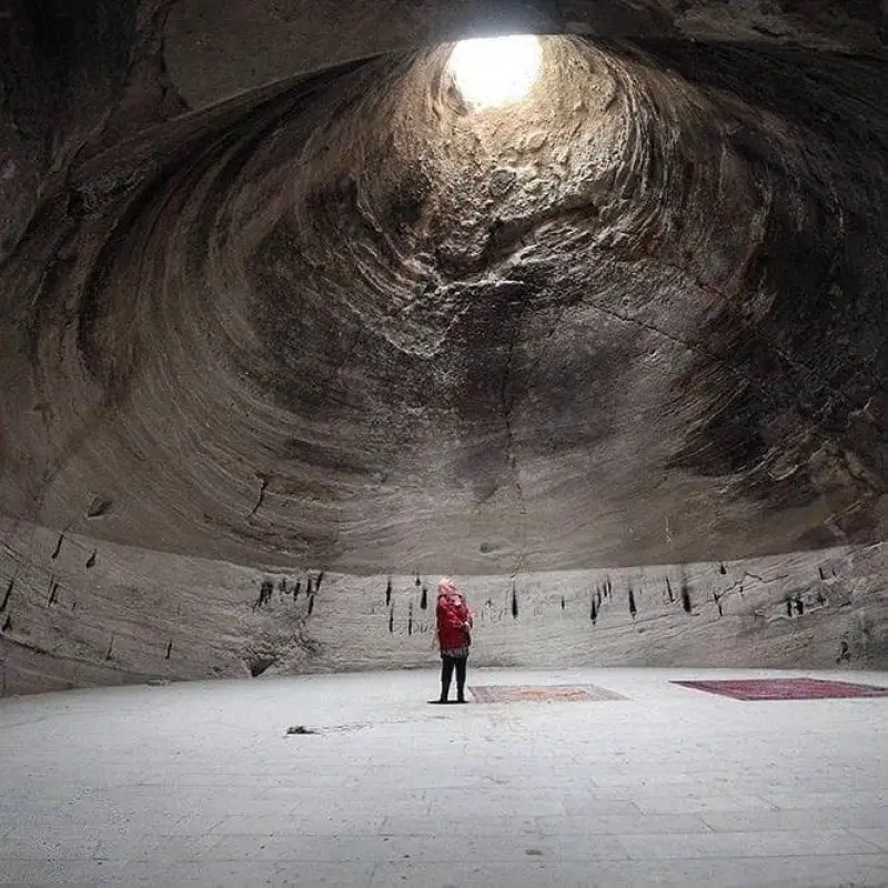
The interior consists of a 9-meter corridor, followed by a 4.5-meter vestibule with a domed ceiling and a conical opening. The height of the dome up to the skylight in the ceiling has been measured at about 12 meters, and a ventilation opening with a diameter of ~0.5 meters provides natural light. Archaeologists have estimated its age at up to about 12,000 years. The site was registered on Iran's National Heritage list in 1347 (Solar Hijri; 1968 CE) under number 779, and it is still a place where local people hold religious ceremonies during the months of Muharram and Ramadan.
To get there, take the road from Azarshahr toward the village of Ghadamgah, then walk a short dirt path to the cave entrance. The site is easily visited by passenger car. The best seasons to visit are spring and summer, when the weather is mild and the skylight inside is much brighter. When visiting, remember to practice responsible nature tourism: do not litter, avoid altering the structure or burning too many candles, and respect the environment.
Written by زهرا لنگری Last updated
Activities
What you can do here, and what it takes
-
Walking
کفش پیادهروی به همراه داشته باشید.
-
Caving
با تجهیزات سبک میتوانید از فضای مخروطی و دهلیز داخلی غار دیدن کنید.
Specifications
Introduction of the location and specifications of Ghadamgah Cave
Location:
East Azerbaijan, Azarshahr
Coordinates:
37.67640000, 46.01410000
Open in maps
Height above mean sea:
1400 meter
Floras:
Rangeland-Steppe
Faunas:
Presence of Predatory Animals, Presence of Allergenic Insects, Presence of Herbivorous Animals
Transports:
Private car, Walking
Tourist Attractions in East Azerbaijan
Attractions that are nearby


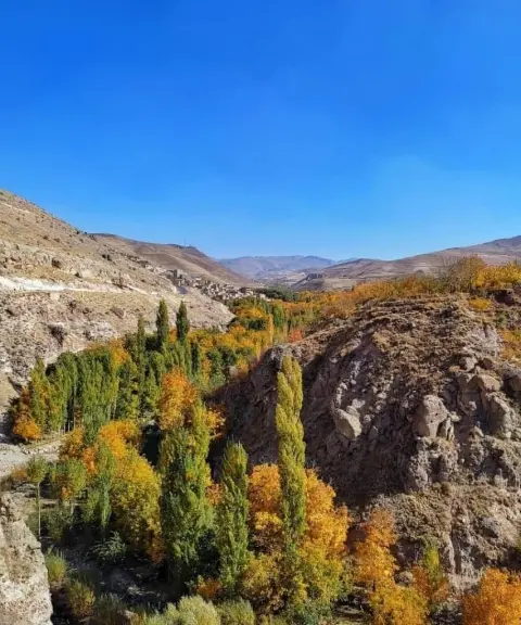
Cheraghil Village
Province East Azerbaijan
- Walking
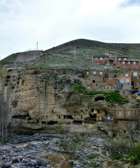
A rock-cut village with a heritage thousands of years old on the slopes of Sahand
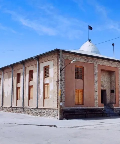
Jame Mosque of Gogan
Province East Azerbaijan
- Walking
A Qajar-era landmark with traditional Azerbaijani wooden architecture
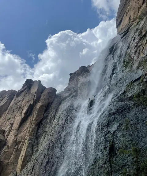

Hergalan Waterfall
Province East Azerbaijan
- Walking
- Swimming
A Hidden Gem in the Heart of the Sahand Mountains
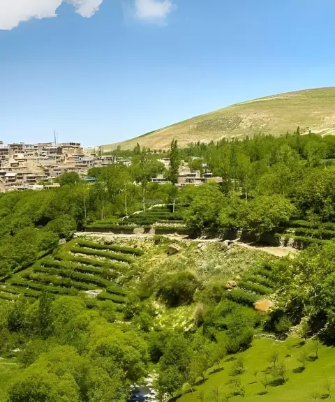
Ganbarf Village
Province East Azerbaijan
- Walking
Land of the Terraced Damask Rose Gardens on the Slopes of Sahand
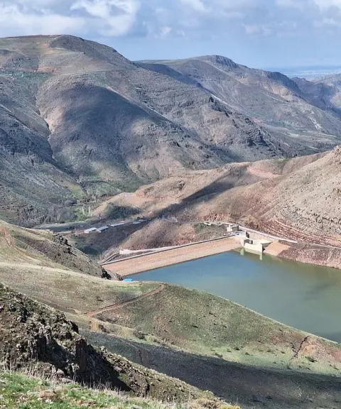
Qaleh Chai Dam
Province East Azerbaijan
- Walking
- Fishing
A Blue Jewel in the Heart of East Azerbaijan's Nature
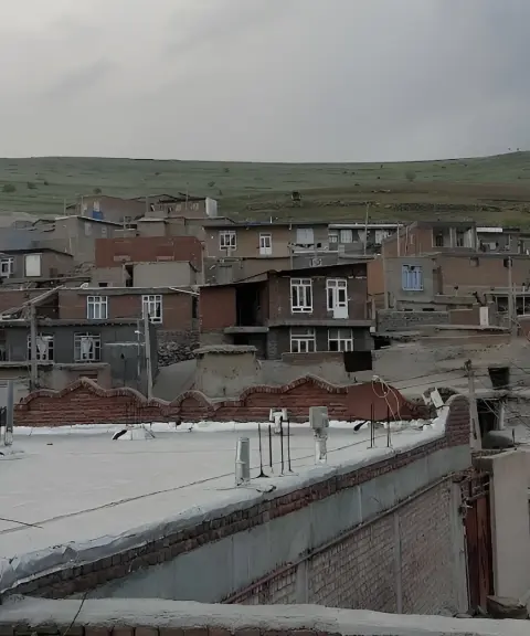
Sur Village
Province East Azerbaijan
- Walking
- Caving
- Mountaineering
A rock-cut architectural masterpiece on the southern slopes of Sahand
Related tags:
Unfortunately, no comments have been registered.