
 Gorge

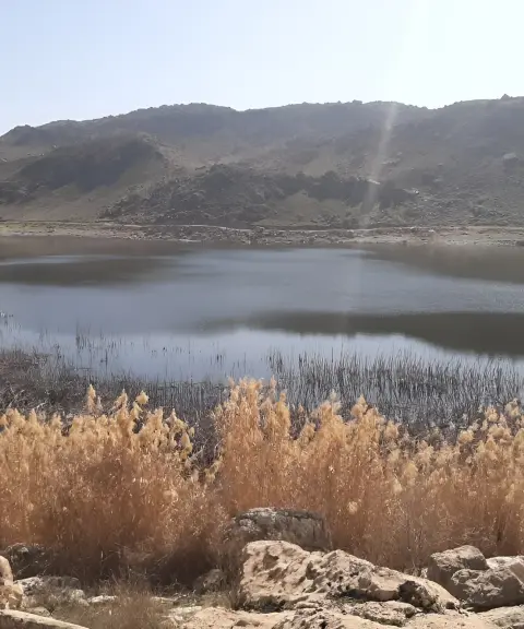
Lafafeh Wetland
Province Lorestan
- Walking
A mysterious gorge in the heart of Kabir Kuh, Ilam
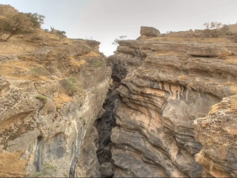
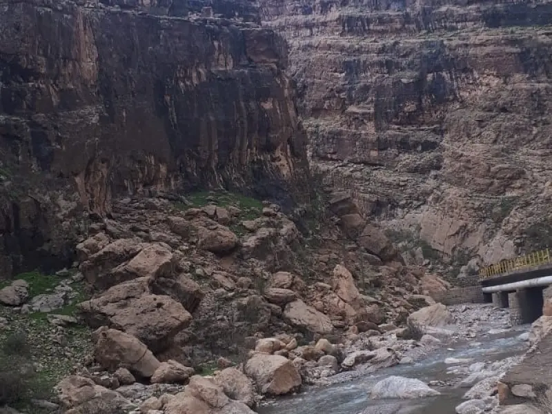
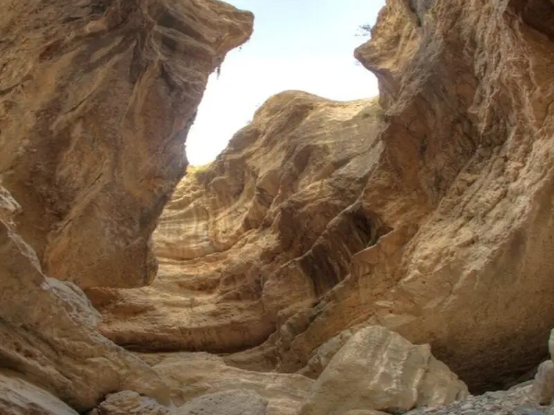
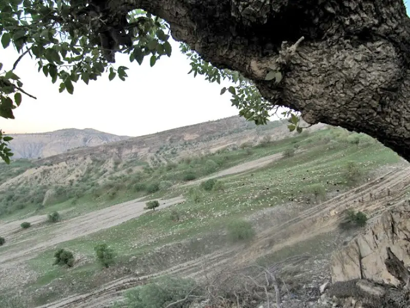
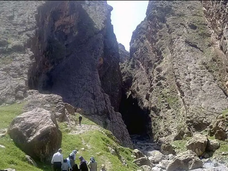
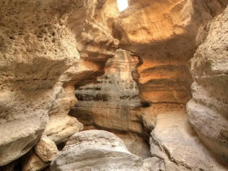
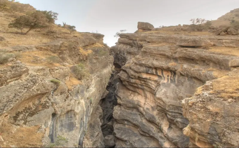
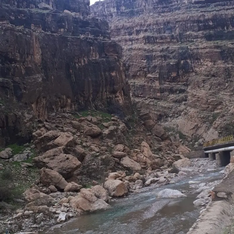
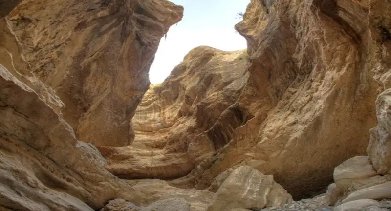
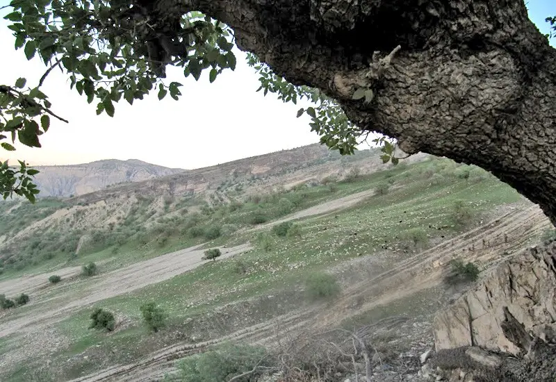
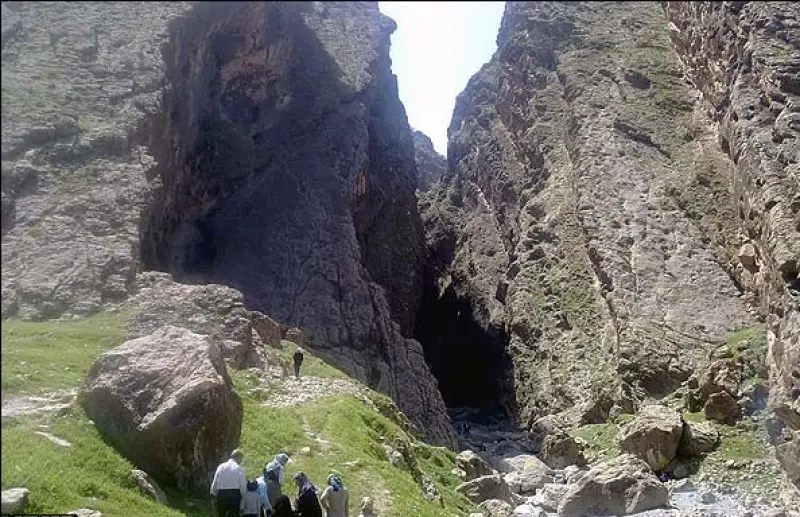
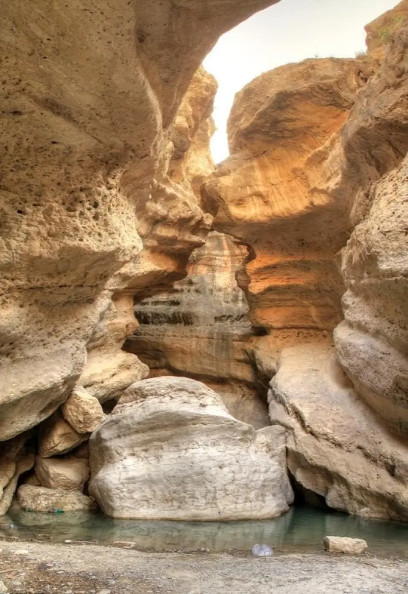
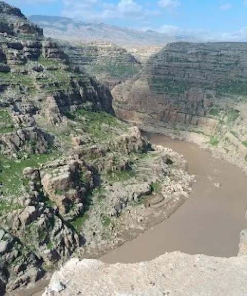
Tang-e Mazhin is located in Ilam Province, in Darreh Shahr County, near the town of Mazhin. The area lies on the slopes of Kabir Kuh, beside the Seymareh River. Mazhin is considered one of the oldest inhabited areas in Iran, and until the Pahlavi era it was under the rule of the Lur Atabegs. After the creation of Ilam Province was approved, it was separated from Lorestan and became part of Ilam Province.
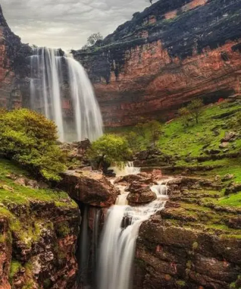
Thanks to its many crypts and natural crevices, including the Kul Kani Cave with an opening about 30 metres wide, Tang-e Mazhin is regarded as one of the region's natural and historical attractions. No traces of life from the Stone Age have been found inside or around the cave, but at the point where the water spills down there is a small basin carved out of stone, whose mortar is probably sarooj (a traditional waterproof mortar). Besides Kul Kani Cave, there are many crypts at this site, numbering up to 12, and in some of them signs of ancient human habitation are visible.
To reach Tang-e Mazhin, you can take the road from Darreh Shahr towards Poldokhtar and, after passing the village of Armo, you will arrive in the Mazhin area. The best time to visit is spring, when nature is at its most beautiful. When visiting this area, it is essential to follow the principles of responsible nature tourism, such as keeping the environment clean and not damaging the vegetation.
Written by زهرا لنگری Last updated
What you can do here, and what it takes
بهتر است با ورزش درهنوردی کمی آشنایت داشته باشید.
Province Lorestan

Province Lorestan


Unfortunately, no comments have been registered.